phil hemsley
@HemsleyPhoto
Landscape and Nature Photographer.
Prints and commercial image use available (by permission)
Photographer for @NTSouthWest @WoodlandTrust
ID:386705541
https://linktr.ee/HemsleyPhoto 07-10-2011 19:04:55
11,1K Tweets
2,0K Followers
3,1K Following
Follow People


'Don't even think about wild swimming here... Treat the river as if it is a biohazard'.
Steve Backshall broadcaster, author and naturalist reveals the utterly shocking if not potentially lethal lab results he got from water testing in the River Thames. 🤮🤮🤮


Orange-tip butterfly
(Anthocharis cardamines)
Harpers Hill holloway, Totnes
#theoldways #holloways #butterfly #orangetipbutterfly #spring #countrywalking Butterfly Conservation 🦋 BBC Springwatch


Hazy transient light, during Storm Kathleen - at Bantham.
#icmphotography #abstractphotography #longexposure #theimportantplaces #coast #stormkathleen2024 #mindfulness #devon #bantham
#cyanotype


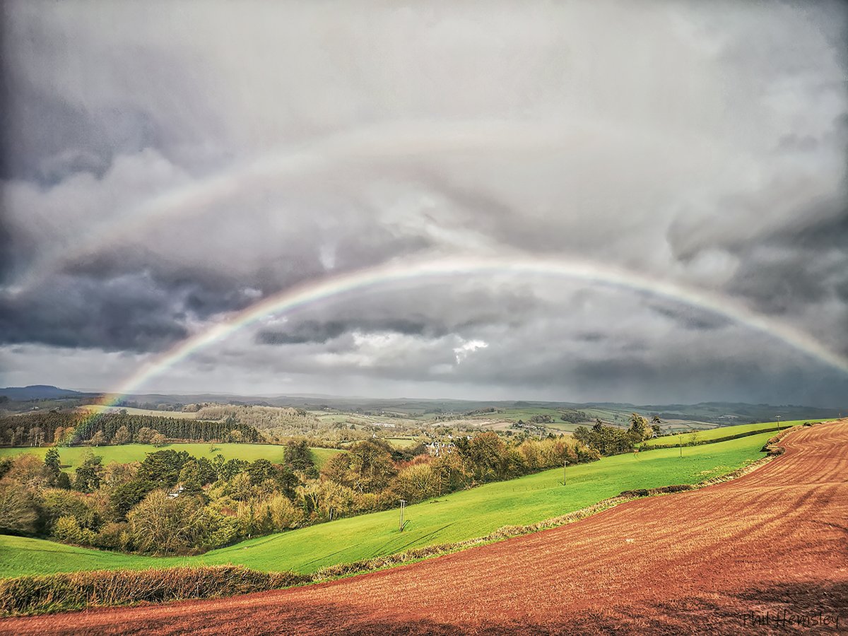
Late morning convective rain clouds above Dartmoor
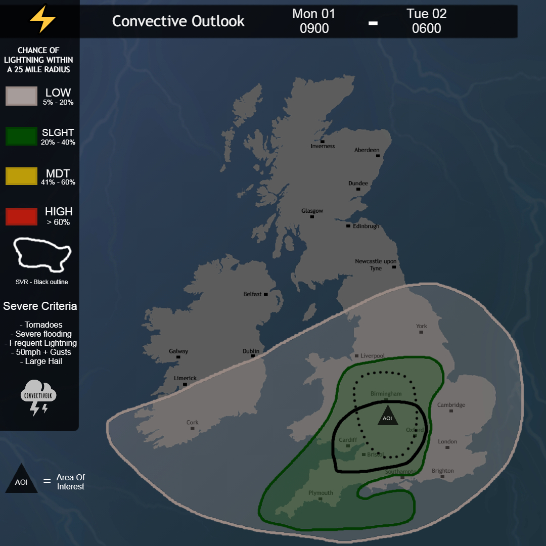
Met Office Convective Weather Cloud Appreciation Society


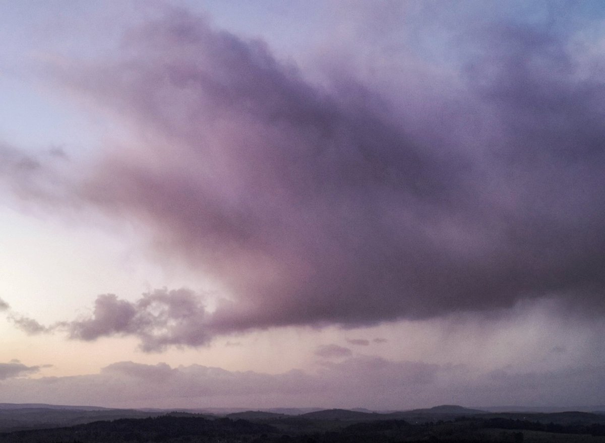
Looking out from Jackman's Lane ridgeway, Old Follaton.
Met Office - England Cloud Appreciation Society #fsprintmonday


