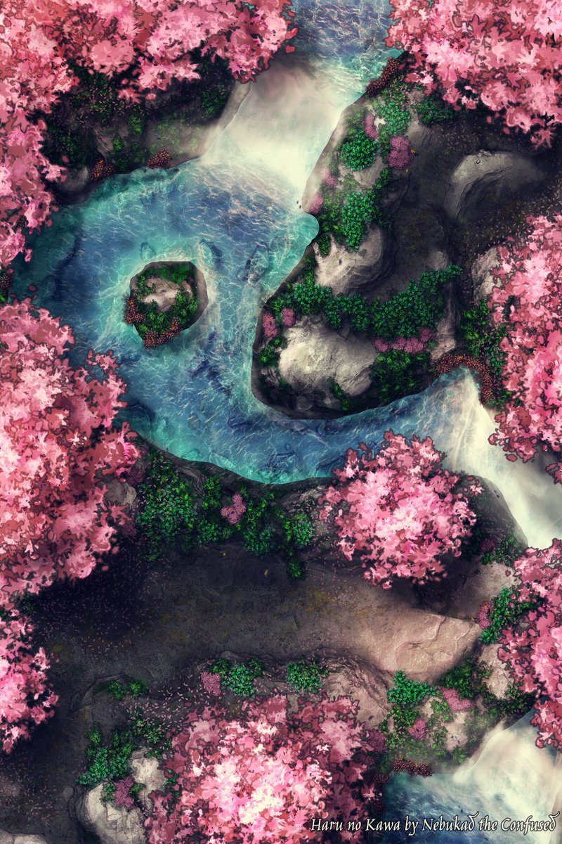
#mapmonday bump along!
A small reminder that I have a giveaway running. So if you like my maps go and check it out.
#TTRPGmaps #Fantasymaps #MapRaffle #battlemaps


Hand drawn 18th Century estate plans look fantastic and also tell us so much about field and place names, landownership and acreage. This is part of a survey Bodrwyn estate, the property of Phillip Hughes Esq. by Richard Owen 1792 Isle of Anglesey County Council #KeepWalesSafe #MapMonday


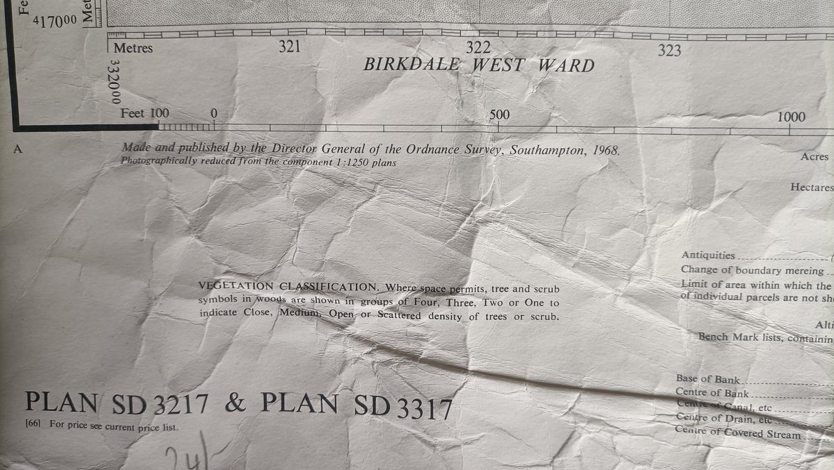
For #MapMonday some close ups of the 1968 OS map, surveyed in 1965. The Railway Hotel and other long gone features still in place on Chapel Street. A large open space on Lord St where terraced villas and the Picturedrome (late Forum) once stood and the site of the model village.

Deven Rue ~ Matriarch of Maps Awww I didn't knew there was #mapmonday :(
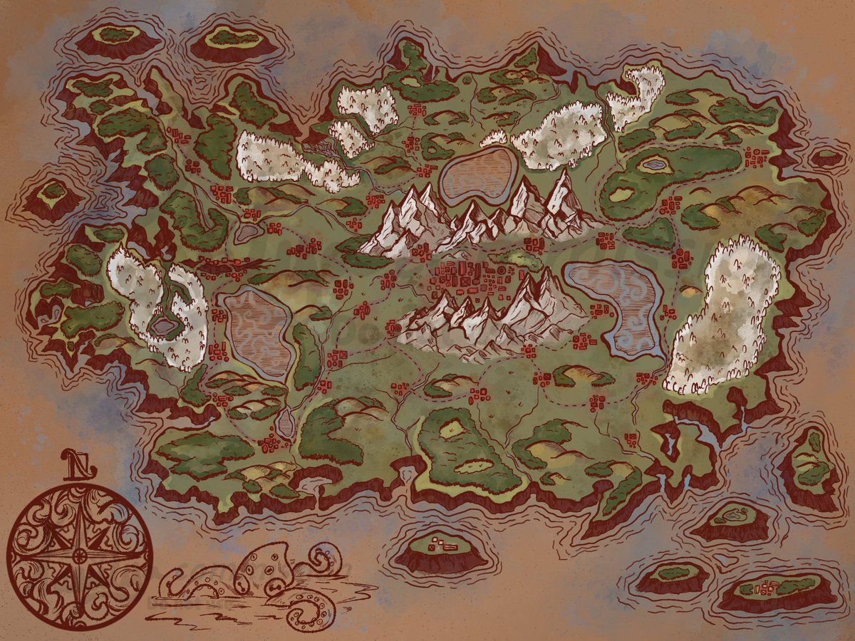
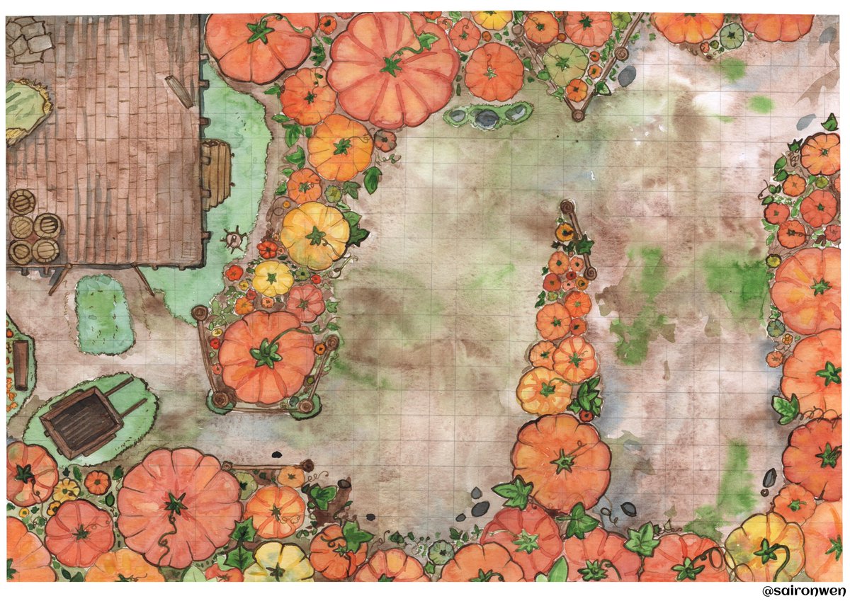
I make maps with watercolor :D
and since Im late I´ll share an old one, just to put some emphasis on it hahaha

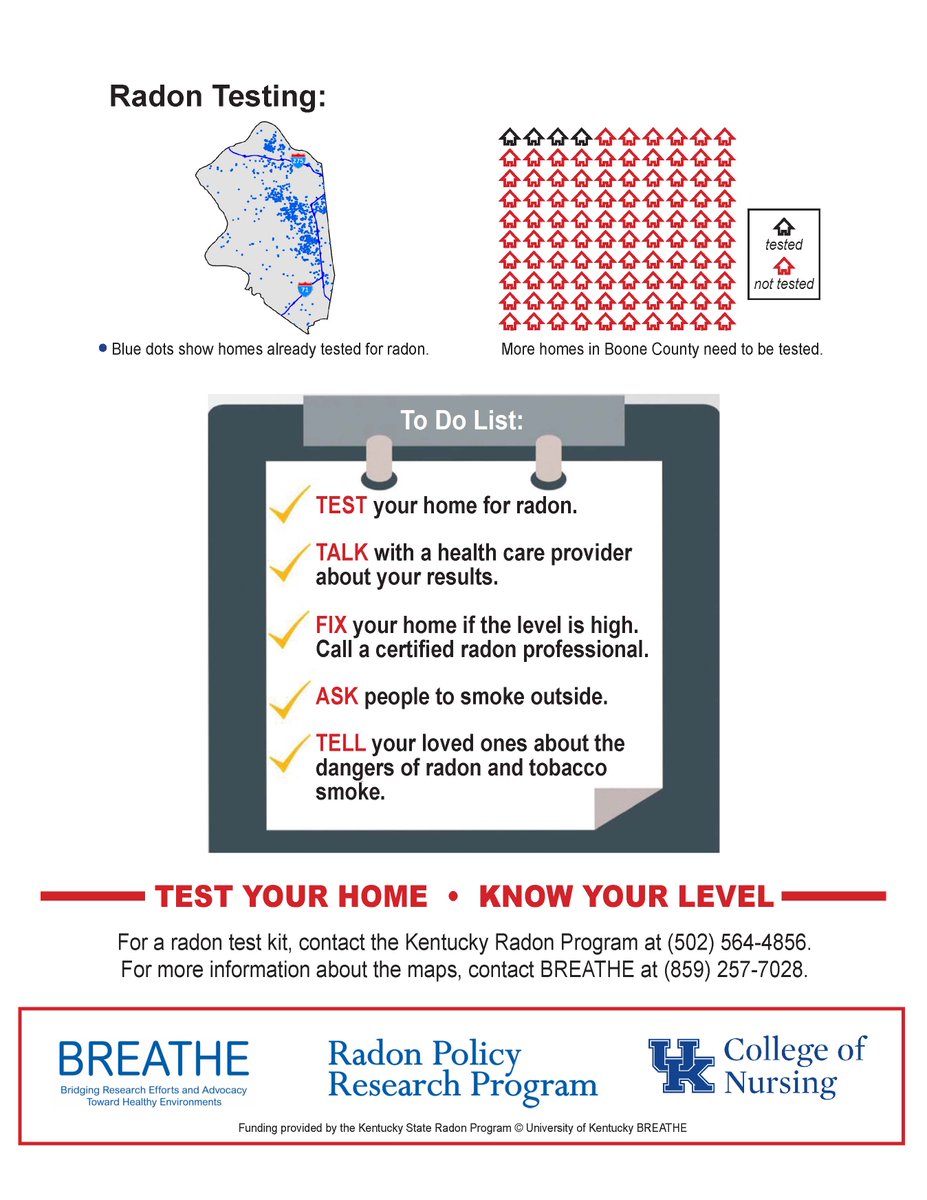
#DYK only 4 in 100 homes in #BooneKY have been tested for #radon & 2 of 10 KY lungcancer cases are #radon -induced? #MapMonday #Burlington #Florence tinyurl.com/2nsymkhy
Markey Cancer Center KY Geological Survey Kentucky Association of Counties Boone County Schools NKY Health Dept Florence Kentucky / Boone County Local News Feed City of Florence, KY NKY Chamber Boone County

Die Reiche der Feenkönige - Map-Concept.
.
.
.
#mapmonday
#mapping
#worldbuilding
#gameartdesign
#rpgmaps
#gameartist
#gamemap
#gamingart


For #MapMonday , an Ordnance Survey six-inch map showing the village of Owston Ferry in #Lincolnshire . The parish is the #OnePlaceStudy of our members Glyn and Julie Brumby. OPS profile page: one-place-studies.org/europe/england…
Map: maps.nls.uk / maps.nls.uk/geo/explore/#z…


#MappyMonday ! Take a trip through #Coventry in 1914 at coventryatlas.org/map/overlays/p…
From @CoventryAtlas
#Maps #GIS #HGIS #SpatialHumanities #DigitalHumanities #GeoHumanities #StoryMaps #MapMonday

On #MapMonday we reflect on the role of Archives and Records Association (UK & Ireland) , representing non-national #Archives on BRICMICS
Today we celebrate Barnsley Archives & Local Studies, with a blog by Paul Stebbing on the #Barnsley Board of Health Map 1856
barnsleymuseums.art.blog/2021/11/19/gem…
ARA Northern Region ARA Section for Archives & Museums


It's #MapMonday & I'm feeling bonita! Fellow cartographers, comment below with the prettiest map you've made to get a RT from me & hopefully others! Tell us the inspiration behind it while you're at it! #cartography #ttrpg #dnd #maps

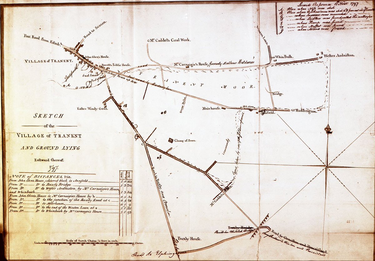
RobbieC...🚴♂️🌊☔️🚉 Dan Jackson Massacre of Tranent 1797 #mapmonday
John Gray Centre
johngraycentre.org/making-connect…

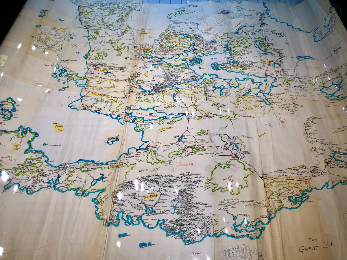
Ed Greenwood's original hand-drawn map of the #ForgottenRealms , sent to TSR in 1986... on Map Monday aka Dungeon Day!
Credit: Photo by Zoltar SageAdvice 🔮🐲🎲, map from Alex Kammer's collection
#map monday #dungeonday #map #map s #fantasymaps #cartography #dnd #rpg #history
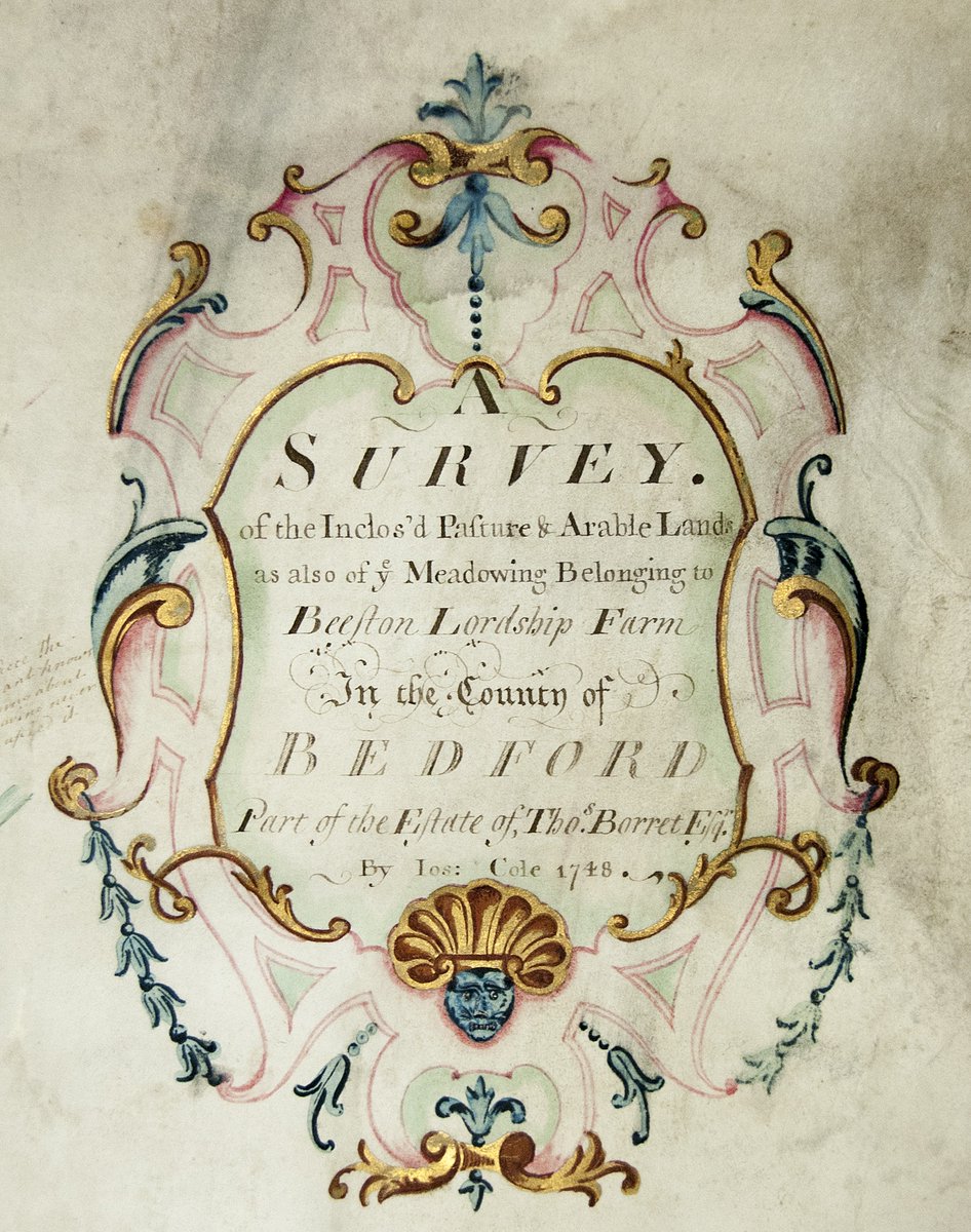
We love the detail on the cartouche and scale of this map of Sandy showing the enclosed arable, pasture and meadow land belonging to Beeston Lordship Farm, 1748 #mapmonday

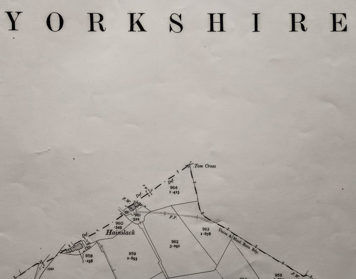
It's #MapMonday !
This is part of the edge of #Lancashire , close to #Colne .
Any beyond?
Nothing to see here, move long please....
#HereBeDragons

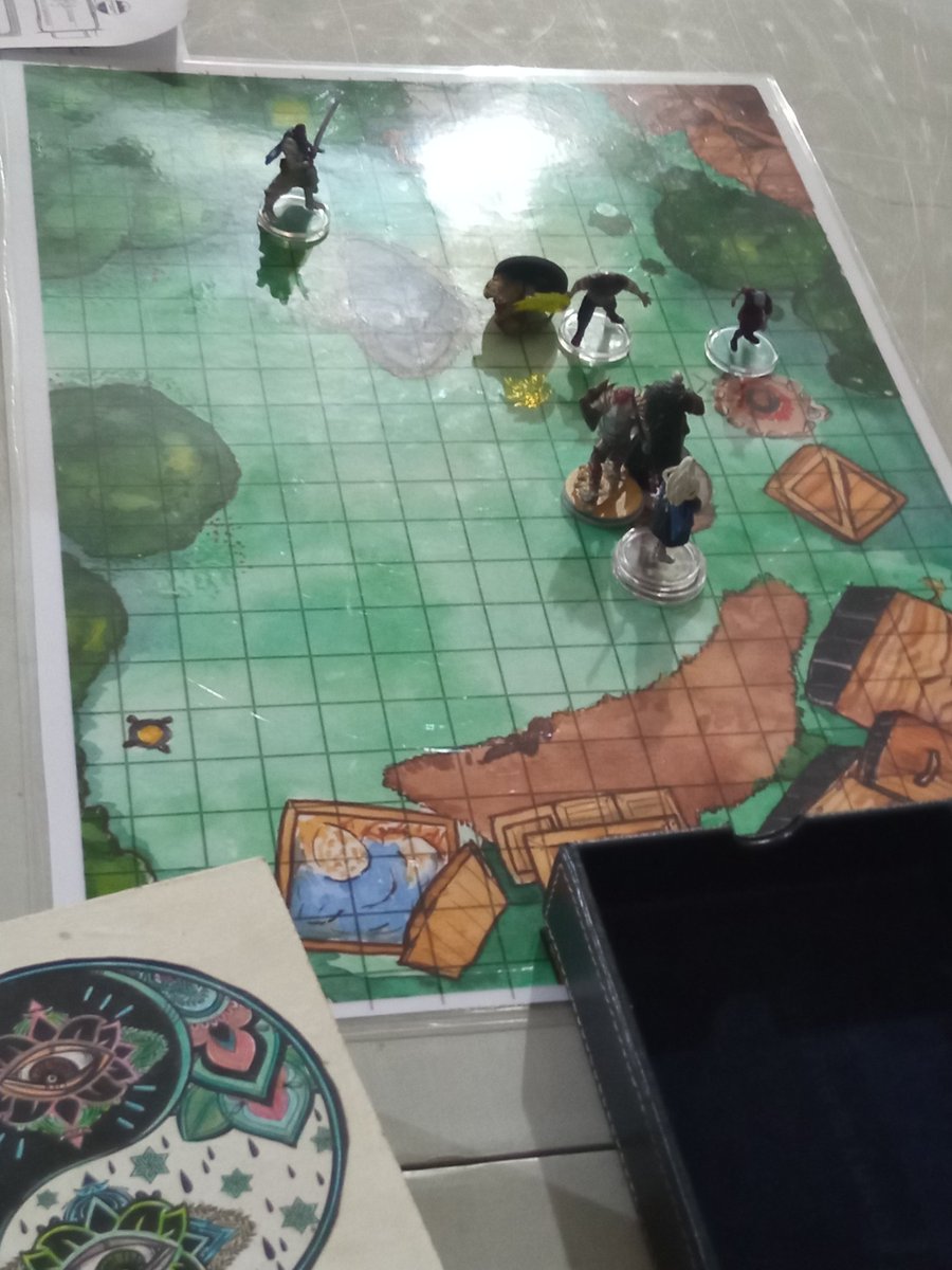
For #mapmonday I'll share my first and last map, with the happy party who got to play with them :D
All my maps are made with watercolor and then I add some watercolor assets and the grid digitally.

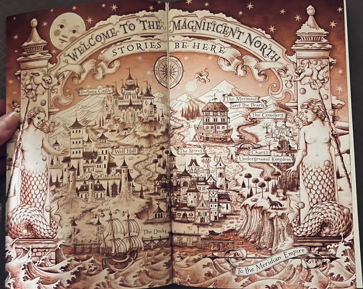
It’s #MapMonday and today is in celebration of the exclusive #BarnesandNoble pink edition of Once Upon a Broken Heart by Stephanie Garber. 💖 #Booktwt
