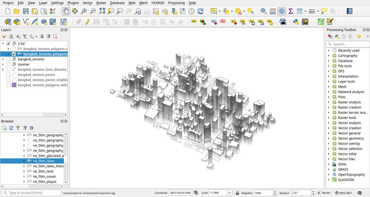
Sven Schroeter(@sven_s8) 's Twitter Profileg
Sven Schroeter

@sven_s8

Spatial Web Worker - Geographer, #Webgis, #Mapserver, #Postgis, #OpenLayers, #Leaflet, #QGIS, #OpenSource, #OpenData, #3DMapping, #Photogrammetry Gadget-Geek

ID:554282016

linkhttp://www.netgis.de calendar_today15-04-2012 08:57:02

2,9K Tweets

1,1K Followers

419 Following

mapsdotcom(@mapsdotcom) 's Twitter Profile Photo

Ever wonder how global temperatures are recorded?

This map from NASA's Scientific Visualization Studio shows a network of sensors—some fixed in place, others like buoys that drift—that keep continuous track of Earth's temperature.

Learn more: maps.com/how-and-where-…

account_circle
Sanghee Shin(@endofcap) 's Twitter Profile Photo

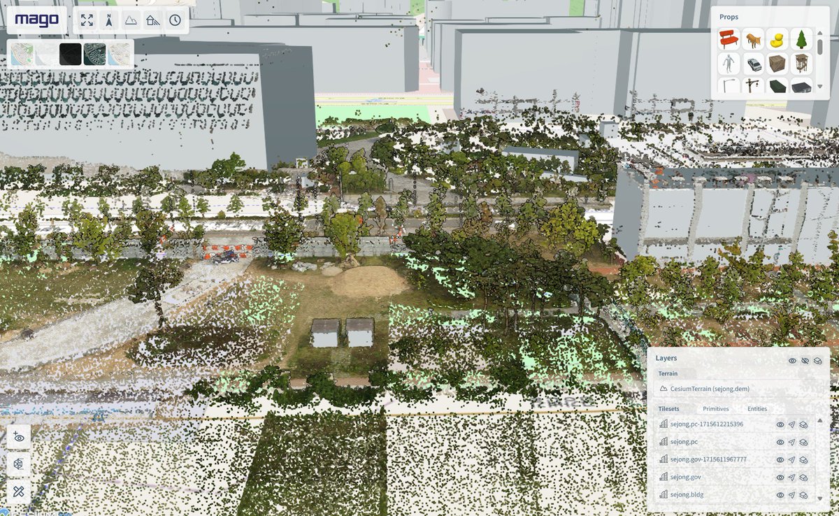
I'll be showcasing 'How to Build a Digital Twin Service in 10 Minutes with Open Source!' at the KSIS Spring Conference on May 16th. So, I tested DEM, buildings, realistic models, BIM, point clouds, and UGI, and it took only 9 minutes and 47 seconds!

I'll be showcasing 'How to Build a Digital Twin Service in 10 Minutes with Open Source!' at the KSIS Spring Conference on May 16th. So, I tested DEM, buildings, realistic models, BIM, point clouds, and UGI, and it took only 9 minutes and 47 seconds! #DigitalTwin #mago3DTiler
account_circle
Alexandre Neto(@AlexNetoGeo) 's Twitter Profile Photo

I have set up a brand new website for my professional activity. The inauguration comes with new blog post:
aneto.pt/posts/tutorial…

account_circle
Stefan Reifenberg(@Reyfenberg) 's Twitter Profile Photo

New exploring traffic noise pollution in Freiburg im Breisgau.

Been mega busy the last couple of months, so I am happy to finally share something new. More coming soon though!

Made with Svelte Threlte D3.js Theatre.js
Data from Open Data Freiburg

account_circle
Cesium(@CesiumJS) 's Twitter Profile Photo

New tutorial: Learn to hide regions of 3D Tiles or terrain with clipping polygons in CesiumJS. This is useful when isolating areas of interest in a global dataset, adding overlapping tilesets such as a design model inset into an existing dataset, & more. hubs.li/Q02vWQbR0

New tutorial: Learn to hide regions of 3D Tiles or terrain with clipping polygons in CesiumJS. This is useful when isolating areas of interest in a global dataset, adding overlapping tilesets such as a design model inset into an existing dataset, & more. hubs.li/Q02vWQbR0
account_circle
Ujaval Gandhi(@spatialthoughts) 's Twitter Profile Photo

Learn about Cloud Optimized GeoTIFFs (COGs). Learn the concept behind this format and how to create COGs using . Don't miss the demo of streaming and clipping a 8GB raster to without downloading it! youtube.com/watch?v=vHrT9p…

account_circle
Jürgen E. Fischer🇪🇺🇺🇦(@JuergenEFischer) 's Twitter Profile Photo

Linux, Windows (with many dependency updates) and Mac packages of new release 3.36.2 'Maidenhead' and point release 3.34.6 'Prizren' (LTR) ready on qgis.org. Make maps not war!

Linux, Windows (with many dependency updates) and Mac packages of new #QGIS release 3.36.2 'Maidenhead' and point release 3.34.6 'Prizren' (LTR) ready on qgis.org. Make maps not war!
account_circle
Capturing Reality(@RealityCapture_) 's Twitter Profile Photo

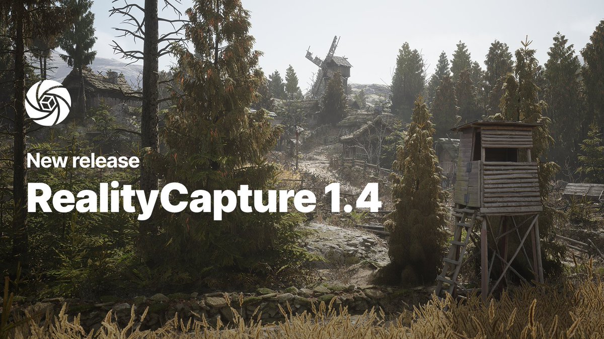
Exciting news: RealityCapture 1.4 is here! Download it today and capture the world in 3D.

What’s new:
▪ Updated pricing model
▪ Now available in the Epic Games launcher and Epic Developer Portal
▪ Sign-in updates and bug fixes
capturingreality.com/realitycapture…

Exciting news: RealityCapture 1.4 is here! Download it today and capture the world in 3D. What’s new: ▪ Updated pricing model ▪ Now available in the Epic Games launcher and Epic Developer Portal ▪ Sign-in updates and bug fixes capturingreality.com/realitycapture… #RealityCapture14
account_circle
Ujaval Gandhi(@spatialthoughts) 's Twitter Profile Photo

My 'Mastering Tools' course is now available on YouTube! This course is the result of my 20 years of experience processing large volumes of imagery and building data pipelines. Check out the playlist at youtube.com/playlist?list=… . More in the thread below (1/n)

My 'Mastering #GDAL Tools' course is now available on YouTube! This course is the result of my 20 years of experience processing large volumes of imagery and building data pipelines. Check out the playlist at youtube.com/playlist?list=… . More in the thread below (1/n)
account_circle
Landesregierung Rheinland-Pfalz(@rlpNews) 's Twitter Profile Photo

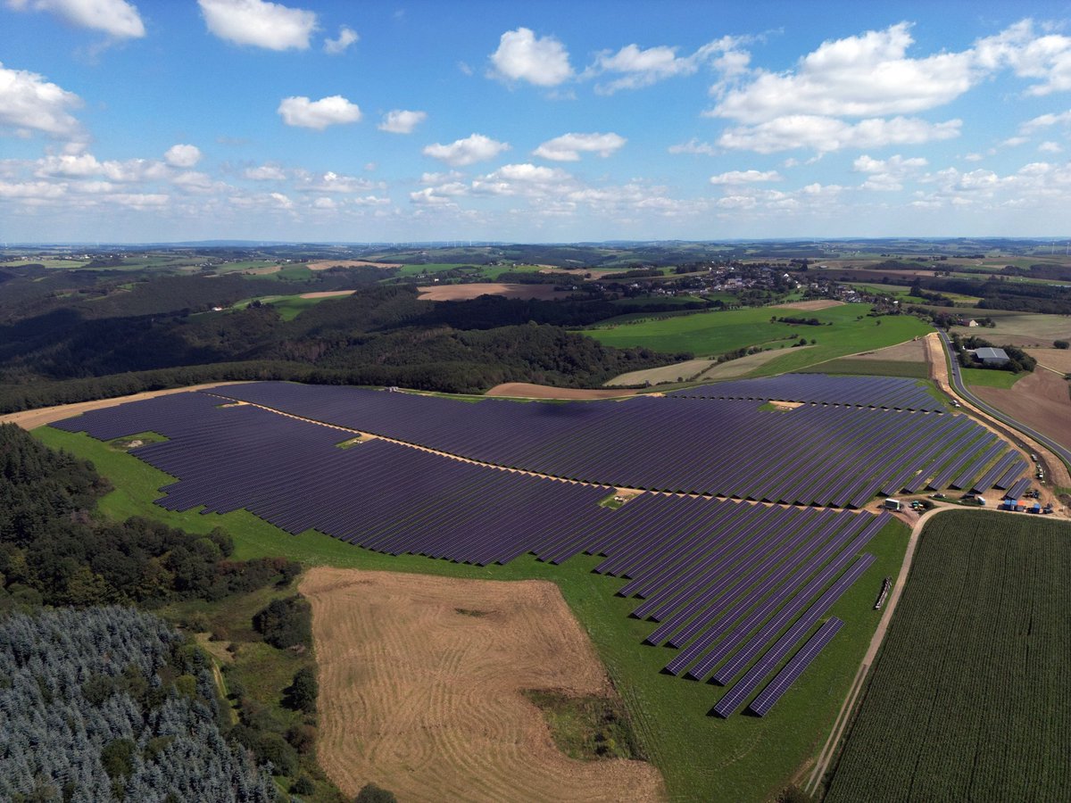
🌞 Größter -Park in eröffnet
🔋 Mit 200 Megawatt wird Solarpark in Eifel erheblichen Teil d. regionalen liefern & CO2-Emissionen reduzieren.
😎 Bei Einweihung war Staatssekretär im Ministerium für Klimaschutz, Umwelt, Energie & Mobilität, Michael Hauer.

🌞 Größter #Photovoltaik-Park in #RLP eröffnet 🔋 Mit 200 Megawatt wird Solarpark in Eifel erheblichen Teil d. regionalen #Energie liefern & CO2-Emissionen reduzieren. 😎 Bei Einweihung war Staatssekretär im Ministerium für Klimaschutz, Umwelt, Energie & Mobilität, Michael Hauer.
account_circle
Otto Seiskari(@oseiskar) 's Twitter Profile Photo

Our first public outdoor drone demo! Spectacular AI SDK can be used to track the position of a drone without GPS. Demonstrated here with our low-cost reference HW design (the round thing under the off-the-shelf DJI drone) and compared to the on-board GPS as the ground truth

account_circle
Cesium(@CesiumJS) 's Twitter Profile Photo

As scheduling and driving are increasingly automated, (DB InfraGO, a subsidiary of Deutsche Bahn Deutsche Bahn AG) is mapping German rail lines and surrounding areas in 3D with CesiumJS. bit.ly/3x6gVu7
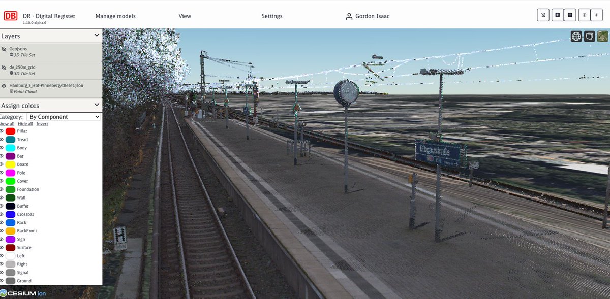
As scheduling and driving are increasingly automated, #DigitaleSchieneDeutschland (DB InfraGO, a subsidiary of Deutsche Bahn @DB_Presse) is mapping German rail lines and surrounding areas in 3D with CesiumJS. bit.ly/3x6gVu7
account_circle
MapTiler(@MapTiler) 's Twitter Profile Photo

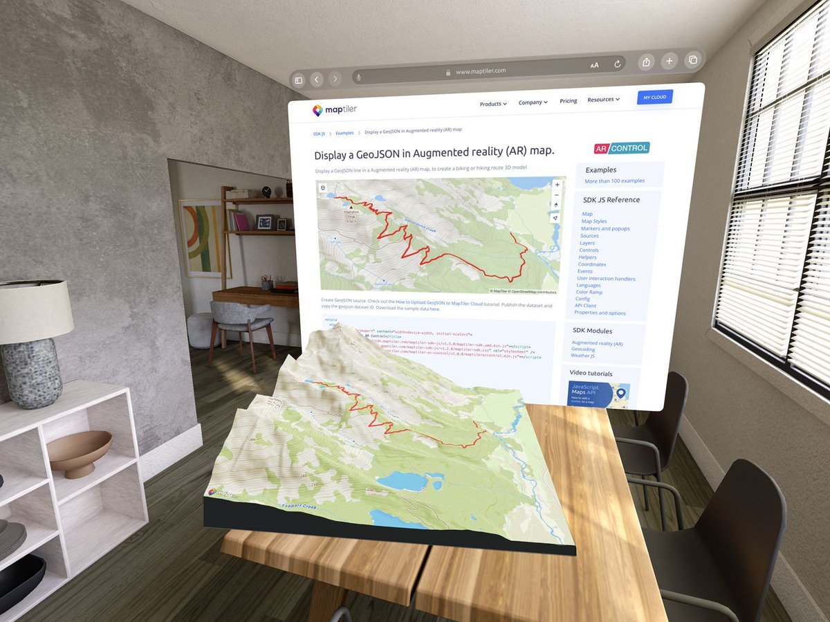
Emersing your users in a 3D world is easy with MapTiler. Add an Augmented Reality button to your map with two lines of code; no need to deploy anything to an app store! More details: bit.ly/3TNP89p

Emersing your users in a 3D world is easy with MapTiler. Add an Augmented Reality button to your #JavaScript map with two lines of code; no need to deploy anything to an app store! More details: bit.ly/3TNP89p #SpatialComputing #AR #MR #AugmentedReality #MixedReality
account_circle