GIS Resources (@gisresources) 's Twitter Profile
GIS Resources

@gisresources

GIS Resources is global platform for geospatial latest news & insights, developments, jobs, webinars, articles, data, conferences and tenders.

ID: 2409121111

linkhttp://www.gisresources.com calendar_today24-03-2014 14:43:58

5,5K Tweet

2,2K Takipçi

642 Takip Edilen

GIS Resources (@gisresources) 's Twitter Profile Photo

🚀 Genesys Maps secures ₹15 Cr to supercharge its #3Dmapping expansion around #Pune! This strategic boost strengthens India's #geospatial infrastructure and supports smarter #urbanplanning through advanced #digitalmapping. #GIS #GeoNews #UrbanInnovation bit.ly/3GwK6Lm

🚀 <a href="/Genesysmaps/">Genesys Maps</a> secures ₹15 Cr to supercharge its #3Dmapping expansion around #Pune! This strategic boost strengthens India's #geospatial infrastructure and supports smarter #urbanplanning through advanced #digitalmapping.  #GIS #GeoNews #UrbanInnovation  bit.ly/3GwK6Lm
GIS Resources (@gisresources) 's Twitter Profile Photo

🚀FARO Blink — the game-changing innovation in #3Ddatacapture. It's faster, smarter, and built for real-time spatial insights. Whether you're in AEC or facility management, Blink is here to simplify the complex. #LiDAR #DigitalTwin #RealityCapture bit.ly/3Ek0wq0

🚀FARO Blink — the game-changing innovation in #3Ddatacapture. It's faster, smarter, and built for real-time spatial insights. Whether you're in AEC or facility management, Blink is here to simplify the complex. #LiDAR  #DigitalTwin #RealityCapture bit.ly/3Ek0wq0
GIS Resources (@gisresources) 's Twitter Profile Photo

🌊 Sea levels are rising fast. Are you prepared to respond? Join the @NASAARSET Training on #SeaLevel Change Tools for Planning & Decision Support and learn how to turn #satellite data into smart decisions for a changing world. #ClimateChange 🔗bit.ly/44BRrmT

🌊 Sea levels are rising fast. Are you prepared to respond? Join the @NASAARSET Training on #SeaLevel Change Tools for Planning &amp; Decision Support and learn how to turn #satellite data into smart decisions for a changing world. #ClimateChange  🔗bit.ly/44BRrmT
GIS Resources (@gisresources) 's Twitter Profile Photo

🚀🌾ISRO Predicts 122.7 Million Tonnes of #Wheat for Rabi 2024-25! With a new semi-automated satellite framework, #ISRO is now tracking real-time #crop growth across #India—paving the way for data-driven #agriculture. 📡#SmartFarming #Geospatial #AgriTech bit.ly/3YfOlBa

🚀🌾ISRO Predicts 122.7 Million Tonnes of #Wheat for Rabi 2024-25! With a new semi-automated satellite framework, #ISRO is now tracking real-time #crop growth across #India—paving the way for data-driven #agriculture. 📡#SmartFarming #Geospatial #AgriTech bit.ly/3YfOlBa
GIS Resources (@gisresources) 's Twitter Profile Photo

#Japan is stepping up to support #Ukraine — not with weapons, but with powerful #geospatialintelligence. 🛰️🌍 From satellite imagery to #mapping systems, this tech aid is reshaping #defense strategy on the ground. #UkraineSupport #GIS #GeoTech bit.ly/42SwYaW

#Japan is stepping up to support #Ukraine — not with weapons, but with powerful #geospatialintelligence. 🛰️🌍 From satellite imagery to #mapping systems, this tech aid is reshaping #defense strategy on the ground.  #UkraineSupport #GIS #GeoTech bit.ly/42SwYaW
GIS Resources (@gisresources) 's Twitter Profile Photo

🚜💻 Digital tools are ploughing new paths in #Uzbekistan! Discover how #SouthKorea and Uzbekistan are joining forces to digitally transform #agriculture — boosting productivity, sustainability, and livelihoods. 🌾bit.ly/3GGxzFg #AgriTech #DigitalFarming #GIS #SmartAgri

🚜💻 Digital tools are ploughing new paths in #Uzbekistan! Discover how #SouthKorea  and Uzbekistan are joining forces to digitally transform #agriculture — boosting productivity, sustainability, and livelihoods. 🌾bit.ly/3GGxzFg #AgriTech #DigitalFarming #GIS #SmartAgri
GIS Resources (@gisresources) 's Twitter Profile Photo

🌧️ #SmartCities prioritize safety! Pimpri-Chinchwad deploys a cutting-edge #Flood Forecasting & #EarlyWarningSystem to protect lives and infrastructure. Discover how #geospatial tech is driving urban resilience:👉 bit.ly/43hA49X #FloodForecasting #DisasterPreparedness

🌧️ #SmartCities  prioritize safety! Pimpri-Chinchwad deploys a cutting-edge #Flood Forecasting &amp; #EarlyWarningSystem to protect lives and infrastructure. Discover how #geospatial tech is driving urban resilience:👉 bit.ly/43hA49X  #FloodForecasting #DisasterPreparedness
GIS Resources (@gisresources) 's Twitter Profile Photo

🚀Chinese scientists have developed a cutting-edge #remotesensing data completion model to bridge gaps in satellite imagery caused by cloud cover and sensor errors—a game-changer for #Earthobservation, #climate research, and #disasterresponse. bit.ly/4dj2UKC #GeoNews

🚀Chinese scientists have developed a cutting-edge #remotesensing data completion model to bridge gaps in satellite imagery caused by cloud cover and sensor errors—a game-changer for #Earthobservation, #climate research, and #disasterresponse. bit.ly/4dj2UKC #GeoNews
GIS Resources (@gisresources) 's Twitter Profile Photo

🚁✨Next-Level #DroneMapping is Here! pix4d and Vision Aerial join forces to deliver cutting-edge drone mapping solutions — built for precision, speed, and performance. 📍Perfect for professionals in #surveying, #construction, and #agriculture. 🔗 bit.ly/4kg8n7L #GIS

🚁✨Next-Level #DroneMapping is Here! <a href="/pix4d/">pix4d</a>  and <a href="/VisionAerial/">Vision Aerial</a>  join forces to deliver cutting-edge drone mapping solutions — built for precision, speed, and performance. 📍Perfect for professionals in #surveying, #construction, and #agriculture. 🔗 bit.ly/4kg8n7L  #GIS
GIS Resources (@gisresources) 's Twitter Profile Photo

#CambridgeIntelligence unveils #Mapweave — a cutting-edge platform that lets you interact with maps and networks in one seamless view. From #locationintelligence to real-time insights, this is #geospatial analysis like never before. bit.ly/3YNdIdQ #DataVisualization #GIS

#CambridgeIntelligence unveils #Mapweave — a cutting-edge platform that lets you interact with maps and networks in one seamless view. From #locationintelligence to real-time insights, this is #geospatial analysis like never before. bit.ly/3YNdIdQ #DataVisualization #GIS
iMerit Technology (@imeritdigital) 's Twitter Profile Photo

Mapping the future? Subhankar Naskar, Team Lead – Geospatial Tech at iMerit, shares his thoughts on what the GIS Resources stack will look like in the AI world. Read here: gisresources.com/beyond-the-map……… #GIS #AI #Geospatial #TechLead #iMerit #FutureOfMapping #ThoughtLeadership
Mapping the future? Subhankar Naskar, Team Lead – Geospatial Tech at iMerit, shares his thoughts on what the <a href="/GISResources/">GIS Resources</a> stack will look like in the AI world.

Read here: gisresources.com/beyond-the-map………  

#GIS #AI #Geospatial #TechLead #iMerit #FutureOfMapping #ThoughtLeadership
GIS Resources (@gisresources) 's Twitter Profile Photo

🚀 GIS isn’t just about maps anymore. From cloud-native platforms to real-time spatial AI, explore what the GIS stack in 2025 really looks like. 🌍💡🔗 Read more: bit.ly/3HbAbvf #GIS #GeoTech #SpatialAI #SmartMapping iMerit Technology #ArtificialIntelligence #geospatial
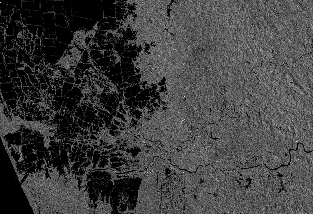
🚀 GIS isn’t just about maps anymore.
From cloud-native platforms to real-time spatial AI, explore what the GIS stack in 2025 really looks like.
🌍💡🔗 Read more: bit.ly/3HbAbvf
#GIS #GeoTech #SpatialAI #SmartMapping <a href="/iMeritDigital/">iMerit Technology</a> #ArtificialIntelligence #geospatial
GIS Resources (@gisresources) 's Twitter Profile Photo

#NAKSHA #CapacityBuilding Enters Phase 2. India advances towards smarter urban land surveys! The second phase of the NAKSHA program focuses on training officials with modern #surveying tools and digital techniques. bit.ly/4dNDVz5 #LandSurvey #GeospatialIndia #Urban #GIS

#NAKSHA #CapacityBuilding Enters Phase 2. India advances towards smarter urban land surveys! The second phase of the NAKSHA program focuses on training officials with modern #surveying tools and digital techniques. bit.ly/4dNDVz5
 #LandSurvey #GeospatialIndia #Urban #GIS
GIS Resources (@gisresources) 's Twitter Profile Photo

India Reinvents Addressing! Say hello to #DIGIPIN -a #geocoded digital PIN that promises accurate, location-based addressing nationwide. From deliveries to #disasterresponse, precision is the new norm.bit.ly/4jCnSFJ #Geospatial #GIS #LocationIntelligence #SmartAddressing

India Reinvents Addressing! Say hello to #DIGIPIN -a #geocoded digital PIN that promises accurate, location-based addressing nationwide. From deliveries to #disasterresponse, precision is the new norm.bit.ly/4jCnSFJ #Geospatial #GIS #LocationIntelligence #SmartAddressing
GIS Resources (@gisresources) 's Twitter Profile Photo

🌍🇮🇳 India Steps Up for #GlacierPreservation! At the high-level meet in #Dushanbe, #India reasserts its commitment to safeguard #glaciers — the lifelines of our rivers and climate systems — by integrating #geospatial technology and global cooperation. bit.ly/3FrKkDF

🌍🇮🇳 India Steps Up for #GlacierPreservation! At the high-level meet in #Dushanbe, #India reasserts its commitment to safeguard #glaciers — the lifelines of our rivers and climate systems — by integrating #geospatial technology and global cooperation.   bit.ly/3FrKkDF
GIS Resources (@gisresources) 's Twitter Profile Photo

🗺️ Lost in layers of #geospatial data? 📊 Learn how experts are turning chaos into clarity! From raw information to readable #maps — discover smart strategies to simplify and visualise #geospatialdata like never before. #GIS #DataVisualization bit.ly/4mTafVz

🗺️ Lost in layers of #geospatial data? 📊 Learn how experts are turning chaos into clarity! From raw information to readable #maps — discover smart strategies to simplify and visualise #geospatialdata like never before. #GIS #DataVisualization bit.ly/4mTafVz
GIS Resources (@gisresources) 's Twitter Profile Photo

🚀 #GPS III SV08 is in orbit! With its successful launch, the U.S. military takes a leap forward in #antijamming GPS technology. Enhanced signal security, better accuracy, and greater resilience now power critical missions. #Defense #Satellite #GNSS bit.ly/3HEoyx0

🚀 #GPS III SV08 is in orbit! With its successful launch, the U.S. military takes a leap forward in #antijamming GPS technology. Enhanced signal security, better accuracy, and greater resilience now power critical missions. #Defense #Satellite #GNSS bit.ly/3HEoyx0
GIS Resources (@gisresources) 's Twitter Profile Photo

New NASA ARSET Training Alert! ❄️ Dive into snow & ice data with NASA experts and learn how cryosphere data supports water resource management. Registration is now open! 🔗bit.ly/40crbMT #NASAARSET #Cryosphere #WaterResources #RemoteSensing #ClimateData #SnowAndIce #GIS

New <a href="/NASA/">NASA</a> ARSET Training Alert! ❄️ Dive into snow &amp; ice data with NASA experts and learn how cryosphere data supports water resource management. Registration is now open! 🔗bit.ly/40crbMT #NASAARSET #Cryosphere #WaterResources #RemoteSensing #ClimateData #SnowAndIce #GIS
GIS Resources (@gisresources) 's Twitter Profile Photo

As #GPSjamming threats rise, Leidos is pioneering #quantumtechnology navigation to ensure secure, jam-resistant #positioning. Discover how this breakthrough could reshape defense and critical infrastructure #navigation #GeospatialSecurity #NextGenNav bit.ly/4lbjbDU

As #GPSjamming threats rise, <a href="/LeidosInc/">Leidos</a> is pioneering #quantumtechnology navigation to ensure secure, jam-resistant #positioning. Discover how this breakthrough could reshape defense and critical infrastructure #navigation #GeospatialSecurity #NextGenNav bit.ly/4lbjbDU
GIS Resources (@gisresources) 's Twitter Profile Photo

🌞As #SolarCycle 2025 ramps up, #GNSS signals face growing disruption risks. Trimble's #IonoGuard technology offers real-time protection, ensuring positioning accuracy even during severe space weather.🔗bit.ly/3GBNogM #GNSS #IonoGuard Trimble Inc.

🌞As #SolarCycle 2025 ramps up, #GNSS signals face growing disruption risks. Trimble's #IonoGuard technology offers real-time protection, ensuring positioning accuracy even during severe space weather.🔗bit.ly/3GBNogM #GNSS #IonoGuard <a href="/TrimbleCorpNews/">Trimble Inc.</a>