NASA HAQAST (@nasa_haqast) 's Twitter Profile
NASA HAQAST

@nasa_haqast

NASA Health Air Quality Applied Sciences Team (HAQAST), connecting NASA science with health and air quality (2021-2025). Tweets not official NASA communication

ID: 1006223725

linkhttp://haqast.org calendar_today12-12-2012 12:17:17

2,2K Tweet

4,4K Takipçi

845 Takip Edilen

NASA HAQAST (@nasa_haqast) 's Twitter Profile Photo

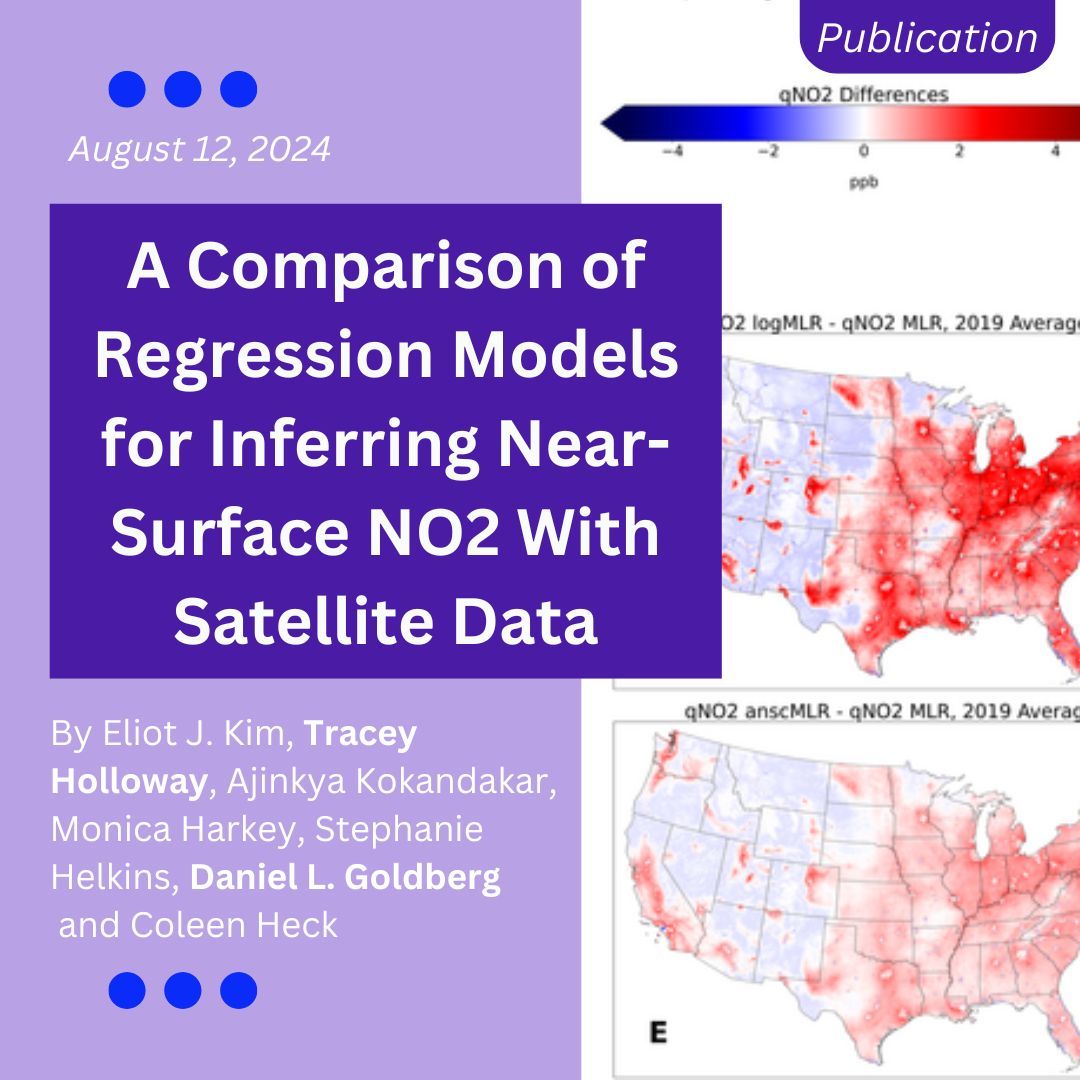
Learn how HAQAST researchers compared regression methods to estimate surface nitrogen dioxide concentrations at 0.01° resolution using satellite and land use data. buff.ly/4e00KPa

Learn how HAQAST researchers compared regression methods to estimate surface nitrogen dioxide concentrations at 0.01° resolution using satellite and land use data.
buff.ly/4e00KPa
NASA HAQAST (@nasa_haqast) 's Twitter Profile Photo

*New dataset!* This MERRA-2 bias-corrected global hourly surface total PM2.5 mass concentration dataset was led by HAQAST member Pawan Gupta. Pawan Gupta buff.ly/3XnKBO7
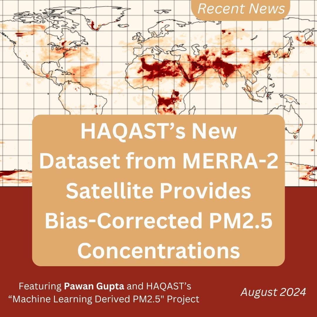
*New dataset!* 
This MERRA-2 bias-corrected global hourly surface total PM2.5 mass concentration dataset was led by HAQAST member Pawan Gupta.

<a href="/pawanpgupta/">Pawan Gupta</a>
buff.ly/3XnKBO7
Environmental Science & Technology Journals (@envscitech) 's Twitter Profile Photo

.Tianlang Zhao, Jingqiu Mao and team propose a piecewise function, η′obs, which provides an observation-based, quick and direct estimation of daily surface #PM2.5 during Alaskan #wildfires. #AerosolOpticalDepth UAF Geophysical Institute UA Fairbanks ACS ES&T Air: go.acs.org/aUQ

.<a href="/TianlangZhao/">Tianlang Zhao</a>, <a href="/JingqiuMao/">Jingqiu Mao</a> and team propose a piecewise function, η′obs, which provides an observation-based, quick and direct estimation of daily surface #PM2.5 during Alaskan #wildfires. #AerosolOpticalDepth <a href="/UAFGI/">UAF Geophysical Institute</a> <a href="/uafairbanks/">UA Fairbanks</a>

ACS ES&amp;T Air: go.acs.org/aUQ
NASA Earth (@nasaearth) 's Twitter Profile Photo

A NASA & Department of State partnership is making air quality forecasts available for the roughly 270 U.S. diplomatic posts globally. Using NASA satellite data & computer models, the ZephAir tool now provides three-day forecasts for hazardous PM2.5 air pollution. go.nasa.gov/4graW5j

A <a href="/NASA/">NASA</a> &amp; <a href="/StateDept/">Department of State</a> partnership is making air quality forecasts available for the roughly 270 U.S. diplomatic posts globally. Using NASA satellite data &amp; computer models, the ZephAir tool now provides three-day forecasts for hazardous PM2.5 air pollution.
go.nasa.gov/4graW5j
NASA HAQAST (@nasa_haqast) 's Twitter Profile Photo

Want to learn more about HAQAST? This week we'll share highlights from our Massachusetts meeting in June. Revisit the “Overview of NASA HAQAST” presentation for updates on HAQAST research and the NASA Earth Action Program. buff.ly/3X2fxBX

NASA HAQAST (@nasa_haqast) 's Twitter Profile Photo

Check out the “Facilitating the Use of Satellite Data by the Novice User” panel from the last HAQAST meeting to find resources and tutorials for air quality data tools. Thanks to the HAQAST PIs and Tiger Team Leads for sharing examples of these tools! buff.ly/3WZHR80

NASA HAQAST (@nasa_haqast) 's Twitter Profile Photo

The “Health and Air Quality Applications of TEMPO" panel at our last HAQAST meeting discussed how TEMPO scans reveal patterns of air pollution. Thanks to Doug Boyer, Chola Regmi, Arlene Fiore, Tracey Holloway, and Caroline Nowlan for sharing! buff.ly/3X4ufbA

NASA HAQAST (@nasa_haqast) 's Twitter Profile Photo

Watch the TROPOMI-OMI Meeting Crossover panel from the last HAQAST meeting to see how atmospheric monitoring satellites reveal air quality trends over the years. Thanks to all for sharing examples! buff.ly/4dZHYHs

NASA HAQAST (@nasa_haqast) 's Twitter Profile Photo

Revisit the “Adapting Climate Change: Heat, Air Pollution, and Human Health” panel from the last HAQAST meeting to hear how climate relates to health outcomes. Thank you to Leiqiu Hu, Chelsea Langer, Jingqiu Mao, and Sheri Schully for sharing examples! buff.ly/4dC2JcF

Environmental Science & Technology Journals (@envscitech) 's Twitter Profile Photo

A team led by Dan Goldberg, PhD of GW EOH Department GW University use a combination of aircraft #RemoteSensing, source apportionment models, and #RegressionModels to evaluate #NOxEmissions from individual source-sectors in Houston, TX. #OpenAccess in ACS ES&T Air: go.acs.org/bl9
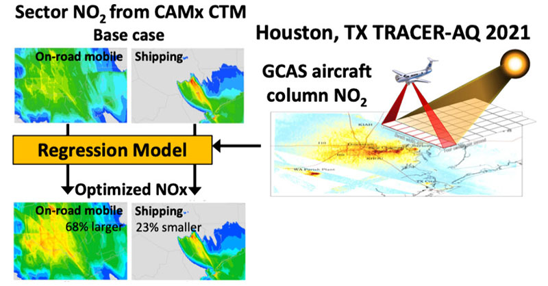
A team led by <a href="/DGoldbergAQ/">Dan Goldberg, PhD</a> of <a href="/GWDeptEOH/">GW EOH Department</a> <a href="/GWtweets/">GW University</a> use a combination of aircraft #RemoteSensing, source apportionment models, and #RegressionModels to evaluate #NOxEmissions from individual source-sectors in Houston, TX.

#OpenAccess in ACS ES&amp;T Air: go.acs.org/bl9
NASA HAQAST (@nasa_haqast) 's Twitter Profile Photo

HAQAST researchers developed a method to rapidly determine surface air quality during Alaska wildfires! Read more here: uaf.edu/news/method-ra… Jingqiu Mao Tianlang Zhao

NASA HAQAST (@nasa_haqast) 's Twitter Profile Photo

Learn more about using Satellite Data for air quality in the US from the American Lung Association! 🛰️🫁 Featuring analysis from HAQAST researchers including Tracey Holloway and NASA Earth data from Randall Martin!

American Lung Association (@lungassociation) 's Twitter Profile Photo

Our latest report, "Something in the Air: Bridging the Air Quality Data Gap with Satellite Technology," shows how satellite data can give communities across the US better insight into air quality. Learn more: Lung.org/something-in-t… NASA HAQAST NASA Earth

Our latest report, "Something in the Air: Bridging the Air Quality Data Gap with Satellite Technology," shows how satellite data can give communities across the US better insight into air quality. Learn more: Lung.org/something-in-t… <a href="/NASA_HAQAST/">NASA HAQAST</a> <a href="/NASAEarth/">NASA Earth</a>
NASA HAQAST (@nasa_haqast) 's Twitter Profile Photo

The American Lung Association released a new report with HAQAST analysis, "Something in the Air: Bridging the Air Quality Data Gap with Satellite Technology", tracking unhealthy levels of PM2.5 in areas without ground-based monitors. Read it here: lung.org/getmedia/66d68…

The American Lung Association released a new report with HAQAST analysis, "Something in the Air: Bridging the Air Quality Data Gap with Satellite Technology", tracking unhealthy levels of PM2.5 in areas without ground-based monitors.

Read it here:
lung.org/getmedia/66d68…
NASA Earth (@nasaearth) 's Twitter Profile Photo

Today is #OneHealthDay. Animal, human and environmental health are all interconnected. One of the ways NASA data helps promote healthier communities is through tracking air pollution. x.com/NASAEarth/stat…