Sterling Mann (@n0ssc) 's Twitter Profile
Sterling Mann

@n0ssc

St Louis ham radio dude. BSEE from @MissouriSandT. I make YouTube vids and @phasingline podcast sometimes. @JestenMartha favorite husband.

ID: 17746068

linkhttps://linktr.ee/kawfey calendar_today30-11-2008 01:23:46

7,7K Tweet

2,2K Followers

2,2K Following

karkopolo (@karkopolo) 's Twitter Profile Photo

I don't even know what to say about this. There's a tornado near St Louis, and all of these people are trapped because some assholes think it's fine to park in the middle of the highway.

I don't even know what to say about this. There's a tornado near St Louis, and all of these people are trapped because some assholes think it's fine to park in the middle of the highway.
WeatherNation (@weathernation) 's Twitter Profile Photo

WILD NEW VIDEO Dramatic video footage captured by Levi Campbell shows the powerful winds of the suspected tornado causing widespread damage to trees and sending debris flying down Pershing Avenue in St Louis. Authorities have been responding to multiple incidents across the

Europe Cognizant (@europecognizant) 's Twitter Profile Photo

VIDEO: Top floor of apartment building blown off just now in St Louis tornado. #mowx #stlwx #Weather #StormUpdate #LiveCam #WeatherUpdates #Tornado #Missouri #StLouis #Breaking #Latest #Alert #USA #USTornado #WeatherUpdates #Weather

Cameron Bopp (@cameronbopptv) 's Twitter Profile Photo

Roof ripped off home in north city. Just one example of the devastation caused by today’s storms in the St. Louis area. This is Adelaide near O’Fallon Park and W. Florissant. KMOV 📱| Lindell Briscoe

Brad Arnold (@bradarnoldwx) 's Twitter Profile Photo

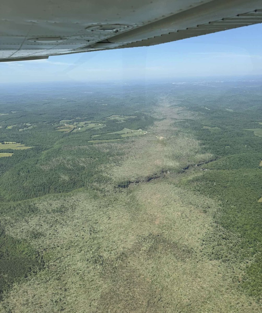
I don’t know if you can get an EF5 damage indicator from tree damage, but this is utterly insane. There isn’t one tree left standing that’s in the path.

I don’t know if you can get an EF5 damage indicator from tree damage, but this is utterly insane. There isn’t one tree left standing that’s in the path.
NWS St. Louis (@nwsstlouis) 's Twitter Profile Photo

Just a quick update on yesterday's tornado in St Louis. Survey teams are still out assessing the situation, but we have preliminarily determined that the tornado was at least EF-3 (140+ mph) and up to 1 mile wide at times.

NWS St. Louis (@nwsstlouis) 's Twitter Profile Photo

Initial survey of the May 16 St Louis tornado. The tornado likely continued much further into IL and survey teams will continue to assess over the coming days. Tornado began in Clayton at 2:41 pm, up to 1 mile wide, EF3 (150mph) intensity. The path is at least 8 miles so far...

Initial survey of the May 16 St Louis tornado. The tornado likely continued much further into IL and survey teams will continue to assess over the coming days.

Tornado began in Clayton at 2:41 pm, up to 1 mile wide, EF3 (150mph) intensity. The path is at least 8 miles so far...
Jeff Geerling (@geerlingguy) 's Twitter Profile Photo

This was my view of the storm that dropped an EF3 tornado in Richmond Heights on Friday, which devastated parts of St. Louis. Seemed like it came out of nowhere, there was a hail core but no major rotation until like 2 minutes before I took this photo. #stlwx #tornado #stlouis

This was my view of the storm that dropped an EF3 tornado in Richmond Heights on Friday, which devastated parts of St. Louis. Seemed like it came out of nowhere, there was a hail core but no major rotation until like 2 minutes before I took this photo. #stlwx #tornado #stlouis
Sterling Mann (@n0ssc) 's Twitter Profile Photo

Is this a train on fire, releasing radar countermeasures, or is it Doc Brown going back to the future? #stlwx #ilwx #radarscope NWS St. Louis

wxKobold (@wxkobold) 's Twitter Profile Photo

Odd stationary precipitation seen south of KAMA from 01z-04z 2025/09/09. Trying to figure out why it's there -- My first thought was terrain but there's no correlation there. Second was field moisture but not all of the updrafts are over fields. Any ideas?