Matthias Mohr (@matthmohr) 's Twitter Profile
Matthias Mohr

@matthmohr

Self-employed software engineer and consultant working on geospatial ☁ solutions. @open_EO, @STACspec and @CloudNativeGeo. Also fixing my parents' computers. 🤪

ID: 984058302760931328

linkhttps://mohr.ws calendar_today11-04-2018 13:19:17

957 Tweet

852 Followers

144 Following

Matthias Mohr (@matthmohr) 's Twitter Profile Photo

We had a great STAC Night in Berlin today with more than 50 participants. Thanks to Planet for hosting us. We had many great talks and good discussions. The slides can be found below. I hope we can more of these events in the future. 🙃 cloud.mohr.ws/index.php/s/8o…

Cloud-Native Geospatial Foundation (@cloudnativegeo) 's Twitter Profile Photo

We're partnering with Taylor Geospatial Engine to improve Ag field boundary data interoperability! Join our developer & researcher demos to learn more about the fiboa Command-line interface (CLI) and extension creation. Register today docs.google.com/forms/d/e/1FAI… cc Matthias Mohr

We're partnering with Taylor Geospatial Engine to improve Ag field boundary data interoperability! Join our developer & researcher demos to learn more about the fiboa Command-line interface (CLI) and extension creation. Register today docs.google.com/forms/d/e/1FAI…
cc <a href="/matthmohr/">Matthias Mohr</a>
Cloud-Native Geospatial Foundation (@cloudnativegeo) 's Twitter Profile Photo

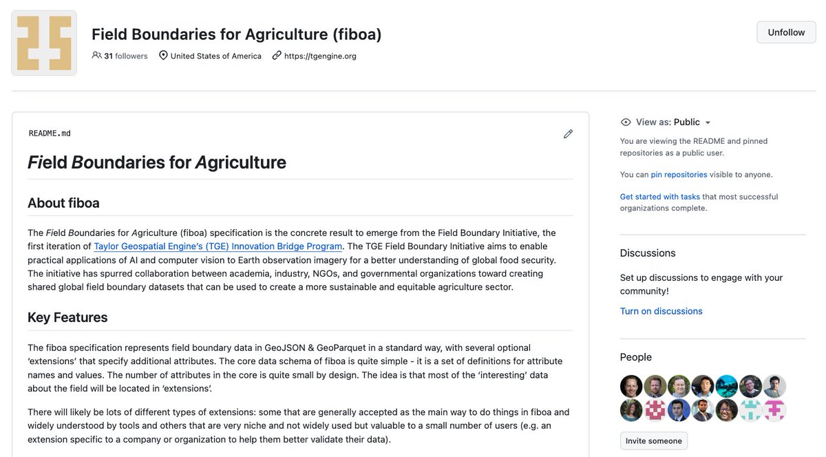
Announcing fiboa (Field Boundaries for Agriculture), a new project with Taylor Geospatial Engine focused on improving interoperability of farm field boundary data and other associated agriculture data cloudnativegeo.org/blog/2024/04/i…

Announcing fiboa (Field Boundaries for Agriculture), a new project with Taylor Geospatial Engine focused on improving interoperability of farm field boundary data and other associated agriculture data cloudnativegeo.org/blog/2024/04/i…
Matthias Mohr (@matthmohr) 's Twitter Profile Photo

Join me when I explain how to work with field boundary data on April 25. We'll show the fiboa CLI, how to load fiboa data in Python, and how to convert your own data to fiboa easily. On April 29 we'll explain how to use extensions to standardize field boundar data...

Cloud-Native Geospatial Foundation (@cloudnativegeo) 's Twitter Profile Photo

Learn about the #fiboa specification for standardized field boundary data in GeoJSON & GeoParquet! Chris Holmes breaks down the core spect and its extensions in this blog post cloudnativegeo.org/blog/2024/04/f…

Learn about the #fiboa specification for standardized field boundary data in <a href="/GeoJSON/">GeoJSON</a> &amp; <a href="/GeoParquet/">GeoParquet</a>! <a href="/opencholmes/">Chris Holmes</a> breaks down the core spect and its extensions in this blog post
cloudnativegeo.org/blog/2024/04/f…
Emiliano Kargieman (@earlkman) 's Twitter Profile Photo

Exciting news: Today we are releasing a large dataset of high-resolution satellite imagery for anybody to train AI foundation models: satellogic.com/2024/05/01/sat… 6 million snippets, opensourced under a creative commons CC-BY 4.0 license, allowing for commercial use with attribution

Element 84 (@element84) 's Twitter Profile Photo

We're still thinking about all of the amazing progress that was made during our recent community satellite tasking sprint at UP42 HQ. For a full recap, and to hear about what's next for #STAPI, check out the latest from 𝙼𝚊𝚝𝚝𝚑𝚎𝚠 𝙷𝚊𝚗𝚜𝚘𝚗: element84.com/software-engin…

Chris Holmes (@opencholmes) 's Twitter Profile Photo

I'm very pleased to share the full details on 'fiboa' - a data schema and ecosystem to improve the interoperability of agricultural field boundaries and related data. It's my favorite project to work on lately. Start with our intro post: cloudnativegeo.org/blog/2024/04/i… 🧵(1/n)

Chris Holmes (@opencholmes) 's Twitter Profile Photo

New blog post up! See cloudnativegeo.org/blog/2024/05/t… This one is a deep dive for a narrower audience, exploring many of the ideas we're experimenting with in fiboa (github.org/fiboa) - adapting the core + extensions with JSON Schema concept from STAC to general vector data.

Kyle Barron @kylebarron@mapstodon.space (@kylebarron2) 's Twitter Profile Photo

Really exciting to see GeoPandas 1.0 released! Among a bunch of new features I'm most excited about native GeoArrow interoperability! Remember to pass use_arrow=True in geopandas.read_file for best performance! github.com/geopandas/geop…

Cloud-Native Geospatial Foundation (@cloudnativegeo) 's Twitter Profile Photo

New blog post by Matthias Mohr explores a practical solution for analysis-ready data: A SpatioTemporal Asset Catalog-based approach for CEOS-ARD. Read it now and share your thoughts! cloudnativegeo.org/blog/2024/06/a…

New blog post by <a href="/matthmohr/">Matthias Mohr</a> explores a practical solution for analysis-ready data: A <a href="/STACspec/">SpatioTemporal Asset Catalog</a>-based approach for CEOS-ARD. Read it now and share your thoughts! cloudnativegeo.org/blog/2024/06/a…
Joe Morrison (@mouthofmorrison) 's Twitter Profile Photo

6. There’s no such thing as a useful one-size-fits-all standard for “analysis ready data,” because great analysis is opinionated and purpose-built. It starts with a foundational dataset (usually a terrain model) and distorts the rest of the data in a lossy way.

Matthias Mohr (@matthmohr) 's Twitter Profile Photo

📢 STAC 1.1.0-beta.1 is out with a new bands construct and more. We'd appreciate any feedback to make the final release rock-solid! Catch up with the following blog post. cloudnativegeo.org/blog/2024/08/s…

SpatioTemporal Asset Catalog (@stacspec) 's Twitter Profile Photo

Hey there, data world! 👋🏽 I'm STAC 1.1.0-beta.1, here to ease your #geospatial workflow. Packed with community-driven improvements, I'm the first major update in three years. Check out the new version and give feedback before a final 1.1.0 release cloudnativegeo.org/blog/2024/08/s…

Hey there, data world! 👋🏽 I'm STAC 1.1.0-beta.1, here to ease your #geospatial workflow. Packed with community-driven improvements, I'm the first major update in three years. Check out the new version and give feedback before a final 1.1.0 release cloudnativegeo.org/blog/2024/08/s…
Cloud-Native Geospatial Foundation (@cloudnativegeo) 's Twitter Profile Photo

#TutorialTuesday Maximize your field boundary data value by converting it to a standardized format. It'll simplify your data management & streamline workflows. Learn how to convert your field boundary datasets from their original form into #fiboa cloudnativegeo.org/blog/2024/08/c…

#TutorialTuesday Maximize your field boundary data value by converting it to a standardized format. It'll simplify your data management &amp; streamline workflows. Learn how to convert your field boundary datasets from their original form into #fiboa 
cloudnativegeo.org/blog/2024/08/c…