Maps Made Easy
@mapsmadeeasy
Cloud-based aerial imagery stitching and hosting service. Create up-to-date high resolution maps and 3D models from drone-taken images.
ID: 2835564560
http://www.mapsmadeeasy.com 29-09-2014 14:28:46
688 Tweet
1,1K Takipçi
3 Takip Edilen

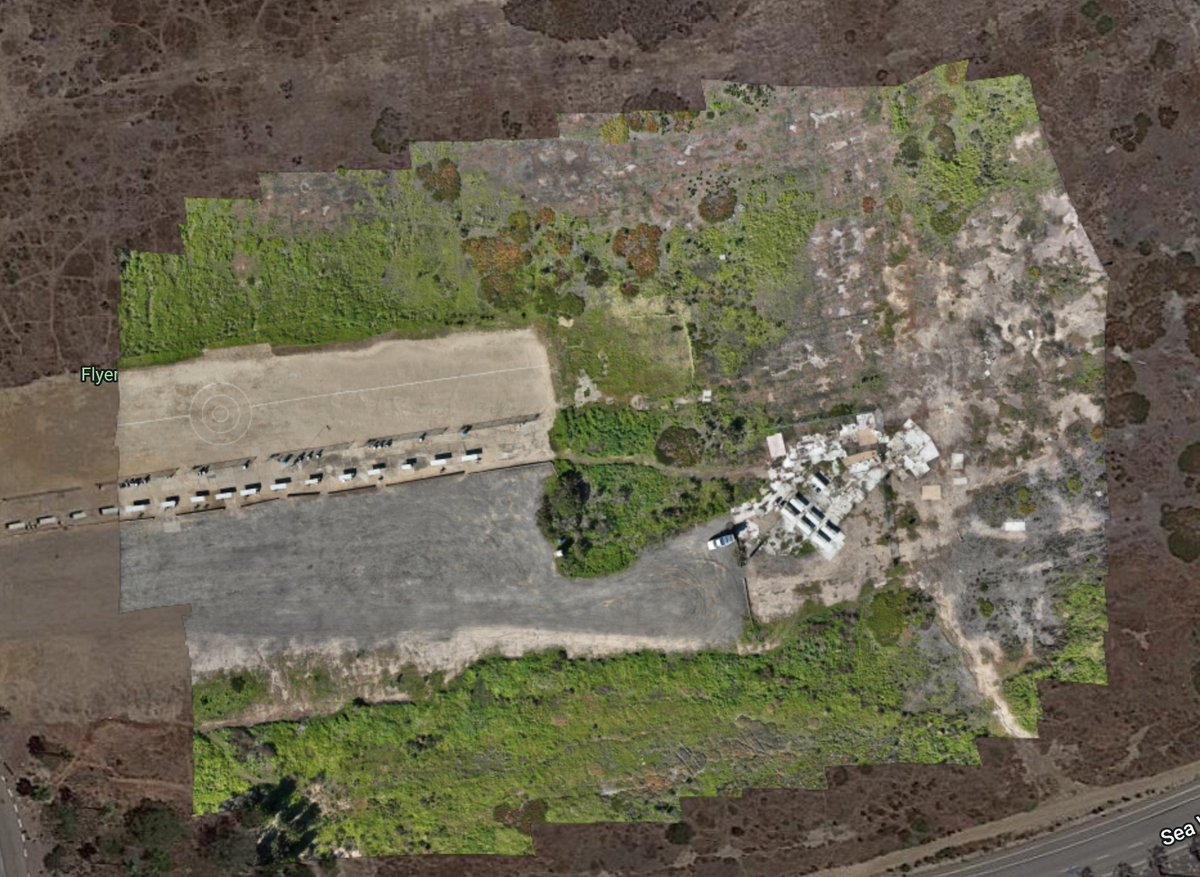
Map Pilot Pro support for the #Mavic 3 #Multispectral on the RC Pro Enterprise remote is up and running nicely. This was by far the easiest NDVI map we have ever created and we have been doing this a while. Nice work on the #M3M DJI Enterprise. View here: mapsmadeeasy.com/locations/publ…
