

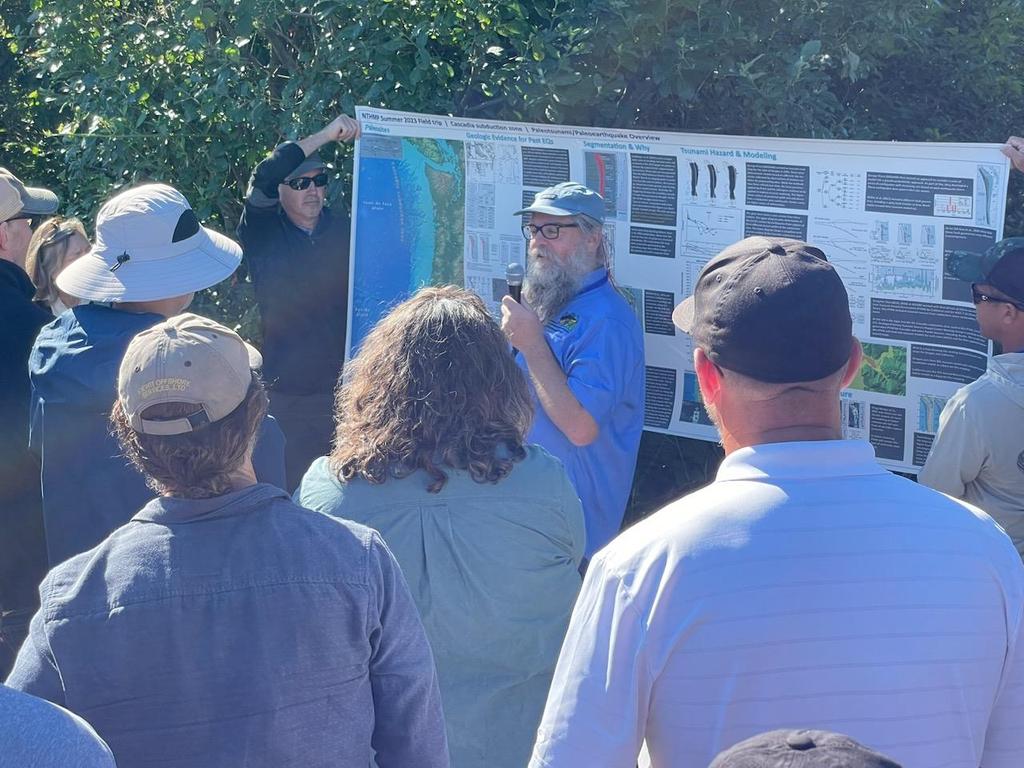
Thanks Ryan Aylward for this photo of me presenting overview of Cascadia subduction zone earthquakes and tsunami at the NOAA National Tsunami Hazard Mitigation Program field trip led by Jonathan Allan Laura Gabel Corina Allen
California Department of Conservation California Geological Survey #Dogami Washington State Dept. of Natural Resources

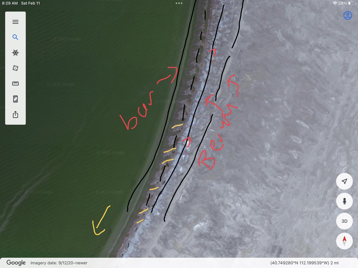
David Hill The nearshore characterized by a bar… extends to the north and south (better defined in the north). Strongest winds from W, NW, SW with decent fetch, result in storm berms. Fluctuating lake levels, help trap water. Scour channels form in wave events. Complicated by cementation.

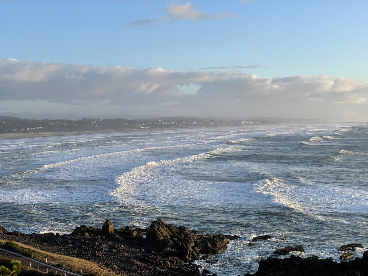
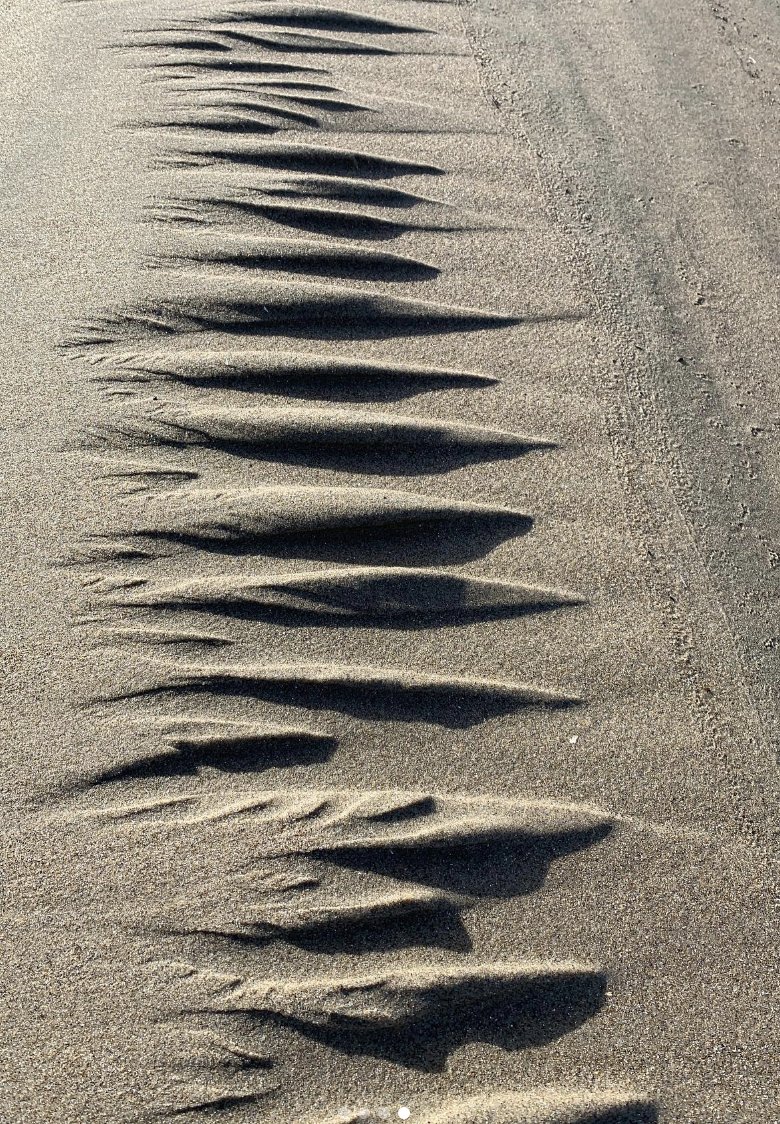
Jonathan Allan On a much smaller scale, love these drainage gullies at the OR coast today. 2-3', created as tide went out.


Rowen Villanueva Attipattu R Sriram 🍓𝕪𝕦𝕟𝕚𝕖𝕞𝕠𝕟 @streaming sporadically Bm ささみ🍏 KarinaNIsla🔞 (cmm open) Jonathan Allan Suhas Kini JAYSMOOTH Emmanuel Ogbadu 👑 @weaponx_x skrt Thay Güneş Batmazoğlu JÆLSºN Sean Thompson Cynic_L 🕷 NewJeansDefender 💸 Get airdrop to my post 🛡️

David Hill Interesting paper here: authors.library.caltech.edu/106279/3/2020J…
Doesn’t explain your features but discusses other factors.

Jason "Jay" R. Patton Dr. Jessie Vermeer Jonathan Allan that's so fascinating! Clearly I've never worked on subduction zone hazard, given I've never even considered this before. So sea walls and building zonation in CA account for an amount of subsidence prior to tsunami arrival?


David Hill I completely agree. How much does the lake level vary? Can it vary over short cycles … days? The features look more drainage related. Are the sediments silt/sand?

Dr. Jessie Vermeer Dr. Tamarah King Subsidence is included in probabilistic modeling for ca. or and wa have done deterministic modeling and I don’t think VLM was considered. Jonathan Allan may help us answer for OR.


Dr. Tamarah King Dr. Jessie Vermeer Jonathan Allan The ca coastal commission would probably never allow sea walls to be constructed. Yes, the building code tsunami design zone, only applied to essential and critical facilities, includes probabilistic subsidence. And the tsunami hazard areas, used for evacuation, do as well.

Prof. Diego Melgar 🌊 Sweet et al (2022) with NOAA NOS recently published updated SLR projections for the US (using 5 GCM scenarios) for all existing tide gauge stations. The data is stored in a CSV and could be scripted to generate the projections for any station.

Jonathan Allan I like all that, Jonathan. I tend to think of dynamical systems in terms of stability analysis and what sets the dominant mode / wavelength. I don't have any explanation for what sets such a regular wavelength (shown here) in scour-driven systems.
