Hannah Wright
@hf_wright
ID: 1617350402
24-07-2013 09:38:51
53 Tweet
58 Takipçi
152 Takip Edilen


#30DayMapChallenge Day 29 - 'Out of my comfort zone' 🏞️ | OS Technical Relationship Consultant Jess Baker maps these three hills in the Peak District National Park nicknamed ‘Dragon’s Back’ - in a 3D diorama view. It was created using OS Terrain 5 data.


The North York Moors National Park celebrated its 70th anniversary yesterday. Using Helen McKenzie’s tutorial on JoyPlots, I’ve created my own using Ordnance Survey data. Here’s how to do it: ordnancesurvey.co.uk/newsroom/blog/…


We're celebrating 70 years of North York Moors NP! 🥳 Can you guess where Hannah took inspiration for her 'remix' of the national park map for the final #30DayMapChallenge? OS Technical Relationship Consultant Hannah Wright maps #NorthYorkMoors70: ow.ly/pvmI50LR8tL


Fascinating maps created at our BCS Hackday today using British Antarctic Survey 🐧 datasets. Great collaborations and ideas from the attendees! Well done to all. #carto23 #GeoViz #mapping #datavisualisations #GIS #maps #tables #data


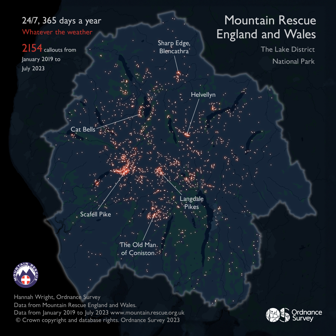
For Day 1 of the #30DayMapChallenge - we highlight the extraordinary work of the volunteer Mountain Rescue England and Wales teams who are on call 24/7, 365 days of the year. The data visualisation uses OS Open Zoomstack in night style and was created in QGIS, finished off in Adobe Illustrator.


