Hurricane Chaser Chase (@hurricane_chase) 's Twitter Profile
Hurricane Chaser Chase

@hurricane_chase

I'm a South Florida storm chaser who animates and provides updates on tropical cyclones worldwide! Been in the eyes of 4 hurricanes

ID: 1389671839803260936

linkhttps://beacons.ai/hurricanechaserchase calendar_today04-05-2021 20:03:02

5,5K Tweet

4,4K Followers

493 Following

severe-weather.EU (@severeweathereu) 's Twitter Profile Photo

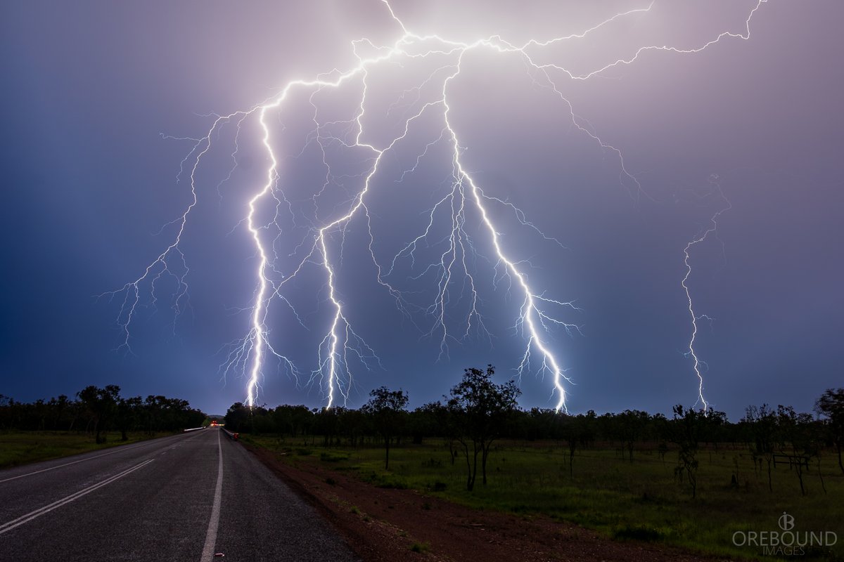
During a severe thunderstorm, lightning strikes street lighting in Thuwal, north of Jeddah, Saudi Arabia, on Friday evening, November 14, 2025. We thank Shuaaib Mohammed for the report!

Flynn Jansen (@flynnjansenwx) 's Twitter Profile Photo

Looking back at Hurricane Melissa, I’m actually so surprised no one got a picture from inside the eye. It certainly didn’t move over extremely populated areas but normally we still see at least a couple eye images from storms like this.

Looking back at Hurricane Melissa, I’m actually so surprised no one got a picture from inside the eye. It certainly didn’t move over extremely populated areas but normally we still see at least a couple eye images from storms like this.
Hurricane Chaser Chase (@hurricane_chase) 's Twitter Profile Photo

The sun has risen over Invest #97S which is continuing to gradually get better organized, with the system once again sustaining convection. It is quite an uncertain forecast as to where it will go, but models are coming into better agreement it should become a TC near #Australia

Andrew Markowitz (@amarkowitzwx) 's Twitter Profile Photo

There is a game to be played when it comes to nailing social media algorithms. It’s possible to do it without blatantly lying. Regardless of whatever content is contained in this video, you can immediately throw that and the user’s credibility in the trash.

IEMBot LWX (@iembot_lwx) 's Twitter Profile Photo

ANDREWS AFB,MD (ADW) ASOS reports gust of 333 knots (383.2 mph) from NW @ 1855Z -- KADW 161855Z 31021G333KT 10SM CLR 16/M10 A2947 RMK AO2A PK WND 30034/39 SLP985 T01551102 $

Michael Ferragamo (@ferragamowx) 's Twitter Profile Photo

Despite the Atlantic having the lowest number of storms since 2015, the 2025 season was an extremely strange one. What made this season highly unusual in my opinion wasn't only the long peak-season lull, but the three Category 5 hurricanes, the second-highest ever observed in a

Despite the Atlantic having the lowest number of storms since 2015, the 2025 season was an extremely strange one.

What made this season highly unusual in my opinion wasn't only the long peak-season lull, but the three Category 5 hurricanes, the second-highest ever observed in a
Hurricane Chaser Chase (@hurricane_chase) 's Twitter Profile Photo

Unofficial #HCCTWO (1) #97S likely to develop near #Australia, could become a #cyclone (2) A disturbance is expected to approach the #Philippines in 5-7 days (3) Something could threaten #Malaysia (4) Something could form in the BOB next week #wx #typhoon

Unofficial #HCCTWO
(1) #97S likely to develop near #Australia, could become a #cyclone
(2) A disturbance is expected to approach the #Philippines in 5-7 days
(3) Something could threaten #Malaysia 
(4) Something could form in the BOB next week

#wx #typhoon
Google (@google) 's Twitter Profile Photo

Today Google DeepMind and Google Research are introducing WeatherNext 2, our most advanced and efficient forecasting model. WeatherNext 2 can generate forecasts 8x faster and provide hundreds of possible weather outcomes for more accurate forecasts.

Matthew Cappucci (@matthewcappucci) 's Twitter Profile Photo

The value of humans as merely forecasters alone is waning FAST. In 3-5 years, AI models (and radar detection algorithms) produced by tech giants will beat virtually any human seeking to make a forecast or warning — especially if tech giants produce mesoscale CAMs. [1/2]

Josh Morgerman (@icyclone) 's Twitter Profile Photo

And here's my report on #Hurricane #MELISSA in #Jamaica. Please note this is purely meteorological & it's quite technical—so casual readers focused on the human impact won't find it interesting. Meteorologists & weather nerds, on the other hand, will find this rare look deep

And here's my report on #Hurricane #MELISSA in #Jamaica. Please note this is purely meteorological & it's quite technical—so casual readers focused on the human impact won't find it interesting. Meteorologists & weather nerds, on the other hand, will find this rare look deep
Hurricane Chaser Chase (@hurricane_chase) 's Twitter Profile Photo

Tropical Storm #97S has likely formed north of #Australia, but it is expected to eventually hook towards #NT as a potential #cyclone. Currently, Moderate Impacts are expected. Will have a stream up in a couple of hours answering your questions! #Fina #02U

Tropical Storm #97S has likely formed north of #Australia, but it is expected to eventually hook towards #NT as a potential #cyclone. Currently, Moderate Impacts are expected. Will have a stream up in a couple of hours answering your questions!

#Fina #02U
Hurricane Chaser Chase (@hurricane_chase) 's Twitter Profile Photo

Unofficial #HCCTWO (1) #97S now a TC, expected to threaten #Australia as a #cyclone (2) Something could near the #Philippines within a week (3,4) 2 other disturbances could form on either side of #Malaysia #wx #typhoon

Unofficial #HCCTWO
(1) #97S now a TC, expected to threaten #Australia as a #cyclone 
(2) Something could near the #Philippines within a week
(3,4) 2 other disturbances could form on either side of #Malaysia 

#wx #typhoon