RS4GeoHZ
@gfzremote
Remote Sensing for GeoHazards (RS4GeoHZ) group at GFZ Potsdam, Germany, focuses on understanding the geo-hazards in light of the current Climate Crisis.
ID: 1601404607175004162
10-12-2022 02:33:22
148 Tweet
392 Takipçi
18 Takip Edilen


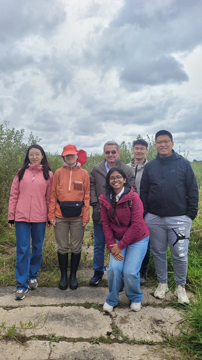
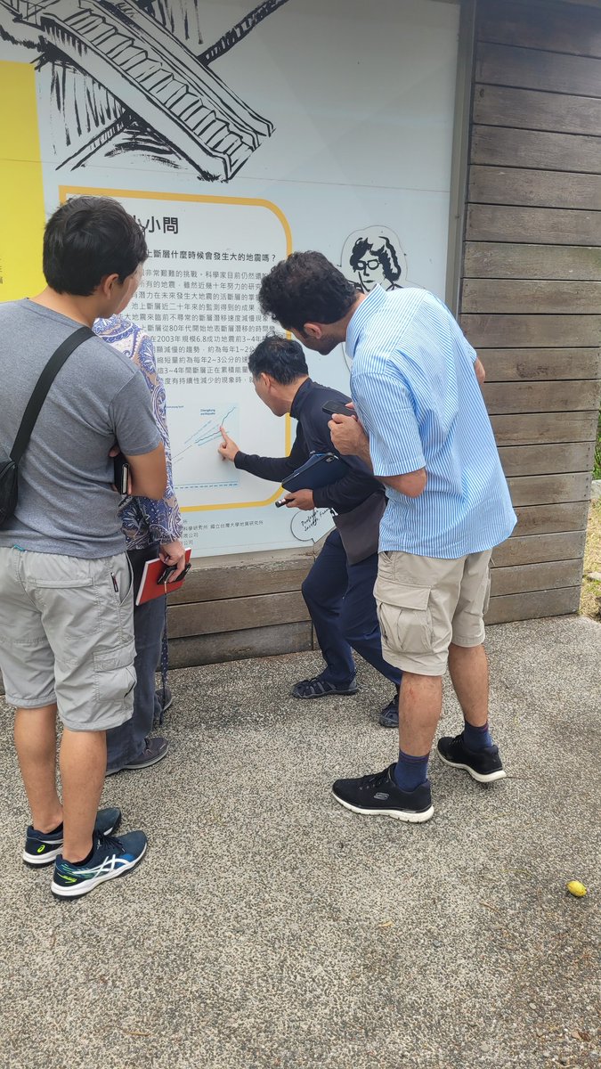
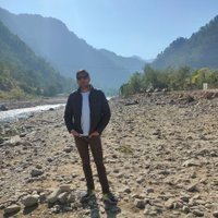
Visting the creeping section of the #Chihshang fault in 🇹🇼 . Mahmud Haghshenas is doing his best to stop the fault slip between the Philippine Sea Plate & the Eurasian Plate😉




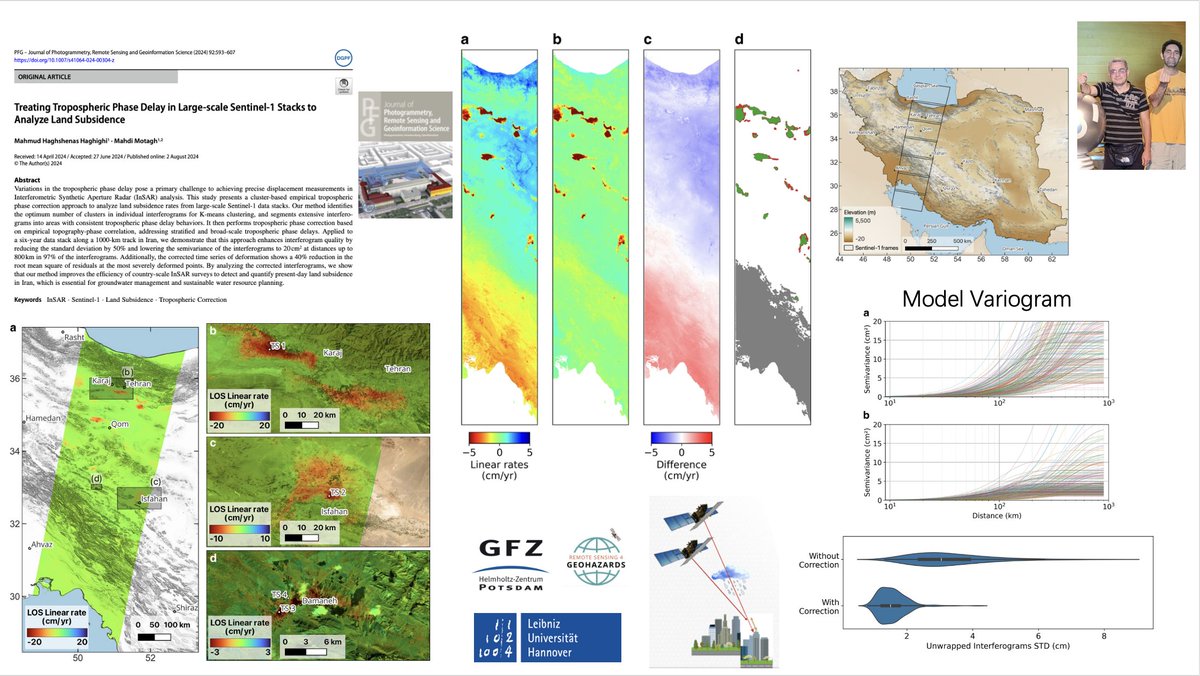
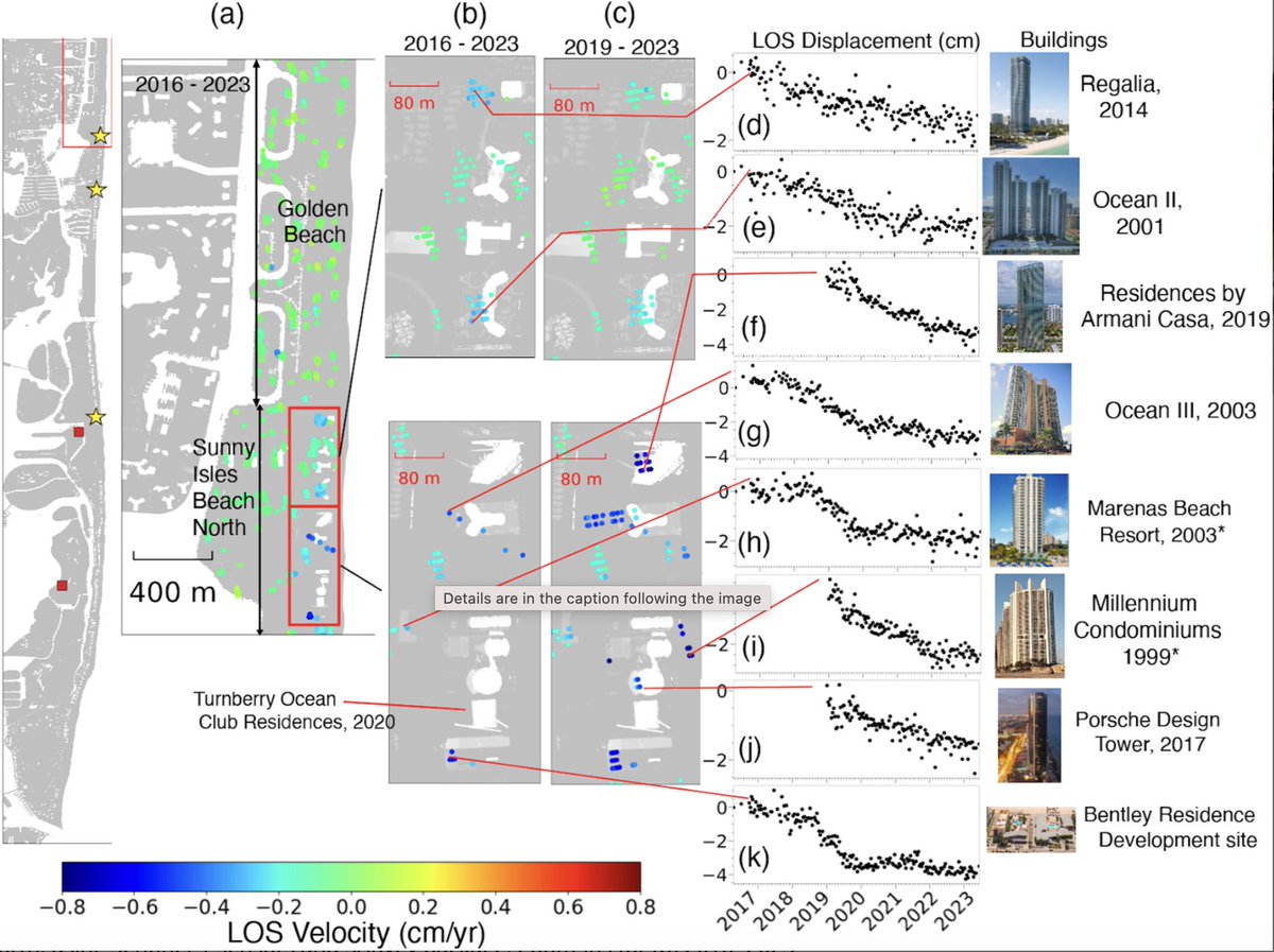
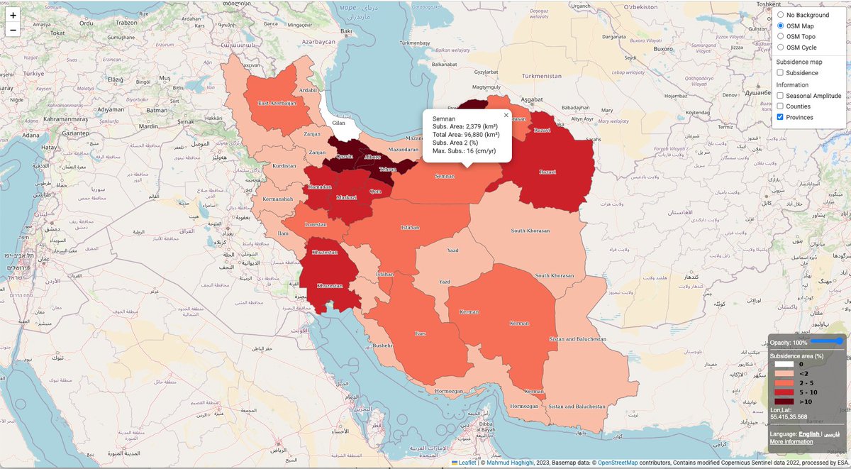
Our recent work for #land #subsidence in #Iran that was published earlier this year by Mahmud Haghshenas & Mahdi Motagh in Science Advances was featured in The Guardian UNESCO Land Subsidence International Initiative GFZ Link to Guardian--> theguardian.com/science/2024/s…

An Interactive map of #land #subsidence in #Iran, developed in a collaboration between Leibniz Uni Hannover & GFZ subsmap.github.io/iran/ Link to paper-> science.org/doi/10.1126/sc… link to Zenodo -> zenodo.org/records/108155… UNESCO Land Subsidence International Initiative United Nations University-FLORES Mahdi Motagh Mahmud Haghshenas


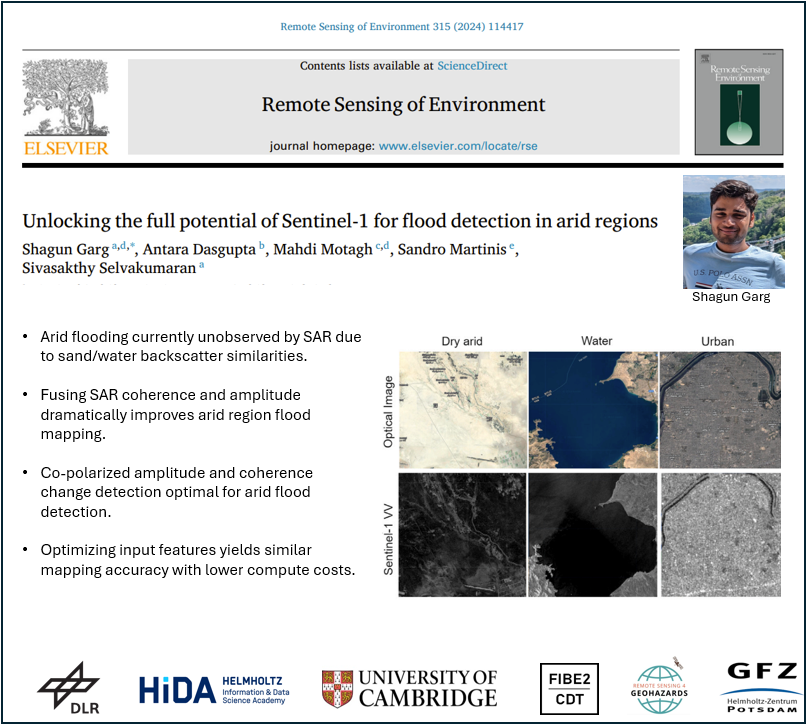
New paper alert! In this new study, led by Shagun Garg-PhD student from Cambridge University & #HIDA scholar at GFZ, we have shown how potentials of #SAR data can be exploited for accurate flood mapping in arid regions link--> sciencedirect.com/science/articl…

In this forum article led by Mahdi Motagh, a team of scientists discusses the critical role of a data-driven #nexus approach in understanding hazards related to #landslides & #land_subsidence Link to paper-> link.springer.com/article/10.100… UNESCO Land Subsidence International Initiative Shagun Garg Francesca Cigna


Analysing complex #SAR #echoes associated with #powerlines is important for inspection management applications. In this paper, we proposed a novel tracing method to analyze #multireflection effects of such objects in #TSX data. Wuhan University link to paper -> ieeexplore.ieee.org/document/10662…


