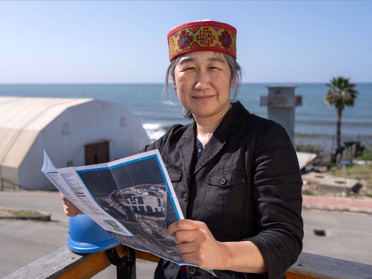
carmelle terborgh(@geotellus) 's Twitter Profileg
carmelle terborgh

@geotellus

Mom to 2 boys | Geographer | Lead Account Manager, Global Organizations at Esri | Essex Junction Lions Club | views are my own

ID:211887626

calendar_today04-11-2010 15:14:50

9,0K Tweets

838 Followers

800 Following

UN Mappers(@UN_Mappers) 's Twitter Profile Photo

Conference

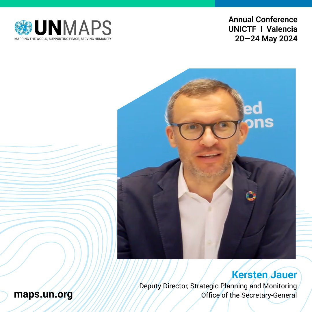
Mr. Kersten Jauer presented the UN 2.0 initiative and the Quintet of Change strategy. He highlighted the critical role of geospatial information in driving the UN's digital transformation, positioning at the cutting edge of geospatial technology.

#UNMapsConference Mr. Kersten Jauer presented the UN 2.0 initiative and the Quintet of Change strategy. He highlighted the critical role of geospatial information in driving the UN's digital transformation, positioning #UNMaps at the cutting edge of geospatial technology.
account_circle
michael GOULD (@mgould.bsky.social)(@0mgould) 's Twitter Profile Photo

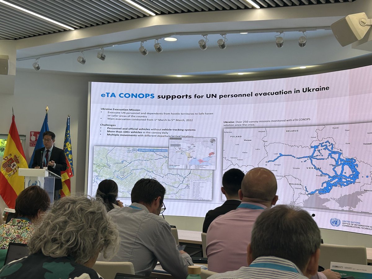
Back at the UN Maps annual meeting. Real-time convoy monitoring with a nicely integrated info system. Later, geoAI, data sharing,…

Back at the UN Maps annual meeting. Real-time convoy monitoring with a nicely integrated info system. Later, geoAI, data sharing,…
account_circle
UN Mappers(@UN_Mappers) 's Twitter Profile Photo

Conference
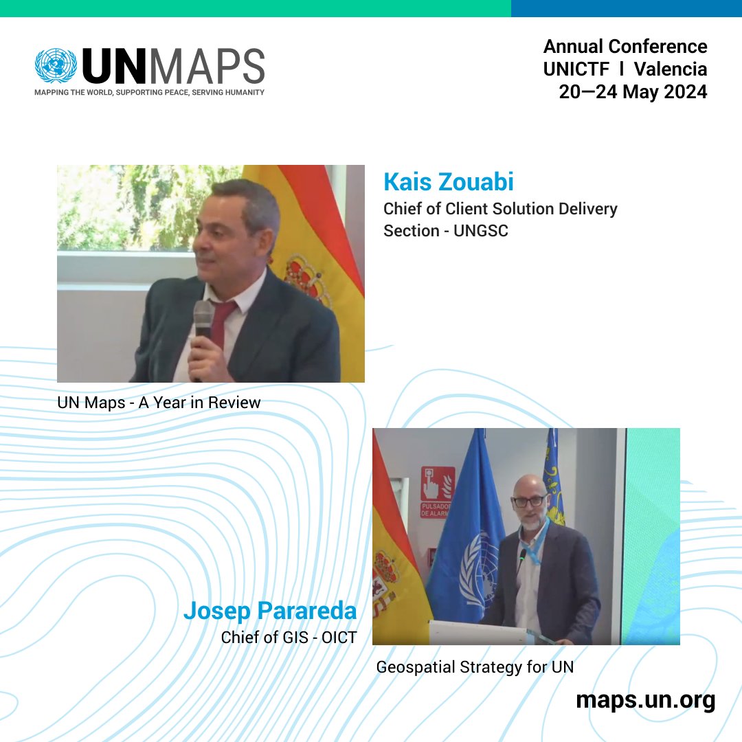
Mr. Kais Zouabi showcased 's CSDS services, including new features like Mobile, Data Hub, and Power BI integration.
Mr. Josep Parareda outlined UNGIS's geospatial strategy, aligned with SG Data Strategy.

#UNMapsConference Mr. Kais Zouabi showcased #UNGSC's CSDS services, including new #UNMaps features like Mobile, Data Hub, and Power BI integration. Mr. Josep Parareda outlined UNGIS's geospatial strategy, aligned with SG Data Strategy.
account_circle
UN Mappers(@UN_Mappers) 's Twitter Profile Photo

MapsConference
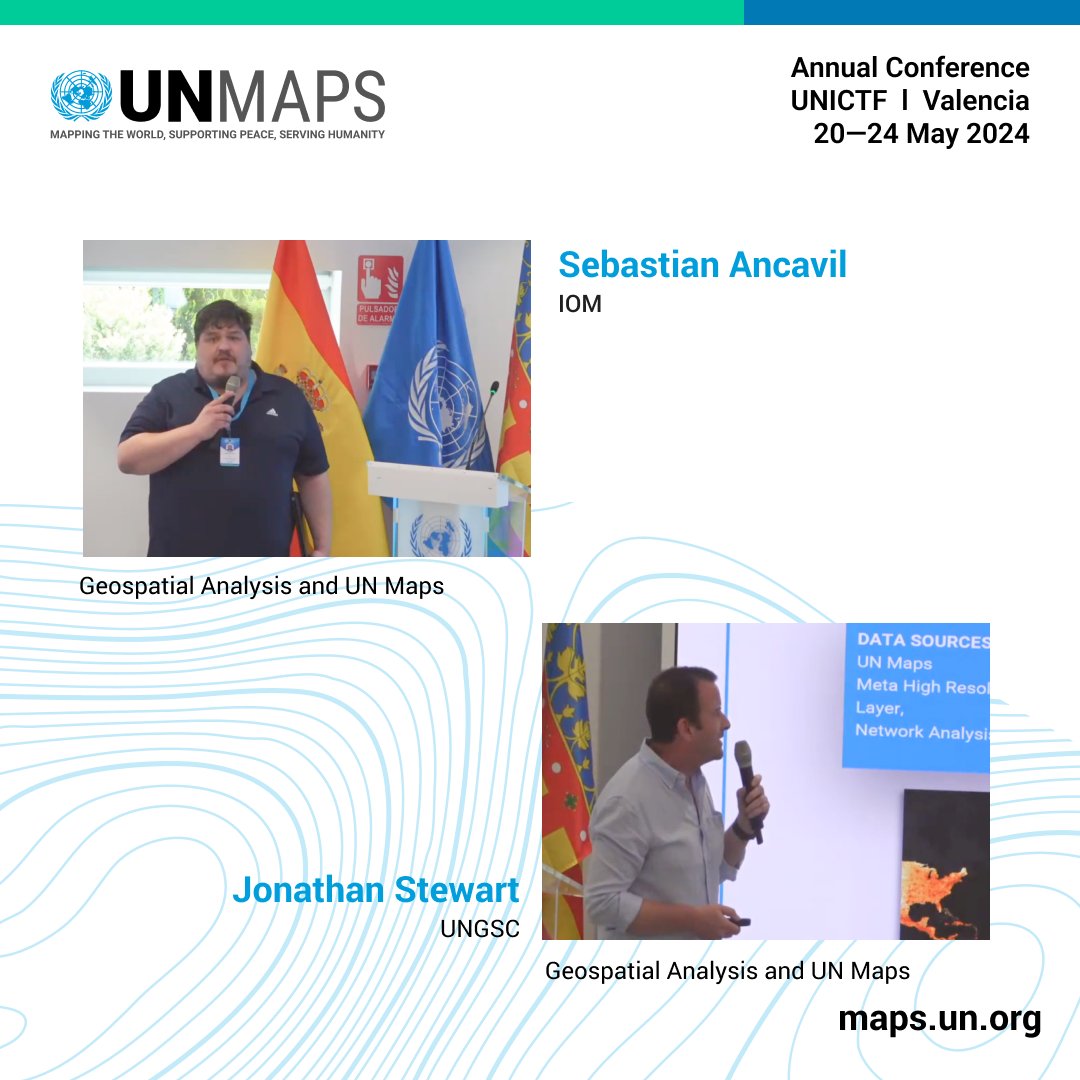
Mr. Sebastian Ancavil shared about use cases of in IOM's mapping of IDP camps and collaborations with organizations.

Mr. Jonathan Stewart discussed analysis supporting missions, such as flood analysis and population estimation.

#UNMapsConference Mr. Sebastian Ancavil shared about use cases of #opendata in IOM's mapping of IDP camps and collaborations with organizations. Mr. Jonathan Stewart discussed #geospatial analysis supporting #UN missions, such as flood analysis and population estimation.
account_circle
UN Mappers(@UN_Mappers) 's Twitter Profile Photo

MapsConference
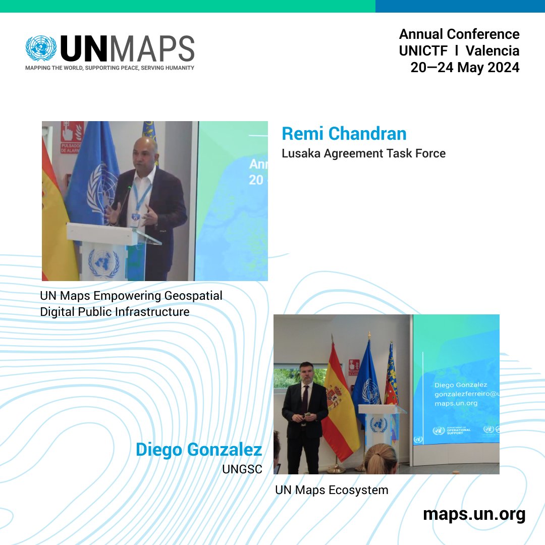
Mr. Remi Chandran outlined the critical role of Digital Public Infrastructures for the and SDGs, discussing the Lusaka Agreement's collaboration on wildlife monitoring.

Mr. Diego Gonzalez detailed UN Maps' hybrid tech approach, and ecosystem structure.

#UNMapsConference Mr. Remi Chandran outlined the critical role of Digital Public Infrastructures for the #UN and SDGs, discussing the Lusaka Agreement's collaboration on wildlife monitoring. Mr. Diego Gonzalez detailed UN Maps' hybrid tech approach, and ecosystem structure.
account_circle
UN Mappers(@UN_Mappers) 's Twitter Profile Photo


During her keynote message, Mrs. Beaullah Chirume highlighted Zimbabwe's dedication to IT technologies for SDGs, addressing challenges in human capacity, infrastructure, cybersecurity, and technology development, and the pursuit of strategic partnerships.
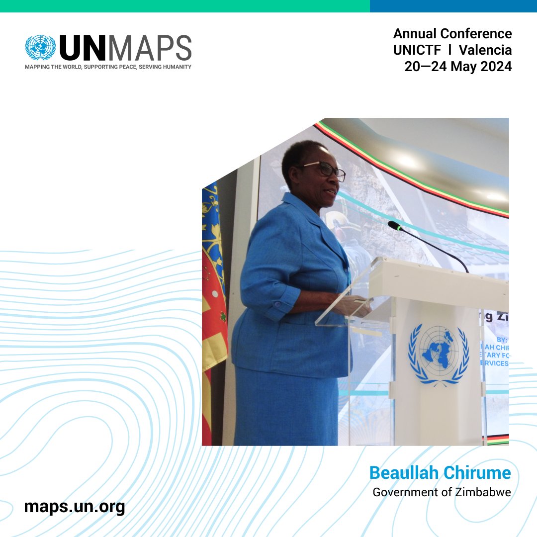
#UNMapsConference During her keynote message, Mrs. Beaullah Chirume highlighted Zimbabwe's dedication to IT technologies for SDGs, addressing challenges in human capacity, infrastructure, cybersecurity, and technology development, and the pursuit of strategic partnerships.
account_circle
UN Mappers(@UN_Mappers) 's Twitter Profile Photo


Mr. Guillaume Criloux outlined UN Maps role in enhancing Unite Aware, crucial for peacekeeping missions' digital transformation.

Mr. Christian Larsson discussed UNICEF's digital transformation, outlining the role of partnerships to ensure no one is left behind.
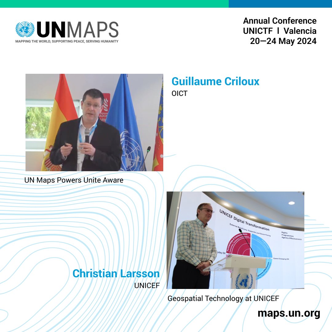
#UNMapsConference Mr. Guillaume Criloux outlined UN Maps role in enhancing Unite Aware, crucial for peacekeeping missions' digital transformation. Mr. Christian Larsson discussed UNICEF's digital transformation, outlining the role of partnerships to ensure no one is left behind.
account_circle
UN Mappers(@UN_Mappers) 's Twitter Profile Photo

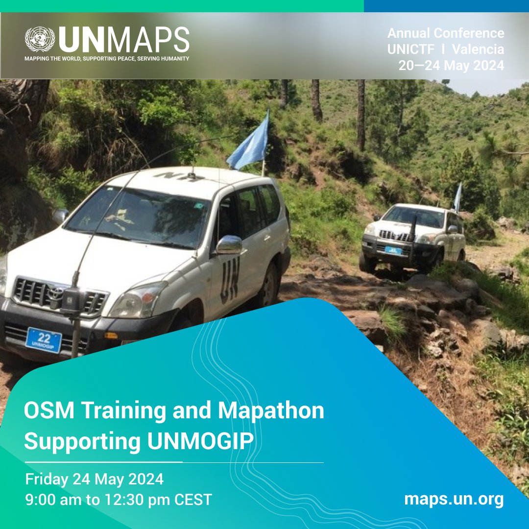
Join us for a special event at the 3rd Annual 🚀
Participate in our training&mapathon to support the by mapping in the Jammu and Kashmir region.
📅 Friday, May 24
⏰ 9:00am - 12:30pm CEST
Register by May 23, 2024 👉 tinyurl.com/Map0524
📸UNMOGIP

Join us for a special event at the 3rd Annual #UNMapsConference 🚀 Participate in our training&mapathon to support the #UNMOGIP by mapping in the Jammu and Kashmir region. 📅 Friday, May 24 ⏰ 9:00am - 12:30pm CEST Register by May 23, 2024 👉 tinyurl.com/Map0524 📸UNMOGIP
account_circle
UN Mappers(@UN_Mappers) 's Twitter Profile Photo

Official opening of the 3rd annual : “Enabling the UN 2.0” at the in Valencia (Spain), following yesterday’s successful technical workshops🙌

Official opening of the 3rd annual #UNMapsConference: “Enabling the UN 2.0” at the #UNICTF in Valencia (Spain), following yesterday’s successful technical workshops🙌
account_circle
UN Mappers(@UN_Mappers) 's Twitter Profile Photo


Mrs. Catherine Cheetham presented UNGEGN's efforts to standardize geographical names and integration with the One UN Geospatial Situation Room.

Mr. Coen Bussink and Mrs. Luisa Sterponi discussed UNODC's work, illustrating use of open-source GIS for analysis.
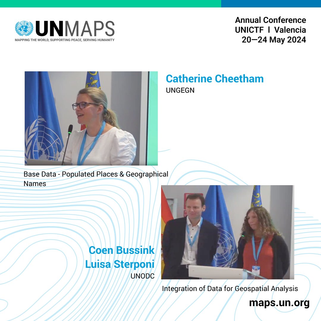
#UNMapsConference Mrs. Catherine Cheetham presented UNGEGN's efforts to standardize geographical names and integration with the One UN Geospatial Situation Room. Mr. Coen Bussink and Mrs. Luisa Sterponi discussed UNODC's work, illustrating use of open-source GIS for analysis.
account_circle
UN Mappers(@UN_Mappers) 's Twitter Profile Photo


Moderated by Mrs. Ayako Kagawa, panelists Mrs. Janet O'Callaghan from OCHA, Mr. Josep Parareda from OICT, and Mr. Karl Morteo from FAO discussed base data sharing mechanisms.
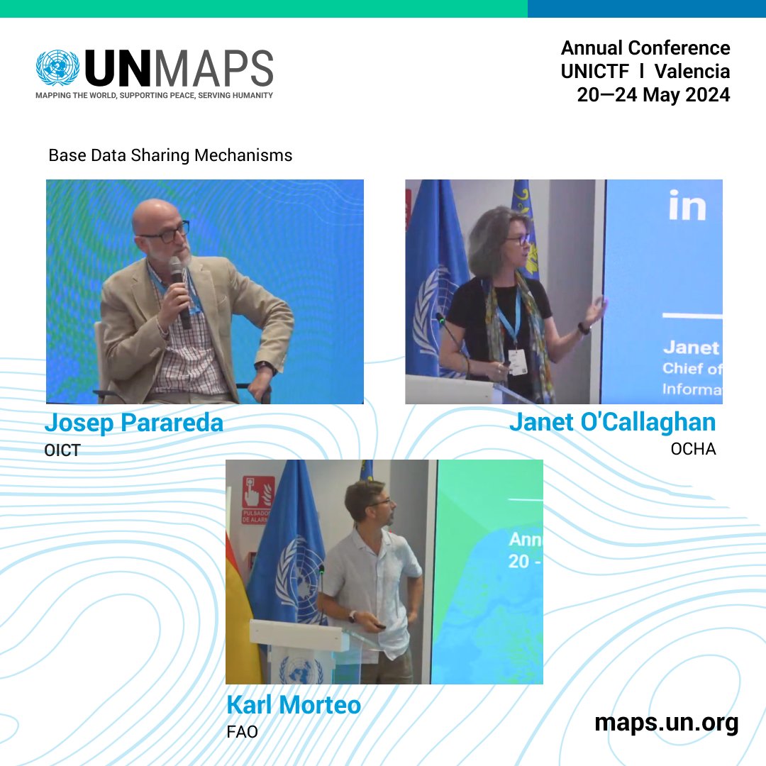
#UNMapsConference Moderated by Mrs. Ayako Kagawa, panelists Mrs. Janet O'Callaghan from OCHA, Mr. Josep Parareda from OICT, and Mr. Karl Morteo from FAO discussed base data sharing mechanisms.
account_circle
UN Mappers(@UN_Mappers) 's Twitter Profile Photo

Conference

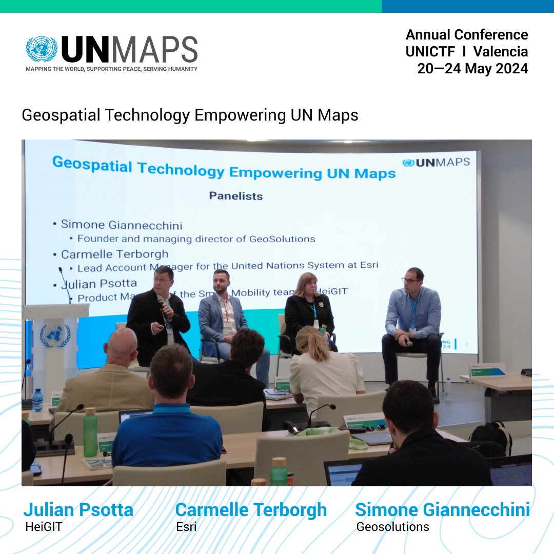
Moderated by Mr. Guillaume Criloux, panelists Mr. Julian Psotta from HeiGIT, Mr. Simone Giannecchini from GeoSolutions, and Mrs. Carmelle Terborgh from Esri discussed technology empowering .

#UNMapsConference Moderated by Mr. Guillaume Criloux, panelists Mr. Julian Psotta from HeiGIT, Mr. Simone Giannecchini from GeoSolutions, and Mrs. Carmelle Terborgh from Esri discussed #geospatial technology empowering #UNMaps.
account_circle
UN Peacekeeping(@UNPeacekeeping) 's Twitter Profile Photo

Peacekeeper of the Day: 'Peace is not a guarantee but also not a fantasy - every one of us deserves peace.'

As UNIFIL's Chief of the Geographic Information System Team, Ayako Kagawa 🇯🇵 uses geo-enabled solutions to support the Mission's operations. Japanese Mission UN

Peacekeeper of the Day: 'Peace is not a guarantee but also not a fantasy - every one of us deserves peace.' As @UNIFIL_'s Chief of the Geographic Information System Team, Ayako Kagawa 🇯🇵 uses geo-enabled solutions to support the Mission's operations. #PKDay @JapanMissionUN
account_circle
Esri Nonprofit and NGO(@Esri_Nonprofit) 's Twitter Profile Photo

Burkina Faso integrated a series of new indicators into its SDG Data Hub. These new indicators correspond to Sustainable Development Goals 1: No Poverty, 2: Zero Hunger, and 6: Clean Water & Sanitation. Learn more at: esri.social/Mr4a50QGiHA

account_circle
Alex Abrami(@aabrami5) 's Twitter Profile Photo

Vote now for Vermont Varsity Insider Athletes of the Week: Ballots for Feb. 5-11 burlingtonfreepress.com/story/sports/h… via BurlingtonFreePress
account_circle
SDGAILab(@sdgailab) 's Twitter Profile Photo

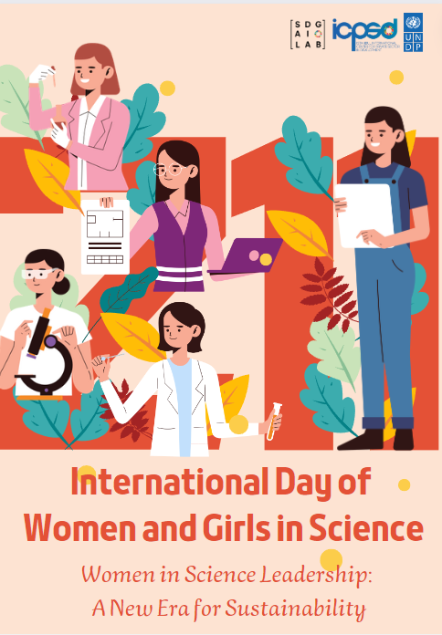
🌟👩‍🔬 Join us in celebrating International Day of Women and Girls in Science!
This year, we're championing Women in Science Leadership💪: A New Era for Sustainability. Let's make science accessible for all! 🚀🌍

🌟👩‍🔬 Join us in celebrating International Day of Women and Girls in Science! This year, we're championing Women in Science Leadership💪: A New Era for Sustainability. Let's make science accessible for all! 🚀🌍 #WomenInSTEM #ScienceForAll
account_circle
Blue Raster(@blueraster) 's Twitter Profile Photo

We’re here! Visit us at Esri FedGIS for sweet treats and enter our giveaway for a Stanley. Our team will be on the Expo floor after the Plenary and presenting in multiple sessions on Tuesday and Wednesday. Comment if you’ll be there!

2024

We’re here! Visit us at @Esri FedGIS for sweet treats and enter our giveaway for a Stanley. Our team will be on the Expo floor after the Plenary and presenting in multiple sessions on Tuesday and Wednesday. Comment if you’ll be there! #fedgis #fedgis2024
account_circle
ArcGIS StoryMaps(@ArcGISStoryMaps) 's Twitter Profile Photo

Welcome to , storytellers. Visit our ArcGIS workshops for what’s new + coming this year.

Then stop by the expo hall and say hello. We want your feedback and wish list. 💡 Here’s where to find us: esri.social/Tu2t50QAv4U
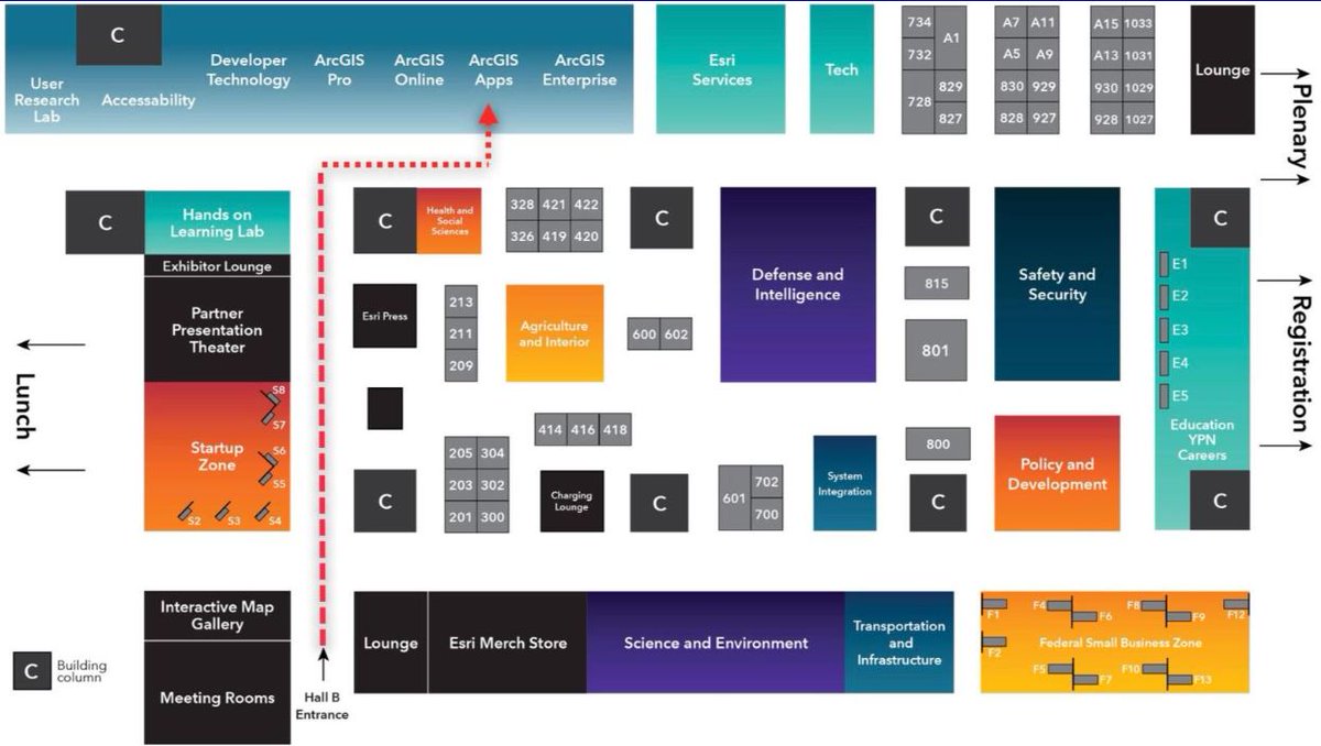
Welcome to #FedGIS2024, storytellers. Visit our ArcGIS #StoryMaps workshops for what’s new + coming this year. Then stop by the expo hall and say hello. We want your feedback and wish list. 💡 Here’s where to find us: esri.social/Tu2t50QAv4U
account_circle