Eric Burke WAFF 48 (@weathermanburke) 's Twitter Profile
Eric Burke WAFF 48

@weathermanburke

Meteorologist at @WAFF48 in Huntsville, Alabama (AMS CBM) Northern Illinois Alum. Always playing golf. Hockey Goalie. All opinions are my own.

ID: 468035727

linkhttp://www.facebook.com/EricBurkeWAFF48 calendar_today19-01-2012 03:23:13

5,5K Tweet

3,3K Followers

887 Following

Eric Burke WAFF 48 (@weathermanburke) 's Twitter Profile Photo

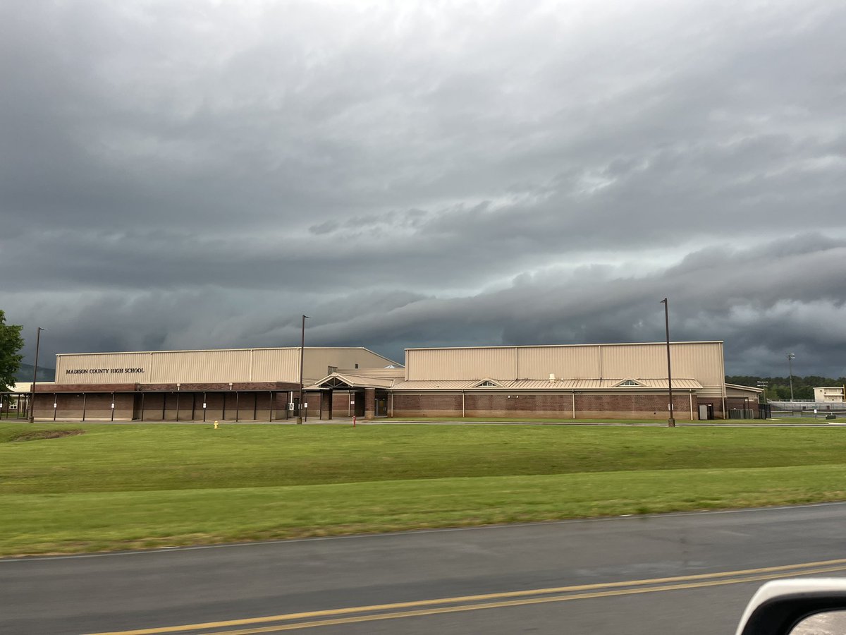
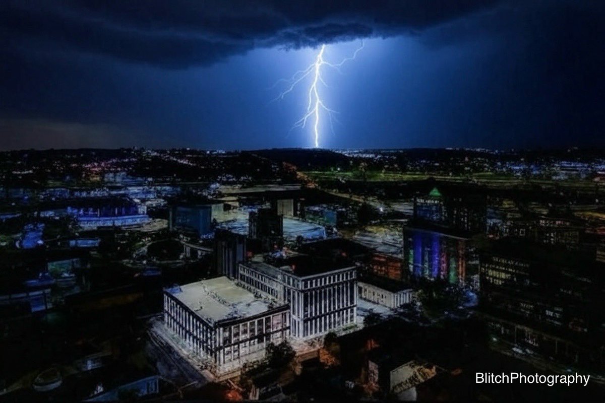
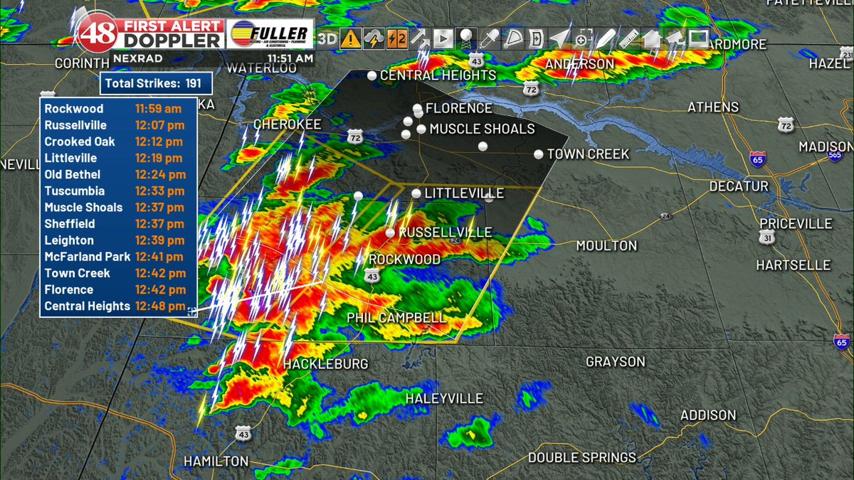
Up to ping pong ball sized hail (1.5") possible with these severe storms over Franklin and Colbert Counties. Threats of strong wind gusts and frequent cloud to ground lightning. Moving NE at 30 mph. WAFF 48

Up to ping pong ball sized hail (1.5") possible with these severe storms over Franklin and Colbert Counties. Threats of strong wind gusts and frequent cloud to ground lightning. Moving NE at 30 mph. <a href="/waff48/">WAFF 48</a>
Redstone Arsenal (@teamredstone) 's Twitter Profile Photo

Smoke Alert! A test range in the southernmost section of Redstone Arsenal will host tests today, Tues. May. 6 from now through 11 a.m. that will produce plumes of white smoke.

Smoke Alert! A test range in the southernmost section of Redstone Arsenal will host tests today, Tues. May. 6 from now through 11 a.m. that will produce plumes of white smoke.
Rocket City Trash Pandas (@trashpandas) 's Twitter Profile Photo

Tarp is on the field but we’re still on right now for our 11:05 AM start time. We will update once we know more closer to first pitch.

Tarp is on the field but we’re still on right now for our 11:05 AM start time. 

We will update once we know more closer to first pitch.
Huntsville Utilities (@hsvutilities) 's Twitter Profile Photo

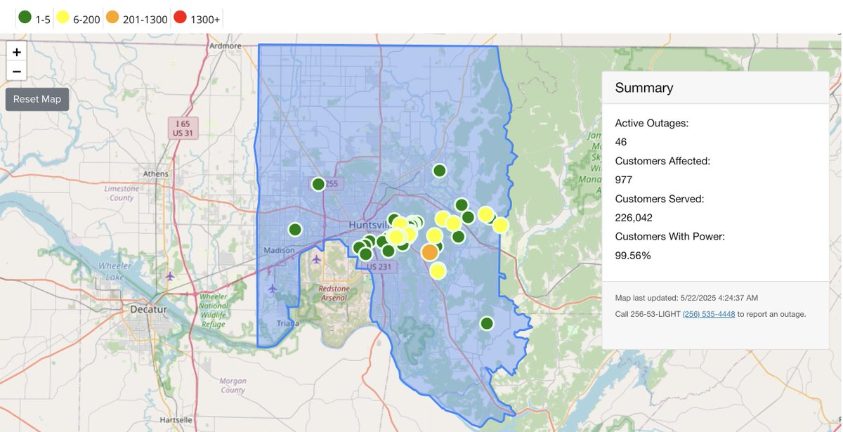
POWER OUTAGE UPDATE Thurs, May 22, 2025 – 4:30 am Customers without power:  977 19 poles down 5 poles damaged/leaning 26 lines down 38 tree issues Crews will continue to make repairs following the severe weather which impacted the service area Tuesday, May 20th.

POWER OUTAGE UPDATE
Thurs, May 22, 2025 – 4:30 am
Customers without power:  977
19 poles down
5 poles damaged/leaning
26 lines down
38 tree issues
Crews will continue to make repairs following the severe weather which impacted the service area Tuesday, May 20th.
Toney Volunteer Fire & Rescue (@toney_fd) 's Twitter Profile Photo

Road conditions across Toney are improving. Pictured is Toney Rd near Old Railroad Bed (open now) and Wall Triana north of McKee (closed currently) . Units are still finding trouble areas and are responding to citizens needing help. NWS Huntsville Madison County EMA
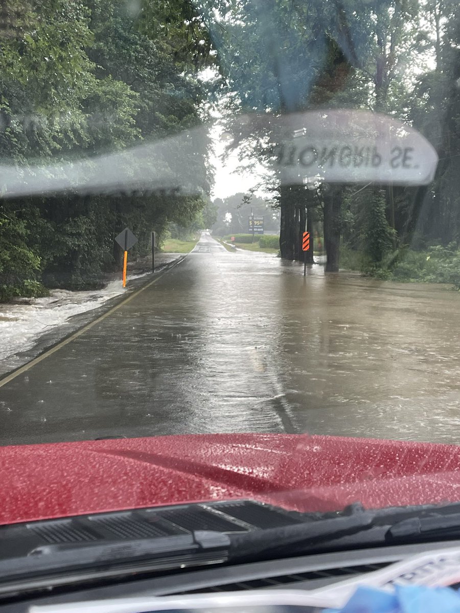
Road conditions across Toney are improving. Pictured is Toney Rd near Old Railroad Bed (open now) and Wall Triana north of McKee (closed currently) . Units are still finding trouble areas and are responding to citizens needing help. <a href="/NWSHuntsville/">NWS Huntsville</a> <a href="/HMCEMA/">Madison County EMA</a>
Huntsville Utilities (@hsvutilities) 's Twitter Profile Photo

Due to high temperatures and dangerous heat indices throughout the region, the Tennessee Valley Authority has initiated the Emergency Load Curtailment Program. Please limit electric use until further notice. Details here: hsvutil.org/news_detail_T1…

Due to high temperatures and dangerous heat indices throughout the region, the Tennessee Valley Authority has initiated the Emergency Load Curtailment Program.
Please limit electric use until further notice. Details here: hsvutil.org/news_detail_T1…
Redstone Arsenal (@teamredstone) 's Twitter Profile Photo

Noise Alert! A test range in the southwest section of Redstone Arsenal will host multiple tests today, Tuesday, July 8, from 10 a.m. through 1 p.m. Expect an increase in noise. #BOOM!

Noise Alert! A test range in the southwest section of Redstone Arsenal will host multiple tests today, Tuesday, July 8, from 10 a.m. through  1 p.m. Expect an increase in noise. #BOOM!
National Hurricane Center (@nhc_atlantic) 's Twitter Profile Photo

11am EDT Mon Aug 11th - Tropical Storm #Erin has formed in the far eastern tropical Atlantic just west of the Cabo Verde Islands. Maximum sustained winds are 45 mph & intensification is forecast as it moves westward across the open tropical Atlantic. hurricanes.gov

11am EDT Mon Aug 11th - Tropical Storm #Erin has formed in the far eastern tropical Atlantic just west of the Cabo Verde Islands.

Maximum sustained winds are 45 mph &amp; intensification is forecast as it moves westward across the open tropical Atlantic.

hurricanes.gov