Maps Made Easy
@mapsmadeeasy
Cloud-based aerial imagery stitching and hosting service. Create up-to-date high resolution maps and 3D models from drone-taken images.
ID: 2835564560
http://www.mapsmadeeasy.com 29-09-2014 14:28:46
688 Tweet
1,1K Followers
3 Following


Android Beta Testers Wanted: We are looking for experienced Map Pilot Pro users that would like to try out the new Android version of Map Pilot Pro. We are looking for as much feedback as possible. Please email [email protected] for a beta release invitation.

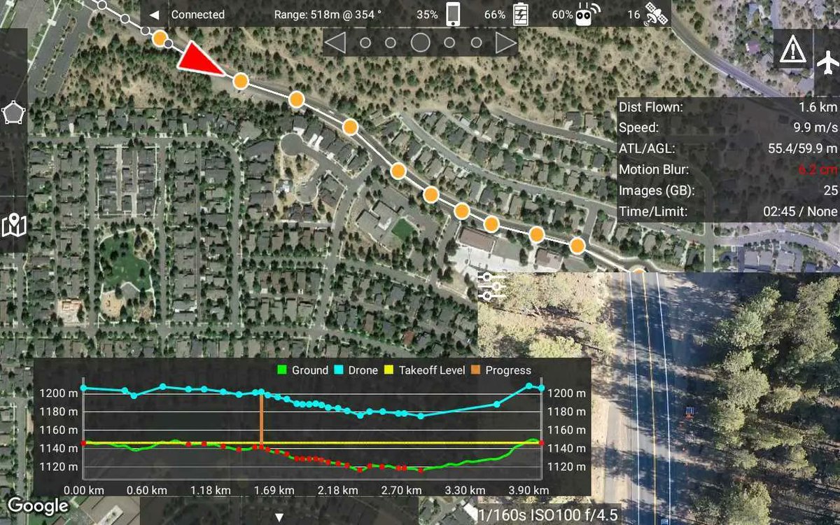
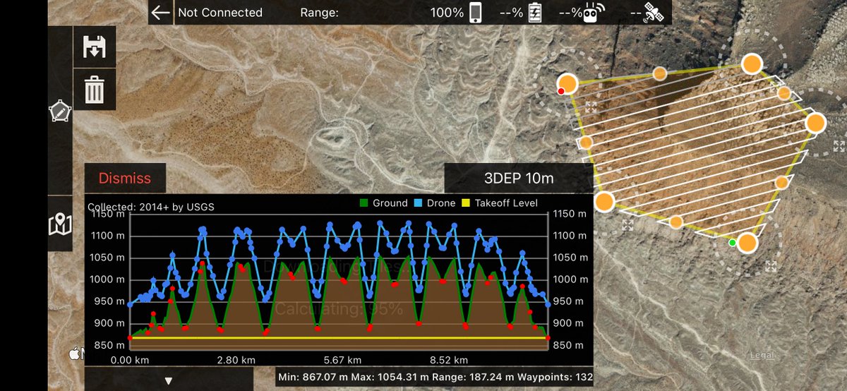
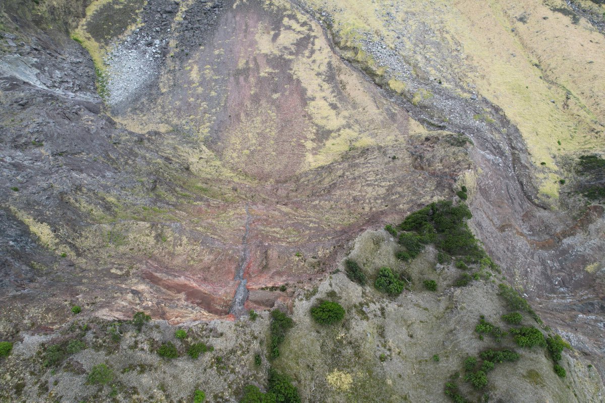
Today we got our 1st proper #albatross eye-view looking down from the Base of #TristanDaCunha. Terrain-following capability provided by Drones Made Easy allowed us to collect some stunning data! Anna Hicks got VERY excited seeing the 1st ever close-ups of this section of the cliff


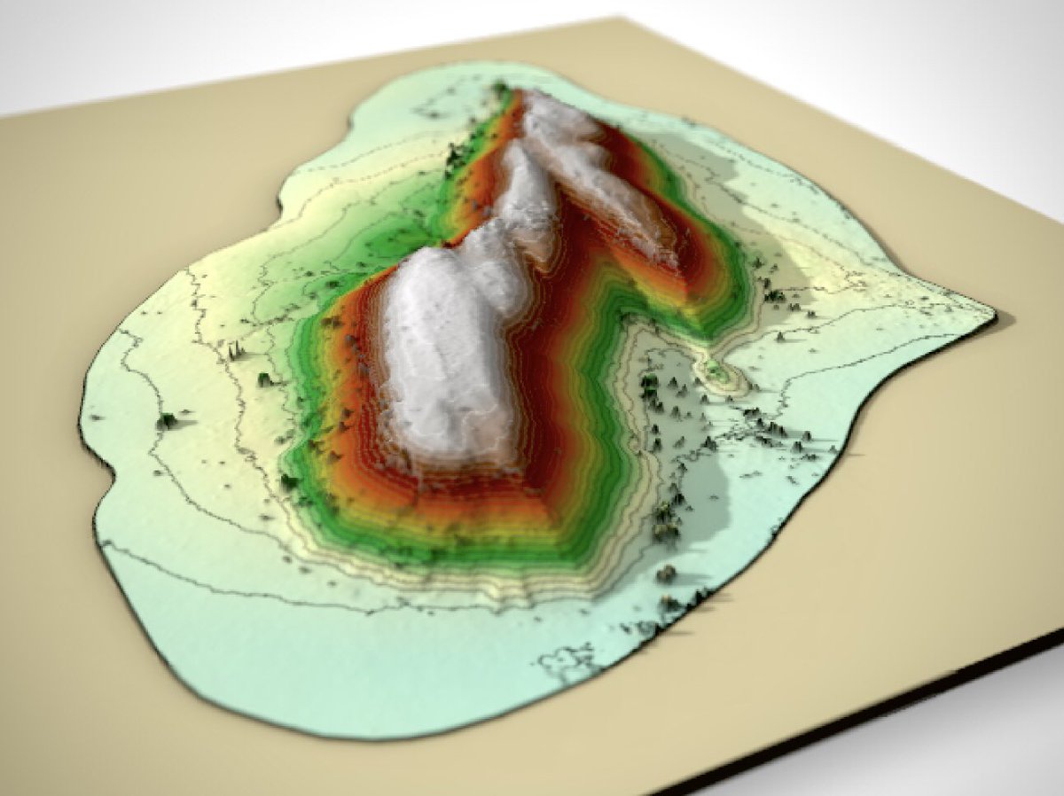
Drone survey from the Amadeus Basin, central Australia #rayshader #QGIS #DJI #ntaustralia Maps Made Easy

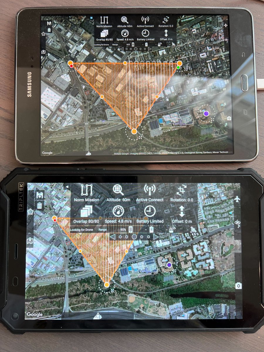
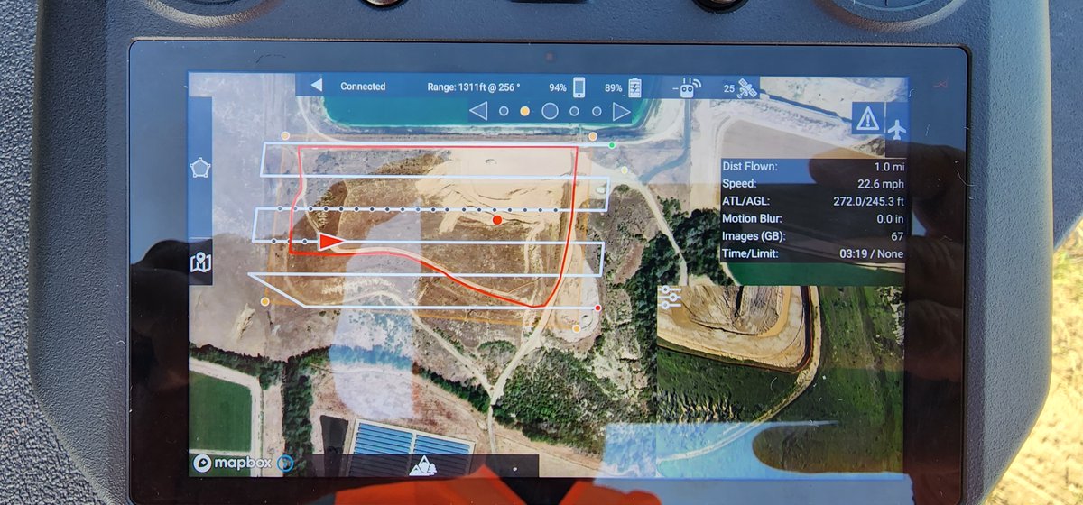
Map Pilot Pro is looking pretty good on the DJI Enterprise Mavic 3 Enterprise. Almost ready for full public release. Read more and download APKs: support.dronesmadeeasy.com/hc/en-us/commu…

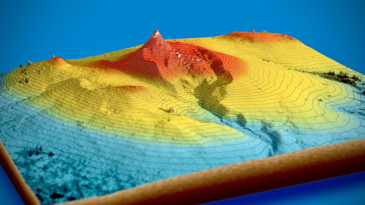
Drone survey from central Australia consisting of 349 photos from a DJI Mavic Air 2. Digital elevation model and stitched image created with Maps Made Easy. Topographic contours made with QGIS. Flyover created with the rayshader package in Rstats

Map Pilot Pro support for the #Mavic 3 #Multispectral on the RC Pro Enterprise remote is up and running nicely. This was by far the easiest NDVI map we have ever created and we have been doing this a while. Nice work on the #M3M DJI Enterprise. View here: mapsmadeeasy.com/locations/publ…


Drone survey from central Australia. Data collected by @RockDrCait with a DJI Mavic Air 2. Photogrammetry by Maps Made Easy. GIS with #QGIS. Rendered with the #rayshader package in #rstats
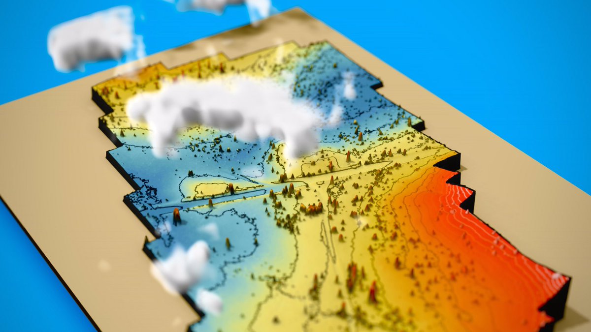


Low-altitude drone survey along the Todd River north of Alice Springs. Made with a DJI Mavic Air 2 Maps Made Easy #rayshader #QGIS
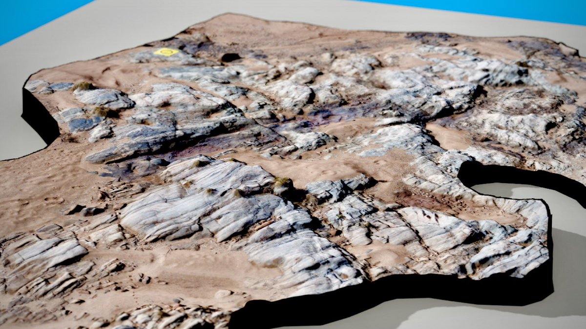

Drone survey from the eastern Amadeus Basin, central Australia. Photos taken with a DJI Air 2S #rayshader #QGIS #rstats #ntaustralia Maps Made Easy
