Florida’s Stormchasing Adventures (@extstormchaser) 's Twitter Profile
Florida’s Stormchasing Adventures

@extstormchaser

storm spotter-storm chaser- Weather Enthusiast & Future Meteorologist.

ID: 1569911468

linkhttps://www.youtube.com/c/Florida%E2%80%99sStormchasingAdventures/featured calendar_today05-07-2013 06:56:57

10,10K Tweet

620 Followers

4,4K Following

Max Olson (@mesomax919) 's Twitter Profile Photo

A brief glimpse of what happened today, that first clip has easily some of the strongest winds I have experienced in any hurricane I’ve chased. A mini doc will be made once all the surge probes are collected, the Ft Myers Beach one is going to be insane. youtu.be/bbeqChPvlQk

NWS Storm Prediction Center (@nwsspc) 's Twitter Profile Photo

Tue, Oct 25th: Tornado Watch until 7 PM CDT for west-central/northern Alabama and southern Middle Tennessee . Primary threats: a couple of tornadoes and scattered damaging wind gusts to 70 mph. Check spc.noaa.gov and weather.gov for updates. #alwx #tnwx

Tue, Oct 25th: Tornado Watch until 7 PM CDT for west-central/northern Alabama and southern Middle Tennessee . Primary threats: a couple of tornadoes and scattered damaging wind gusts to 70 mph. Check spc.noaa.gov and weather.gov for updates. #alwx #tnwx
Max Olson (@mesomax919) 's Twitter Profile Photo

8 hours of footage condensed into about 30 seconds, this is the transformation that a catastrophic storm surge can do to an area in a day. #HurricaneIan

T☈EY FULB☈IGHT (@cf3_weather) 's Twitter Profile Photo

Tomorrow’s severe weather threat will be over one of the worst spots for radar coverage east of the Rockies. Lowest scan over parts of Northeast TX is ~10,000FT, which can be a problem when trying to detect shallow mesocyclones and QLCS-type tornadic circulations. #txwx

Tomorrow’s severe weather threat will be over one of the worst spots for radar coverage east of the Rockies. Lowest scan over parts of Northeast TX is ~10,000FT, which can be a problem when trying to detect shallow mesocyclones and QLCS-type tornadic circulations. #txwx
NWS Norman (@nwsnorman) 's Twitter Profile Photo

Parts of south central and southeast Oklahoma will see a risk of tornadoes this afternoon and evening. This would be a good time to think about how to stay safe in a tornado. #okwx

Parts of south central and southeast Oklahoma will see a risk of tornadoes this afternoon and evening. This would be a good time to think about how to stay safe in a tornado.  #okwx
Ryan Hall, Y’all (@ryanhallyall) 's Twitter Profile Photo

OBSERVED Tornado Warning including Sulphur Springs TX, Point TX, and Cumby TX until 5:30 PM CDT! SEEK SHELTER! We’re tracking these with RadarOmega LIVE NOW: youtu.be/coyOK8OLqlM

OBSERVED Tornado Warning including Sulphur Springs TX, Point TX, and Cumby TX until 5:30 PM CDT! SEEK SHELTER! We’re tracking these with <a href="/RadarOmega/">RadarOmega</a> LIVE NOW: youtu.be/coyOK8OLqlM
Zachary Hall (@wxzachary) 's Twitter Profile Photo

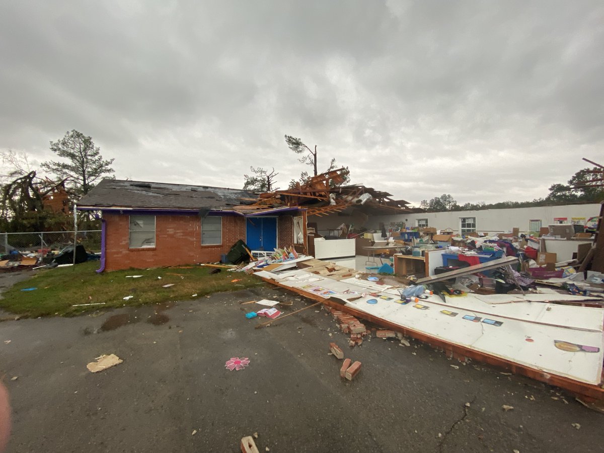
Significant #tornado damage in the Cason, Texas area. Large trees destroyed and vehicles heavily damaged. Strong law enforcement/first responder presence. Ryan Hall, Y’all @VortexChasing Jim Cantore