Yuhe Chang (@yuhechang) 's Twitter Profile
Yuhe Chang

@yuhechang

Earth & Environment PhD Candidate at BU

ID: 1553735000847253504

calendar_today31-07-2022 13:31:15

8 Tweet

50 Followers

105 Following

Zeke Hausfather (@hausfath) 's Twitter Profile Photo

It is now official: November was the warmest November on record by a wide margin in the JRA-55 dataset, beating the prior record set in 2020 by 0.3C. November 2023 was 1.6C above preindustrial levels, and the year-to-date temperatures are 1.4C above preindustrial.

It is now official: November was the warmest November on record by a wide margin in the JRA-55 dataset, beating the prior record set in 2020 by 0.3C.

November 2023 was 1.6C above preindustrial levels, and the year-to-date temperatures are 1.4C above preindustrial.
Qiusheng Wu (@giswqs) 's Twitter Profile Photo

A comprehensive list of 9,043 #NASA Earth science data products available in TSV and JSON formats. Integration into #leafmap for interactive search and visualization is coming soon 🗺️🌎 ➡️ github.com/opengeos/NASA-… NASAEarthdata #opendata #geospatial #earthobservation

Qiusheng Wu (@giswqs) 's Twitter Profile Photo

The recording of the 4-hr #EarthEngine and #geemap workshop at #AGU23 is now available. 🎥 Video: youtu.be/YrvCwQoGoxg 📒 Notebook: geemap.org/workshops/AGU_… Justin Braaten Samapriya Roy, PhD. #geospatial #python

The recording of the 4-hr #EarthEngine and #geemap workshop at #AGU23 is now available. 

🎥 Video: youtu.be/YrvCwQoGoxg
📒 Notebook: geemap.org/workshops/AGU_…

<a href="/jstnbraaten/">Justin Braaten</a> <a href="/samapriyaroy/">Samapriya Roy, PhD.</a> #geospatial #python
Sha Zhou (@zhou_sha) 's Twitter Profile Photo

Happy to share our new study npj Journals showing large influence of compound droughts on terrestrial carbon uptake. nature.com/articles/s4161…

Martin Brandt (@matin_brandt) 's Twitter Profile Photo

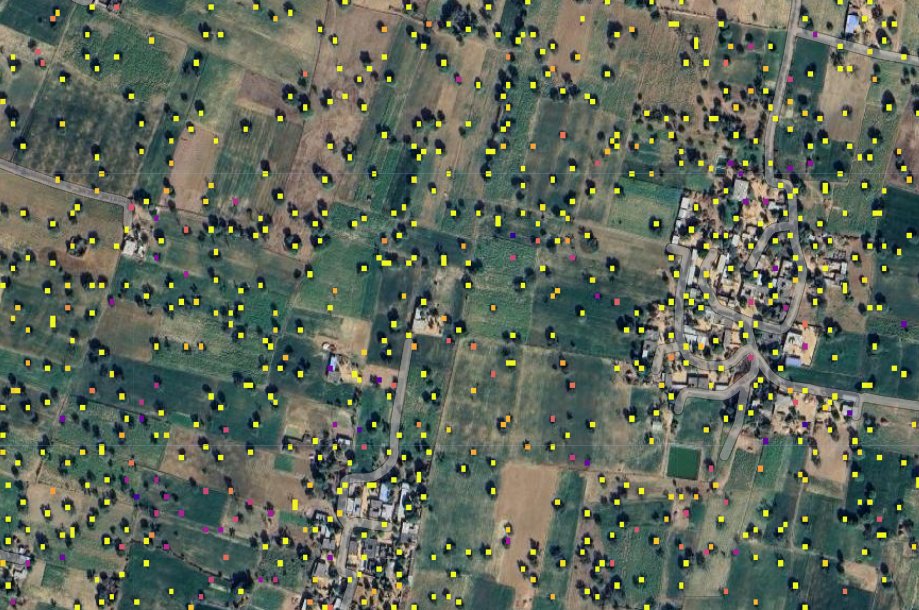
Check our new Tree Explorer! It now includes a half billion individual farmland trees over all India mapped with PlanetScope each year 2018-2022, more to come! rs-cph.projects.earthengine.app/view/tree NICFI Satellite Data Program Planet

Check our new Tree Explorer! It now includes a half billion individual farmland trees over all India mapped with PlanetScope each year 2018-2022, more to come! rs-cph.projects.earthengine.app/view/tree   <a href="/NICFISatData/">NICFI Satellite Data Program</a> <a href="/planet/">Planet</a>
World Resources Institute (@worldresources) 's Twitter Profile Photo

🗺️Meta, World Resources Institute & Land & Carbon Lab have launched the first #AI-powered, 1-meter resolution global map of tree canopy height🌳 The model & data are made free & available to advance open source monitoring & improve our ability to adapt to #climatechange. More
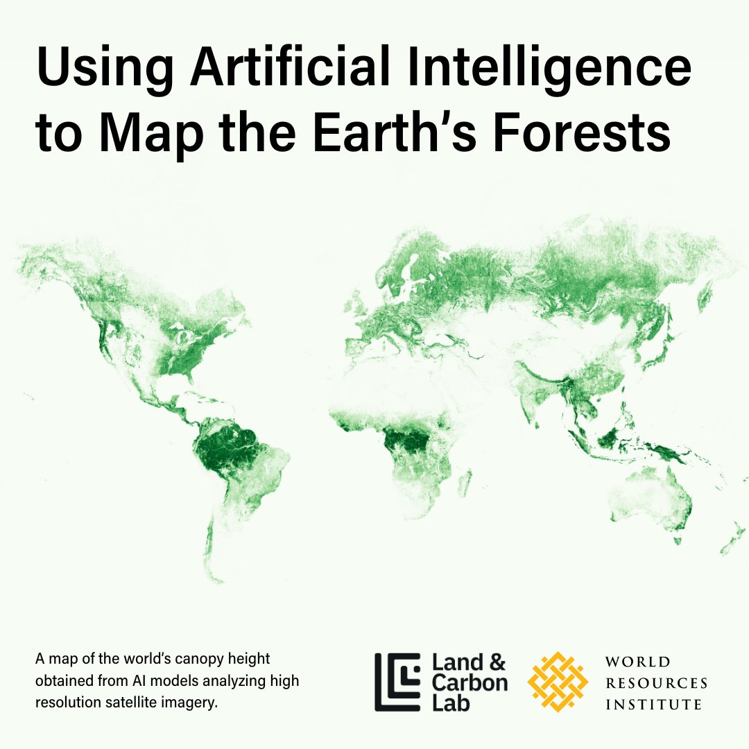
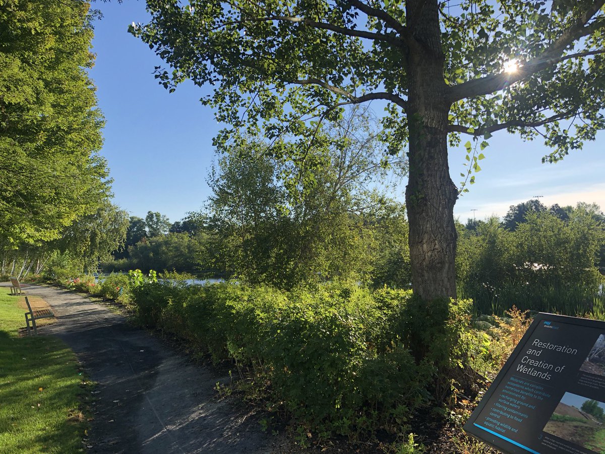
🗺️<a href="/Meta/">Meta</a>, <a href="/WorldResources/">World Resources Institute</a>  &amp; <a href="/landcarbonlab/">Land & Carbon Lab</a> have launched the first #AI-powered, 1-meter resolution global map of tree canopy height🌳

The model &amp; data are made free &amp; available to advance open source monitoring &amp; improve our ability to adapt to #climatechange. 

More