Zehahaha (@zachafif) 's Twitter Profile
Zehahaha

@zachafif

🛰️🌏🌲🥊

ID: 1766961869359816704

calendar_today10-03-2024 22:58:51

188 Tweet

6 Followers

189 Following

ForestPlots (@forestplots) 's Twitter Profile Photo

Mo et al nature. *Global forest carbon storage is 226 Gt (range = 151–363 Gt) below the natural potential in areas with low human footprint. *The greatest carbon capture opportunities come not from planting treees, but by conserving existing forests. nature.com/articles/s4158…

Mo et al <a href="/Nature/">nature</a>.  
*Global forest carbon storage is 226 Gt (range = 151–363 Gt) below the natural potential in areas with low human footprint.
*The greatest carbon capture opportunities come not from planting treees, but by conserving existing forests.

nature.com/articles/s4158…
Mohamed Ait Abdelmalik 𝕏 | ⵎⵓⵃⴰⵎⵎⴰⴷ ⴰⵢⵜ ⵄⴱⴷⵍⵎⴰⵍⵉⴽ (@moaitabdelmalik) 's Twitter Profile Photo

1. Interfacing Geostatistics and GIS lnkd.in/g3AmDCPt 2. Focus on Geodatabases in ArcGIS Pro lnkd.in/gB9G6EWP 3. GIS and Public Health lnkd.in/gr3-cDt2 4. GIS for Coastal Zone Management lnkd.in/g8dsjTKU

Mohamed Ait Abdelmalik 𝕏 | ⵎⵓⵃⴰⵎⵎⴰⴷ ⴰⵢⵜ ⵄⴱⴷⵍⵎⴰⵍⵉⴽ (@moaitabdelmalik) 's Twitter Profile Photo

5. Getting to Know ArcGIS Pro lnkd.in/geu6fxAC 6. Introduction to GIS Programming and Fundamentals with Python and ArcGIS lnkd.in/g4gschZi 7. Innovations in GIS - Representing, Modeling, and Visualizing the Natural Environment lnkd.in/gbR3duqh

Yohan (@yohaniddawela) 's Twitter Profile Photo

Measuring agricultural GDP at a pixel level is notoriously challenging. It requires precise information on crop type and crop yield. Now, European Space Agency has launched a (free) dataset that provides this information. Here's what you need to know about it:

Measuring agricultural GDP at a pixel level is notoriously challenging.

It requires precise information on crop type and crop yield.

Now, <a href="/esa/">European Space Agency</a> has launched a (free) dataset that provides this information.

Here's what you need to know about it:
Zehahaha (@zachafif) 's Twitter Profile Photo

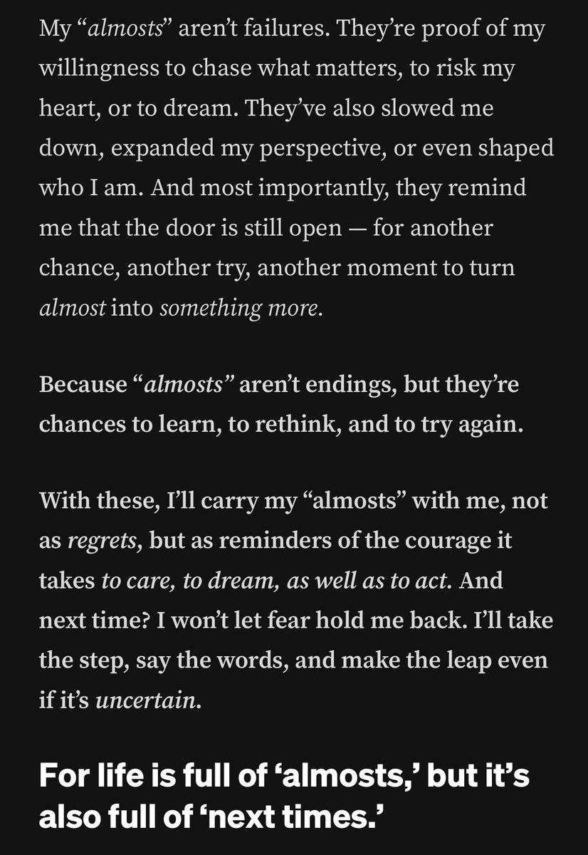
Just casually strolling on linkedin when suddenly the post come up. Sometimes i imagine being there, just one step left but yeah failed and now must started all over again. What could have been. I think it would be nice.

Just casually strolling on linkedin when suddenly the post come up. Sometimes i imagine being there, just one step left but  yeah failed and now must started all over again. What could have been. I think it would be nice.
Teza Sumendra (@tezasumendra) 's Twitter Profile Photo

Tiap ada laron gue selalu inget kalo mereka hidupnya cuma 1 hari, so I let them have all the lights! Live a day in your life to the fullest, besties!

Yohan (@yohaniddawela) 's Twitter Profile Photo

To be a good geospatial data scientist, you need good tools. My tool of choice is R. Here are the packages I can't live without: #rstats

To be a good geospatial data scientist, you need good tools.

My tool of choice is R.

Here are the packages I can't live without:

#rstats
Geomatics MDPI (@geomatics_mdpi) 's Twitter Profile Photo

📗Feasibility of Using Green #Laser for #Underwater #Infrastructure Monitoring: Case Studies in South Florida ✍️by Rahul Dev Raju, Sudhagar Nagarajan, Madasamy Arockiasamy and Stephen Castillo 🔗Full paper at: mdpi.com/2673-7418/4/2/…

📗Feasibility of Using Green #Laser for #Underwater  #Infrastructure Monitoring: Case Studies in South Florida

✍️by Rahul Dev Raju, Sudhagar Nagarajan, Madasamy Arockiasamy and Stephen Castillo

🔗Full paper at: mdpi.com/2673-7418/4/2/…
theJuiceMedia 🦋 (@thejuicemedia) 's Twitter Profile Photo

The “Government” of Myanmar has made a tourism ad, and it’s surprisingly honest and informative 🇲🇲 #WhatsHappeningInMyanmar

Kanzi (@imagitiveness) 's Twitter Profile Photo

gue mentoring sama pak Ridwan Gunawan @gunawanridwan beberapa waktu lalu, ini key insights yang menurut gue penting diinget sebagai early careers 🧵:

Miina Rautiainen (@miinaraut) 's Twitter Profile Photo

🌲📢New paper and #opendata! A spectral–structural characterization of European temperate, hemiboreal, and boreal #forest s. Based on detailed data collected in field and airborne campaigns funded by European Research Council (ERC) essd.copernicus.org/articles/16/50…

🌲📢New paper and #opendata! A spectral–structural characterization of European temperate, hemiboreal, and boreal #forest s. Based on detailed data collected in field and airborne campaigns funded by <a href="/ERC_Research/">European Research Council (ERC)</a> essd.copernicus.org/articles/16/50…
Vee (뷔) (@zwolftenaugust) 's Twitter Profile Photo

mau bikin thread soal GKS-G (graduate program, untuk S2/S3/research) dan spesifik R-GKS kali aja ada yg tahun depan kepengen mencoba melanjutkan pendidikan lebih tinggi yg fully funded

Reinhart Hermanus (@reinharthrm) 's Twitter Profile Photo

Buat temen2 yg mau consider #KaburAjaDulu semoga dilancarkan persiapan nya. Buat yg gak punya privilege untuk bisa kaya gitu, gw cuma bisa bilang tetap semangat, kita berjuang sama2 disini 💪💪

Remote Sensing MDPI (@remotesens_mdpi) 's Twitter Profile Photo

🌲🌲 Benchmarking Under- and Above- #Canopy #Laser Scanning Solutions for Deriving Stem Curve and #Volume in Easy and Difficult #Boreal #Forest Conditions ✍️ Jesse Muhojoki et al. 🔗 brnw.ch/21wQMdu

🌲🌲 Benchmarking Under- and Above- #Canopy #Laser Scanning Solutions for Deriving Stem Curve and #Volume in Easy and Difficult #Boreal #Forest Conditions

✍️ Jesse Muhojoki et al.
🔗 brnw.ch/21wQMdu
NASAEarthdata (@nasaearthdata) 's Twitter Profile Photo

ICYMI: The second NASA ICESat-2 data training webinar, "Laser Altimetry Applications for a Changing World: Working with ICESat-2 Land and Vegetation Height Data" is available for viewing online. Watch it here: go.nasa.gov/3QmR3k7 @NASA_Ice #NASA #EarthData

Remote Sensing MDPI (@remotesens_mdpi) 's Twitter Profile Photo

🌲🌲 Mapping of #Forest Structural Parameters in #Tianshan Mountain Using Bayesian-Random Forest Model, Synthetic Aperture #Radar #Sentinel1A, and #Sentinel2 Imagery ✍️ Ting Wang et al. 🔗 brnw.ch/21wRAIa

🌲🌲 Mapping of #Forest Structural Parameters in #Tianshan Mountain Using Bayesian-Random Forest Model, Synthetic Aperture #Radar #Sentinel1A, and #Sentinel2 Imagery

✍️ Ting Wang et al.
🔗 brnw.ch/21wRAIa
Falkenhaynz (@keharyapatihan) 's Twitter Profile Photo

Materi Retreat Kepala Daerah - Akmil Magelang 21-28 Februari 2025 drive.google.com/drive/folders/… Bagus buat yg suka membaca & mengikuti perkembangan negara dan pemerintahan .