Erik Taylor (@weathererik) 's Twitter Profile
Erik Taylor

@weathererik

Former On Air Tv Meteorologist Now NWS Meteorologist & Rutgers University Alum Rower/Long Distance Runner.

ID: 2276927581

calendar_today05-01-2014 01:51:42

34,34K Tweet

3,3K Followers

3,3K Following

James Spann (@spann) 's Twitter Profile Photo

Long time followers here know that I don’t do politics, and there’s no political content on this account. I vote; and that’s it. ļæ¼The world does not need another social media nitwit telling people how to think and vote. ļæ¼ This post is not about politics, but about support for

Long time followers here know that I don’t do politics, and there’s no political content on this account. I vote; and that’s it. ļæ¼The world does not need another social media nitwit telling people how to think and vote. ļæ¼

This post is not about politics, but about support for
NWS Storm Prediction Center (@nwsspc) 's Twitter Profile Photo

1:02am CDT #SPC Day2 Outlook Moderate Risk: across parts of Louisianna Mississippi Alabama and the Florida Panhandle spc.noaa.gov/products/outlo…

1:02am CDT #SPC Day2 Outlook Moderate Risk: across parts of Louisianna Mississippi Alabama and the Florida Panhandle spc.noaa.gov/products/outlo…
NWS Baltimore-Washington (@nws_baltwash) 's Twitter Profile Photo

Dry & mild today, with cloudier skies east of the Blue Ridge & sunnier to the west. Well above normal temps this weekend, with a strong cold front passing through the area Sunday. Some strong to severe thunderstorms are possible Sunday. More at weather.gov/lwx

Dry & mild today, with cloudier skies east of the Blue Ridge & sunnier to the west. Well above normal temps this weekend, with a strong cold front passing through the area Sunday. Some strong to severe thunderstorms are possible Sunday. More at weather.gov/lwx
James Bryant (@katvjames) 's Twitter Profile Photo

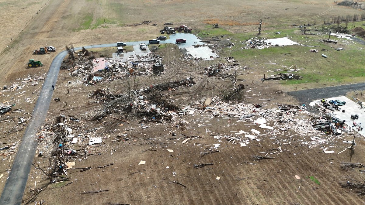
Some of the worst damage I have seen was to some property of AR-17 coming into the west side of Diaz north of Newport. What appears to be a brick house and metal outbuildings were completely swept away. From some people who looked at the damage in person, they said anchor

Some of the worst damage I have seen was to some property of AR-17 coming into the west side of Diaz north of Newport.

What appears to be a brick house and metal outbuildings were completely swept away. 

From some people who looked at the damage in person, they said anchor
The FAA āœˆļø (@faanews) 's Twitter Profile Photo

The National Weather Service' Ken Widelski has this week's weather outlook for air travel. Get tips at bit.ly/3NP6KOZ and make sure you monitor fly.faa.gov for real-time airport updates. #FAAWeatherSquad NOAA

NOAA Satellites (@noaasatellites) 's Twitter Profile Photo

.NOAA's #GOESEast (#GOES16)šŸ›°ļø is closely monitoring the mid-Mississippi and lower Ohio valleys this morning. NOAA's NWS Storm Prediction Center has placed the region under a #HighRisk for #SevereWeather today and a #Tornado Outbreak with numerous strong tornadoes appears likely. Stay alert and

Erik Taylor (@weathererik) 's Twitter Profile Photo

West Tennessee and Middle Tennessee friends heads up. Gonna be an interesting #severeweather day ahead. Be prepared and not scared. Have a plan and way to get warning via šŸ“ŗ, šŸ“», oršŸ“±. #tnwx

Erik Taylor (@weathererik) 's Twitter Profile Photo

Please seek higher ground immediately if you are near water in Greene Co. Va. Heads up along 33. #TurnAroundDontDrown. Keep tuned to Aubrey Urbanowicz Travis Koshko for the latest. #vawx

NOAA (@noaa) 's Twitter Profile Photo

NOAA’s Atlantic #HurricaneSeason Outlook 2025: 60% chance of an above-normal season. Likelihood of 13-19 named storms of which 6-10 could become hurricanes, including 3-5 major hurricanes: Download our summary graphics at: bit.ly/2025AtlanticHu… NWS Climate Prediction Center National Weather Service

NOAA’s Atlantic #HurricaneSeason Outlook 2025:

60% chance of an above-normal season.

Likelihood of 13-19 named storms of which 6-10 could become hurricanes, including 3-5 major hurricanes:

Download our summary graphics at: bit.ly/2025AtlanticHu…

<a href="/NWSCPC/">NWS Climate Prediction Center</a> <a href="/NWS/">National Weather Service</a>
Erik Taylor (@weathererik) 's Twitter Profile Photo

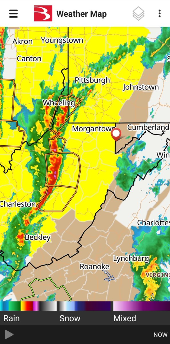
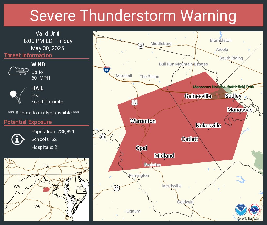
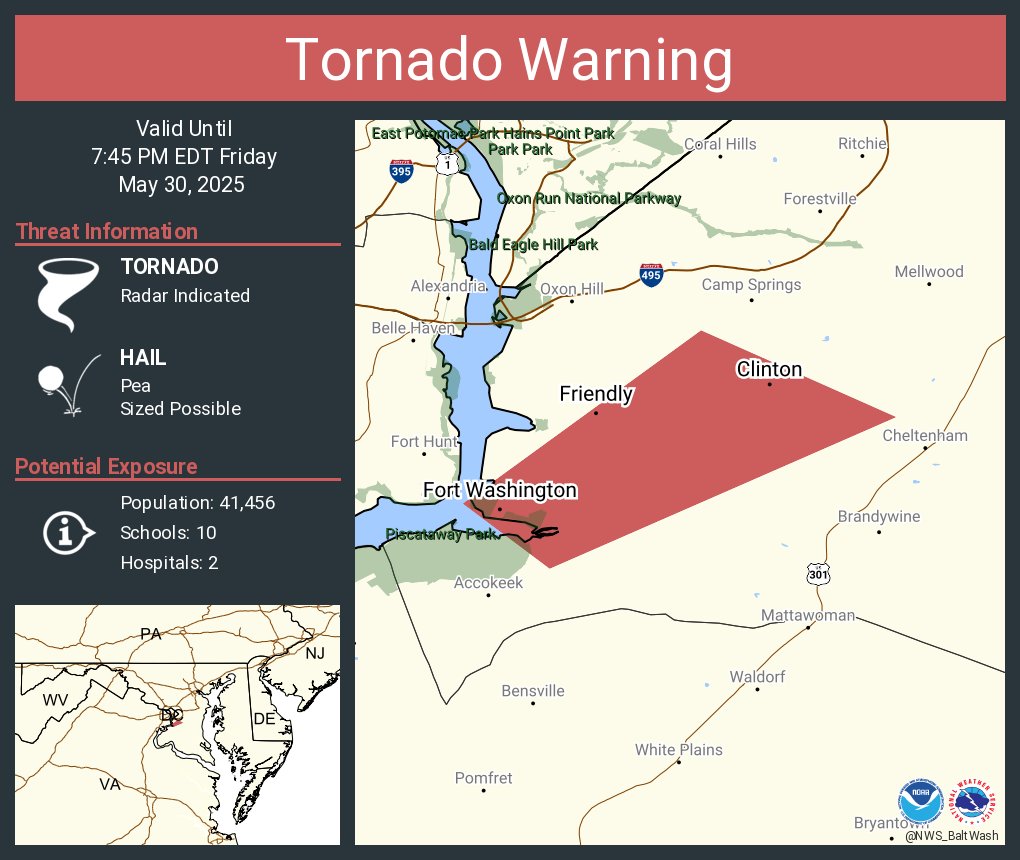
Heads up #Baltimore and #WashingtonDC friends. #Tornado Watch for areaseast of I-81 til midnight. Have a way to get warning via phone, tv, or radio. #mdwx #vawx