Twisting Fury (@twisting_fury) 's Twitter Profile
Twisting Fury

@twisting_fury

We are a group of chasers along with Meteorologist Todd Rasmuson, our main goal is to keep everyone safe & informed.

ID: 3288054762

linkhttps://linktr.ee/TwistingFury calendar_today23-07-2015 02:10:24

85 Tweet

1,1K Takipçi

2,2K Takip Edilen

NWS Storm Prediction Center (@nwsspc) 's Twitter Profile Photo

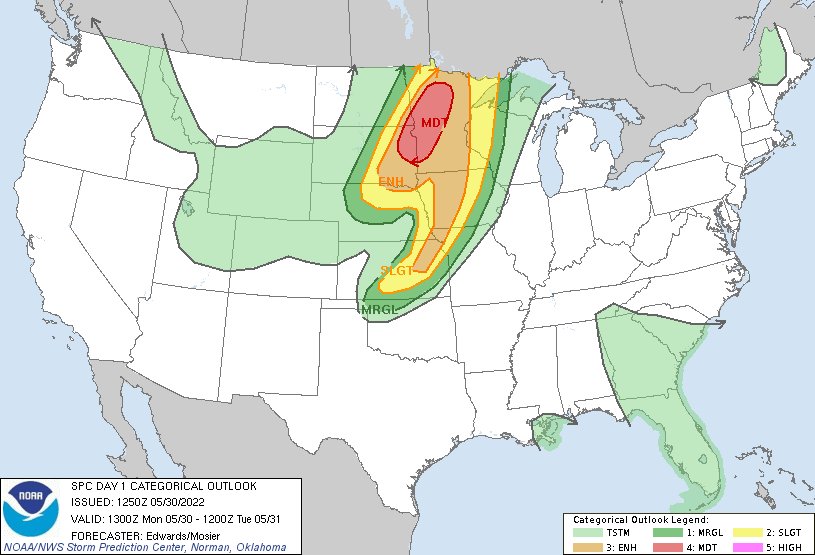
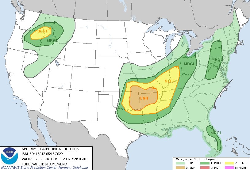
7:52am CDT #SPC Day1 Outlook Moderate Risk: over portions of eastern South Dakota, extreme southeastern North Dakota and western to northern Minnesota go.usa.gov/YWq5

7:52am CDT #SPC Day1 Outlook Moderate Risk: over portions of eastern South Dakota, extreme southeastern North Dakota and western to northern Minnesota go.usa.gov/YWq5
Kody Wilson (@kodythewxguy) 's Twitter Profile Photo

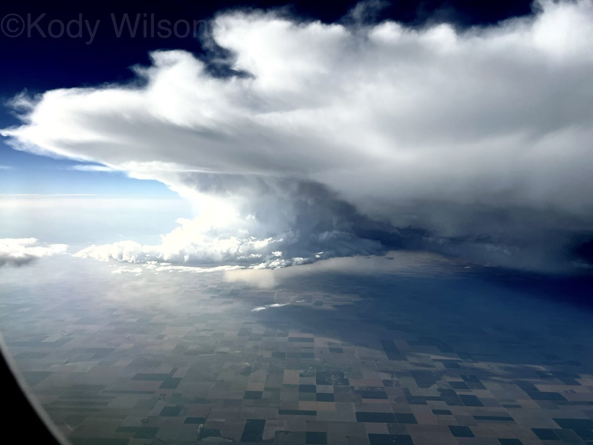
Scored an absolute JACKPOT on my flight to Denver this evening. Tornadic supercell over SW Kansas at 34,000 feet. #KSwx #Tornado #SevereWeather #Weather #ViralPic #ViralTwitter #StormChaser

Scored an absolute JACKPOT on my flight to Denver this evening. Tornadic supercell over SW Kansas at 34,000 feet. #KSwx #Tornado #SevereWeather #Weather #ViralPic #ViralTwitter #StormChaser
NWS Tulsa (@nwstulsa) 's Twitter Profile Photo

[315 pm 7/29] Here are the details of last night's tornado that moved through portions of Broken Arrow #okwx, based on our damage survey today: forecast.weather.gov/product.php?si…

[315 pm 7/29] Here are the details of last night's tornado that moved through portions of Broken Arrow #okwx, based on our damage survey today: forecast.weather.gov/product.php?si…
Rich Wirdzek (@richwirdzekwx) 's Twitter Profile Photo

DRAMATIC video of a resident narrowly escaping the Smith Island tornado, while a house next door takes a direct hit. (language warning). Video from Kathy Taylor-Donaway. Last loop is in slow motion #mdwx #smithislandmd

Jeff Castle (@jeffcastlewx) 's Twitter Profile Photo

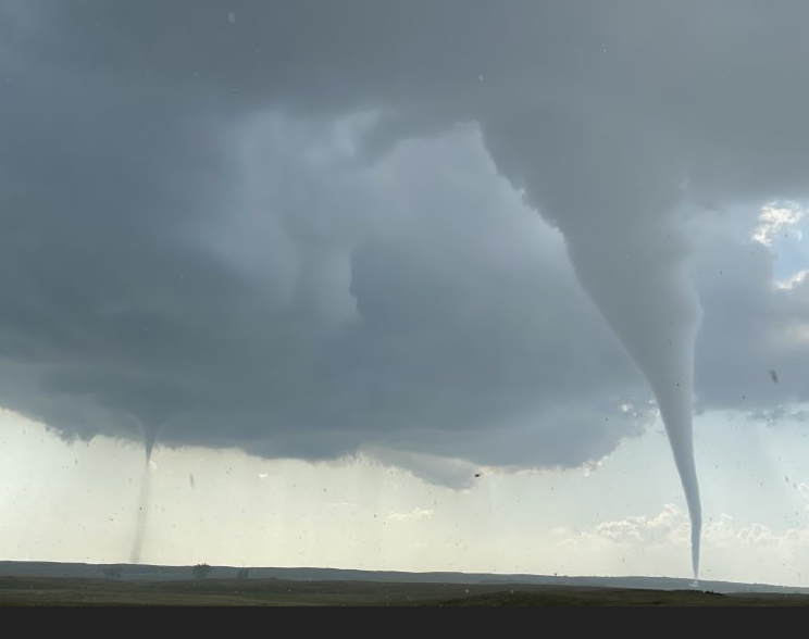
TWIN TWISTERS! Checkout this pair of tornadoes spotted in North Dakota today! This photo was shared with our sister station, KYFR, in Bismarck, ND. #NDWX

TWIN TWISTERS! Checkout this pair of tornadoes spotted in North Dakota today! This photo was shared with our sister station, KYFR, in Bismarck, ND. #NDWX
Corey Inmon (@coreyinmon) 's Twitter Profile Photo

Here is Chance Coldiron and I's view of yesterday's Little Rock tornado as it paralleled 440 and moved in to Jacksonville before lifting. #arwx youtu.be/m0L-j7jy0JY

Corey Inmon (@coreyinmon) 's Twitter Profile Photo

Here’s the video Chance Coldiron and I shot of the tornado as it moved in to Wynne, AR and then tracked east of Wynne to the Mississippi. Eventually became a wedge as it tracked east before we had to let it go due to lack of river crossing. #ArWx youtu.be/QeN4lW2ip3E
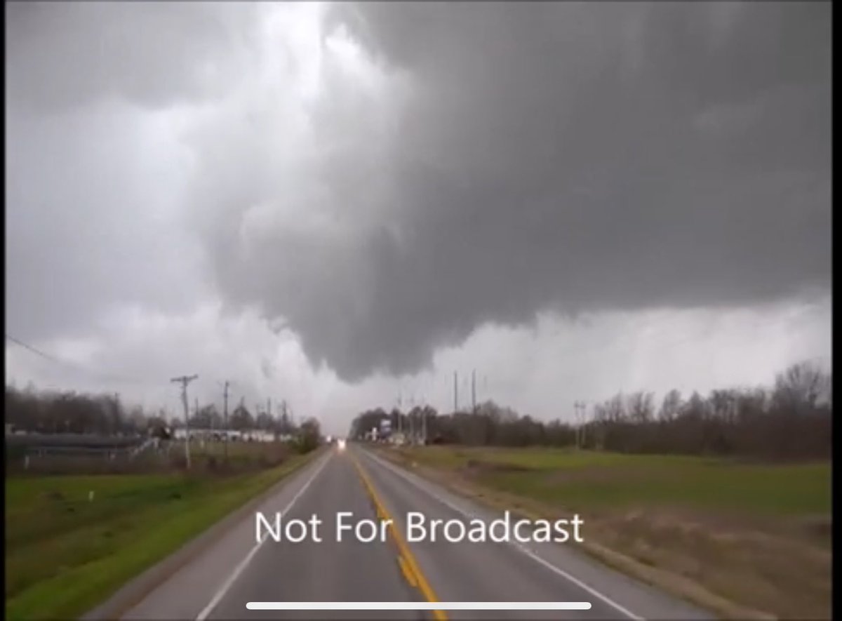
Here’s the video <a href="/ChanceTColdiron/">Chance Coldiron</a> and I shot of the tornado as it moved in to Wynne, AR and then tracked east of Wynne to the Mississippi. Eventually became a wedge as it tracked east before we had to let it go due to lack of river crossing. #ArWx 

youtu.be/QeN4lW2ip3E