IPUMS NHGIS
@nhgis
The National Historical Geographic Information System provides free aggregate census data and GIS-compatible mapping files for the USA from 1790 to the present.
ID: 2744833375
http://www.nhgis.org 19-08-2014 12:44:46
295 Tweet
1,1K Takipçi
318 Takip Edilen


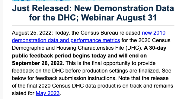
I guess I know what I'm doing this for the next few days! Stay tuned for a new data drop to help you compare the new demo data with 2010 SF1. IPUMS NHGIS


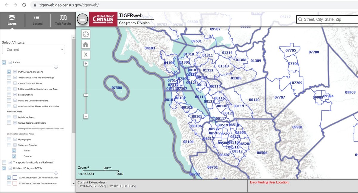
New Public Use Microdata Areas from U.S. Census Bureau Geography. View PUMAs here: tigerweb.geo.census.gov/tigerweb/?utm_… New PUMAs are included in 2022 vintage TIGER, to be used with 2022 v. datasets. (Upcoming 2021 ACS still uses "2010 PUMAs") thanks! h/t for pointing to this Chuck Purvis @charleypurvis.bsky.social


A huge honor for our director, Steve Ruggles! There'd be no IPUMS NHGIS without IPUMS, and there'd be neither without Steve. Congrats, @Steven Ruggles! And thank you, MacArthur Foundation for recognizing his foundational leadership in what we do here!


Interested in mapping population changes at the neighborhood level? We have lots of data to help with that! This thread by our own Jonathan Schroeder provides examples using NHGIS time series and centers of population. #poweredbyIPUMS

👀ICYMI, Jonathan Schroeder's thread of population change maps, showcasing NHGIS data, is getting some notice for getting noticed!


Did you use the power of IPUMS data in you research (published or unpublished) in 2022? We want to hear from you! Submit your application for the 15th Annual IPUMS Research Awards competition--deadline is Friday 17 February. IPUMS IPUMS NHGIS IPUMS Global Health ipums.org/impact/ipums-r…


