Michael Pruitt (@michael_pruitt1) 's Twitter Profile
Michael Pruitt

@michael_pruitt1

Deputy Fire Chief / PIO Bargersville Fire Department, Indiana Task Force 1, JCSD SWAT Medic, 4-H Leader, Johnson County Coroner, Purdue Global Graduate

ID: 455129728

linkhttp://bargersvillefire.com calendar_today04-01-2012 19:28:15

6,6K Tweet

5,5K Takipçi

4,4K Takip Edilen

Michael Pruitt (@michael_pruitt1) 's Twitter Profile Photo

JOHNSON COUNTY TORNADO SIREN INFORMATION📷 SOUNDING OF THE SIRENS: Johnson County Public Safety Communication Center activates the sirens when the National Weather Service issues a Tornado Warning. They can also be activated when a trained weather spotter or public safety

JOHNSON COUNTY TORNADO SIREN INFORMATION📷
SOUNDING OF THE SIRENS:
Johnson County Public Safety Communication Center activates the sirens when the National Weather Service issues a Tornado Warning. They can also be activated when a trained weather spotter or public safety
Michael Pruitt (@michael_pruitt1) 's Twitter Profile Photo

If any #HoustonCougars fans sitting around section 218 about row 11 seat 1 through 5 and you notice a loud obnoxious #Tennessee fan that talked endless trash about #Purdue Friday night. Please give him my best. #NCAATournament #MarchMadness #vols #cougs

NATIONAL US&R SYSTEM (@nat_usar_news) 's Twitter Profile Photo

Due to an outbreak of severe weather, the Blue US&R Incident Support Team (IST) with East IST Cache, 3 NIMS Type 3 Task Forces VA-TF1, MD-TF1, and NE-TF1 with Water Rescue capability have been activated to support effected regions upon request.

Due to an outbreak of severe weather, the Blue US&R Incident Support Team (IST) with East IST Cache, 3 NIMS Type 3 Task Forces VA-TF1, MD-TF1, and NE-TF1 with Water Rescue capability have been activated to support effected regions upon request.
FEMA (@fema) 's Twitter Profile Photo

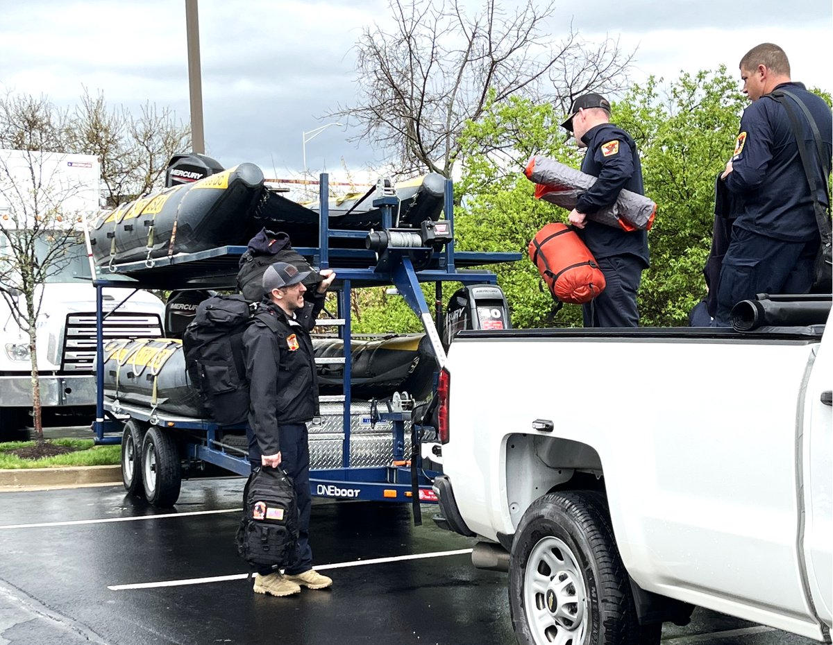
In response to the severe weather impacting several states, Urban Search and Rescue Maryland Task Force1 are staging in Lexington, KY and ready to support life-saving efforts with their swift water rescue team. These actions are supported by the Emergency Declaration.

In response to the severe weather impacting several states, Urban Search and Rescue Maryland Task Force1 are staging in Lexington, KY and ready to support life-saving efforts with their swift water rescue team. These actions are supported by the Emergency Declaration.
Michael Pruitt (@michael_pruitt1) 's Twitter Profile Photo

BREAKING: Active cat 🐈‍⬛ rescue taking place in Bargersville on Carol Dr. Rescue 201 crew working to remove a cat from a Mister Quik van.. You know you wanna sing the Mister Quik jingle! Updates to come! Mister Quik Home Services

BREAKING: Active cat 🐈‍⬛ rescue taking place in Bargersville on Carol Dr. Rescue 201 crew working to remove a cat from a Mister Quik van.. You know you wanna sing the Mister Quik jingle! Updates to come! <a href="/misterquik/">Mister Quik Home Services</a>
Michael Pruitt (@michael_pruitt1) 's Twitter Profile Photo

The Pollard’s are two of my most favorite people in the world. On Father’s Day please catch his documentary espn.com/nba/story/_/id… How to watch Scot Pollard 'Heart of Pearl' E60 on ESPN - ESPN

The Pollard’s are two of my most favorite people in the world. On Father’s Day please catch his documentary 

espn.com/nba/story/_/id… How to watch Scot Pollard 'Heart of Pearl' E60 on ESPN - ESPN
National Hurricane Center (@nhc_atlantic) 's Twitter Profile Photo

Tropical Storm #Barry Advisory 4A: Aircraft Finds Barry a Little Stronger. Heavy Rains and Flash Flooding Anticipated Over Parts of Eastern Mexico For the Next Several Days. hurricanes.gov

Andy Hazelton (@andyhazelton) 's Twitter Profile Photo

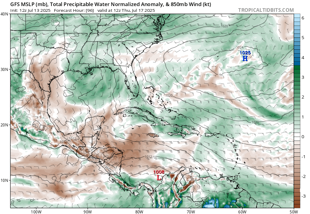
An area of disturbed weather along an old front east of Florida has a chance for some tropical development as it slides into the Gulf early this week. The amount of development will probably depend on how far offshore it stays. With generally favorable upper winds (broad ridge

An area of disturbed weather along an old front east of Florida has a chance for some tropical development as it slides into the Gulf early this week. The amount of development will probably depend on how far offshore it stays. With generally favorable upper winds (broad ridge