Steve Copertino (@thestevecop) 's Twitter Profile
Steve Copertino

@thestevecop

Operational forecaster in the private sector | Millersville University alum | Tweets consist of cyclones, ⚜ Saints, and sometimes other spinning clouds.

ID: 1698127968

calendar_today25-08-2013 04:43:18

6,6K Tweet

3,3K Takipçi

988 Takip Edilen

CIRA (@cira_csu) 's Twitter Profile Photo

A look at the devastating power loss across Jamaica following the historic crossing of Hurricane Melissa, captured by NOAA-21.

Nahel Belgherze (@wxnb_) 's Twitter Profile Photo

NOAA aerial imagery is coming in. Hurricane Melissa literally turned western Jamaica from green to brown. Vegetation damage is immense — recovery will take years.

CJ Fields (@cjfieldswx) 's Twitter Profile Photo

Over in the West Pacific, there has been a concerning trend in AI guidance for Tropical Storm #Kalmaegi to rapidly intensify prior to reaching the Philippines. It is becoming more likely that a powerful typhoon will make landfall there about 2 days from now.

Over in the West Pacific, there has been a concerning trend in AI guidance for Tropical Storm #Kalmaegi to rapidly intensify prior to reaching the Philippines. It is becoming more likely that a powerful typhoon will make landfall there about 2 days from now.
Steve Copertino (@thestevecop) 's Twitter Profile Photo

#Kalmaegi in the WPAC looks like another good candidate for rapid intensification. SSTs are obviously warm, shear will be decreasing, and the compact nature of the storm will make it easier to organize a robust core. This will also be another good test of the DeepMind members.

Tomer Burg (@burgwx) 's Twitter Profile Photo

Swing… and a (huge) miss Be careful with interpreting AI model run-to-run consistency as a sign of high confidence & likelihood — FNV3 was insistent on exceptional rapid deepening up to the last minute when it failed to materialize:

Swing… and a (huge) miss

Be careful with interpreting AI model run-to-run consistency as a sign of high confidence & likelihood — FNV3 was insistent on exceptional rapid deepening up to the last minute when it failed to materialize:
Kaylan Patel (@wxpatel) 's Twitter Profile Photo

If you ever ask me what the ideal banding for a Tropical Cyclone is, I will just show you this gif. #TD32/#FungWong has a nascent core only but it's outflow combined with the expansive banding make it look extremely impressive on satellite.

Taylor Trogdon (@ttrogdon) 's Twitter Profile Photo

Out of all the stats that will be in history books from Melissa, this is the most astounding to me. GLM data was recording a peak flash rate of 700 strikes per minute — nearly 12 per second — as it made landfall on Jamaica. That’s rewriting our understanding flash density in

Andrej / severe-weather.eu (@recretos) 's Twitter Profile Photo

The 3D Polar Vortex (150mb-1mb, colors are temps) as seen in the 12z GFS forecast, which has a zonal wind reversal, and by definition, an official SSW (sudden stratospheric warming) event. Not to say that this forecast will stick, but I just decided to use this run to make a 3D

Matthew Ferreira | MassachusettsWx (@massachusettswx) 's Twitter Profile Photo

In chatting with Steve Copertino, one of the things I've been watching during this govt shutdown is AMDAR obs (aircraft data). While I do not see any notable losses in observation counts in NCEP, ECMWF, there is a subtle trend downwards in AMDAR obs during the 12z run. Should the
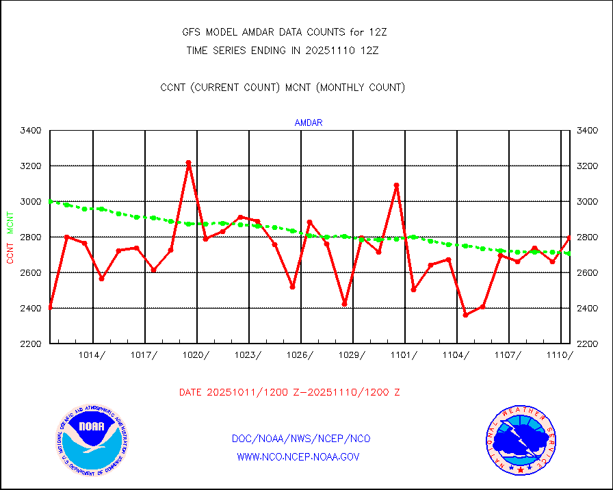
In chatting with <a href="/TheSteveCop/">Steve Copertino</a>, one of the things I've been watching during this govt shutdown is AMDAR obs (aircraft data). While I do not see any notable losses in observation counts in NCEP, ECMWF, there is a subtle trend downwards in AMDAR obs during the 12z run. Should the
Vincent Ledvina (@vincent_ledvina) 's Twitter Profile Photo

The Kp has reached a maximum value of 9- so far during this event. This is the same as the October 2024 storm in terms of Kp, but still shy of a G5 classification which needs a full Kp 9. Still very impressive, though!

The Kp has reached a maximum value of 9- so far during this event. This is the same as the October 2024 storm in terms of Kp, but still shy of a G5 classification which needs a full Kp 9. Still very impressive, though!
Steve Copertino (@thestevecop) 's Twitter Profile Photo

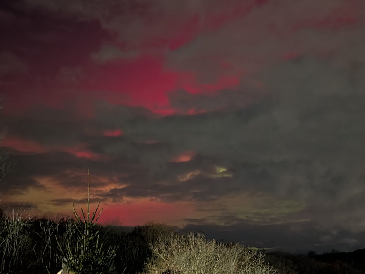
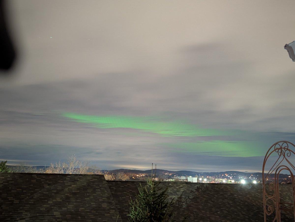
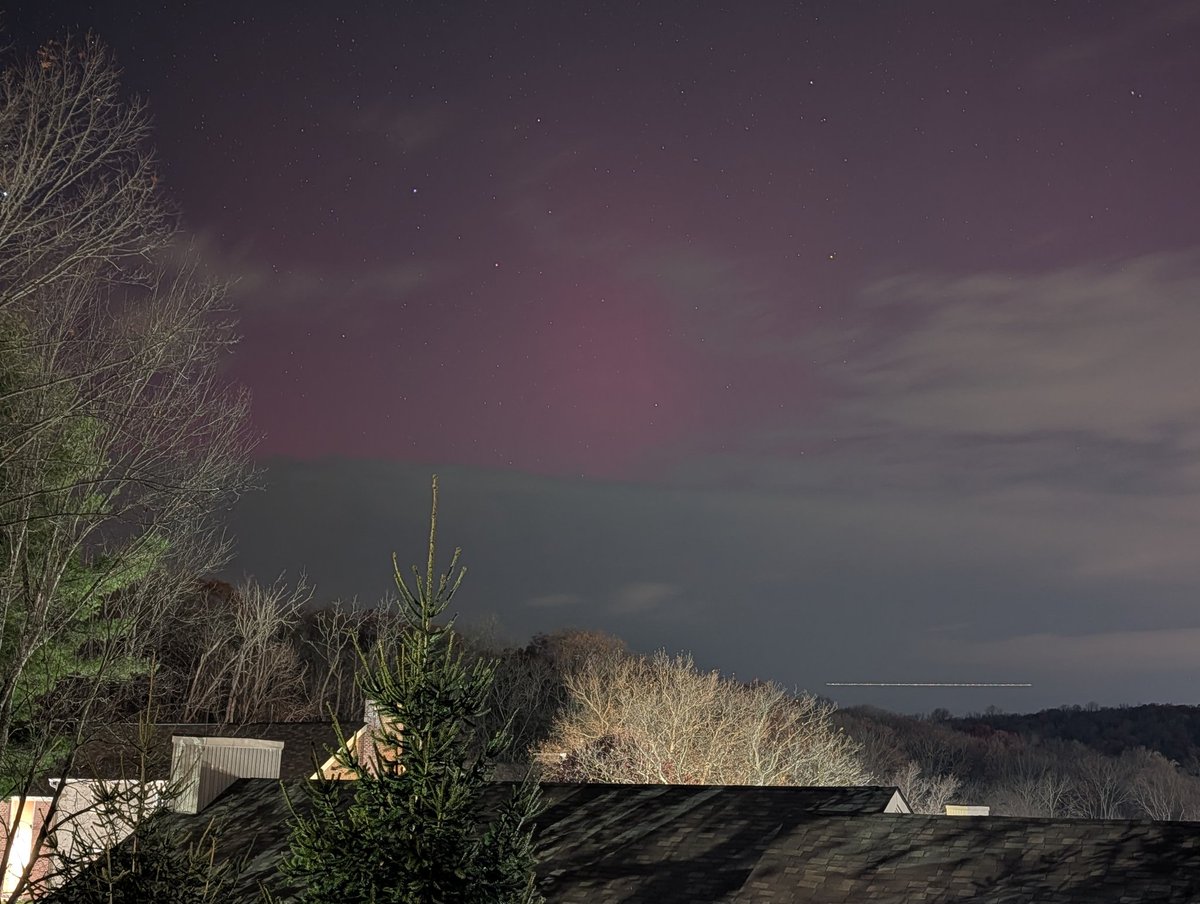
Last night was amazing, but it's tough knowing it could have eclipsed or even surpassed the May and October events of 2024 without the extensive cloud cover. Really hoping we can get lucky tonight!

Last night was amazing, but it's tough knowing it could have eclipsed or even surpassed the May and October events of 2024 without the extensive cloud cover. 

Really hoping we can get lucky tonight!
Michael Lowry (@michaelrlowry) 's Twitter Profile Photo

NCAR is crucial to cutting-edge meteorology and improvements in weather forecasting. It's far, far bigger than a "climate" research lab. This is self-sabotage by a wildly ignorant and malicious administration cutting off their nose to spite their face. Find a better scapegoat.