Andrew Tyrrell (@southarrowmaps) 's Twitter Profile
Andrew Tyrrell

@southarrowmaps

🗺🇳🇿🏔 NZ-based cartographer. Committee @NZCartoSociety. Blender, QGIS, ArcGIS Pro, Illustrator. Partial to a good mountain. @southarrowmaps.co.nz on 🦋

ID: 1020137956869222401

linkhttps://southarrowmaps.co.nz calendar_today20-07-2018 02:46:56

2,2K Tweet

2,2K Followers

217 Following

Atlas of Design (@nacis_atlas) 's Twitter Profile Photo

The Atlas of Design editorial team is excited to share our thoughts on the first half of the Volume 7 Honorable Mentions! atlasofdesign.org/2024/08/31/vol…

The Atlas of Design editorial team is excited to share our thoughts on the first half of the Volume 7 Honorable Mentions!

atlasofdesign.org/2024/08/31/vol…
Andrew Tyrrell (@southarrowmaps) 's Twitter Profile Photo

Stoked to be included in the Honorable Mentions for Volume 7 of the Atlas of Design! I can't wait to get my hands on a copy of the Atlas next month to pore over the maps that made the cut! atlasofdesign.org/2024/09/09/vol…

Alasdair Rae (@undertheraedar) 's Twitter Profile Photo

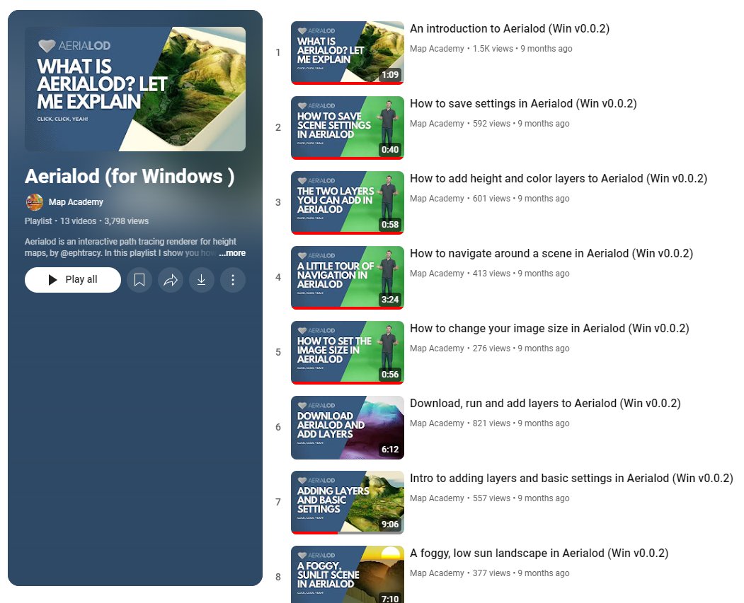
If you're on a windows machine and want to experiment with some 3D mapping, and get up to speed quickly, check out my Aerialod playlist (including first vid explaining what it is!) youtube.com/playlist?list=…

If you're on a windows machine and want to experiment with some 3D mapping, and get up to speed quickly, check out my Aerialod playlist (including first vid explaining what it is!) youtube.com/playlist?list=…
Daniel P. Huffman (@pinakographos) 's Twitter Profile Photo

New on the blog: the results of the 2024 survey of freelance mappers. Thanks to everyone who participated! somethingaboutmaps.wordpress.com/2024/10/03/202…

Andrew Tyrrell (@southarrowmaps) 's Twitter Profile Photo

Only one week to go (± time zone differences) until I’m at #NACIS2024 and I am getting some South Arrow Maps #merch sussed. Stickers, magnets, and #map postcards!!!

Daniel P. Huffman (@pinakographos) 's Twitter Profile Photo

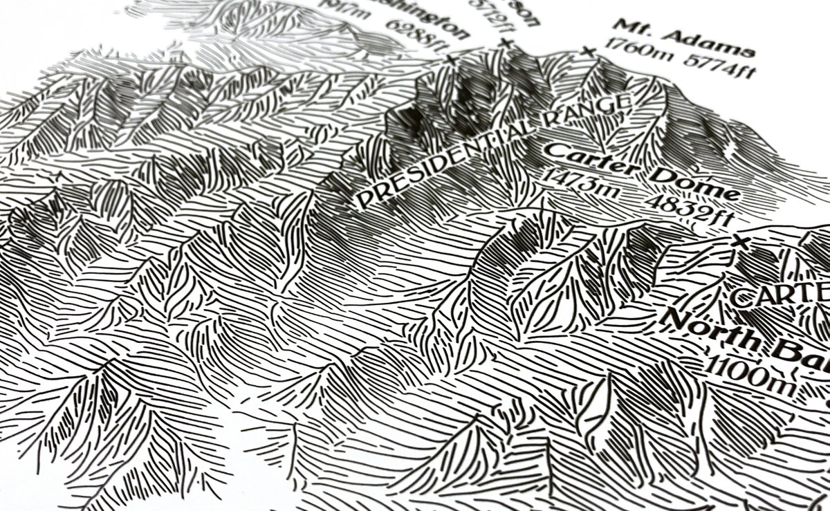
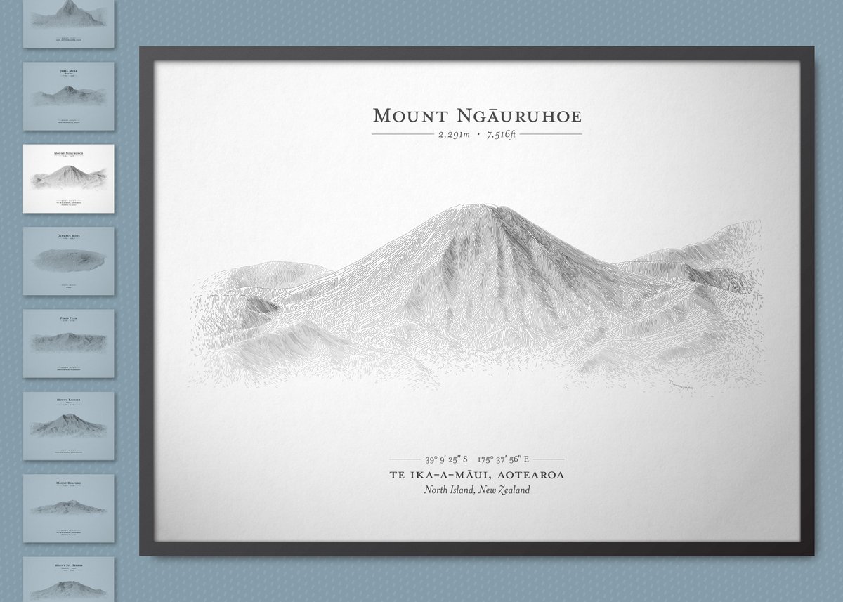
After months of work, I've created a new series of posters in a hachure style reminiscent of centuries past. Have a look: terrainlines.etsy.com If these aren't for you, but you still want to support my work, share them around! A bit more on my blog: somethingaboutmaps.wordpress.com/2024/10/29/a-n…

After months of work, I've created a new series of posters in a hachure style reminiscent of centuries past. Have a look: terrainlines.etsy.com

If these aren't for you, but you still want to support my work, share them around!

A bit more on my blog: somethingaboutmaps.wordpress.com/2024/10/29/a-n…
Daniel P. Huffman (@pinakographos) 's Twitter Profile Photo

With these final two, I'll stop spamming your timeline. Remember, if you want to see the whole set, I've put together a free little ebook: somethingaboutmaps.wordpress.com/2024/10/31/a-f…

With these final two, I'll stop spamming your timeline. Remember, if you want to see the whole set, I've put together a free little ebook: somethingaboutmaps.wordpress.com/2024/10/31/a-f…
Andrew Tyrrell (@southarrowmaps) 's Twitter Profile Photo

In my day job at Toitū Te Whenua, we've published our annual report, and I'm honoured to have designed the front cover. It shows the nautical chart of Napier Harbour, with the LiDAR point cloud tumbling in to form the terrain. Created in Blender #b3d linz.govt.nz/news/2024-10/t…

In my day job at Toitū Te Whenua, we've published our annual report, and I'm honoured to have designed the front cover.

It shows the nautical chart of Napier Harbour, with the LiDAR point cloud tumbling in to form the terrain.

Created in Blender #b3d 
linz.govt.nz/news/2024-10/t…
Andrew DC 🌈 (@andrewdc_nz) 's Twitter Profile Photo

Day 5 of #30DayMapChallenge: Journey Akaroa's Summit Rd provides beautiful views of Canterbury's Banks Peninsula, but how far can you see? This map presents what parts of the road provide the most extensive views both inside and outside the harbour 📷

Day 5 of #30DayMapChallenge: Journey

Akaroa's Summit Rd provides beautiful views of Canterbury's Banks Peninsula, but how far can you see? This map presents what parts of the road provide the most extensive views both inside and outside the harbour 📷
Andrew Tyrrell (@southarrowmaps) 's Twitter Profile Photo

I’ve just posted for the first time over on the blue butterfly site. It seems like a nice friendly bunch of people so I might post some more. I can be found at southarrowmaps.bsky.social. It’d be great to see you there! 🦋

Andrew Tyrrell (@southarrowmaps) 's Twitter Profile Photo

TIL that scale bars in ArcGIS Pro layouts are a lie, and vary depending on the rotation of the #map. This map is at a constant 1:50k scale, and is a constant size. The scale bar computes at centre. Each frame rotates the map by 1°, and well, look at how the scale bar reacts...