SoarWX (@soar_wx) 's Twitter Profile
SoarWX

@soar_wx

16 years old | aspiring meteorologist | Massachusetts | fishing addict | piano player | I like making weather forecasts for the northeastern US! | 🌪️: 1

ID: 1641914163193692160

calendar_today31-03-2023 21:24:04

4,4K Tweet

424 Followers

403 Following

SoarWX (@soar_wx) 's Twitter Profile Photo

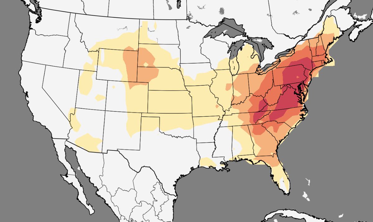
Models are showing a large ridge developing over the eastern U.S. as we head into next week. These setups often lead to an increase in severe weather potential toward the end of the pattern, and current guidance is hinting at that possibility later next week. Still far out.

Models are showing a large ridge developing over the eastern U.S. as we head into next week. These setups often lead to an increase in severe weather potential toward the end of the pattern, and current guidance is hinting at that possibility later next week. Still far out.
MarkWx (@mark_wx15) 's Twitter Profile Photo

Guidance has been favoring large-scale east coast ridging mid next week with some troughing likely upstream; the potency and timing is highly uncertain but this would be our next period to watch for NE severe weather. Until then, nothing notable on the horizon!

Guidance has been favoring large-scale east coast ridging mid next week with some troughing likely upstream; the potency and timing is highly uncertain but this would be our next period to watch for NE severe weather. Until then, nothing notable on the horizon!
SoarWX (@soar_wx) 's Twitter Profile Photo

Very saturated air in place this morning and CAPE already up to 2000 J/kg. Surprisingly strong wind shear is present, reaching 40 knots, along with respectable mid-level lapse rates. Forcing remains limited, but orographic lift could still trigger a few solid pop ups IMO.

Very saturated air in place this morning and CAPE already up to 2000 J/kg. Surprisingly strong wind shear is present, reaching 40 knots, along with respectable mid-level lapse rates. Forcing remains limited, but orographic lift could still trigger a few solid pop ups IMO.
SoarWX (@soar_wx) 's Twitter Profile Photo

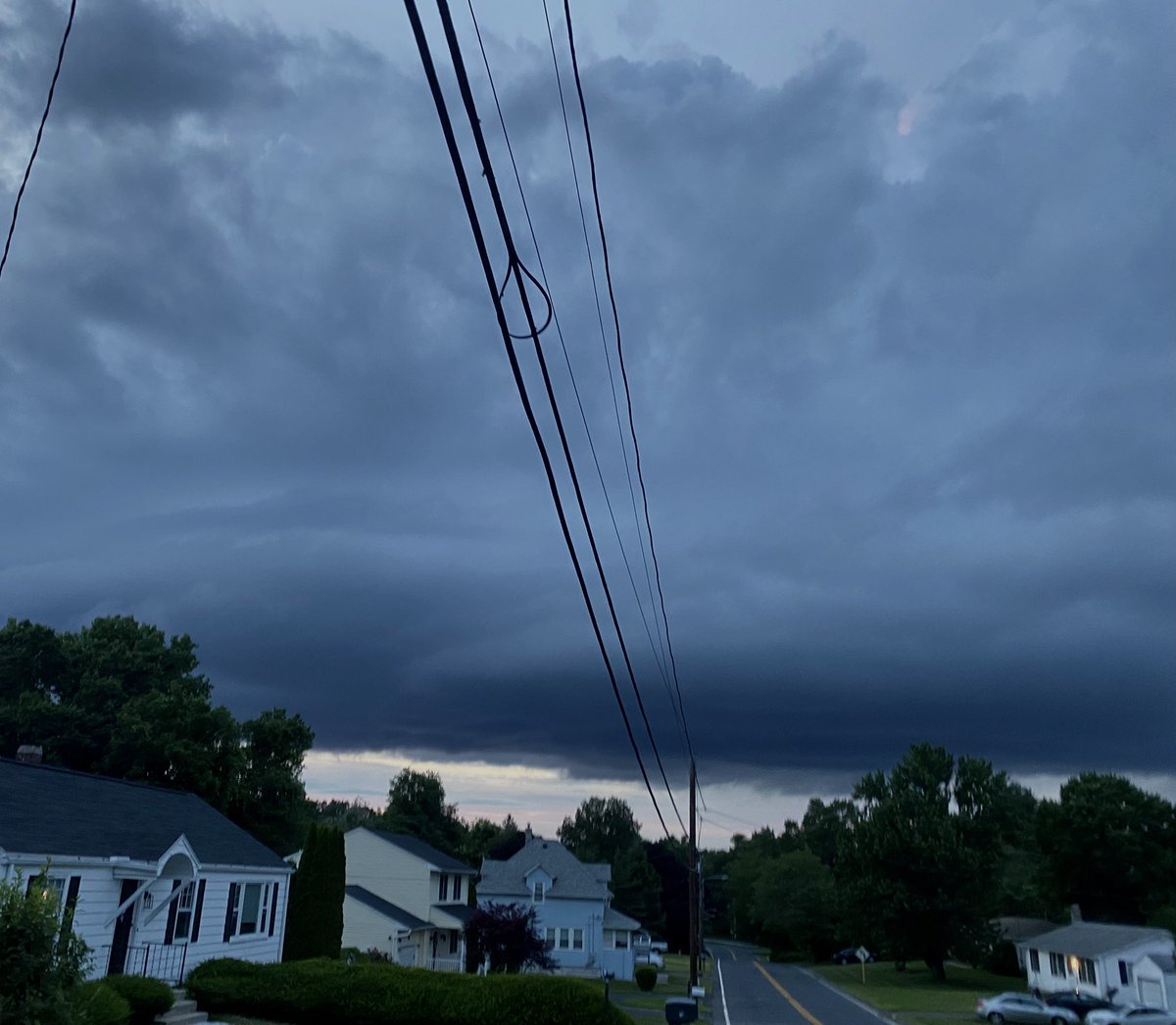
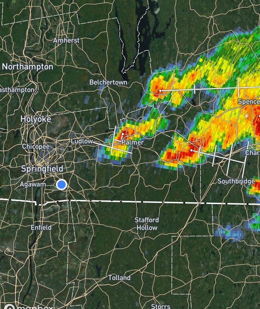
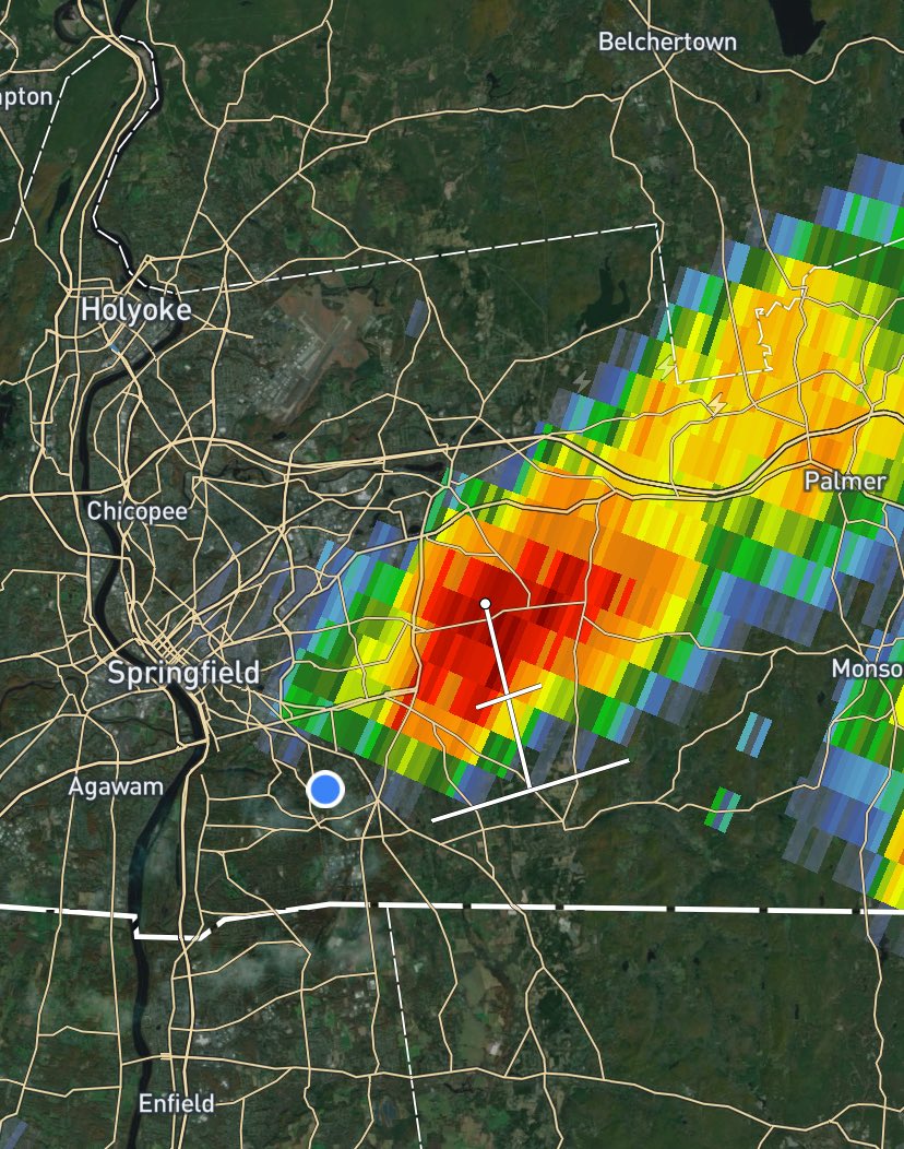
For storms generated off of orographic lift, they came together quite nicely and actually didn’t collapse as soon as they formed. This is thanks to strong wind shear and decent instability.

For storms generated off of orographic lift, they came together quite nicely and actually didn’t collapse as soon as they formed. This is thanks to strong wind shear and decent instability.
SoarWX (@soar_wx) 's Twitter Profile Photo

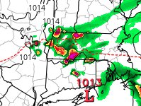
As this mess of showers and storms continues to push northeast overnight, it may spawn a weak low which could spawn some showers/thunderstorms across SNE tomorrow around dawn.

As this mess of showers and storms continues to push northeast overnight, it may spawn a weak low which could spawn some showers/thunderstorms across SNE tomorrow around dawn.
Tornado Talk (@tornado_talk) 's Twitter Profile Photo

Hamden–New Haven, CT F4 #Tornado – July 10, 1989! Part of a major Northeast outbreak, this was one of only two F4 tornadoes on record in Connecticut. It tore through Hamden, destroying 350 homes and 40 businesses. Over 30 streets were blocked by fallen trees. There were 40

Hamden–New Haven, CT F4 #Tornado – July 10, 1989! Part of a major Northeast outbreak, this was one of only two F4 tornadoes on record in Connecticut. It tore through Hamden, destroying 350 homes and 40 businesses. Over 30 streets were blocked by fallen trees. There were 40
SoarWX (@soar_wx) 's Twitter Profile Photo

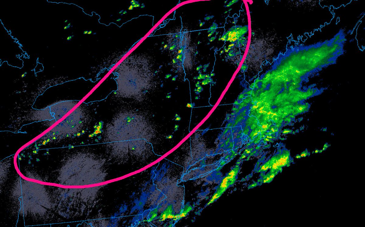
Scattered showers and thunderstorms are expected through the afternoon and evening. A few strong to severe storms are possible, mainly across northern and western areas. Storms should remain west of the coast and SNE, where an easterly flow will help stabilize the atmosphere.

Scattered showers and thunderstorms are expected through the afternoon and evening. A few strong to severe storms are possible, mainly across northern and western areas. Storms should remain west of the coast and SNE, where an easterly flow will help stabilize the atmosphere.