Regrarians® (@regrarians) 's Twitter Profile
Regrarians®

@regrarians

The world's leading farm planning & farm planning training organisation (Non-Profit) Regrarians.org

ID: 1948132998

linkhttps://linktr.ee/Regrarians calendar_today09-10-2013 00:01:22

1,1K Tweet

2,2K Takipçi

968 Takip Edilen

Regrarians® (@regrarians) 's Twitter Profile Photo

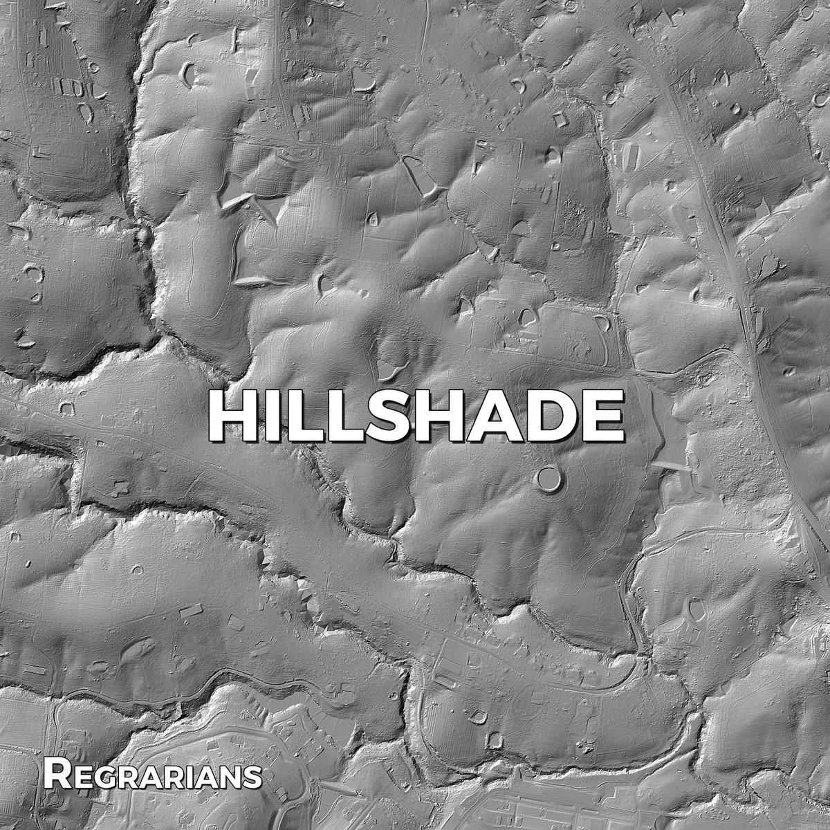
REGRARIANS BASE MAP SERVICE ~ Hillshade Map Also called ‘shaded relief’ maps, this grayscale layer is also provided to help people read the shape and form of a landscape. As these maps are all ‘layers’, you can easily turn this hillshade map on with the topo layer as another

REGRARIANS BASE MAP SERVICE 
~ Hillshade Map

Also called ‘shaded relief’ maps, this grayscale layer is also provided to help people read the shape and form of a landscape. As these maps are all ‘layers’, you can easily turn this hillshade map on with the topo layer as another
Regrarians® (@regrarians) 's Twitter Profile Photo

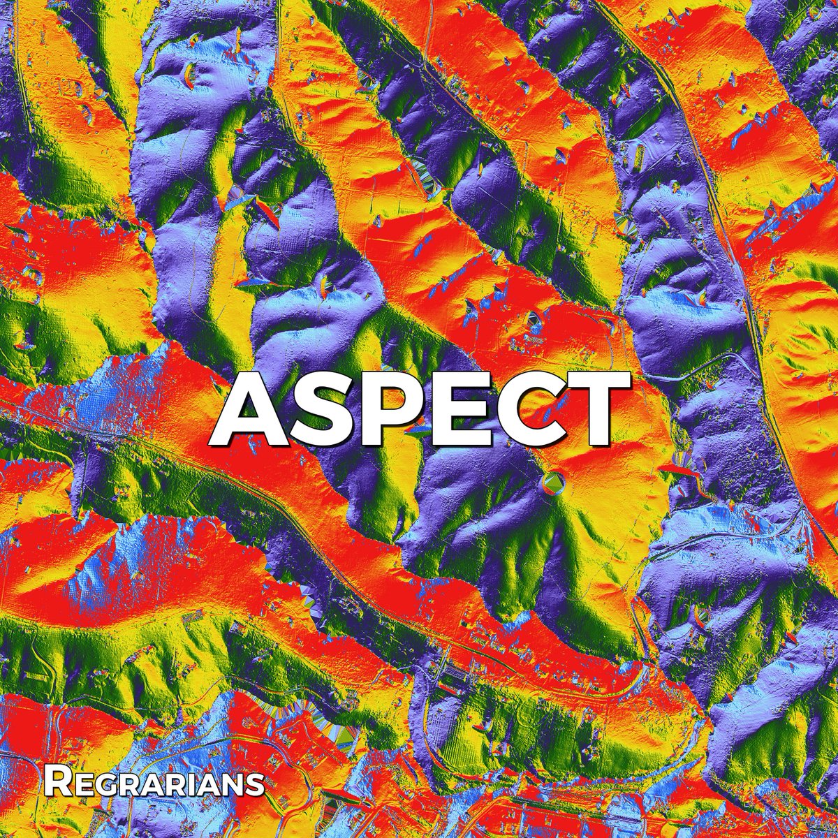
REGRARIANS BASE MAP SERVICE ~ Aspect Map Solar orientation is a major consideration in production landscape design, construction and even earthworks. The aspect map will clearly highlight the solar orientation of landscape elements. It comes with an easy to read legend for both

REGRARIANS BASE MAP SERVICE
~ Aspect Map

Solar orientation is a major consideration in production landscape design, construction and even earthworks. The aspect map will clearly highlight the solar orientation of landscape elements. It comes with an easy to read legend for both
Regrarians® (@regrarians) 's Twitter Profile Photo

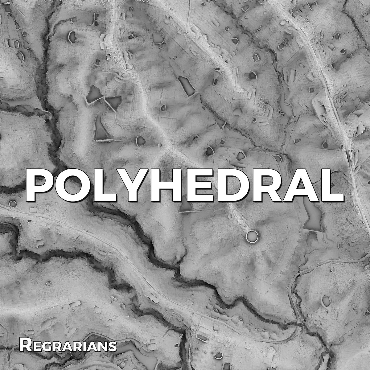
REGRARIANS BASE MAP SERVICE ~ Polyhedral Map This custom layer is similar to the Hillshade layer except that it is 3D rendered with surface displacement and ambient occlusion in order to reveal even the smallest features and details present within the available resolution of

REGRARIANS BASE MAP SERVICE 
~ Polyhedral Map

This custom layer is similar to the Hillshade layer except that it is 3D rendered with surface displacement and ambient occlusion in order to reveal even the smallest features and details present within the available resolution of
Regrarians® (@regrarians) 's Twitter Profile Photo

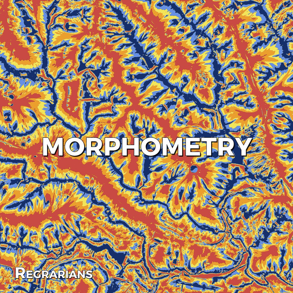
REGRARIANS BASE MAP SERVICE ~ Morphometry Map This unique custom made map helps outline landscape elements, similarly to the Landforms output but with more focus on identifying convex and concave shapes, and the transition between them. It can be incredibly useful in quickly

REGRARIANS BASE MAP SERVICE 
~ Morphometry Map

This unique custom made map helps outline landscape elements, similarly to the Landforms output but with more focus on identifying convex and concave shapes, and the transition between them. It can be incredibly useful in quickly
Regrarians® (@regrarians) 's Twitter Profile Photo

Dam Structures - 6ML Ridge Dam & Water Conservation Channels after 25 years In May of 2025 I visited a site we designed and developed back in 2000-2001 for Michael Wright on his Nulla Vale farm. Michael is quite well known in farm forestry and Landcare circles for the innovative

Regrarians® (@regrarians) 's Twitter Profile Photo

The New Regrarians Workplace Launched this Week! Thanks to the wonderful support of our friends at VMG Connect (NZ) & Workvivo - by Zoom, this week we undertook the launch of our new Workvivo-based instance of the Regrarians® Workplace. We have not lost a single post, comment, group or

The New Regrarians Workplace Launched this Week!

Thanks to the wonderful support of our friends at VMG Connect (NZ) &amp; <a href="/workvivo/">Workvivo - by Zoom</a>, this week we undertook the launch of our new Workvivo-based instance of the <a href="/Regrarians/">Regrarians®</a> Workplace.

We have not lost a single post, comment, group or
Regrarians® (@regrarians) 's Twitter Profile Photo

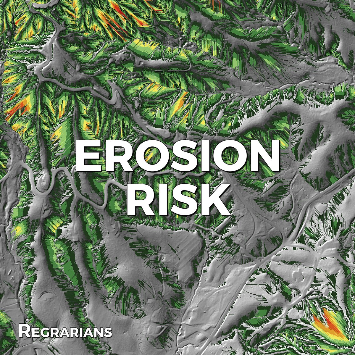
@REGRARIANS BASE MAP SERVICE ~ Erosion Risk Our algorithm will survey the watershed within the bare terrain model for potential erosion risk and highlight areas for consideration. While surface features like vegetation are not accounted for, the output can still provide useful

@REGRARIANS BASE MAP SERVICE 
~ Erosion Risk

Our algorithm will survey the watershed within the bare terrain model for potential erosion risk and highlight areas for consideration. While surface features like vegetation are not accounted for, the output can still provide useful
Regrarians® (@regrarians) 's Twitter Profile Photo

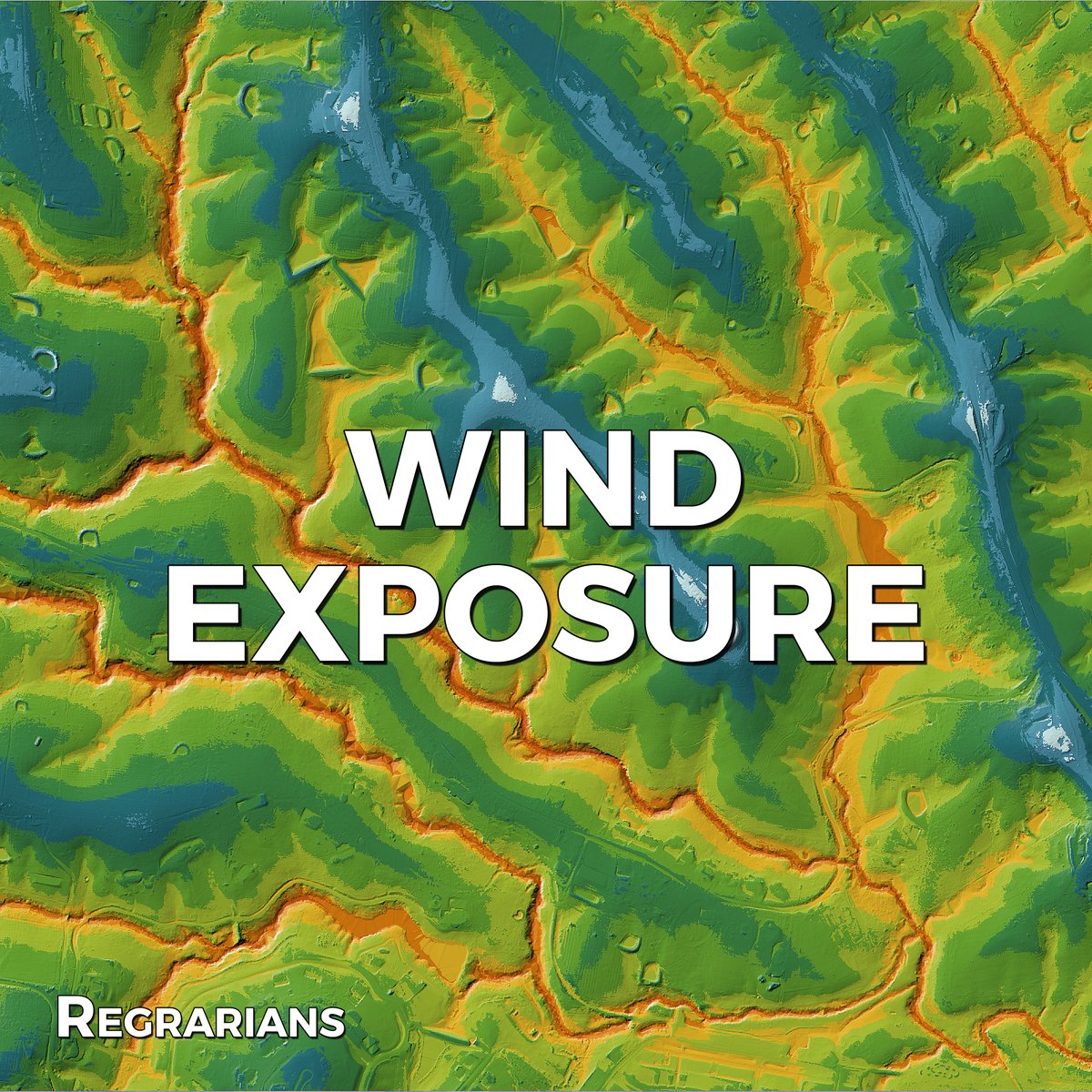
REGRARIANS BASE MAP SERVICE ~ Wind Exposure Map This map layer indicates the general degree of wind exposure for any point in the landscape. A legend is included to help with the assessment. We can also prepare a site specific wind exposure output based on the prevalent wind

REGRARIANS BASE MAP SERVICE
~ Wind Exposure Map

This map layer indicates the general degree of wind exposure for any point in the landscape. A legend is included to help with the assessment. We can also prepare a site specific wind exposure output based on the prevalent wind
Regrarians® (@regrarians) 's Twitter Profile Photo

🌍 Designing Farms for Generations Regrarians Darren J Doherty is a global leader in regenerative farm planning through Regrarians Ltd. ✅ Learn design strategies for long-term land success ✅ Restore balance and profitability ✅ Reimagine your ranch or farm as a living system

🌍 Designing Farms for Generations

Regrarians Darren J Doherty is a global leader in regenerative farm planning through Regrarians Ltd.

✅ Learn design strategies for long-term land success
✅ Restore balance and profitability
✅ Reimagine your ranch or farm as a living system
Regrarians® (@regrarians) 's Twitter Profile Photo

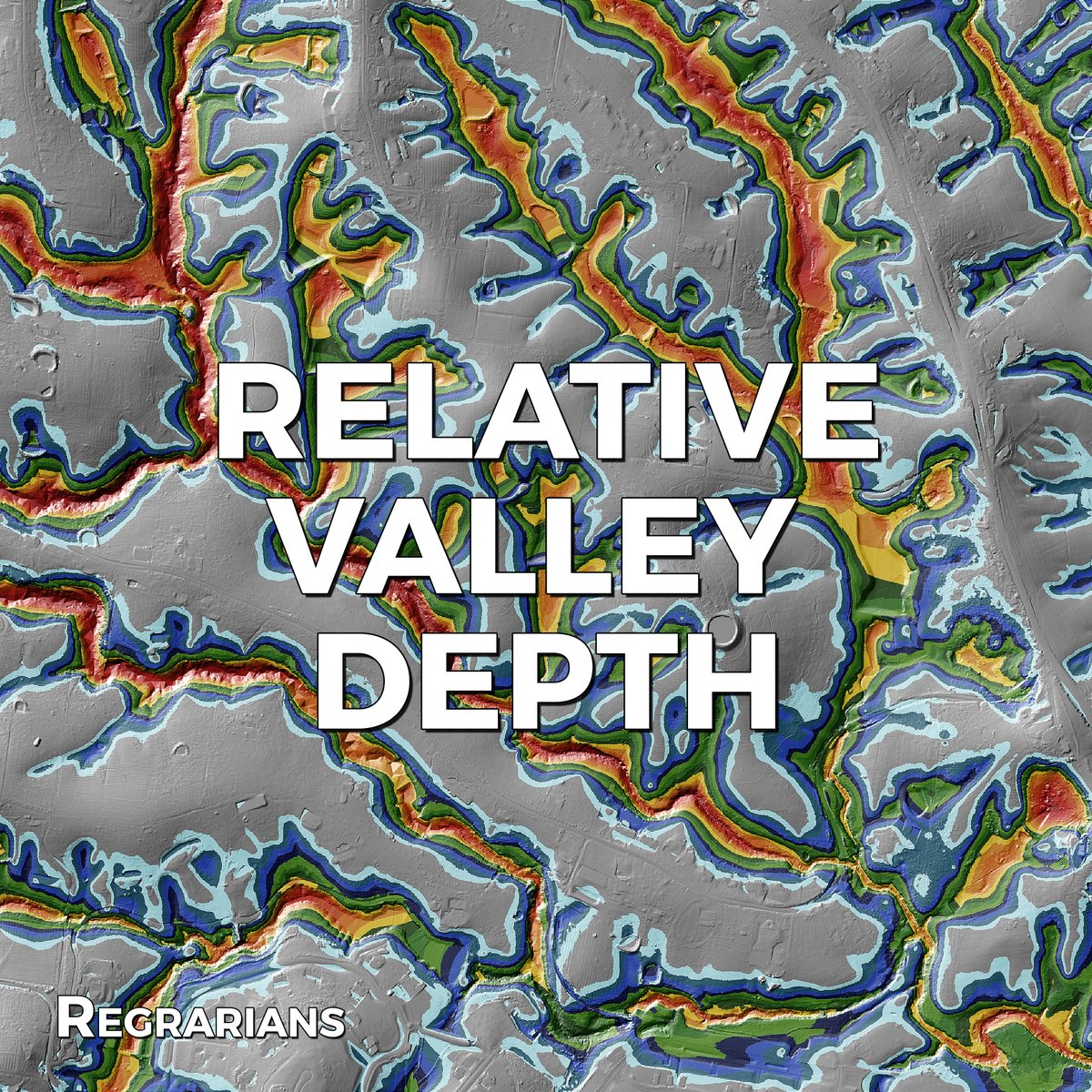
REGRARIANS BASE MAP SERVICE ~ Relative Valley Depth This output will provide you insight into the relative depth of valleys on the site - useful for identifying potential dam sites, biodiversity corridors, road crossing sites, etc. We make maps which are made for people who

REGRARIANS BASE MAP SERVICE
~ Relative Valley Depth

This output will provide you insight into the relative depth of valleys on the site - useful for identifying potential dam sites, biodiversity corridors, road crossing sites, etc.

We make maps which are made for people who
Regrarians® (@regrarians) 's Twitter Profile Photo

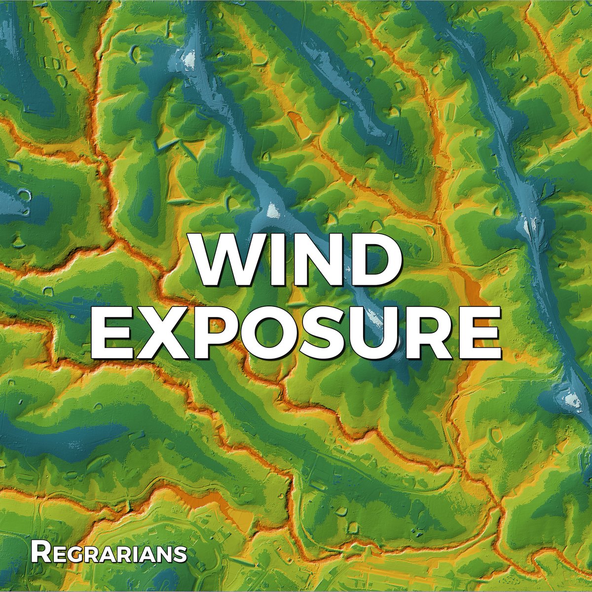
@REGRARIANS BASE MAP SERVICE ~ Wind Exposure Map This map layer indicates the general degree of wind exposure for any point in the landscape. A legend is included to help with the assessment. We can also prepare a site specific wind exposure output based on the prevalent wind

@REGRARIANS BASE MAP SERVICE
~ Wind Exposure Map

This map layer indicates the general degree of wind exposure for any point in the landscape. A legend is included to help with the assessment. We can also prepare a site specific wind exposure output based on the prevalent wind
Regrarians® (@regrarians) 's Twitter Profile Photo

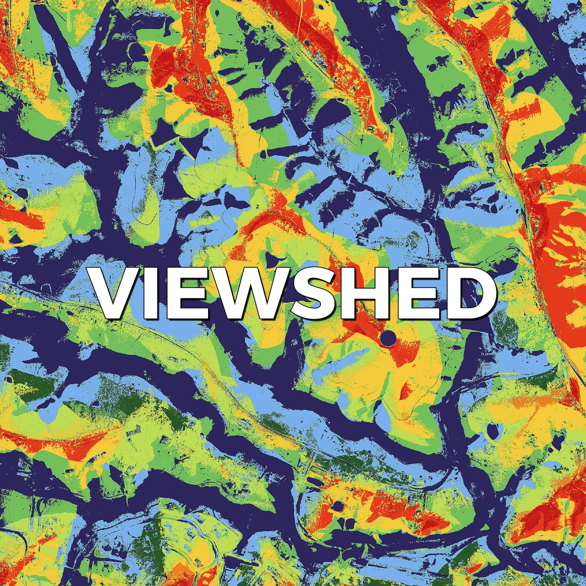
@REGRARIANS BASE MAP SERVICE ~ Viewshed Map This map layer highlights the extent to which one can see in the distance from any point in the landscape before detecting a terrain obstacle. It can help identify vistas, scenic spots, etc. Detailed legend is provided. We make maps

@REGRARIANS BASE MAP SERVICE
~ Viewshed Map

This map layer highlights the extent to which one can see in the distance from any point in the landscape before detecting a terrain obstacle. It can help identify vistas, scenic spots, etc. Detailed legend is provided.

We make maps
Regrarians® (@regrarians) 's Twitter Profile Photo

Farm Planning for Agroforestry Conference - 6 months free Overyield! Just yesterday I suggested to the team at Propagate that they might consider offering a discount to their incredible Overyield farm planning for agroforestry software (cli.re/Overyield) for those

Farm Planning for Agroforestry Conference - 6 months free Overyield!

Just yesterday I suggested to the team at Propagate that they might consider offering a discount to their incredible Overyield farm planning for agroforestry software (cli.re/Overyield) for those
Regrarians® (@regrarians) 's Twitter Profile Photo

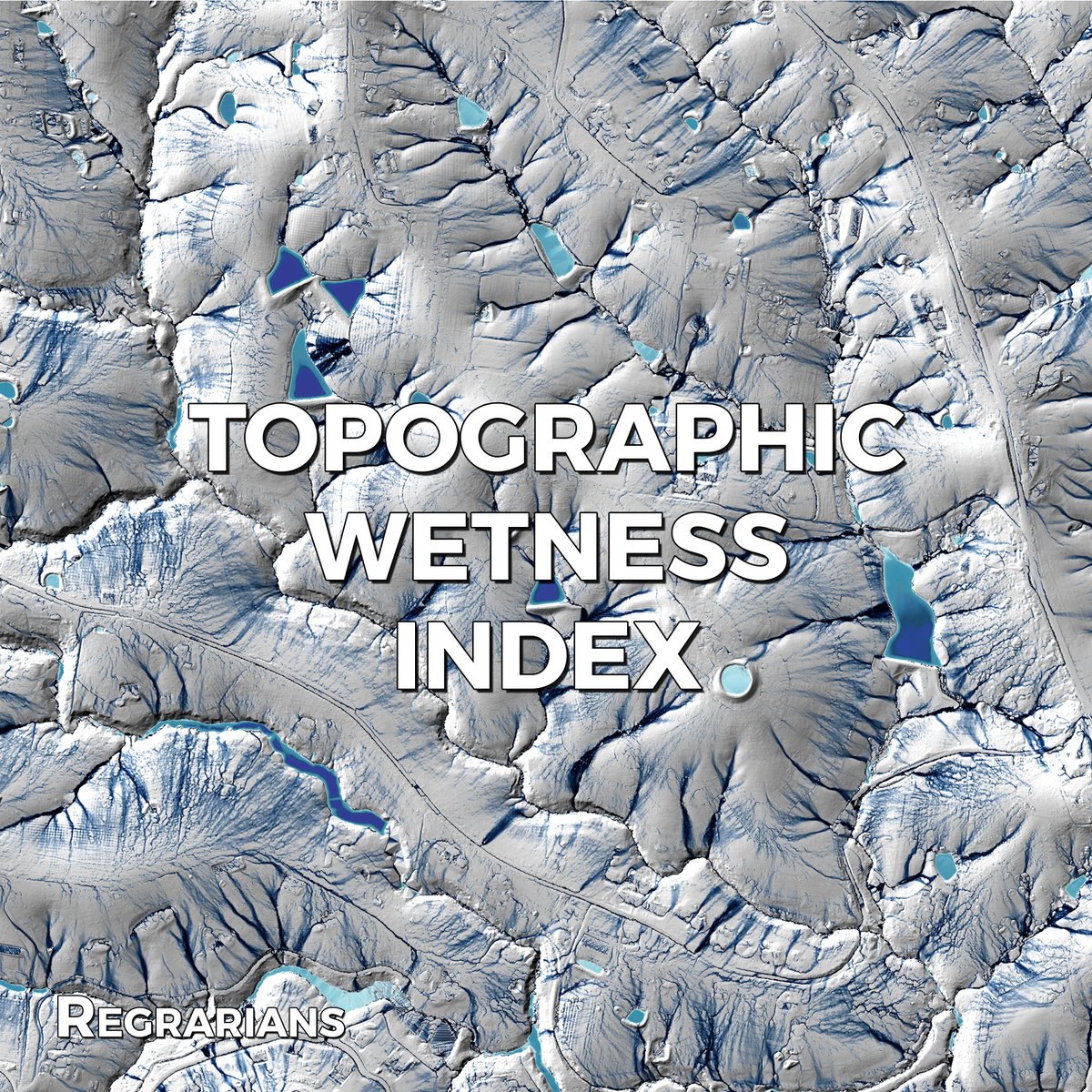
@REGRARIANS BASE MAP SERVICE ~Topographic Wetness Index Map This map layer indicates where water may be subject to periodic inundation and flooding—another useful form of analysis for planning where to place specific elements (or not) or engage in certain land uses (or not) in

@REGRARIANS BASE MAP SERVICE
~Topographic Wetness Index Map

This map layer indicates where water may be subject to periodic inundation and flooding—another useful form of analysis for planning where to place specific elements (or not) or engage in certain land uses (or not) in
Regrarians® (@regrarians) 's Twitter Profile Photo

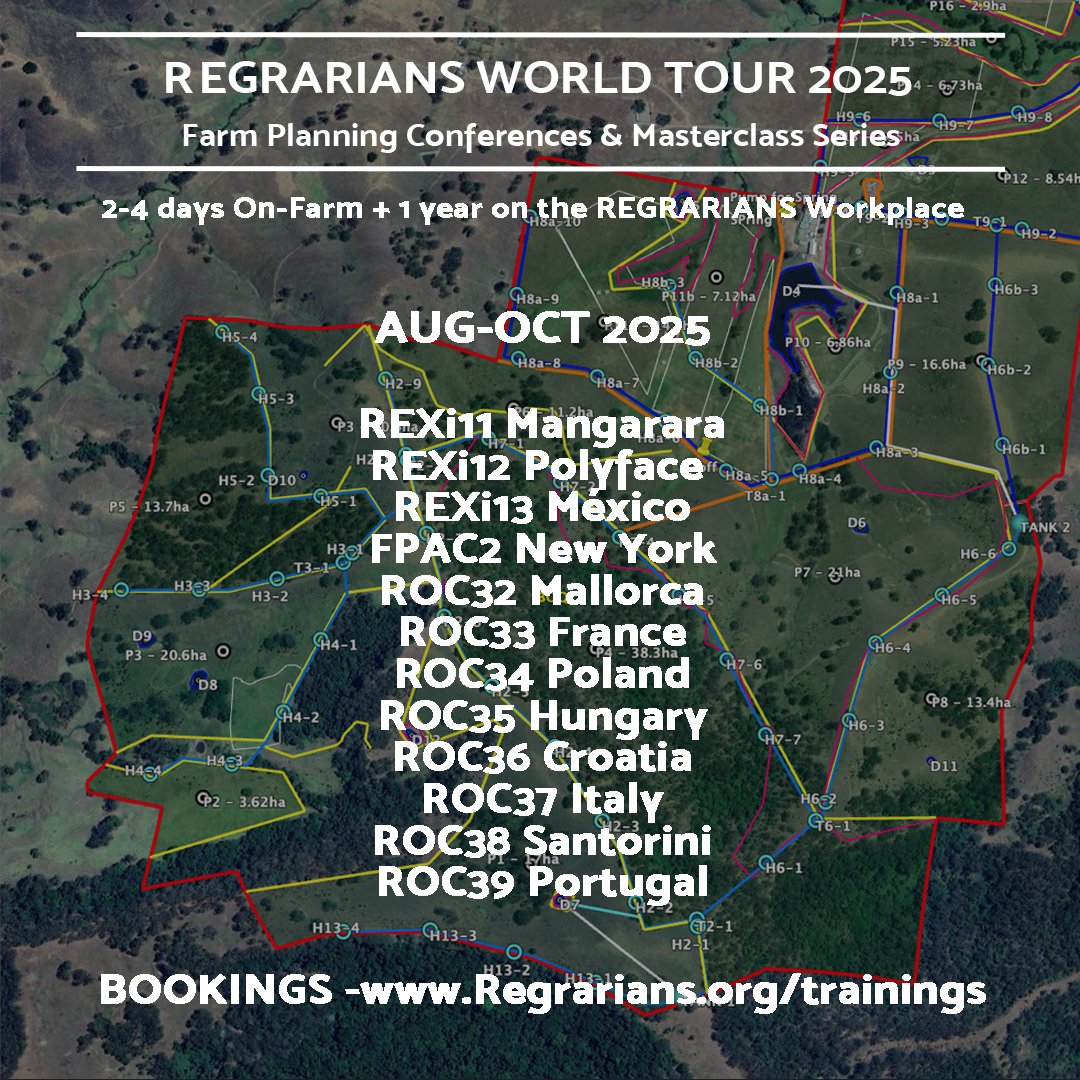
2025 @REGRARIANS WORLD TOUR UPDATE - FLIGHTS BOOKED!! Thanks to all of the folks who have booked into one of the 12 events scheduled on our upcoming 12 week tour as this has allowed us to book the flights! We haven't done a tour of this scale since 2019 and the world has

2025 @REGRARIANS WORLD TOUR UPDATE - FLIGHTS BOOKED!! 

Thanks to all of the folks who have booked into one of the 12 events scheduled on our upcoming 12 week tour as this has allowed us to book the flights!

We haven't done a tour of this scale since 2019 and the world has
Regrarians® (@regrarians) 's Twitter Profile Photo

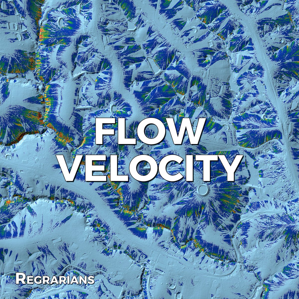
REGRARIANS BASE MAP SERVICE ~Flow Velocity Map This map highlights areas that have the potential for increasingly high runoff velocity and thereby potential for exponentially more severe erosion than other areas. We make maps which are made for people who don’t use maps. Maps

REGRARIANS BASE MAP SERVICE
~Flow Velocity Map

This map highlights areas that have the potential for increasingly high runoff velocity and thereby potential for exponentially more severe erosion than other areas. 

We make maps which are made for people who don’t use maps. Maps
Regrarians® (@regrarians) 's Twitter Profile Photo

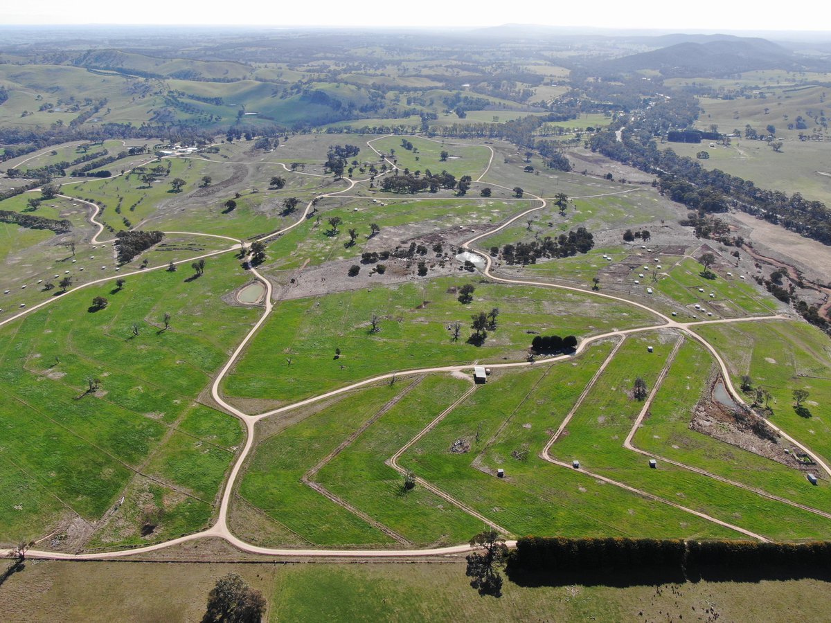
Planned Grazing - McIvor Farm Foods - 7 August 2025 Flyover Today I met with Belinda & Jason Hagan at their farm in what is our 15th year of working together. It's been a comparatively dry winter and there is a very stark difference between their operation and those adjacent

Planned Grazing - McIvor Farm Foods - 7 August 2025 Flyover

Today I met with Belinda &amp; Jason Hagan at their farm in what is our 15th year of working together.

It's been a comparatively dry winter and there is a very stark difference between their operation and those adjacent
Regrarians® (@regrarians) 's Twitter Profile Photo

Silviculture - Farm Forestry Plantings Progress 24 years on Regrarians® Darren J. Doherty designed these plantings at Nulla Vale in central Victoria in 2001. And this is his first decent walk through them since they were established. This particular section of the holding has