Dr. Mirela G. Tulbure 🛰 🌎 + 🐍 + 🌊
@mirelagtulbure
Earth Observation scientist 🛰 🌎 | Machine learning & Python 🤖 🧠🐍 for surface water, flooding & reservoir dynamics w satellites 🌊 | Prof @NCSUgeospatial
ID: 1627514622
https://bsky.app/profile/mirelagtulbure.bsky.social 28-07-2013 09:57:19
3,3K Tweet
2,2K Followers
1,1K Following


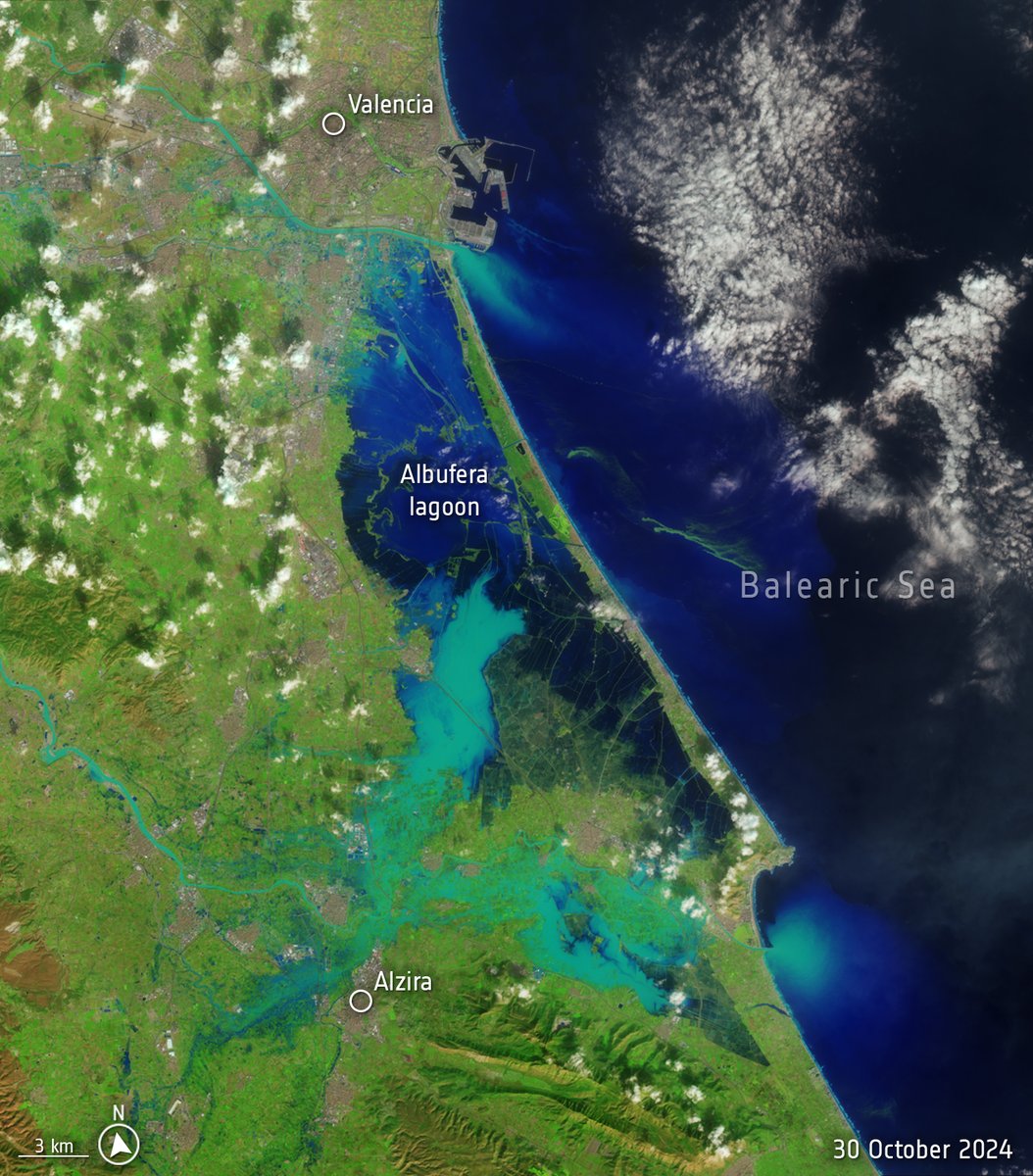
The scale of the flooding in Valencia, Spain is pretty insane - the region received a year’s worth of rain in just eight hours. Satellite images from USGS Landsat and processed by ESA Earth Observation.


Looking forward to your forum, 🇧🇿 Belize GEO 🛰️

Wonderful reconnecting with 🇧🇿 Belize GEO 🛰️ (Dr. Emil Cherrington) after 5 years! His inspiring talk at GIS Week NC State Center for Geospatial Analytics highlighted SERVIR Global 's work using #EarthObservation & #GoogleEarthEngine in decision-making, plus his journey into a geospatial career. 🚀🌍 #Geospatial


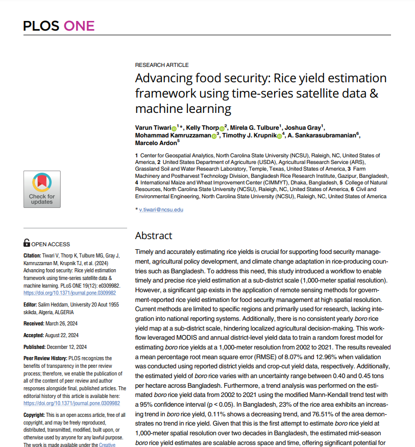
New study in PLOS ONE! We used 20 years of satellite data + ML to estimate rice yields in Bangladesh, enhancing food security. Collab with NC State University, Dept. of Agriculture, CIMMYT, & BRRI. journals.plos.org/plosone/articl… #FoodSecurity #MachineLearning #AGU2024
