MapTiler (@maptiler) 's Twitter Profile
MapTiler

@maptiler

Maps 🗺️ and software for building digital maps, which you can customize and integrate with websites and mobile apps. Join the revolution in web cartography!

ID: 46369870

linkhttp://MapTiler.com calendar_today11-06-2009 11:48:44

3,3K Tweet

4,4K Followers

748 Following

MapTiler (@maptiler) 's Twitter Profile Photo

Watch Rob Smith from Away Team Software explain the new OGC standard Web Video Map Tracks (WebVMT) for synchronizing location with video for the web. Check the video at maptiler.link/4dUYud2
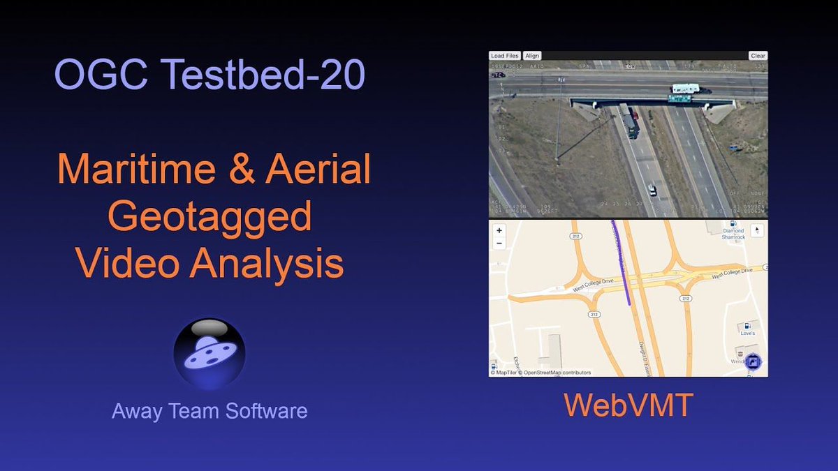
Watch Rob Smith from <a href="/away_team/">Away Team Software</a> explain the new OGC standard Web Video Map Tracks (WebVMT) for synchronizing location with video for the web. Check the video at maptiler.link/4dUYud2
MapTiler (@maptiler) 's Twitter Profile Photo

Show detailed architectural or civil engineering meshes & point clouds on maps. The MapTiler #3D module handles multiple complex models, helping users visualize the scale and location of the structures. Check out this code sample: maptiler.link/43dVHHd

Kyle Walker (@kyle_e_walker) 's Twitter Profile Photo

If you need a professional basemap for your MapLibre maps, MapTiler is an excellent option. Choose from a range of dataviz-optimized styles, many of which include light, dark, and pastel variants. In #rstats {mapgl}: use the `maptiler_style()` function for streamlined access!

If you need a professional basemap for your <a href="/maplibre/">MapLibre</a> maps, <a href="/MapTiler/">MapTiler</a> is an excellent option.

Choose from a range of dataviz-optimized styles, many of which include light, dark, and pastel variants.

In #rstats {mapgl}: use the `maptiler_style()` function for streamlined access!
MapTiler (@maptiler) 's Twitter Profile Photo

Use the power of maps to add context to your video stories. @Jayasim's captivating crime series on YouTube brings each case to life by showing where it all happened. MapTiler maps are used to guide the viewer! See how maps elevate the narrative: maptiler.link/4jZJWdJ

Use the power of maps to add context to your video stories. @Jayasim's captivating crime series on YouTube brings each case to life by showing where it all happened. MapTiler maps are used to guide the viewer!

See how maps elevate the narrative: maptiler.link/4jZJWdJ
MapTiler (@maptiler) 's Twitter Profile Photo

Have a look at the enhanced coastlines on our Landscape #map style! We’ve introduced our land gradient layer, created by our expert cartographers, to give you the highest quality basemaps. Find out more at: maptiler.link/4kNMsEz

Have a look at the enhanced coastlines on our Landscape #map style!  We’ve introduced our land gradient layer, created by our expert cartographers, to give you the highest quality basemaps. Find out more at:  maptiler.link/4kNMsEz
MapTiler (@maptiler) 's Twitter Profile Photo

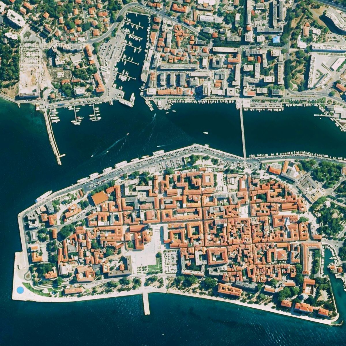
Aerial imagery of Croatia at 50 cm/px resolution lets you explore the Adriatic coast in remarkable detail. Stroll through the streets of Dubrovnik, uncover the Roman ruins of Pula, or take in the historic charm of Zadar from a bird’s-eye view. See it at maptiler.link/4mThOf3

Aerial imagery of Croatia at 50 cm/px resolution lets you explore the Adriatic coast in remarkable detail. Stroll through the streets of Dubrovnik, uncover the Roman ruins of Pula, or take in the historic charm of Zadar from a bird’s-eye view. See it at maptiler.link/4mThOf3
MapTiler (@maptiler) 's Twitter Profile Photo

Maps for #DataVisualisation: Our #Dataviz map style highlights the data you put on top. It’s simple, elegant, and ideal for dashboards. Available in color, light, and dark variants! Find out more: maptiler.link/3T0fB3A

MapTiler (@maptiler) 's Twitter Profile Photo

Explore Canada’s 10 biggest cities — from Ottawa and Edmonton to Vancouver — with stunning 7.5 cm/px resolution aerial imagery. See the vibrant streets and cityscapes like never before. Check it out yourself at maptiler.link/4n5v4gA

Explore Canada’s 10 biggest cities — from Ottawa and Edmonton to Vancouver — with stunning 7.5 cm/px resolution aerial imagery. See the vibrant streets and cityscapes like never before. Check it out yourself at maptiler.link/4n5v4gA
MapTiler (@maptiler) 's Twitter Profile Photo

For #maps that exude quality, add a hand-drawn hillshade layer with just a few clicks! Follow this guide: maptiler.link/3FIZjZR

For #maps that exude quality, add a hand-drawn hillshade layer with just a few clicks!  Follow this guide: maptiler.link/3FIZjZR
MapTiler (@maptiler) 's Twitter Profile Photo

Berlin, Brandenburg, Saxony (Sachsen), Saxony-Anhalt (Sachsen-Anhalt), and Mecklenburg-Vorpommern are now covered by recent aerial imagery from 2022 - 2024. Read more about this and other recent updates of the aerial map of Germany: maptiler.link/40qfORz

Berlin, Brandenburg, Saxony (Sachsen), Saxony-Anhalt (Sachsen-Anhalt), and Mecklenburg-Vorpommern are now covered by recent aerial imagery from 2022 - 2024. Read more about this and other recent updates of the aerial map of Germany: maptiler.link/40qfORz
MapTiler (@maptiler) 's Twitter Profile Photo

Attending the #devbcn25 conference in Barcelona? Meet our dev expert wladimir szczerban there for a discussion about maps, geotechnologies, or just a nice conversation! Look for him in a purple MapTiler t-shirt.

MapTiler (@maptiler) 's Twitter Profile Photo

Location searching in critical applications must be available at all times & cannot rely on an internet connection. MapTiler Server 4.7 enables offline hosting of maps with a search box, providing a reliable platform at times of uncertainty. Find out more: maptiler.link/44j03gn

Location searching in critical applications must be available at all times &amp; cannot rely on an internet connection. MapTiler Server 4.7 enables offline hosting of maps with a search box, providing a reliable platform at times of uncertainty. Find out more: maptiler.link/44j03gn
MapTiler (@maptiler) 's Twitter Profile Photo

A #map style made to let your data shine, especially on #dashboards! Explore #Dataviz, available in muted colors or dark & light variants. Get TMS files for #Tableau or XYZ, TileJSON, and WMTS files for other data visualization software. Read more: maptiler.link/3T0fB3A

A #map style made to let your data shine, especially on #dashboards! Explore #Dataviz, available in muted colors or dark &amp; light variants. Get TMS files for #Tableau or XYZ, TileJSON, and WMTS files for other data visualization software. Read more: maptiler.link/3T0fB3A