mapsdotcom (@mapsdotcom) 's Twitter Profile
mapsdotcom

@mapsdotcom

We curate the world’s most compelling maps to help you navigate topics affecting the planet and everyone who lives here. Submit your maps for consideration!

ID: 18979506

linkhttp://maps.com calendar_today14-01-2009 15:23:57

1,1K Tweet

2,2K Followers

728 Following

mapsdotcom (@mapsdotcom) 's Twitter Profile Photo

The advent of nuclear weapons changed human history. Their numbers have declined, but thousands of nuclear weapons still exist around the world today. Watch our latest animation to see how nuclear arsenals have changed between 1945-2023: maps.com/nuclear-stockp… #maps #dataviz

The advent of nuclear weapons changed human history.

Their numbers have declined, but thousands of nuclear weapons still exist around the world today.

Watch our latest animation to see how nuclear arsenals have changed between 1945-2023: maps.com/nuclear-stockp…

#maps #dataviz
mapsdotcom (@mapsdotcom) 's Twitter Profile Photo

Fueled by a dry spring, warm temperatures, and high winds, wildfires in Canada have burned large swaths of land. They've also brought a smoky pall and air quality alerts to the United States. maps.com/canadian-smoke…

mapsdotcom (@mapsdotcom) 's Twitter Profile Photo

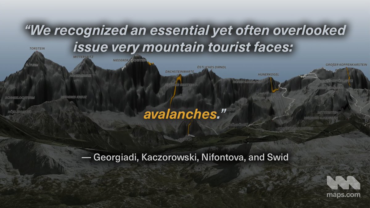
We're Back to the Map with Athina Georgiadi, Jakub Kaczorowski, Kseniia Nifontova, and Itay Swid to talk about the challenges of mapping in oblique perspective and conveying the dangers that can come with hiking in the Alpine region. maps.com/how-to-make-a-…

We're Back to the Map with Athina Georgiadi, Jakub Kaczorowski, Kseniia Nifontova, and Itay Swid to talk about the challenges of mapping in oblique perspective and conveying the dangers that can come with hiking in the Alpine region.

maps.com/how-to-make-a-…
mapsdotcom (@mapsdotcom) 's Twitter Profile Photo

See the birthplace of every player selected in the first round of the NBA draft between 1989 and 2024: maps.com/nba-draft-map-…

mapsdotcom (@mapsdotcom) 's Twitter Profile Photo

Every four years, the American Society of Civil Engineers (ASCE) publishes a report card about the state of infrastructure in the US. ASCE partnered with Esri to create a set of maps to accompany the 2025 report card: maps.com/infrastructure…

Every four years, the American Society of Civil Engineers (ASCE) publishes a report card about the state of infrastructure in the US.

ASCE partnered with <a href="/Esri/">Esri</a> to create a set of maps to accompany the 2025 report card: maps.com/infrastructure…
mapsdotcom (@mapsdotcom) 's Twitter Profile Photo

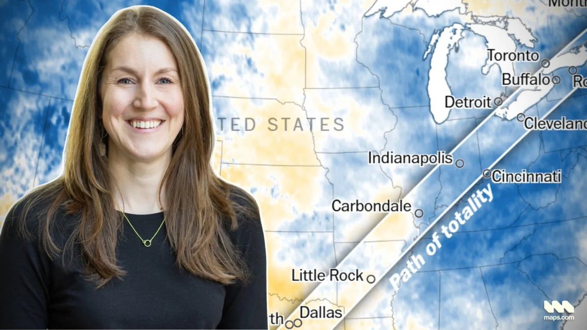
Maps are used across various types of news stories. They range from weather forecasts and locators for breaking news to explainers, deep dives, and months-long investigations. Learn more about maps in the newsroom with Lauren Tierney, formerly with The Washington Post:

Maps are used across various types of news stories. They range from weather forecasts and locators for breaking news to explainers, deep dives, and months-long investigations.

Learn more about maps in the newsroom with Lauren Tierney, formerly with The Washington Post:
mapsdotcom (@mapsdotcom) 's Twitter Profile Photo

Where's the best place to see the northern lights? Harry Kuril used maps to find out. A great combination of scientific data analysis and gorgeous cartography: maps.com/using-maps-pin…

Where's the best place to see the northern lights? Harry Kuril used maps to find out.

A great combination of scientific data analysis and gorgeous cartography: maps.com/using-maps-pin…
mapsdotcom (@mapsdotcom) 's Twitter Profile Photo

Atlas Guo (Atlas (Chenxiao) Guo) designed a stunning map of natural disasters in the US. In our latest Back to the Map, we explore Atlas' work and his approach to cartography. maps.com/atlas-guo-disc…

Atlas Guo (<a href="/CartoGuophy/">Atlas (Chenxiao) Guo</a>) designed a stunning map of natural disasters in the US.

In our latest Back to the Map, we explore Atlas' work and his approach to cartography.

maps.com/atlas-guo-disc…
mapsdotcom (@mapsdotcom) 's Twitter Profile Photo

On a technical level, maps are typically drawn from points, lines, and polygons. Abu Dembélé took things even further and drew this map of Salt Lake City from just one line. maps.com/one-line-map-o…

mapsdotcom (@mapsdotcom) 's Twitter Profile Photo

Piracy still happens in the modern world. The US Office of Naval Intelligence has tracked more than 8,000 piracy events since 2000. See the full record and map at: maps.com/animated-pirac…

mapsdotcom (@mapsdotcom) 's Twitter Profile Photo

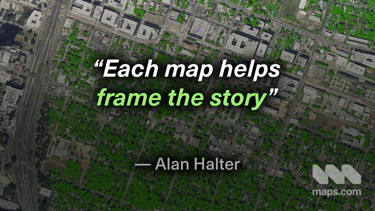
We caught up with Alan Halter to talk about his work cataloging tree canopy cover in Austin, Texas. Read more in Back to the Map: maps.com/back-to-the-ma…

We caught up with Alan Halter to talk about his work cataloging tree canopy cover in Austin, Texas.

Read more in Back to the Map: maps.com/back-to-the-ma…
mapsdotcom (@mapsdotcom) 's Twitter Profile Photo

K2 and Everest are two of Earth's tallest mountains. They are part of an elite group known as the Eight-Thousanders. Learn more about all 14 of the 8000-meter peaks in our latest video: maps.com/animated-8000e…

mapsdotcom (@mapsdotcom) 's Twitter Profile Photo

This map is not upside down. Why do we expect north to be on top? What happens when it's not? And has north always been 'up?' This beautiful map from Rob Simmon provides some cartographic food for thought: maps.com/this-map-is-no…

This map is not upside down.

Why do we expect north to be on top? What happens when it's not? And has north always been 'up?'

This beautiful map from <a href="/rsimmon/">Rob Simmon</a> provides some cartographic food for thought: maps.com/this-map-is-no…
mapsdotcom (@mapsdotcom) 's Twitter Profile Photo

In 2011, a magnitude 9.0 earthquake struck off the coast of Japan. A tsunami and a partial meltdown of the Fukushima Daichii nuclear plant followed. This map by Jack Scrivani tracks the radiation forecast around Fukushima between 2011-2016: maps.com/fukushima-radi…

mapsdotcom (@mapsdotcom) 's Twitter Profile Photo

Plants and trees contain chlorophyll, carotenoids, and anthocyanins. These pigments can indicate where and how well vegetation is thriving. NASA's PACE satellite can measure these pigments every 1-2 days. Once mapped, the results are stunning! maps.com/see-a-palette-…

mapsdotcom (@mapsdotcom) 's Twitter Profile Photo

The command line is a powerful tool. And now, you can render interactive, explorable maps of the whole world in the terminal. MapSCII draws a map in the console using only ASCII characters: maps.com/cartography-in…

The command line is a powerful tool. And now, you can render interactive, explorable maps of the whole world in the terminal.

MapSCII draws a map in the console using only ASCII characters: maps.com/cartography-in…