Linda Toča
@linda_toca
PhD | Geospatial Lead @ArbonicsHQ
ID: 116285034
21-02-2010 22:11:47
1,1K Tweet
570 Takipçi
437 Takip Edilen


The warm and dry weather is definitely taking its toll! James Hutton Institute peatland monitoring site at Balmoral Estate looking very dry yesterday.


Happy to announce that I passed my #PhD #viva today with minor corrections! 🥳🥂 Thank you to Angela Harris and @ChrisJMerchant for a great viva and to my all-star supervisory team Tristan Quaife, @ArtzRebekka, Alessandro Gimona and Keith. Doctoral and Researcher College, Uni of Reading




The essential "I'm so very excited to be here!" photo. And the IEEE IGARSS sunglasses were perfect for my sunny stroll through Pasadena before the afternoon's workshop. #IGARSS2023



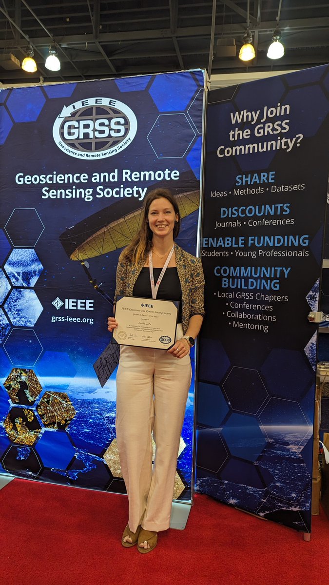
1st place at #IGARSS2023 GeoPitch challenge! 🥳 Thank you IEEE Geoscience and Remote Sensing Society and awesome pitches everyone.

#Peatlands can come in various sizes, from small pockets to vast expanses of #blanketbog, meaning it’s not always easy to monitor and restore. We have been investigating a technique using radar data from European Space Agency satellites to monitor conditions.🛰️ More: bit.ly/462A6B4




We were delighted to host BBC Scotland 's Dougie Vipond out on the hillside at #Balmoral 🏔️ to learn about the pioneering work our peatland team is doing. Tune in to #Landward tonight at 8.30pm to find out more - there's more to these hills than you think. bbc.co.uk/programmes/m00…


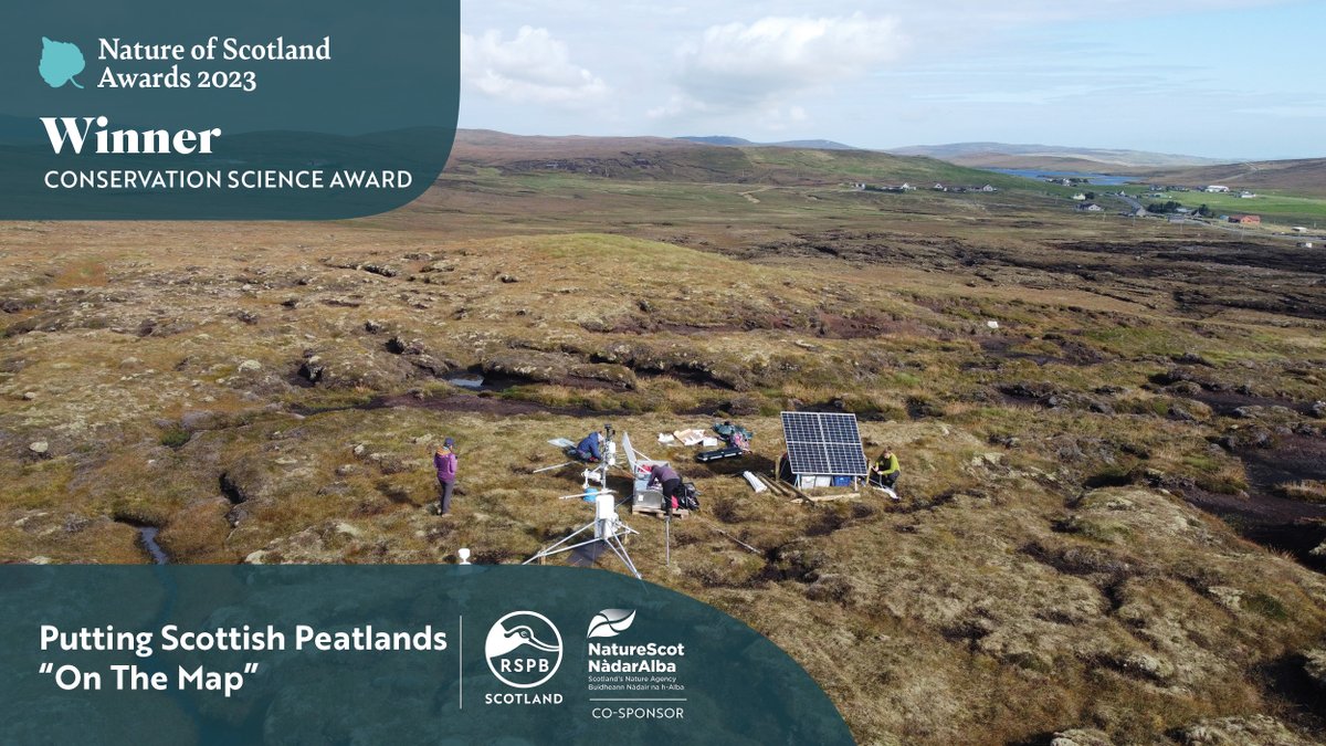
Congratulations to our fabulous multidisciplinary #peatland team – the reach & impact of their work, putting - peatland on the map - won the 2023 #NatureOfScotland Conservation Science Award during the RSPB Scotland event in #Edinburgh last night 🏅 More: bit.ly/3Ra765Y


Made one quick but important visit to Uni of Reading last week! 4 years, 3 international conferences, 2 published scientific papers, 1 pandemic, and a long PhD thesis later, I am Dr Linda Toča #PhDone


Fantastic feature in AWE International, covering the research of Linda Toča from ICS James Hutton. Linda's work involves using satellite radar data to monitor water table depth, to help understand the health of our #peatlands. More: bit.ly/3U2u9l8
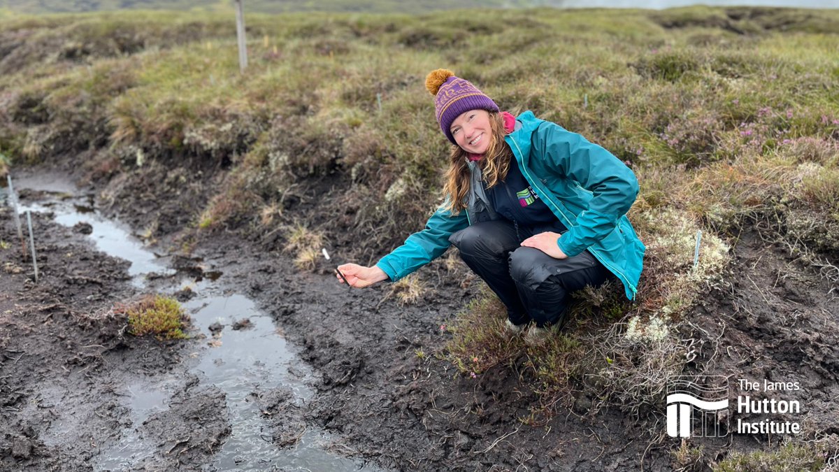



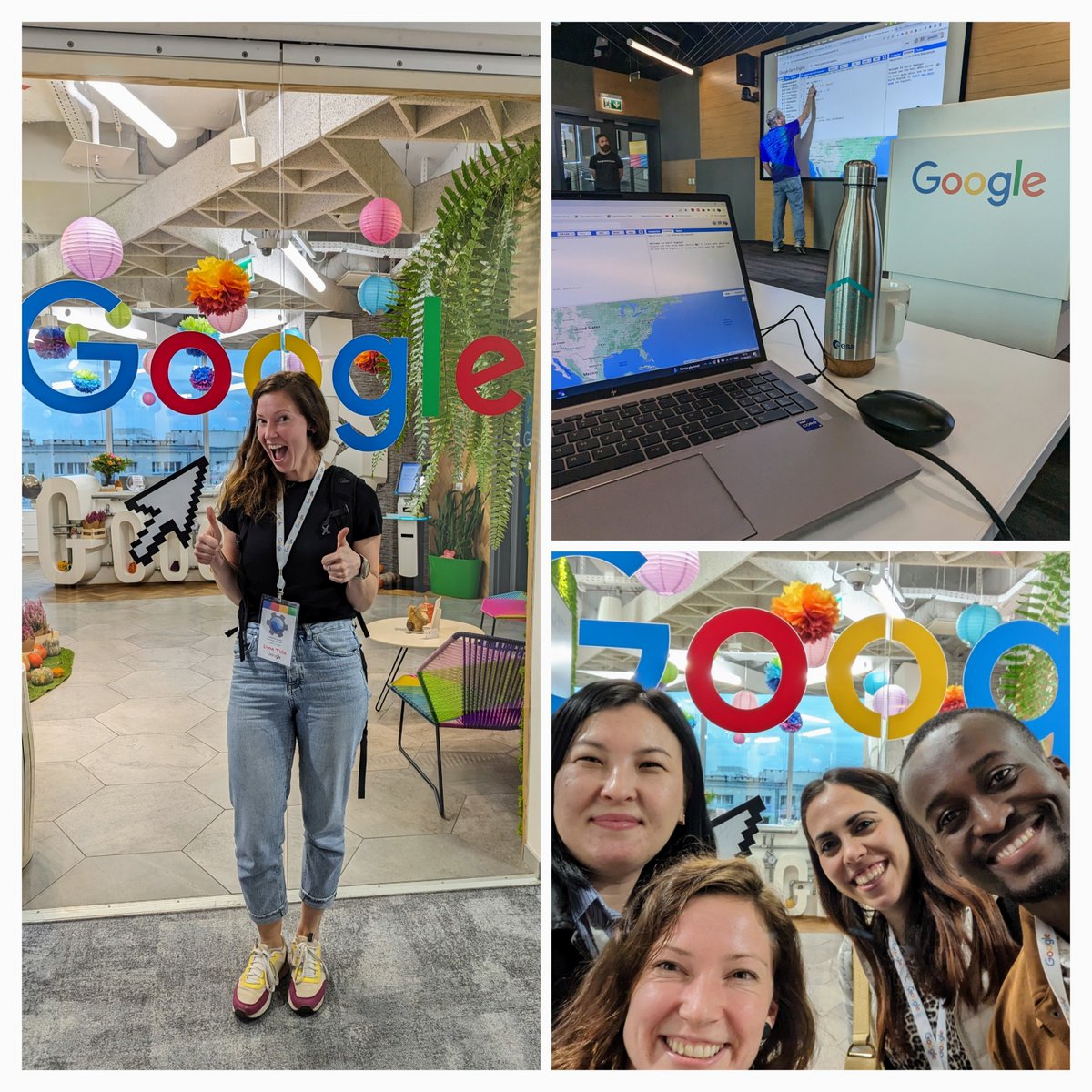
Day 1 of EGU started with an extra talk at the most beautiful booth of the conference 💚 Thank you Justin Braaten and Google Earth Outreach for the opportunity #EGU2024 #GEE


