Beating The Bounds
@ldn_boundaries
Study group for boundary markers, maps and insignia of (mostly vanished) local authorities in the Metropolis (AKA London).
ID: 1534190173809950720
07-06-2022 15:07:16
448 Tweet
584 Followers
295 Following


Map based on a 1735 survey of the parish of Islington, showing boundary features such as Maiden Lane (now York Way) and Boarded River Lane (Green Lanes). #islington Islington Local History Centre Islington Council


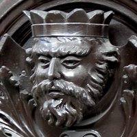
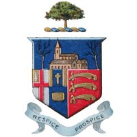
1822 Stoke Newington/Hackney parish boundary marker is in Hackney Museum. I do wonder where it would have originally been situated 202 years ago. (cc: Beating The Bounds)


Boundary marker expert Beating The Bounds has concluded the rare 1822 triangle parish boundary marker was next to the former Sutton Arms pub where the three parishes (Stoke Newington, Hackney and Islington) and created this handy visual to illustrate the boundary of each of them.


What a thrill it was just now going with Beating The Bounds (right) to see the Hornsey Parish boundary marker from 1887 in the back garden of a house on Albion Road, where the boundary between Stoke Newington and one of Hornsey parish’s detached sections was until 1900. Such


Lovely half submerged boundary marker MyattsFieldsPark Alison Rae with #Camberwell St Giles icon. 1870, pre park, now in #Lambeth


