LCPS GIS
@lcps_gis
Loudoun County Public Schools Geospatial Science program
ID: 2913847498
10-12-2014 14:03:25
241 Tweet
119 Followers
86 Following



What are the 5 trends that are rapidly transforming the landscape of #GIS? josephkerski explains here: esri.social/rIQ550JjP08 . . . Esri Young Professionals Network Geospatial Professional Network
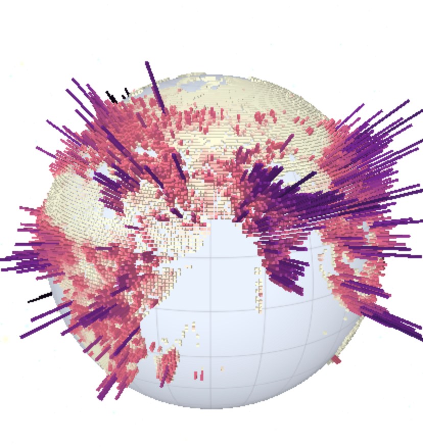


Teaching and learning about geo-ethics with the Geoprivacy video series | Spatial Reserves. #ethics #gis Esri GIS Education spatialreserves.wordpress.com/2022/06/06/tea…

Congratulations Ravin from Riverside High School project on Visualizing Space Debris and Predicting Future Collisions! 1st place winner for JMU's Annual GSS Map Contest! storymaps.arcgis.com/stories/311592… Esri GIS Education Geospatial Semester





2022 introduced many new features and capabilities in ArcGIS Online and related products. Here's an overview: esri.social/iwhh50LYRI6
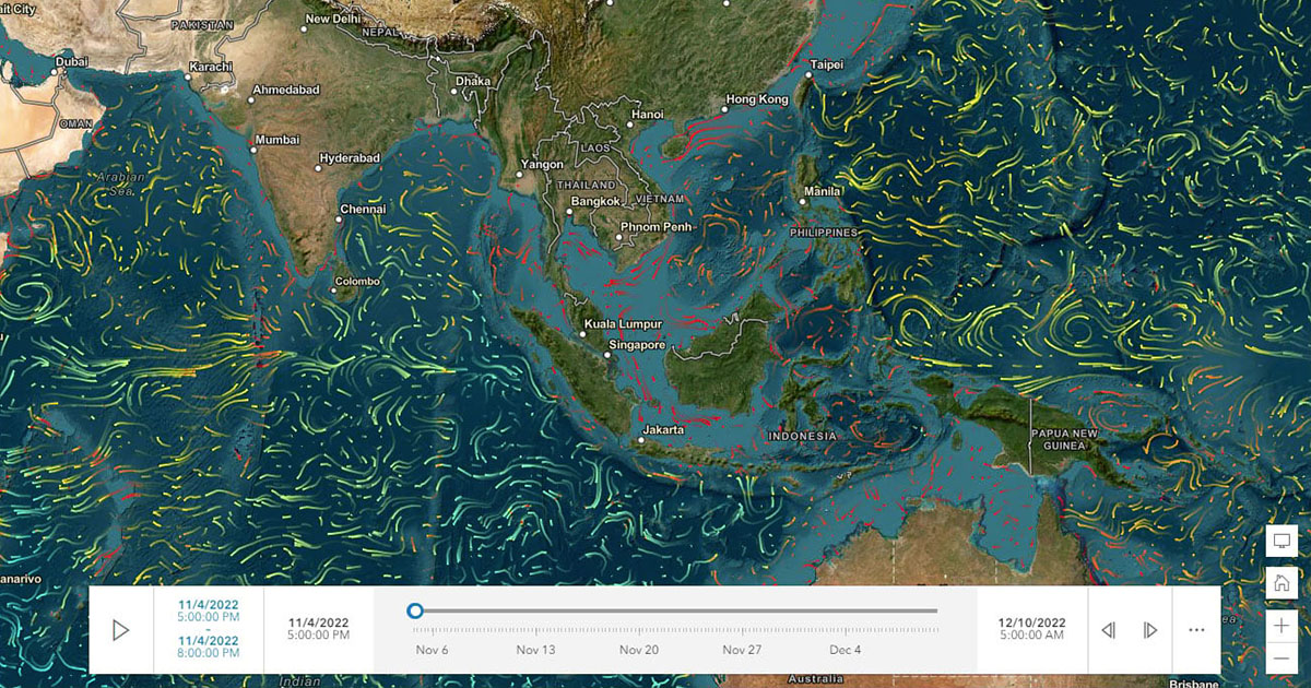


For #EarthWeek, we're highlighting some standout organizations and people who are working tirelessly to create a more sustainable, livable, and just planet. 🌎 Join us as we celebrate these heroes. 🔹Animation by John Nelson

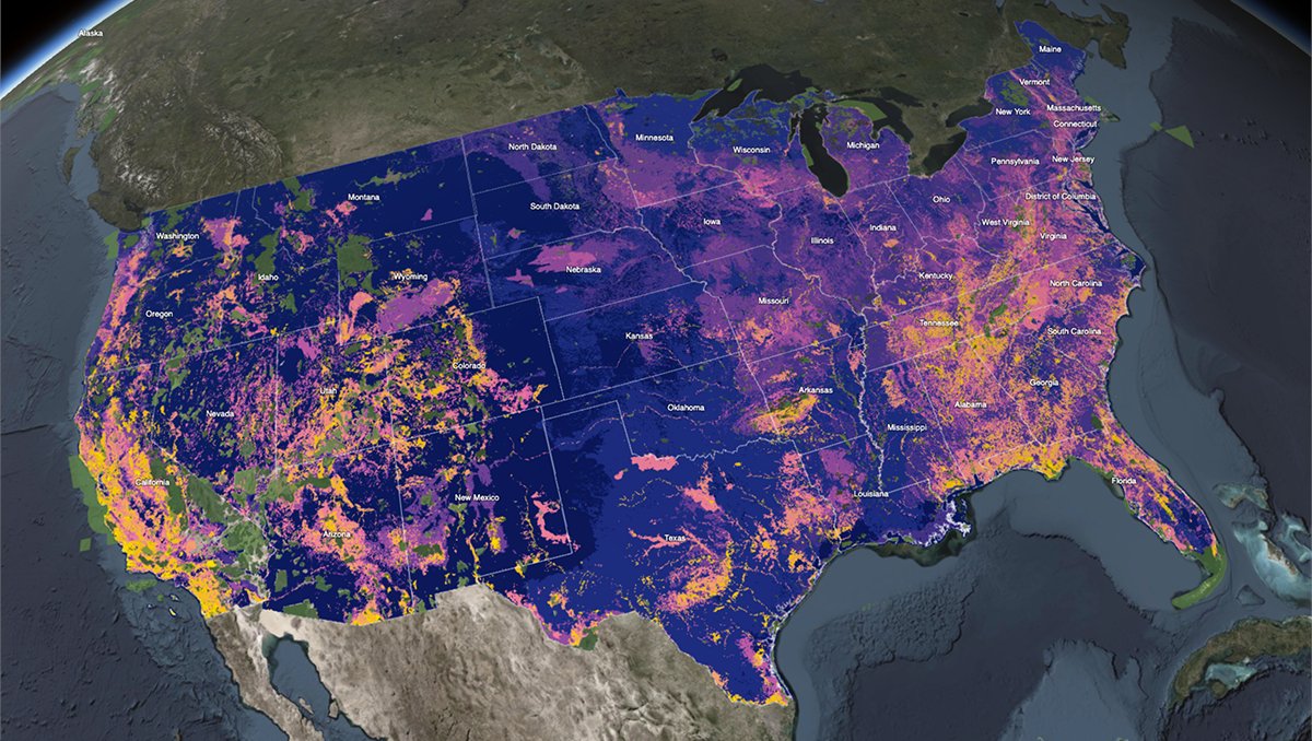
To protect biodiversity, we first need to know where to start. NatureServe's Map of Biodiversity Importance (MoBI) shows the critical areas that are currently not protected. 🔸Explore the maps: esri.social/lw1T50NJLpg #EarthWeek
