Jason Adams (@jasonadamswfts) 's Twitter Profile
Jason Adams

@jasonadamswfts

Meteorologist at WFTS in Tampa | ’The Bearded One’ 🧔🏻‍♂️ | Florida State Seminole | Shark & Ocean Advocate | Pro Beach Bum | I ❤️ Florida | Rock/Metal Guy🤘🏻

ID: 861329252

linkhttps://www.abcactionnews.com/jasonadams calendar_today04-10-2012 12:39:24

22,22K Tweet

5,5K Takipçi

1,1K Takip Edilen

Jason Adams (@jasonadamswfts) 's Twitter Profile Photo

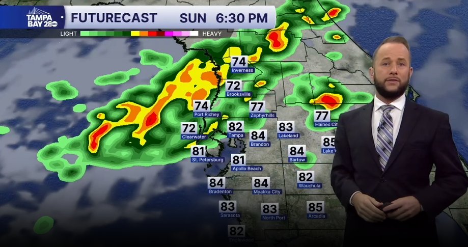
Best chance of rain today will be north of I-4 around 40%. Timing will be after 3 p.m. As line sags south, it will weaken quite a bit with areas south of I-4 seeing a 10% chance.

Best chance of rain today will be north of I-4 around 40%. Timing will be after 3 p.m. As line sags south, it will weaken quite a bit with areas south of I-4 seeing a 10% chance.
Jason Adams (@jasonadamswfts) 's Twitter Profile Photo

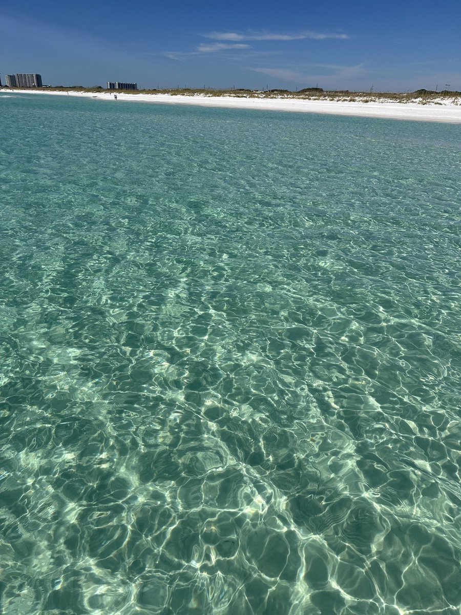
Beautiful relaxing day on the Gulf in Destin🏝️😍🏝️😍🏝️ Nothing like October in Florida… before all the snowbirds arrive 😆😆😆

Beautiful relaxing day on the Gulf in Destin🏝️😍🏝️😍🏝️ Nothing like October in Florida… before all the snowbirds arrive 😆😆😆
Jason Adams (@jasonadamswfts) 's Twitter Profile Photo

MELISSA | Winds are up to 165 mph with a central pressure down to 908 mb. One of the strongest storms ever recorded in the Atlantic Basin. #Melissa #Jamaica

Jason Adams (@jasonadamswfts) 's Twitter Profile Photo

MELISSA | Still strengthening. Winds now up to 185 mph and pressure down to historic 892 mb. #Melissa #HurricaneMelissa #Jamaica

Jason Adams (@jasonadamswfts) 's Twitter Profile Photo

MELISSA | #Melissa is making landfall now. Winds are at 185 mph with a central pressure of 892 mb. #Jamaica #HurricaneMelissa

Jason Adams (@jasonadamswfts) 's Twitter Profile Photo

MELISSA | At 1 pm, Melissa has made landfall near New Hope, Jamaica as a Category 5 with 185 mph winds and a central pressure of 892 mb. #Melissa #HurricaneMelissa #Jamaica

Jason Adams (@jasonadamswfts) 's Twitter Profile Photo

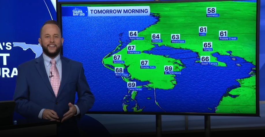
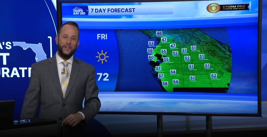
HUGE temp swing on the way! We'll be near record highs this afternoon away from the beaches. By Tuesday morning, we'll be near record lows for many of us. A 40-50° swing on the way. I hope you're ready! 🥵🔜🥶

HUGE temp swing on the way! We'll be near record highs this afternoon away from the beaches. By Tuesday morning, we'll be near record lows for many of us. A 40-50° swing on the way. I hope you're ready! 🥵🔜🥶
Jason Adams (@jasonadamswfts) 's Twitter Profile Photo

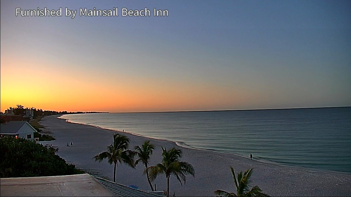
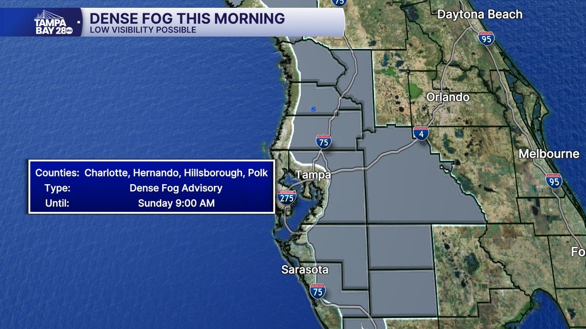
FOG | A Dense Fog Advisory is in effect for the entire area unless you're right at the coast. Visibilities are down to zero in a few spots east of I-75. Be safe!

FOG | A Dense Fog Advisory is in effect for the entire area unless you're right at the coast. Visibilities are down to zero in a few spots east of I-75. Be safe!
Jason Adams (@jasonadamswfts) 's Twitter Profile Photo

Doing my best emoji impression of the cold 😂🥶 Record low temps are possible tomorrow morning! Are you ready?! Oh and I’m in for Denis tonight and will be talking all about the cold on DPL aka JAL!

Doing my best emoji impression of the cold 😂🥶 

Record low temps are possible tomorrow morning! Are you ready?!

Oh and I’m in for Denis tonight and will be talking all about the cold on DPL aka JAL!
Jason Adams (@jasonadamswfts) 's Twitter Profile Photo

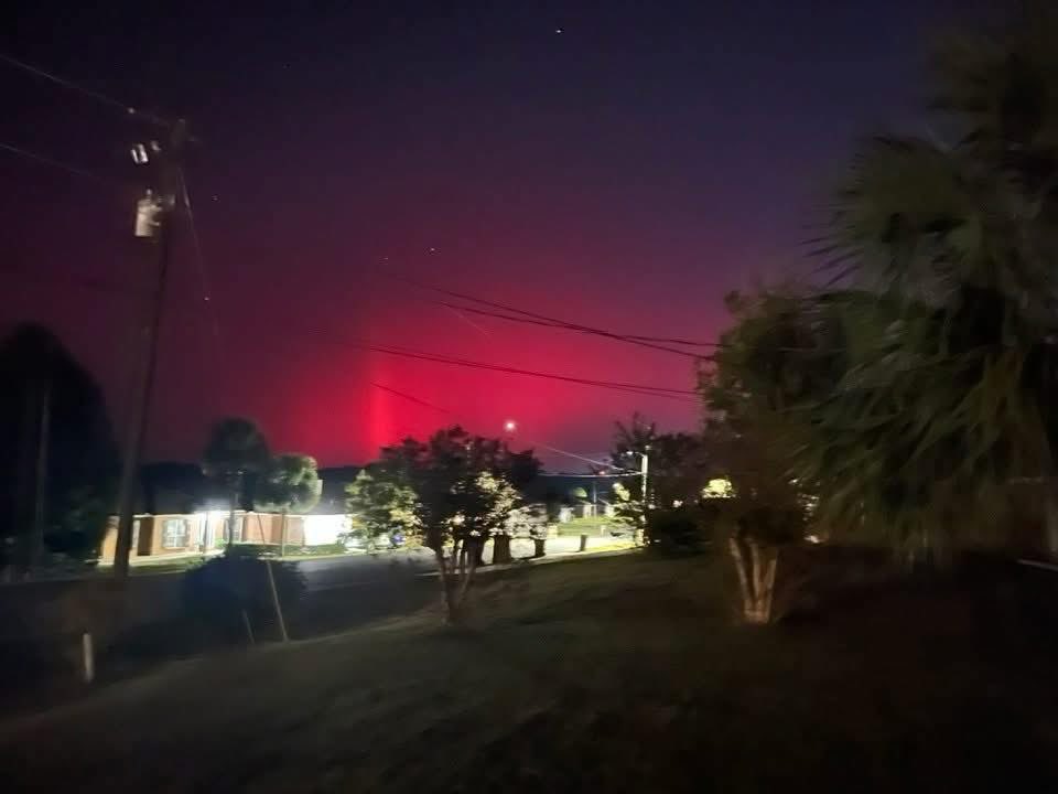
Mom and Dad are seeing the northern lights in NW Florida tonight!! Nothing here in Tampa when I went out to look, but our northern counties could see them too! Incredible to see them this far south! 📸: Momma Adams #NorthernLights #Auroras #AuroraBorealis #Florida

Mom and Dad are seeing the northern lights in NW Florida tonight!! Nothing here in Tampa when I went out to look, but our northern counties could see them too! Incredible to see them this far south!

📸: Momma Adams

#NorthernLights #Auroras #AuroraBorealis #Florida