Platform for sharing #GIS #OpenCourseWare.
#OCW #OpenEducation #OER #geospatial #OpenSource #QGIS #Python. Powered by @ihedelft. Moderated by @hansakwast.
ID: 1311905835577212928
https://courses.gisopencourseware.org 02-10-2020 05:48:48
3,3K Tweet
3,3K Takipçi
138 Takip Edilen

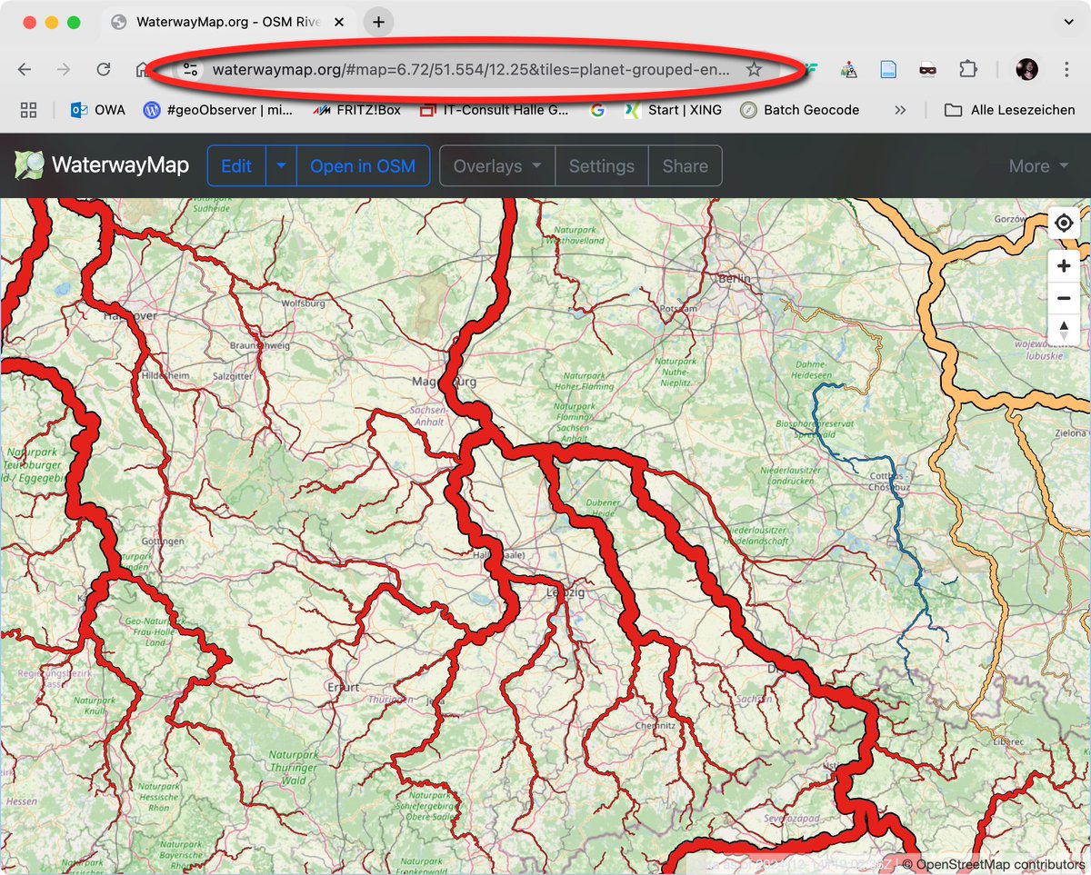
Maps Mania: Die Wasserstraßenkarte / The WaterwayMap geoobserver.de/2024/12/17/map… #WaterwayMap #osm #openstreetmap #gistribe #gischat #fossgis #foss4g #OSGeo #spatial #geospatial #mapping #DataViz #gis #geo #geoObserver pls RT via Maps Mania


New video! Explore the ArcGeek Calculator plugin by El blog de franz to map streams & catchments, analyze their #morphometry, and create hypsometric curves in #QGIS. 🌍📊 youtu.be/9ItZ7R0KN74 #QGISHydro #GIS #Hydrology #CatchmentAnalysis


New Video: Exploring the Kue plugin: an #AI Chatbot for #QGIS by Bunting Labs 🗺 🌍✨ Simplify geoprocessing tasks with AI. Highlights: installation, base maps, styling, analyses & more. 🔔 Subscribe for more! #QGIS #AI #GeoAI #GIS youtu.be/hQJ1SuyyvT8


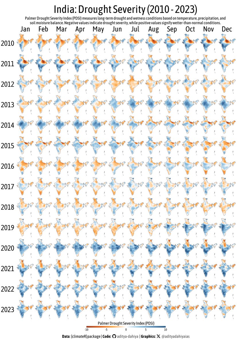
#dataviz #ClimateAction A facet graph for drought severity (PDSI) in India with #opensource #raster data. Full Code🔗bit.ly/4aF3mRT Data: climatologylab.org by John Abatzoglou Emily Williams @dmitri_climate thru {climateR} Tools #rstats #ggplot2 #sf #terra #tidyterra


