Army Geospatial
@armygeospatial
Official site of the Army Geospatial Center. Providing #USArmy timely, accurate, and relevant geospatial information and capabilities. (F/RT/L ≠ endorsement)
ID: 3236495585
https://www.agc.army.mil/ 05-05-2015 18:21:10
3,3K Tweet
1,1K Takipçi
259 Takip Edilen

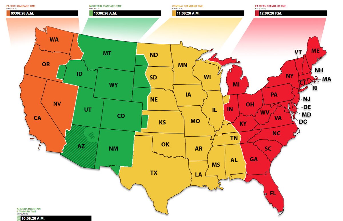
Curious about the time? Check out National Institute of Standards and Technology's Official U.S. Time page at time.gov


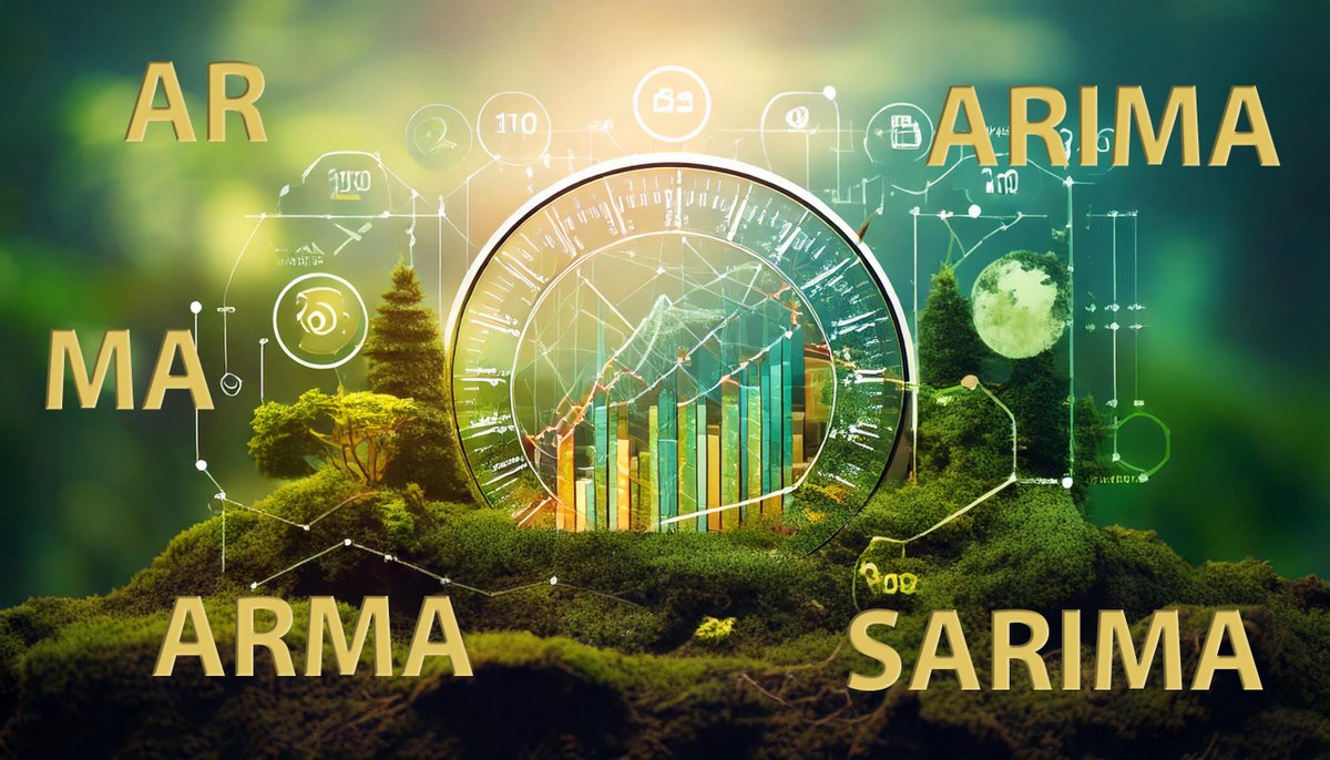
.U.S. Army ERDC #GRL researchers recently found that no single time forecasting model is optimal for forecasting temperatures in differing climate zones. It is likely that the climate zone may need to be chosen before selecting the best forecasting model. spr.ly/6010a562Y


#CiviliansAndMaps. #USACE Huntington District Survey Technicians create a 3D map of the bottom of Lake Tahoma near Marion, North Carolina, to help identify Hurricane Helene debris.


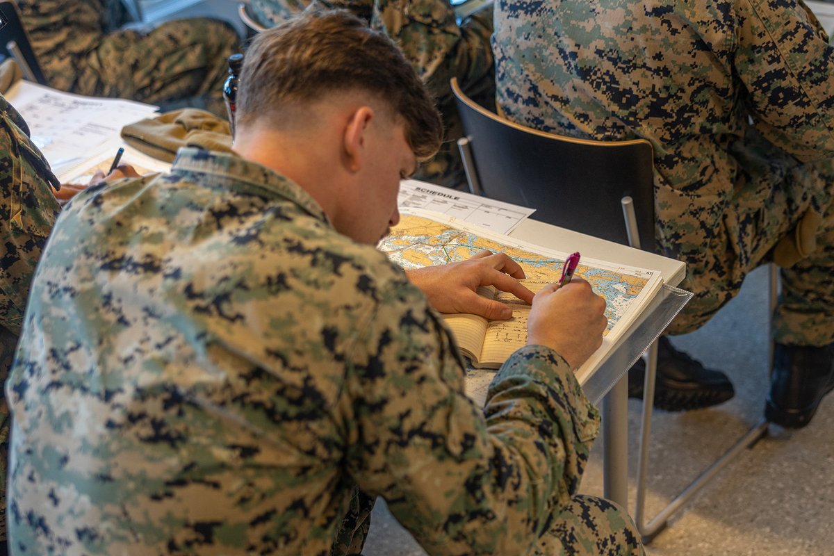
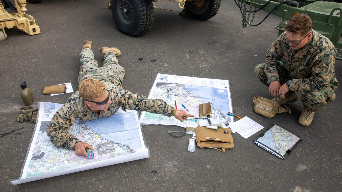
#MarinesAndMaps. Laying it all out! 1st Marine Division Marine uses maps to plan route for exercise to integrate with joint and naval forces.


#Unbelievable. Army Geospatial scientists recently developed incredible, edible geospatial data. One bite turns you to a geography wizard. And after eating, just touch your mouse and the data is automatically transferred to your computer! #amazing


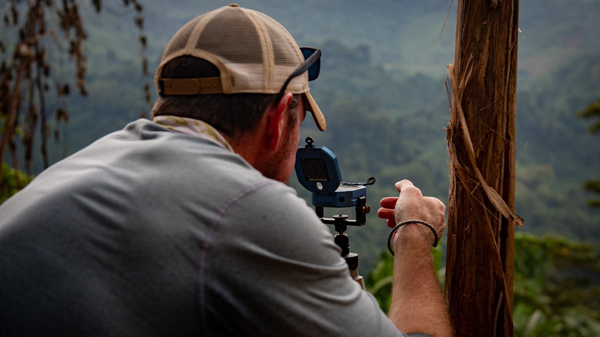
#CiviliansAndMapping. Defense POW/MIA Accounting Agency (Defense POW/MIA Accounting Agency (DPAA)) scientific recovery expert surveys an area during an investigation mission. Team members utilize historical reports, maps, and interviews to map out sites for potential recovery missions.
