
OS200
@irelandmapped
@irishresearch @ahrcpress joint funded. Digitally Remapping Ireland's Ordnance Survey Heritage. @UL @QUBelfast @ULGeog @QUBGeography @irelandmapped.bsky.social
ID: 1422576005173161985
https://www.irelandmapped.ie/ 03-08-2021 15:12:42
1,1K Tweet
1,1K Followers
206 Following


Geographies of Engagement-Since launching in June we’ve had almost 3000 people from 32 countries visit our new OS web resource. We’ve got a big update in the works just in time for @IGC2024Dub next week so keep checking back! Royal Irish Academy Library Tailte Éireann Ordnance Survey NI Digital Repository of Ireland (DRI)

Wait, there's more @IGC2024Dub with our session on the Ordnance Survey in Ireland, drawing on The National Lottery Heritage Fund NI We are now Research Ireland Arts and Humanities Research Council including OS200 with Dr Frances Kane zenobiewan Dr Catherine Porter 🏳️🌈🌳😷, with something from me on 'mapping heritage' 👇
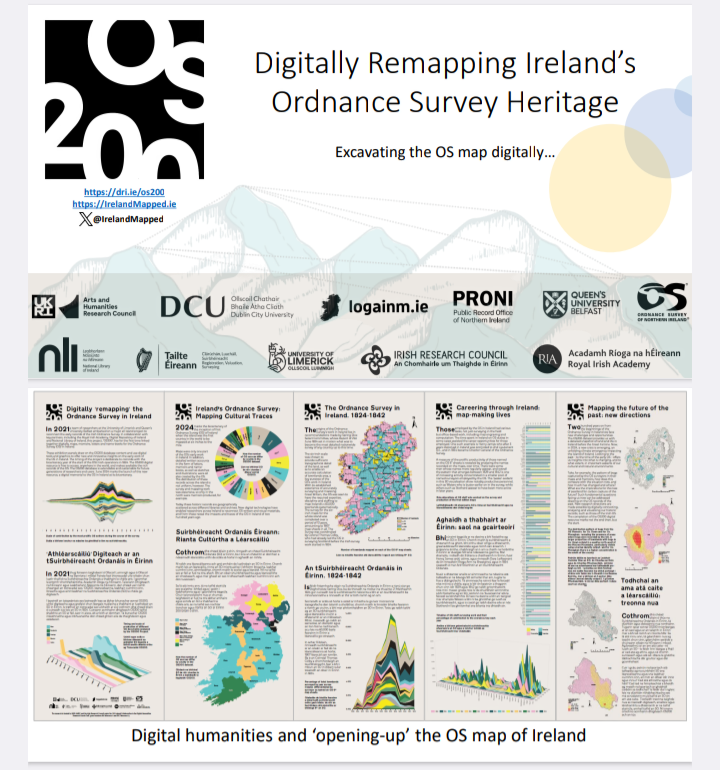


Our 'Mapping Ireland Through Time' public engagement event Royal Irish Academy as part of @IGC2024Dub has kicked off with a full house welcomed by Prof Cath Brown and Keith Lilley


Loads of people turned out for @IGC2024Dub public event “Mapping Ireland through Time” hosted by Royal Irish Academy Library and included OS200 #OS200 project members Dr Catherine Porter 🏳️🌈🌳😷 and Keith Lilley

A fabulous evening in the Royal Irish Academy listening to wonderful insights into maps from SW Ireland in the 1500s, O’Connells funeral and disease in Dublin, OS200 from Dr Catherine Porter 🏳️🌈🌳😷 and the wonders of community mapping Rachel McArdle! Food for the soul. @IGC2024Dub




Environment and landscape change witnessed through the OS Maps and Memoirs. 'Its [the parish] contents are rapidly decreasing by the action of the ocean and Lough Foyle', Rev John Graham on Parish of Magilligan, OS Memoirs (1833) Ordnance Survey of NI Tailte Éireann #OS200
![OS200 (@irelandmapped) on Twitter photo Environment and landscape change witnessed through the OS Maps and Memoirs. 'Its [the parish] contents are rapidly decreasing by the action of the ocean and Lough Foyle', Rev John Graham on Parish of Magilligan, OS Memoirs (1833) <a href="/osni_maps/">Ordnance Survey of NI</a> <a href="/TailteEireann/">Tailte Éireann</a> #OS200 Environment and landscape change witnessed through the OS Maps and Memoirs. 'Its [the parish] contents are rapidly decreasing by the action of the ocean and Lough Foyle', Rev John Graham on Parish of Magilligan, OS Memoirs (1833) <a href="/osni_maps/">Ordnance Survey of NI</a> <a href="/TailteEireann/">Tailte Éireann</a> #OS200](https://pbs.twimg.com/media/GXmRceZWQAAhhxC.png)


Made some new maps ahead of a talk looking at 19th century Ordnance Survey work in Cavan this Thursday at Cavan Library Service. Anyone have a guess what they might show? OS200 Cavan County Council
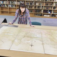

Spotted this Ordnance Survey benchmark in #Thurles today at St Bridget's Grave Yard (extract from 25-inch historic map via Tailte Éireann on GeoHive Map Viewer).


Did you miss our talk PRONI in October? Don't fret, you can now watch it online and learn more about what the project team has been up to: youtube.com/watch?v=1TUaWo… University Of Limerick Queen's University Belfast 🎓
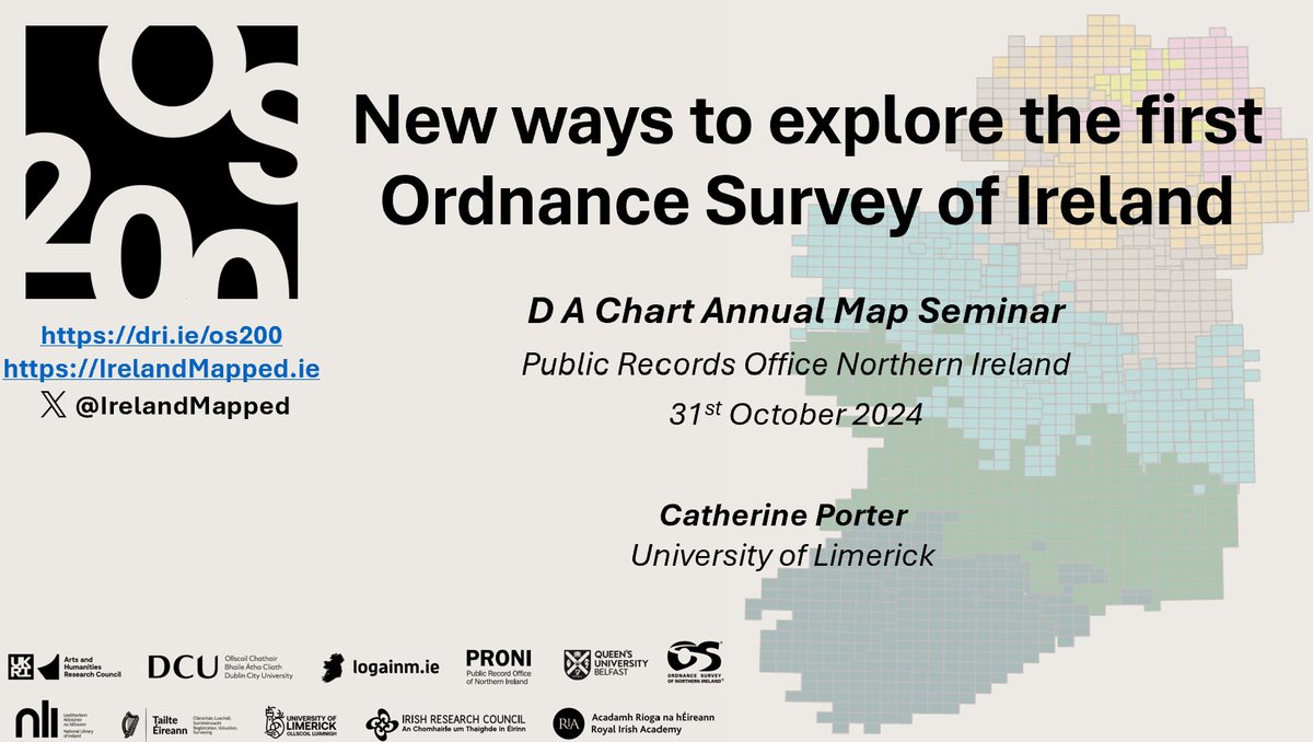

The #OS200 collaborative events continue! Our exhibition will open PRONI on 21st Nov with a series of in-person talks in cooperation with Royal Geographical Society (with IBG), Ordnance Survey of NI and #HERoNI. Get your tickets here: shorturl.at/gC3ru and here: shorturl.at/x4uRW


