Hussein Ahmad (@husse1nahmad) 's Twitter Profile
Hussein Ahmad

@husse1nahmad

Cloud Solution Architect | Microsoft

ID: 1125324092406558721

calendar_today06-05-2019 08:59:05

7,7K Tweet

93 Followers

76 Following

Hussein Ahmad (@husse1nahmad) 's Twitter Profile Photo

My Community Explorer from the US Census Bureau is an interactive map-based tool that highlights demographic and socioeconomic data that measure inequality and can help inform data-based solutions. Select a state and county and explore the dashboards. ow.ly/m22W50KlcJ3

My Community Explorer from the US Census Bureau is an interactive map-based tool that highlights demographic and socioeconomic data that measure inequality and can help inform data-based solutions. Select a state and county and explore the dashboards. ow.ly/m22W50KlcJ3
Hussein Ahmad (@husse1nahmad) 's Twitter Profile Photo

The unmet healthcare needs of women affect our nation as a whole. Explore this story map from HRS.health to learn about the Care Desert Initiative, and the state of women's healthcare in the US. ow.ly/vp8c103UgXl

The unmet healthcare needs of women affect our nation as a whole. Explore this story map from HRS.health to learn about the Care Desert Initiative, and the state of women's healthcare in the US. ow.ly/vp8c103UgXl
Hussein Ahmad (@husse1nahmad) 's Twitter Profile Photo

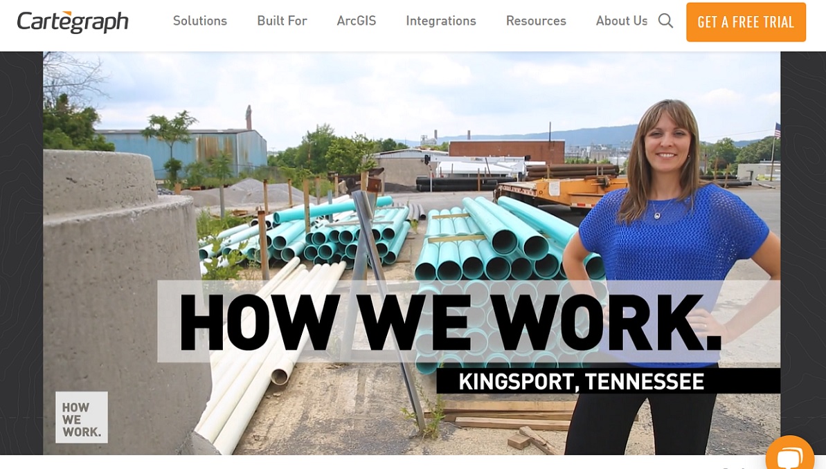
Great case study on how asset management tools and digital maps help reduce costs for the wastewater projects in Kingsport, TN. #APWA ow.ly/NLgZ103UgXr #Cartegraph

Great case study on how asset management tools and digital maps help reduce costs for the wastewater projects in Kingsport, TN. #APWA ow.ly/NLgZ103UgXr #Cartegraph
Hussein Ahmad (@husse1nahmad) 's Twitter Profile Photo

Proposed legislation would help local governments to invest in drones, and provide grants to research universities to train future drone-operating workers. ow.ly/hXJ8103UgXR

Proposed  legislation would help local governments to invest in drones, and provide grants to research universities to train future drone-operating workers.  ow.ly/hXJ8103UgXR
Hussein Ahmad (@husse1nahmad) 's Twitter Profile Photo

Many people in the US lack basic access to pharmacies. Awareness of access gaps is critical for planning and policy development. #EsriPartner @Hsr.health provides pharmacy data layers in the ArcGIS Marketplace to support this work. ow.ly/3cYC103UgXA

Many people in the US lack basic access to pharmacies. Awareness of access gaps is critical for planning and policy development. #EsriPartner @Hsr.health provides pharmacy data layers in the ArcGIS Marketplace to support this work. ow.ly/3cYC103UgXA
Hussein Ahmad (@husse1nahmad) 's Twitter Profile Photo

What's new for multidimensional scientific data analysis in ArcGIS Pro 3.0? New tools for creating Discrete Sampling Geometry output from netCDF data. ow.ly/fwSb50KlcLx

What's new for multidimensional scientific data analysis in ArcGIS Pro 3.0? New tools for creating Discrete Sampling Geometry output from netCDF data. ow.ly/fwSb50KlcLx
Hussein Ahmad (@husse1nahmad) 's Twitter Profile Photo

What's new in ArcGIS Earth? New distance, area, and 3D measure tools, temporal data support, AR screen capture tools, optimized fly-to animation, new filter for layer, draw templates, automated drawing API, and several enhancements. ow.ly/Mufr50KlcMT

What's new in ArcGIS Earth? New distance, area, and 3D measure tools, temporal data support, AR screen capture tools, optimized fly-to animation, new filter for layer, draw templates, automated drawing API, and several enhancements. ow.ly/Mufr50KlcMT
Hussein Ahmad (@husse1nahmad) 's Twitter Profile Photo

Mapmaking in ArcGIS Pro: Esri's John Nelson (ArcGIS Living Atlas of the World team) lets his maps spill over neatlines and discusses when and why this is useful. ow.ly/3n9q50KlcNy

Mapmaking in ArcGIS Pro: Esri's John Nelson (ArcGIS Living Atlas of the World team) lets his maps spill over neatlines and discusses when and why this is useful. ow.ly/3n9q50KlcNy
Hussein Ahmad (@husse1nahmad) 's Twitter Profile Photo

Learn how county governments and regional planning aencies solve important challenges related to growth patterns and capacities in this upcoming webinar on August 24. ow.ly/OM5l50KlZkp

Learn how county governments and regional planning aencies solve important challenges related to growth patterns and capacities in this upcoming webinar on August 24. ow.ly/OM5l50KlZkp
Hussein Ahmad (@husse1nahmad) 's Twitter Profile Photo

With the release of ARPA funds, the City of Decatur, IL, published both an app that allowed residents to easily apply for grants to rehabilitate their homes, and a public dashboard to provide transparency about the grant process. ow.ly/vaLJ103UgYm

With the release of ARPA funds, the City of Decatur, IL, published both an app that allowed residents to easily apply for grants to rehabilitate their homes,  and a public dashboard to provide transparency about the grant process. ow.ly/vaLJ103UgYm
Hussein Ahmad (@husse1nahmad) 's Twitter Profile Photo

Introducing the Select-by-Association tool as an add-in for ArcGIS Pro. Built due to feedback from our Utility Network users. ow.ly/WGEv50KlcTv

Introducing the Select-by-Association tool as an add-in for ArcGIS Pro. Built due to feedback from our Utility Network users. ow.ly/WGEv50KlcTv
Hussein Ahmad (@husse1nahmad) 's Twitter Profile Photo

How to write SQL queries that can read data from the default version of a branched version in an Esri geodatabase. Updated to recommend using materialized views instead of regular database views. ow.ly/7V6650KlZiP

How to write SQL queries that can read data from the default version of a branched version in an Esri geodatabase. Updated to recommend using materialized views instead of regular database views. ow.ly/7V6650KlZiP
Hussein Ahmad (@husse1nahmad) 's Twitter Profile Photo

Check out the Living Atlas - Canada Content dashboard, which makes it easy for #ArcGIS users to find #LivingAtlas content from across Canada. Updated once a week, it includes the curator’s pick, trending items, newest added items, bilingual items and more. ow.ly/Wvzc50KlZjw

Check out the Living Atlas - Canada Content dashboard, which makes it easy for #ArcGIS users to find #LivingAtlas content from across Canada. Updated once a week, it includes the curator’s pick, trending items, newest added items, bilingual items and more. ow.ly/Wvzc50KlZjw
Hussein Ahmad (@husse1nahmad) 's Twitter Profile Photo

What's new in the ArcGIS Defense Mapping and ArcGIS Production Mapping extensions to ArcGIS Pro 3.0? New tools and some additions to the Topographic Production toolbox. ow.ly/nQhO50Kn8Rj

What's new in the ArcGIS Defense Mapping and ArcGIS Production Mapping extensions to ArcGIS Pro 3.0? New tools and some additions to the Topographic Production toolbox. ow.ly/nQhO50Kn8Rj
Hussein Ahmad (@husse1nahmad) 's Twitter Profile Photo

Register now for a webinar opportunity on August 24 to hear from city and county health officials on how they are using GIS to transform their health initiatives and build healthier communities. ow.ly/XeG2103UEOi #Esri #NACCHO

Register now for a webinar opportunity on August 24 to hear from  city and county health officials on how they are using GIS to transform their health initiatives and build healthier communities. ow.ly/XeG2103UEOi #Esri #NACCHO
Hussein Ahmad (@husse1nahmad) 's Twitter Profile Photo

Actionable information can be often be derived from imagery. Detecting, identifying, and mapping change for a wide variety of applications is a primary function of many organizations. ow.ly/L9YO50Kn8Pe

Actionable information can be often be derived from imagery. Detecting, identifying, and mapping change for a wide variety of applications is a primary function of many organizations. ow.ly/L9YO50Kn8Pe
Hussein Ahmad (@husse1nahmad) 's Twitter Profile Photo

Learn how to search for and share ArcGIS content with your colleagues in a Microsoft Teams chat conversation, meeting, or group using ArcGIS for Teams. ow.ly/WlBN50Kn8PA

Learn how to search for and share ArcGIS content with your colleagues in a Microsoft Teams chat conversation, meeting, or group using ArcGIS for Teams. ow.ly/WlBN50Kn8PA
Hussein Ahmad (@husse1nahmad) 's Twitter Profile Photo

Esri Canada recently worked with the Infrastructure Institute at the School of Cities, University of Toronto, on a housing study that looked at privately owned land. The outcome was stunning. School of Cities, GIS for Higher Education and Research ow.ly/3INN50Kn8Q8

Esri Canada recently worked with the Infrastructure Institute at the School of Cities, University of Toronto, on a housing study that looked at privately owned land. The outcome was stunning. <a href="/UofTCities/">School of Cities</a>, <a href="/GIS4HEd/">GIS for Higher Education and Research</a>
ow.ly/3INN50Kn8Q8
Hussein Ahmad (@husse1nahmad) 's Twitter Profile Photo

More than 30 pre-trained deep learning models have been published to ArcGIS Online. Within this collection are several that are specifically useful for the Energy Industry. ow.ly/YvLM50Kn8RX

More than 30  pre-trained deep learning models have been published to ArcGIS Online. Within this collection are several that are specifically useful for the Energy Industry. ow.ly/YvLM50Kn8RX
Hussein Ahmad (@husse1nahmad) 's Twitter Profile Photo

👉 Let's innovate and collaborate to make a tangible impact on hunger in Africa! 🌍❤️linkedin.com/posts/hussein-… #FoodSecurity #Innovation #OpenAI #AIforGood #azure #africa #technologyforgood