Richard Kingston | UoM | NERC DSH
@gisplanner
Prof Urban Planning & GISc bsky.app/profile/gispla…
ID: 244229024
https://www.research.manchester.ac.uk/portal/richard.kingston.html 28-01-2011 20:52:30
4,4K Tweet
862 Takipçi
274 Takip Edilen

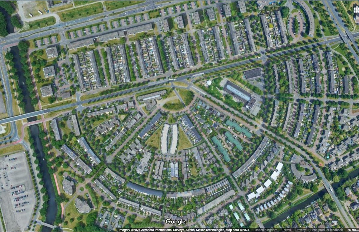
One for NERC's Digital Solutions Hub use case #4 !


Open Data Manchester GMAnalysts Fantastic presentation from Dave Topping The University of Manchester on 📈Using the Digital Solutions Hub to make decisions 🗣️We need to do better than '#OpenData', there are evolving regulations. #DataPerspectives GMAnalysts #GMMeetUp11


Great to see this space being put to good use today Rishi Sunak Jason McCartney Downing Street: Millions spent on new media briefing room bbc.co.uk/news/uk-politi…


Short piece by @PlanningUOM colleagues on the new Labour government plans to build 1.5 million homes – here’s what’s needed to make it happen theconversation.com/the-new-labour… via The Conversation

A week of GIS talks, workshops and demos with around 20k attendees Esri User Conference

Coming towards the end of NERC's Digital Solutions Hub spreading the word about what we are delivering for Natural Environment Research Council using Esri UK tech.

Join us for the Natural Environment Research Council Digital Gathering 2024. 📍Taking place at The University of Manchester 🗓️Wednesday 11th and Thursday 12th September 💻To learn more about #DG24 and register for your place, visit our website: NERC's Digital Gathering 2024 (digital-solutions.uk)


First set of toolkits are starting to emerge now from Natural Environment Research Council funded Digital Solutions Programme The University of Manchester News

This week we are visiting the GALLANT Natural Environment Research Council funded project to hear where they are up to. Likewise we are presenting updates on our use cases on climate change and how we are using Ordnance Survey UPRNs to link NERC data to a range of other data.


🎉It's #Digitober and we've teamed up with Greater Manchester Combined Authority to explain why #Digitober is important, how we're doing digital differently, and teasing details about the NERC's Digital Solutions Hub ahead of next year's launch. 💬 Take a look at Richard Kingston | UoM | NERC DSH, Director of NERC's Digital Solutions Hub, in the video below.

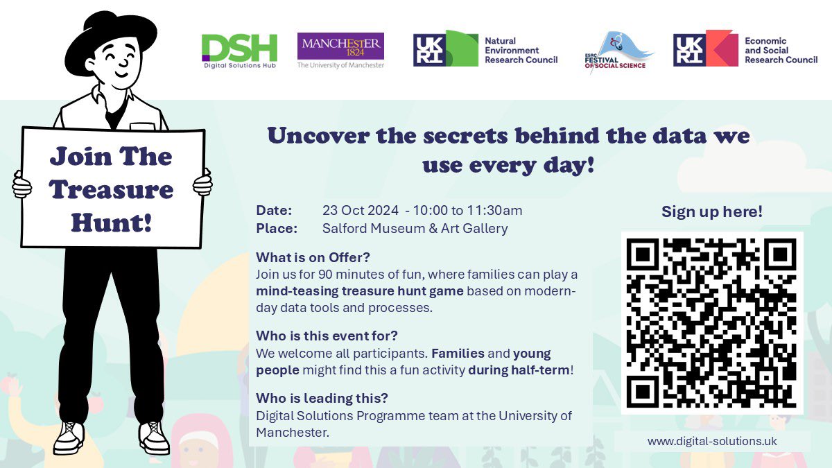
🎉 Our NERC's Digital Solutions Hub team were at the Economic and Social Research Council's #FoSS 2024, hosted at Salford Museum & Art Gallery yesterday👇 🏴☠️ Richard Kingston | UoM | NERC DSH and Nourhan Heysham ran a data treasure hunt using data available on the DSH. 📩 Sign up to our newsletter, ahead of the 2025 NERC's Digital Solutions Hub launch - lnkd.in/euuxYhgH

