Geominds
@geominds
We are a group of individuals with an inherent craze in Geospatial Technologies like Remote Sensing, Geoinformatics, GIS based Data Visualisations, other allied
ID: 3826840633
http://geominds.in 08-10-2015 15:49:19
69 Tweet
94 Followers
66 Following


We are happy to be part of the #OSMKerala Community meet. We had a guest session from Florian Lainez explaining the #kochi Transit #mapping project done by Jungle Bus,Geominds & #systra OpenDataKerala MapKerala @jinoytommanjaly Manoj Karingamadathil



Do the mountains of #Uttarkhand smoke? ark Arjun et al, writes on #forestfire of #Chamoli & effective use of #geospatial Technology & #satellilte #RemoteSensing for monitoring geomindslabs.medium.com/do-the-mountai… Uttarakhand State Disaster Management Authority PIB in Uttarakhand CM Office Uttarakhand MyGov Uttarakhand

It has been a great opportunity for Geominds to participate in #OSMKerala's journey so far. It couldn't have been possible without the involvement of Manoj Karingamadathil Naveen Francis Kelvin (@[email protected]) Er. Jinoy \ ജിനോയ് 🇮🇳 Mikko Tamura Jaisen Nedumpala ark Arjun and other OpenStreetMap India volunteers. #OpenStreetMap

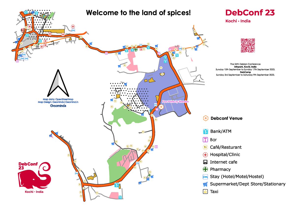
Welcome to the land of spices! #debconf23 happening in #kochi. Here is a small token of love from us for the attendees. Data: #OpenStreetMap Designed in: QGIS #Map The Debian Project Debian India
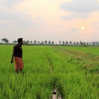
Workshop on OpenStreetMap at Department of Geography, Kannur University, Kerala on 25 September 2023 #OSMKerala


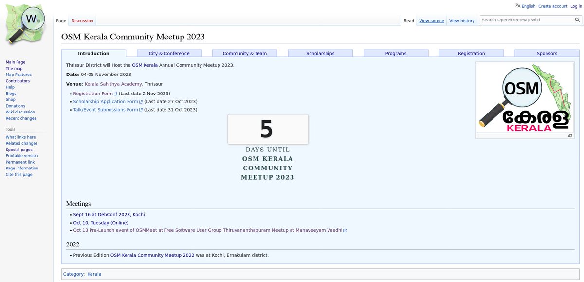
Countdown to the #OSMKerala Community Meetup 2023: 5 days to go! wiki.openstreetmap.org/wiki/OSM_Keral… OpenStreetMap OpenDataKerala OpenStreetMap India Humanitarian OpenStreetMap Team Open Mapping Hub - Asia Pacific Geominds SMC Project Sahya Foundation വിക്കിഡാറ്റ #OpenStreetMapKerala

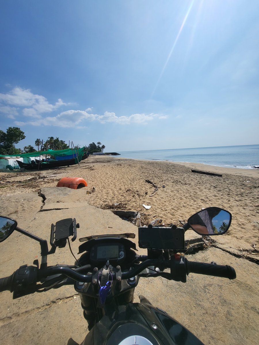
Roadscape Nayarambalam: Mapping and Road Hierarchy Project Completed :) KM Tracked: 192Km KM Mapped: 92.3 KM Bridges Mapped: 56 Street Level Mapped: 65KM Special Thanks to:grassroute, SMC Project Nupuram font, Humanitarian OpenStreetMap Team, Geominds, OpenDataKerala ark Arjun Mikko Tamura


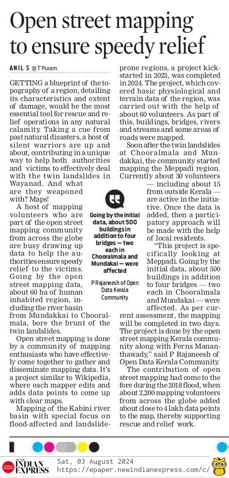
Kerala: Open street mapping to ensure speedy relief for landslide victims newindianexpress.com/states/kerala/… OpenStreetMap MapKerala Humanitarian OpenStreetMap Team Open Mapping Hub - Asia Pacific OpenStreetMap India Rajaneesh Manoj Karingamadathil #OSMKerala


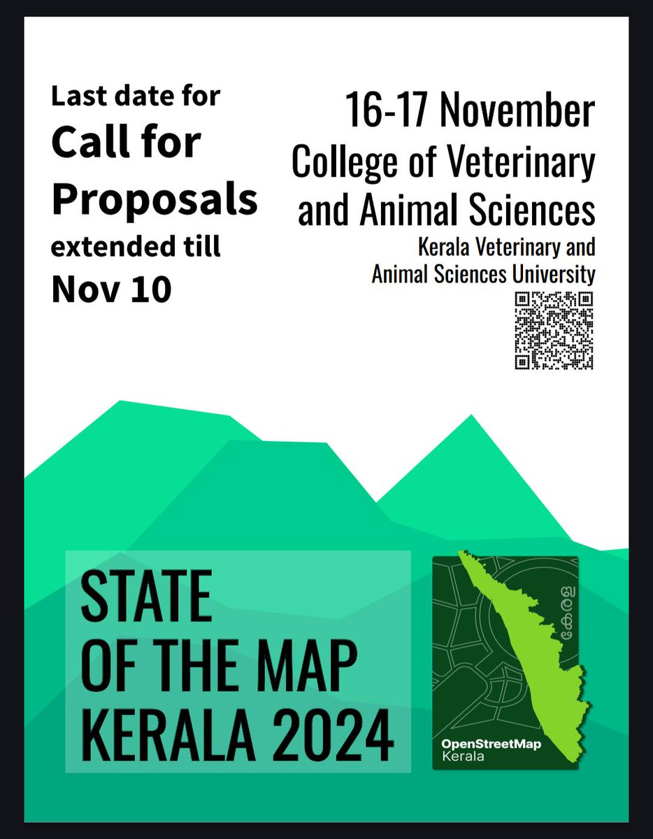
Call for proposals extended docs.google.com/forms/d/e/1FAI… #SotMKerala24 OpenStreetMap India #Wayanad #OpenStreetMap


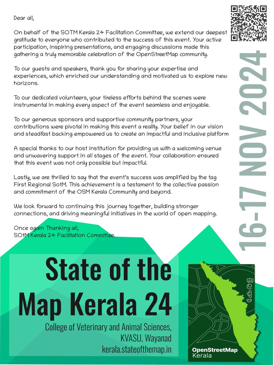
Thank you all for all your contributions and support to #SotMKerala24. Special thanks to OpenStreetMap Foundation, #Meta, FOSS United , Grab, TomTom, DhiSigma for generous Sponserships. #Kerala #OpenStreetMap
