![GEO Data Design (@geodatadesign) 's Twitter Profile](https://pbs.twimg.com/profile_images/1359446774558171136/00fOH1xi_200x200.jpg)
GEO Data Design
@geodatadesign
Committed to excellence in location-intelligence solutions by combining premier satellite data and advanced technologies.
ID: 157924519
http://www.geodatadesign.co.za 21-06-2010 07:48:17
795 Tweet
436 Followers
407 Following
![GEO Data Design (@geodatadesign) 's Twitter Profile Photo GEO Data Design (@geodatadesign) 's Twitter Profile Photo](https://pbs.twimg.com/profile_images/1359446774558171136/00fOH1xi_200x200.jpg)
Thanks to all who attended our webinar on Automated Geology Mapping. We hope you enjoyed it! A special thank you to @HexGeospatial for making this webinar possible and to Maxar Technologies for providing all satellite imagery. Access the recording here bit.ly/3496Yub
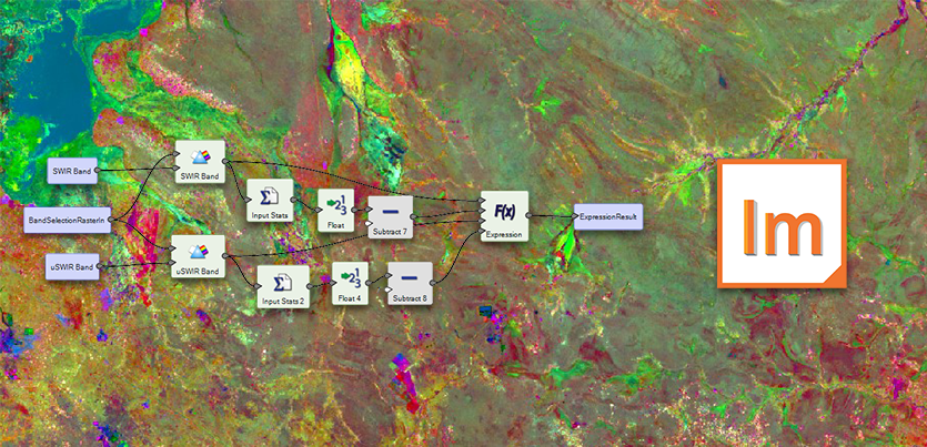
![GEO Data Design (@geodatadesign) on Twitter photo Thanks to all who attended our webinar on Automated Geology Mapping. We hope you enjoyed it! A special thank you to @HexGeospatial for making this webinar possible and to <a href="/Maxar/">Maxar Technologies</a> for providing all satellite imagery.
Access the recording here bit.ly/3496Yub Thanks to all who attended our webinar on Automated Geology Mapping. We hope you enjoyed it! A special thank you to @HexGeospatial for making this webinar possible and to <a href="/Maxar/">Maxar Technologies</a> for providing all satellite imagery.
Access the recording here bit.ly/3496Yub](https://pbs.twimg.com/media/E2JdY9ZXoAEsLC5.png)
![GEO Data Design (@geodatadesign) 's Twitter Profile Photo GEO Data Design (@geodatadesign) 's Twitter Profile Photo](https://pbs.twimg.com/profile_images/1359446774558171136/00fOH1xi_200x200.jpg)