Topi Tjukanov (@tjukanov) 's Twitter Profile
Topi Tjukanov

@tjukanov

Makes maps. Works at @Mapbox. Started #30DayMapChallenge.

ID: 2198358416

linkhttps://tjukanov.org/ calendar_today16-11-2013 20:21:07

9,9K Tweet

20,20K Followers

2,2K Following

Mapbox (@mapbox) 's Twitter Profile Photo

#30DayMapChallenge Day 1 — Points 📍 Did you know: The number of trees on Mapbox Standard recently more than doubled to more than 50 million! 🌳🌳 Check out tree points in Helsinki before and after. #BuiltWithMapbox #Data #Trees

Topi Tjukanov (@tjukanov) 's Twitter Profile Photo

#30DayMapChallenge | Day 2 | Lines I have been seeing this kind of pseudo-3D line rendering done recently in #QGIS and had to try it out myself. These are some OSM buildings from Munich rendered with just line layers 👀

#30DayMapChallenge | Day 2 | Lines

I have been seeing this kind of pseudo-3D line rendering done recently in #QGIS and had to try it out myself. These are some OSM buildings from Munich rendered with just line layers 👀
IGN France (@ignfrance) 's Twitter Profile Photo

#30DayMapChallenge J-3 #Polygon La diversité des climats, du relief et des stations forestières permet à la France d’avoir des #forêts variées, avec 190 espèces différentes d’arbres réparties en 25 classes. Et la BD Forêt V2, qui les représente, compte + de 2M de polygones !

#30DayMapChallenge J-3 #Polygon
La diversité des climats, du relief et des stations forestières permet à la France d’avoir des #forêts variées, avec 190 espèces différentes d’arbres réparties en 25 classes. Et la BD Forêt V2, qui les représente, compte + de 2M de polygones !
Topi Tjukanov (@tjukanov) 's Twitter Profile Photo

#30DayMapChallenge | Day 3 | Polygons How the Douglas-Peucker simplification algorithm looks like on the map of Europe on different tolerances (0.1 degrees to 10 degrees)

Evelyn | @evelynuuemaa@fosstodon.org (@evelynuuemaa) 's Twitter Profile Photo

Day 3 Polygons: Islands of #Estonia 🇪🇪 There are almost 8000 islands and most of them are in the Baltic Sea but surprisingly a lot also in the rivers (more than in lakes) 🤔 #30DayMapChallenge

Day 3 Polygons: Islands of #Estonia 🇪🇪 There are almost 8000 islands and most of them are in the Baltic Sea but surprisingly a lot also in the rivers (more than in lakes) 🤔 #30DayMapChallenge
Marko Kallio (@mkkallio) 's Twitter Profile Photo

100 of most round lakes in Finland. Only one of these is strongly modified by humans. Settijärvi, near Haapajärvi in North-Ostrobothnia is the most round one with an isoperimetric quotient of 0.91. ☝️ Day 3 of #30DayMapChallenge.

100 of most round lakes in Finland. Only one of these is strongly modified by humans. Settijärvi, near Haapajärvi in North-Ostrobothnia is the most round one with an isoperimetric quotient of 0.91. ☝️ Day 3 of #30DayMapChallenge.
Mapbox (@mapbox) 's Twitter Profile Photo

#30DayMapChallenge Day 4 — Hexagons Today’s highlight is “Crystal Cities” by Mapbox map designer Stephen Kennedy. This map uses the Kontur Population hex grid dataset to visualize population density stylized as glowing crystal forms. Explore how data brings cities to life:

Alasdair Rae (@undertheraedar) 's Twitter Profile Photo

A Where's Wally? / Waldo? but instead it's find the hexagon for #30DayMapChallenge, also sharing a little QGIS tip on how to turn points into polygons

A Where's Wally? / Waldo? but instead it's find the hexagon for #30DayMapChallenge, also sharing a little QGIS tip on how to turn points into polygons
Barry Rowlingson🐺 (@geospacedman) 's Twitter Profile Photo

Topi Tjukanov If I was doing #30DayMapChallenge this year, for the #AI map I'd do something in Adobe Illustrator rather than burn the planet for maplols.

terence (@researchremora) 's Twitter Profile Photo

#30DayMapChallenge · Day 11 · Arctic. #rayshader is back, with a visualisation of the indigenous languages of the Arctic. #rayshader adventures, an #rstats tale

#30DayMapChallenge · Day 11 · Arctic. #rayshader is back, with a visualisation of the indigenous languages of the Arctic.

#rayshader adventures, an #rstats tale
Mapbox (@mapbox) 's Twitter Profile Photo

#30DayMapChallenge Day 17 — Collaborative Map 🤝 Mapboxer Lena Pronina built a sliding puzzle game (forked from Baraja Swargiary) using different versions of the Standard style by our own map design team. How quickly can you rearrange the images to complete this map view of the

Stephen Kennedy (@oh_sk) 's Twitter Profile Photo

Interrupting your regularly scheduled #30DayMapChallenge feed to say that it seems many folks are jumping to 🦋. I made a starter pack so you can easily add currently active 30DMC mappers! Still pulling in accounts, but lmk if you’d like me to add you! go.bsky.app/QGpbe1Y

Interrupting your regularly scheduled #30DayMapChallenge feed to say that it seems many folks are jumping to 🦋. I made a starter pack so you can easily add currently active 30DMC mappers! Still pulling in accounts, but lmk if you’d like me to add you! go.bsky.app/QGpbe1Y
Mapbox (@mapbox) 's Twitter Profile Photo

#30DayMapChallenge Day 19 — Typography ✍️ Today’s highlight is the “Haring” Map, a stylistic tribute to the vibrant, energetic styles of pop artist Keith Haring, created by Mapbox map designer Stephen Kennedy. This stylish map showcases the power of typography in visual

Jean-Marc Viglino 🦋 🐘 (@jmviglino) 's Twitter Profile Photo

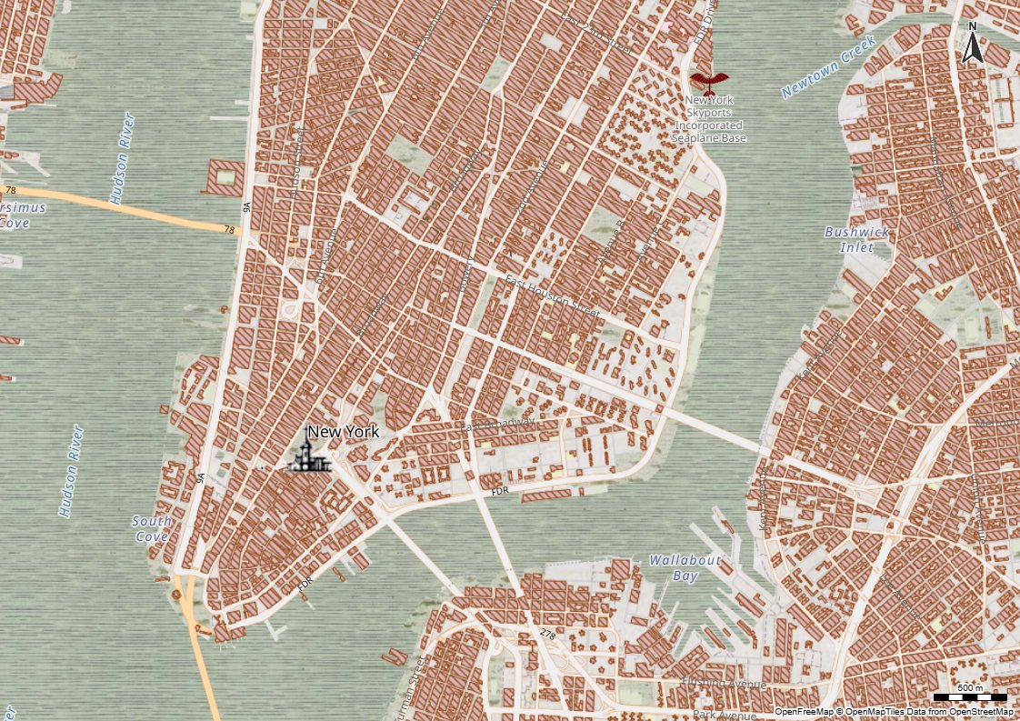
#30DayMapChallenge day 20: OpenStreetMap Carte de #Cassini mondiale 🌐 adding #OSM old map style (1700s) to OpenFreeMap 🗺️ Zsolt Ero #OpenAndFree #GeoCommun 📄 Github project: github.com/Viglino/geoser… 🗺️Test online: macarte.ign.fr/carte/0jFLuT/O…

#30DayMapChallenge day 20: OpenStreetMap
Carte de #Cassini mondiale 🌐
adding #OSM old map style (1700s) to <a href="/OpenFreeMapOrg/">OpenFreeMap</a> 🗺️ <a href="/hyperknot/">Zsolt Ero</a> #OpenAndFree #GeoCommun
📄 Github project: github.com/Viglino/geoser…
🗺️Test online: macarte.ign.fr/carte/0jFLuT/O…
Copernicus Marine (@cmems_eu) 's Twitter Profile Photo

🚨 1 week left to register for our #Dataviz webinar❗️ Join our keynote speaker, Topi Tjukanov, as he shares tips & tricks for creating impactful visualisations using marine data Find out more about the agenda 👇 events.marine.copernicus.eu/dataviz-webina…

🚨 1 week left to register for our #Dataviz webinar❗️ 

Join our keynote speaker, <a href="/tjukanov/">Topi Tjukanov</a>, as he shares tips &amp; tricks for creating impactful visualisations using marine data 

Find out more about the agenda 👇 
events.marine.copernicus.eu/dataviz-webina…