Cody Thomas
@realcodythomas
Instagram: realcodythomas
I use drones to get that data
Agriculture
Natural Resources
ID: 479676363
http://Highroglyph.com 31-01-2012 17:00:28
435 Tweet
130 Followers
391 Following

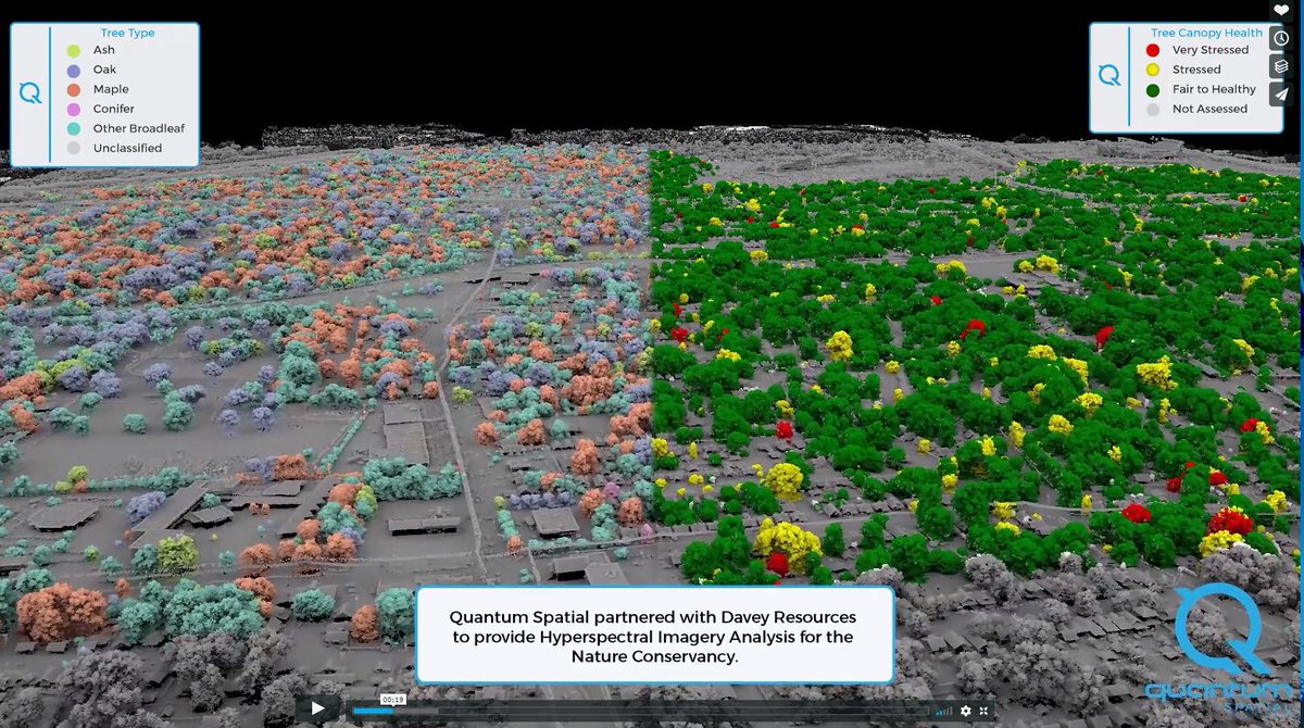
So much eye-candy and a brilliant way to showcase multi-sensor outputs to describe a diverse urban forest. Well done, Quantum Spatial is now NV5 Geospatial Watch the video here ow.ly/rywK30kkxQz


Impossible Aerospace announced an all new electric drone with an impressive flight time of 2 hours. Glad to have worked with them to integrate our 3p sensor onto their US-1 quadcopter. bit.ly/2QmjQoJ #drones #impossibleaerospace #agtech

Thank you to Verizon who will donate $1 for every RT, up to $1.5M, in support of our nations first responders through the GarySiniseFoundation (1.18.19 – 2.8.19)! I’m proud to partner with Verizon and introduce The Team That Wouldn’t Be Here. Join me in recognizing first responders.

Rice Farmer Is Changing The Way They Treat Weeds In Rice - Cody Thomas is the owner of Highroglyph in Sacramento, CA. As a third-generation rice farmer, he truly cares about the value he can provide fellow farmers. #agtech #agdrones #rice #ricefarmer bit.ly/2SfFM8O


Dramatic aerial footage of flooding in Williams, Colusa County today, following another round of #cawx storms in the #SacValley. Video by Cody Thomas #cawater Maven kcranews The Sacramento Bee


DroneDeploy Agriculture Aerial Happened to me today. Matrice 100 with @SLANTRANGE sensor. Locked me down to 9 miles per hour.


