Project OSRM
@projectosrm
Planet-wide OpenstreetMap based routing
ID: 525603851
http://map.project-osrm.org 15-03-2012 18:09:36
2,2K Tweet
1,1K Followers
4 Following

Hey Project OSRM I am working on a Cython wrapper for osrm-backend. Check it out github.com/enricodvn/pyos…



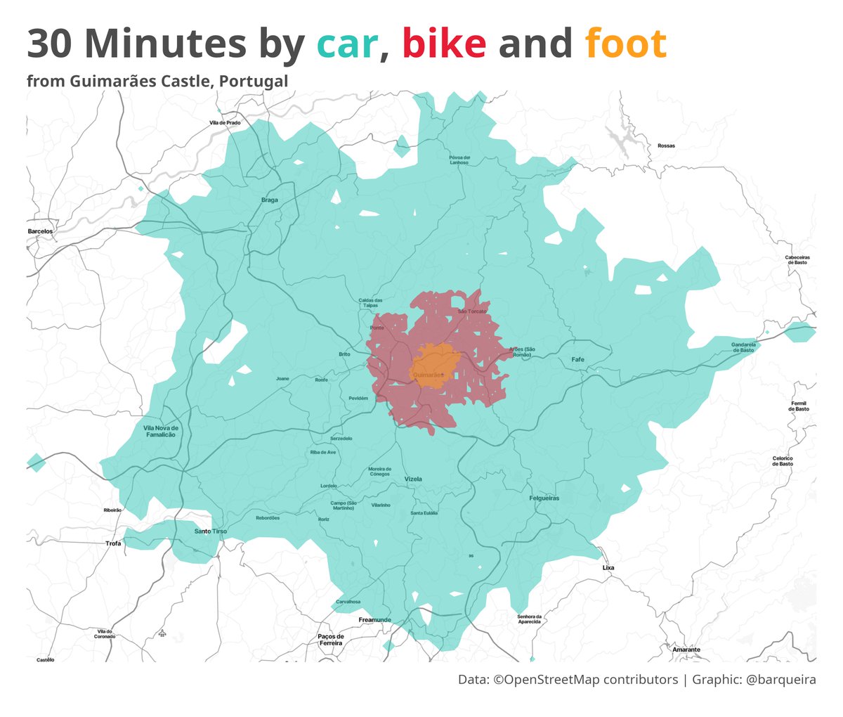
How far can one drive, cycle, and walk from the Castle of Guimarães ("Portugal Was Born Here") in 30 minutes? Credits to Colin Angus Data: Project OSRM via {osrm} #rstats #Portugal #dataviz #rspatial

The Socioeconomic Profile of Commuters Likely Affected by Bridge Collapse — an analysis by U.S. Census Bureau using OSRM. census.gov/library/storie…


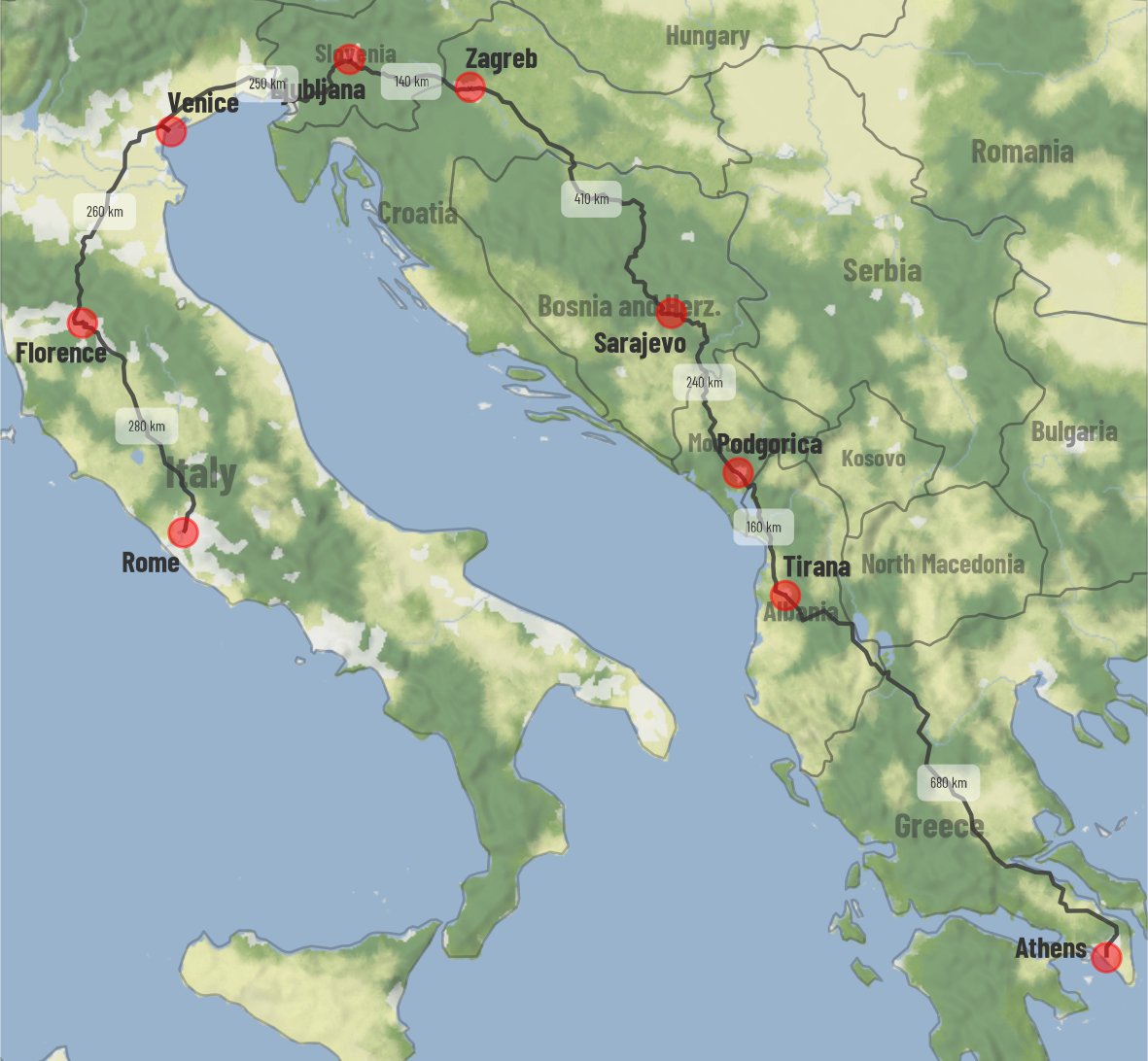
#dataviz How to plot Driving Directions using Open Street Maps Routing Service in R Data: OpenStreetMap openrouteservice.org (ORS) Code 🔗 tinyurl.com/open-drive-maps Tools #rstats #ggplot2 #sf, {tidygeocoder} by Jesse Cambon dieghernan ن, {osrm}, {ggmap} by David Kahle

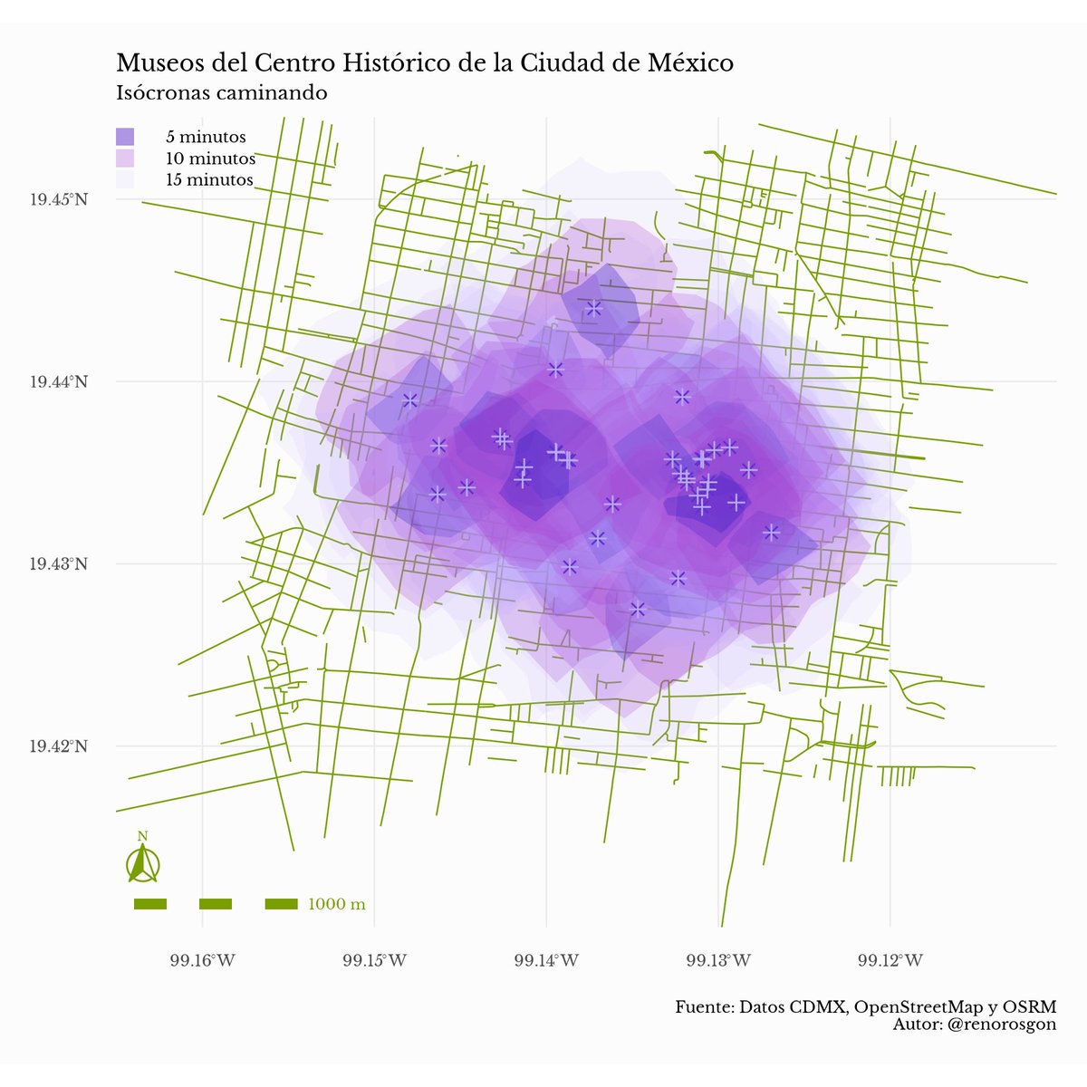
#30DayMapChallenge Día 12 - Tiempo y espacio Pasó de ser algo analítico a algo que evoca a las jacarandas de la CDMX. Aquí muestro la distancia que puedes recorrer a pie desde cada uno de los museos del Centro Histórico usando data de OpenStreetMapMX y Project OSRM #rstats
