OpenStreetMapLibya (@maplibya) 's Twitter Profile
OpenStreetMapLibya

@maplibya

OpenStreetMap Libya is a non-profit association

ID: 1143194905797435393

calendar_today24-06-2019 16:31:19

63 Tweet

142 Followers

399 Following

OpenStreetMapLibya (@maplibya) 's Twitter Profile Photo

دعوة للمشاركة في الماباثون الشهري لخريطة الشارع المفتوحة... من خلال هذا اللقاء يمكنكم تعلم آلية العمل على خريطة الشارع المفتوحة والمشاركة في رسم خرائط بعض المدن في دولة تنزانيا وتنمية مهاراتكم في مجال نظم المعلومات الجغرافية.

kartaview (@kartaview) 's Twitter Profile Photo

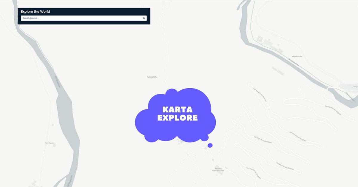
#Kartaexplore is in the middle of nowhere. This is one of the roads you'd have to take to reach one of the most beautiful landmarks in the world. We know you know it #kartaviewers! 💜 Hint bit.ly/36ZwaVt

#Kartaexplore is in the middle of nowhere. This is one of the roads you'd have to take to reach one of the most beautiful landmarks in the world. 
We know you know it #kartaviewers! 💜
Hint bit.ly/36ZwaVt
Open Geospatial: OGC (@opengeospatial) 's Twitter Profile Photo

The OGCs Health Domain Working Group is being co-located at the #SgGeoFest during #OGC21Sept Member Meeting. Engage with your community to create an impact on topics such as security of health data, global health equity, and so much more! Register Now: go.myogc.org/3AzZBu1

The OGCs Health Domain Working Group is being co-located at the #SgGeoFest during #OGC21Sept Member Meeting. Engage with your community to create an impact on topics such as security of health data, global health equity, and so much more! Register Now: go.myogc.org/3AzZBu1
OpenStreetMapLibya (@maplibya) 's Twitter Profile Photo

We can watch #ArmDevSummit early and access more than 50 on-demand technical sessions now! devsummit.arm.com/en/tech-hub devsummit.arm.com/en/about

Ombretta Tempra (@ombrettatempra) 's Twitter Profile Photo

Dr Jamal Gledan presents fit-for-purpose land administration at the Expert Group Meeting on the Role of Land Professionals in advancing Good Land Governance in the Arab Region, organizer by Istidama, Arab Land Initiative UN-Habitat GlobaLandToolNetwork
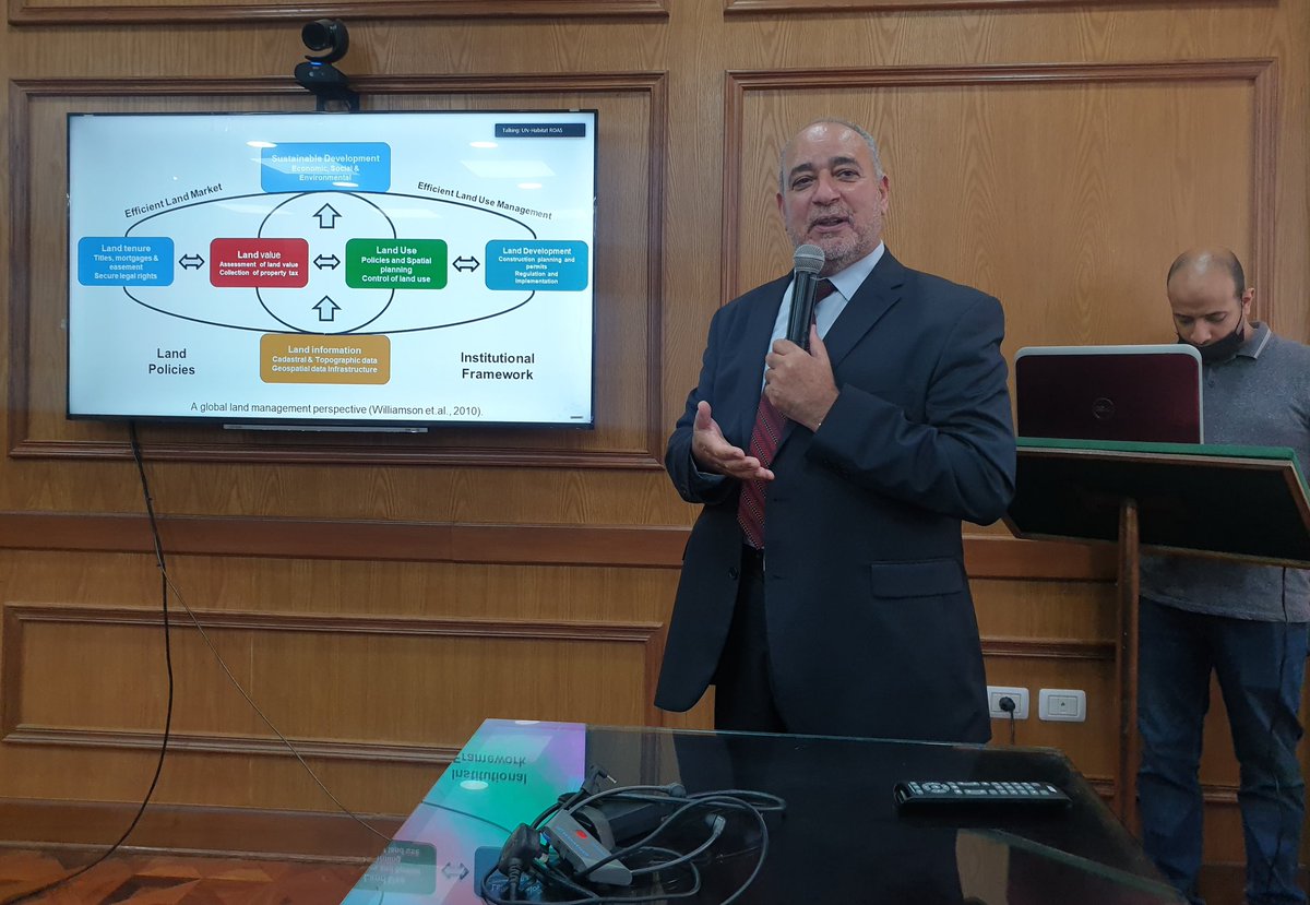
Dr Jamal Gledan presents fit-for-purpose land administration at the Expert Group Meeting on the Role of Land Professionals in advancing Good Land Governance in the Arab Region, organizer by Istidama, <a href="/GLTNArabLand/">Arab Land Initiative</a> <a href="/UNHABITAT/">UN-Habitat</a> <a href="/GLTNnews/">GlobaLandToolNetwork</a>
Open Geospatial: OGC (@opengeospatial) 's Twitter Profile Photo

The next chapter at OGC is here. Join us in celebrating the organization's new brand, and continued commitment to making location information Findable, Accessible, Interoperable, and Reusable: youtube.com/watch?v=V9zS6h… #Geospatial #Location

UN Mappers (@un_mappers) 's Twitter Profile Photo

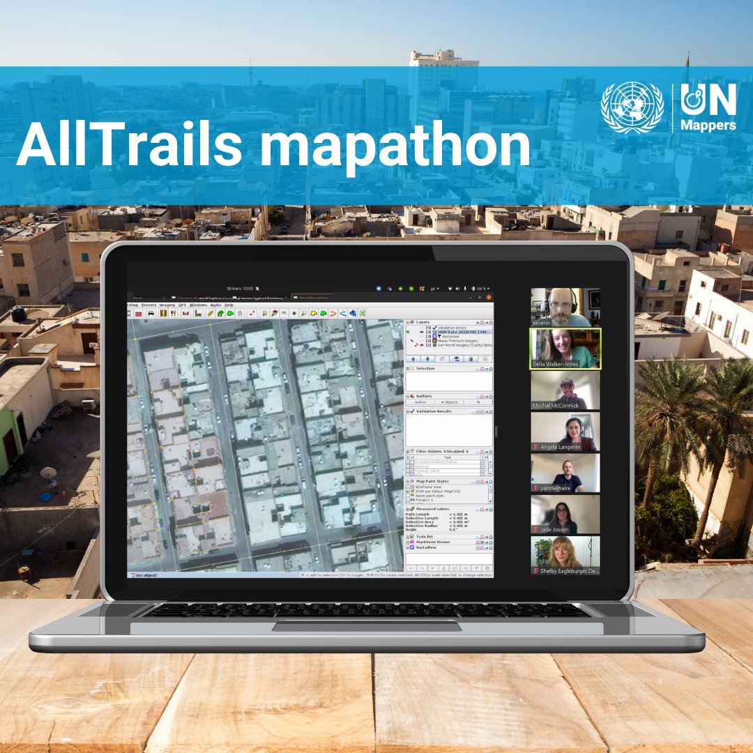
AllTrails also contributed to the mapping of the city of Tripoli! Do you know that you can give your contribution by mapping in this project? tasks.hotosm.org/projects/12289 AllTrails #gischatbot

AllTrails also contributed to the mapping of the city of Tripoli! Do you know that you can give your contribution by mapping in this project? tasks.hotosm.org/projects/12289

<a href="/AllTrails/">AllTrails</a> <a href="/gischatbot/">#gischatbot</a>