Dan Buscombe (@magic_walnut) 's Twitter Profile
Dan Buscombe

@magic_walnut

Geoscientist and immigrant. Open source software, reproducible research, machine learning. Self-employed @ScienceMarda working with @USGSCoastChange. He/him.

ID: 16840889

linkhttps://github.com/MARDAScience calendar_today18-10-2008 16:59:55

3,3K Tweet

965 Followers

1,1K Following

CSDMS (@csdms) 's Twitter Profile Photo

Webinar recording now available! "Machine Learning Part 1", Dan Buscombe and Evan Goldstein. csdms.colorado.edu/wiki/Presenter…

Dan Buscombe (@magic_walnut) 's Twitter Profile Photo

I had fun telling the world about the Doodleverse this month📢 Evan Goldstein and I gave 2, 2hr CSDMS webinars Part 1 (Doodler): youtu.be/BarGUQ5CuA0 Part 2 (Gym): youtu.be/mSsUT88IIH8 I also gave a 35 min overview for Robin Cole 's podcast series youtu.be/0I1TOOGfdZ0

Cameron Bodine (@bodine_cs) 's Twitter Profile Photo

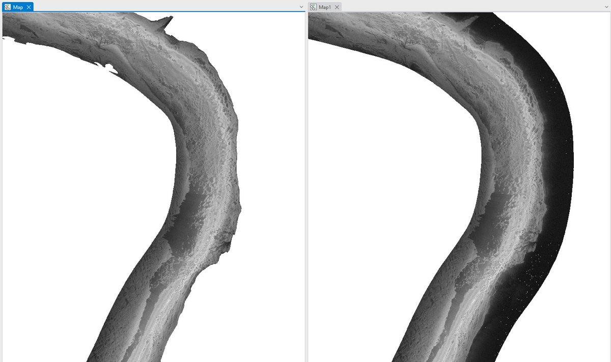
Shadows caused by #River banks removed on rectified mosaic w/ #PINGMapper! Results will improve w/ future models. Avail now on the dev branch! github.com/CameronBodine/…

Shadows caused by #River banks removed on rectified mosaic w/ #PINGMapper! Results will improve w/ future models. Avail now on the dev branch!

github.com/CameronBodine/…
Cameron Bodine (@bodine_cs) 's Twitter Profile Photo

The first automatically generated substrate map from PING-Mapper! Clearly plenty of improvement needed, but a significant step forward! Dan Buscombe check it out! #remotesensing
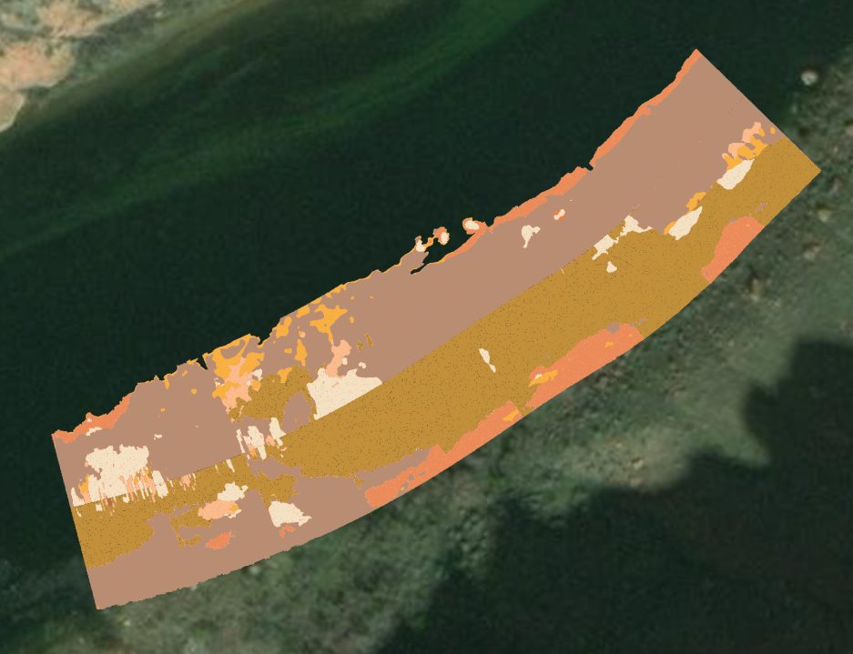
The first automatically generated substrate map from PING-Mapper! Clearly plenty of improvement needed, but a significant step forward! <a href="/magic_walnut/">Dan Buscombe</a> check it out! #remotesensing
Cameron Bodine (@bodine_cs) 's Twitter Profile Photo

Had a great time in #Boulder CO showing off #PING-Mapper at the #CSDMS meeting. And Dan Buscombe made PING-Mapper stickers! It’s a legit software now!
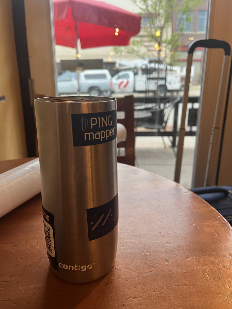
Had a great time in #Boulder CO showing off #PING-Mapper at the #CSDMS meeting. And <a href="/magic_walnut/">Dan Buscombe</a> made PING-Mapper stickers! It’s a legit software now!

Kilian Vos (@_kvos) 's Twitter Profile Photo

our new paper led by Jon Warrick & Dan Buscombe, 40 years of satellite images capture a massive sediment wave in Northern #California! The observations are then compared to alongshore diffusion theory. Link to data: 10.5281/zenodo.7641756 #Landsat #sediment #opendata #CoastSat
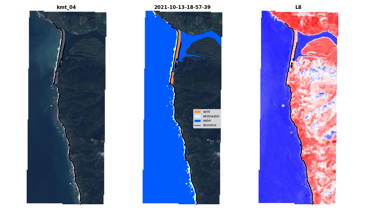
our new paper led by Jon Warrick &amp; <a href="/magic_walnut/">Dan Buscombe</a>, 40 years of satellite images capture a massive sediment wave in Northern #California! The observations are then compared to alongshore diffusion theory. Link to data: 10.5281/zenodo.7641756 #Landsat #sediment #opendata #CoastSat
Cameron Bodine (@bodine_cs) 's Twitter Profile Photo

Attending #AFS2023 American Fisheries Society? I am! I'll share how #PINGMapper can map substrates from recreation-grade sonar systems, AUTO-MAGICALLY! Monday, August 21, 2023 at 1:40 PM, DeVos Place - River Overlook F Find out more about PING-Mapper on GitHub bit.ly/3GUR21u
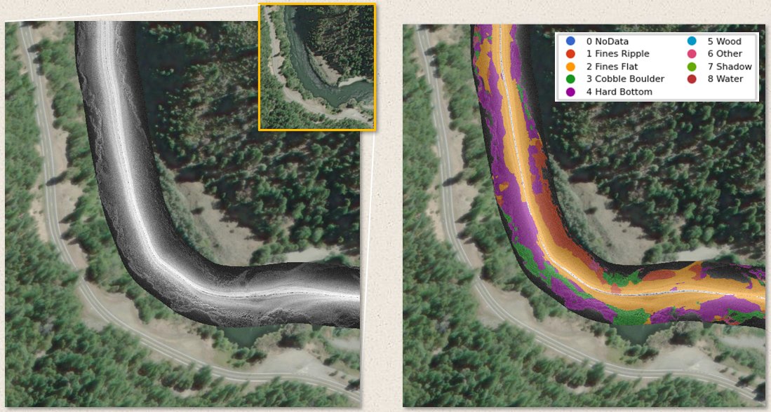
Attending #AFS2023 <a href="/AmFisheriesSoc/">American Fisheries Society</a>? I am! I'll share how #PINGMapper can map substrates from recreation-grade sonar systems, AUTO-MAGICALLY!

Monday, August 21, 2023 at 1:40 PM, DeVos Place - River Overlook F

Find out more about PING-Mapper on GitHub bit.ly/3GUR21u
Cameron Bodine (@bodine_cs) 's Twitter Profile Photo

🎇An alpha version of #PINGMapper v2.0 is available now! PINGMapper is compatible with any Humminbird side imaging sonar system. It is open-source and freely available! Details avail. in forthcoming manuscript. #remotesensing bit.ly/3GUR21u