Jonathan Sachar
@jsacharwx
Storm Chaser - Amateur Radio Operator (KQ4FNJ) - United States Air Force🇺🇸✈️
ID: 4198982991
16-11-2015 03:58:29
4,4K Tweet
1,1K Followers
523 Following

Beautiful snowy scenery in downtown Milton, FL this afternoon! NWS Mobile James Spann Spinks Megginson Florida Storm Chasers #wxtwitter #flwx

A couple more photos of road conditions across Santa Rosa County, FL including I-10! All roads are completely snow covered! NWS Mobile Spinks Megginson James Spann Florida Storm Chasers #wxtwitter #flwx


I-10 in East Milton is closed!! We lost power a few hours ago also! NWS Mobile James Spann Spinks Megginson Florida Storm Chasers #wxtwitter #flwx

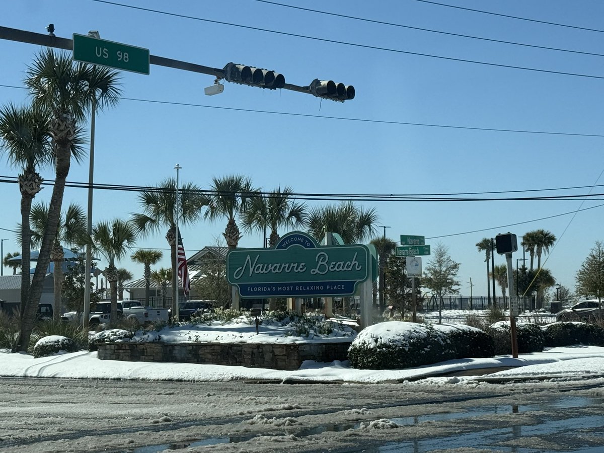
Snowy scene heading to Navarre Beach, Florida! Absolutely insane! NWS Mobile Spinks Megginson James Spann Florida Storm Chasers #wxtwitter #flwx


Large controlled burn on Eglin AFB property this afternoon! Seen from Milton, FL! NWS Mobile Spinks Megginson James Spann #wxtwitter #flwx


Somewhat partly cloudy skies near Meridian, MS. Lots of sun… incredible day ahead. James Spann Spinks Megginson #wxtwitter #mswx


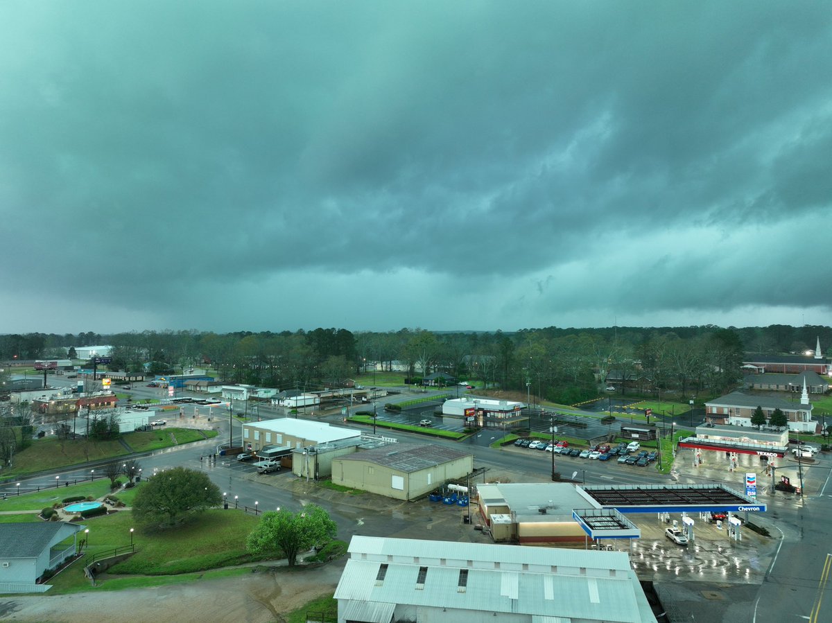
View of a tornado warned storm in Bay Springs, MS. NWS Jackson MS Spinks Megginson James Spann #wxtwitter #mswx

Tree damage blocking roadway southwest of Bay Springs on State Route 531. NWS Jackson MS James Spann Spinks Megginson #wxtwitter #mswx


Nasty damage in Taylorsville, MS. Attempting to help, another storm is inbound. NWS Jackson MS Spinks Megginson James Spann #wxtwitter #mswx

Strong winds and waves on the Mobile Causeway! NWS Mobile James Spann Spinks Megginson #wxtwitter #alwx

The entrance onto I-10 eastbound is closed from the Mobile Causeway. The winds are just ripping! NWS Mobile James Spann Spinks Megginson #wxtwitter #alwx


A controlled burn on Eglin AFB range is creating smoky conditions on I-10 near Crestview, FL. Quite a large burn! NWS Mobile Spinks Megginson James Spann #wxtwitter #flwx


