Jeff Harrison
@jeffharrison
Working on interoperability, geosocial networking and democratic access. Recovering entrepreneur, intelligence officer, open geospatial guy.
ID: 3824841
08-04-2007 22:19:27
9,9K Tweet
3,3K Followers
2,2K Following

#DYK Army Geospatial is experimenting with AI conversational interfaces for interacting with Releasable Basemap Tiles (#RBT). We can pan (“move 20 km to the east”), navigate (“go to Turin”), and change map styles (“make built-up areas opaque”). Just beginning ...


#YearInReview. See five reasons why Army Soldiers should use Army Geospatial's Releasable Basemap Tiles (#RBT) for their global, multiscale webmaps.

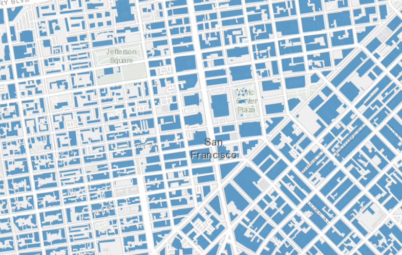
.Army Geospatial recently added 2.3 billion buildings from Overture Maps Foundation to its next-generation basemap, Releasable Basemap Tiles (#RBT). The open data consists of building footprints and heights from multiple sources with many derived from high-resolution satellite imagery.


New imagery of Iran’s Arak heavy water reactor after Israeli Air Force aircraft hit the facility this morning. The inactive reactor containment building can be seen split open by multiple Israeli bombs. Via Maxar Technologies


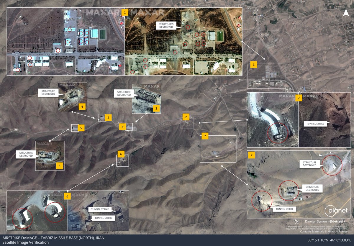
Imagery collected today shows an underground facility targeted by Israel approximately 20-kilometers west of the Fordow nuclear site in Iran The Intel Lab 📍maps.app.goo.gl/fu5LxanUKGeiw6…


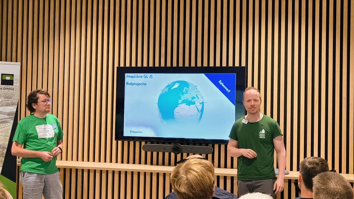
We’ve had a fantastic round of conferences so far: ✨ State of the Map US , all materials available at: github.com/maplibre/works… ✨ FOSS4G Netherlands Next stop FOSS4G Europe 2025, meet our team and join the conversation on open source mapping #maplibre #foss4g #FOSS4GE #mostar #osgeo


