Geospatial Semester
@geosemester
A partnership between high schools in Virginia and James Madison University allows students to learn geospatial technologies and earn credit from JMU.
ID: 348036912
http://www.isat.jmu.edu/geospatialsemester/ 03-08-2011 19:35:21
168 Tweet
222 Followers
10 Following


We Approve! @jmuisat JMUOutreach @JMU Esri GIS Education Esri CPS - Chicago Public Schools edscoop.com/geospatial-tec…



Very proud of Albemarle High School Geospatial Semester student Keelin O'Hara and her being accomplishment as one of 8 high school Ss to receive a USGIF GEOINT scholarship! Bravo Keelin! AlbemarleCountySchls geospatial-solutions.com/usgif-awards-1…


tandfonline.com/doi/full/10.10… Results suggest that GIS-based instruction can be used to enhance students’ use of spatial reasoning when solving STEM-relevant problems. Thanks David Uttal et al. #gis
Round 1 of midterm presentations complete. Nice job everyone! And thank you to our guests for coming out from USGIF, GGS Department, Fairfax County Government 🇺🇸, City of Fairfax, VA, National Geographic, and Psychology @ Georgetown. Round 2 on Friday! #GISatFHS #k12gis Geospatial Semester
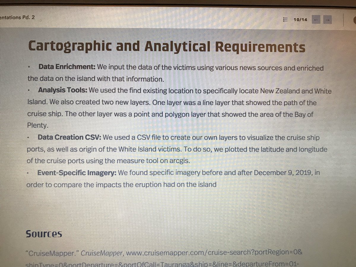
Heritage students presenting at ESRI Federal User Conference, representing Heritage High School and Geospatial Semester ! #esri #esrifeduc20
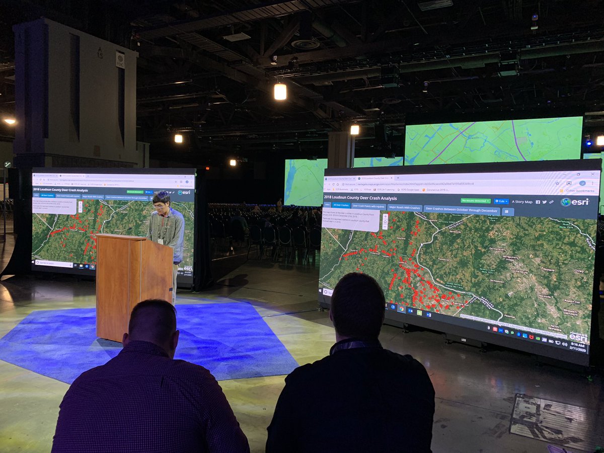

Fairfax Geospatial Semester students presenting work at ESRI #FedGIS conference Jason Smolinski Esri National Government @jmuisat
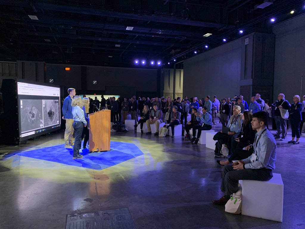

So proud of these three representing our Geospatial Analysis classes at the Esri Federal GIS User Conference. Well done! #FedGIS #GISatFHS #k12gis Geospatial Semester @FCPSScience
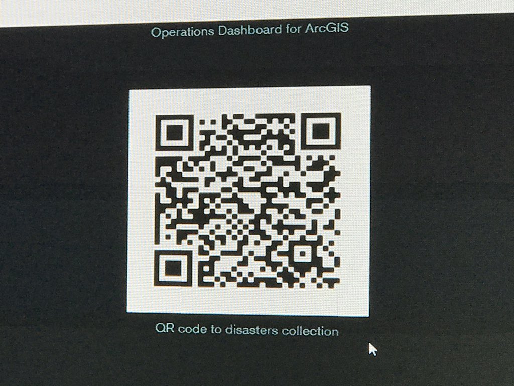

Thank you Jack Dangermond #esri for the great welcome to this years Geospatial Semester students! What a great, inspiring message. Our students are going to love it! drive.google.com/file/d/1CvrC3i…


Some insights on location based services in the classroom from Bob Kolvoord Kathryn Keranen Paul Rittenhouse urldefense.proofpoint.com/v2/url?u=http-…

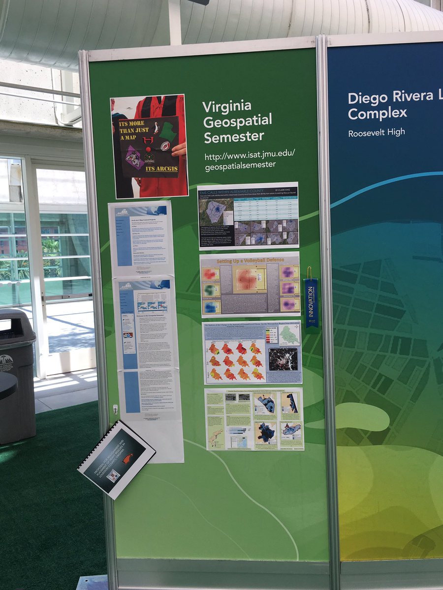
GSS student projects recognized for innovation and on display in Map Gallery at #EsriUC @JMUOutreach @jmuisat Bob Kolvoord Kathryn Keranen

Happy #GISDay ! @jmuisat @JMUGeoSci Geospatial Semester AlbemarleCountySchls x.com/darahbonham/st…

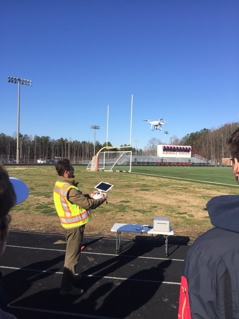
Thanks to Skyclad Aerial for working with AHS GSS to learn how to use drones to capture aerial photos for #GIS applications. Chris Bunin @jmuisat AlbemarleCountySchls
