Future Meteorologist Chandler Barnes (@future_chandler) 's Twitter Profile
Future Meteorologist Chandler Barnes

@future_chandler

Future Meteorologist for the Carolinas. Technology Fixer for Churches. Loves Family and Friends.

ID: 1351949687683743746

calendar_today20-01-2021 17:48:27

110 Tweet

169 Followers

1,1K Following

Future Meteorologist Chandler Barnes (@future_chandler) 's Twitter Profile Photo

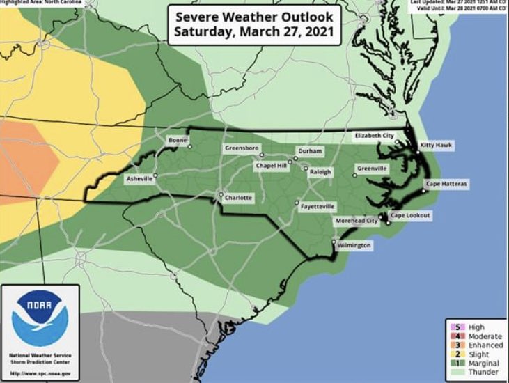
Today, our viewing area has been placed under a 1 out of 5 threat for severe weather which is fairly low but the Chances are still there so you have to be on aware mode. The main threat will be damaging winds and large hail for today. The tornado chances are near zero for today.

Today, our viewing area has been placed under a 1 out of 5 threat for severe weather which is fairly low but the Chances are still there so you have to be on aware mode. The main threat will be damaging winds and large hail for today. The tornado chances are near zero for today.
NASA (@nasa) 's Twitter Profile Photo

🚁 #MarsHelicopter Update We're targeting as soon as Monday for the first controlled flight on Mars. Watch with the team as they receive data and find out if they were successful. Meet us in mission control April 19 at 6:15am ET (10:15am UTC): go.nasa.gov/32rmbG5

Future Meteorologist Chandler Barnes (@future_chandler) 's Twitter Profile Photo

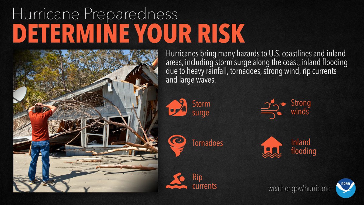
It’s not just those along the coast that can experience significant, life-threatening impacts. Evaluate what you need to do to protect your home and family NOW, before the first storm of the season even forms. #HurricanePrep #HurricaneStrong

It’s not just those along the coast that can experience significant, life-threatening impacts. Evaluate what you need to do to protect your home and family NOW, before the first storm of the season even forms. #HurricanePrep #HurricaneStrong
Future Meteorologist Chandler Barnes (@future_chandler) 's Twitter Profile Photo

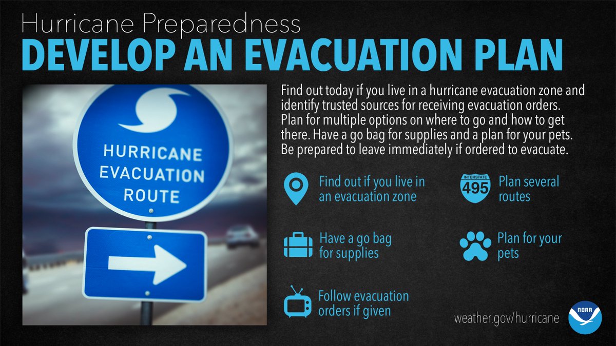
Are you in a hurricane evacuation zone, or in a home that would be otherwise unsafe in a hurricane? If so, think now, about where you’d go and how you’d get there if you're told to evacuate. #HurricanePrep #HurricaneStrong

Are you in a hurricane evacuation zone, or in a home that would be otherwise unsafe in a hurricane? If so, think now, about where you’d go and how you’d get there if you're told to evacuate. #HurricanePrep #HurricaneStrong
National Hurricane Center (@nhc_atlantic) 's Twitter Profile Photo

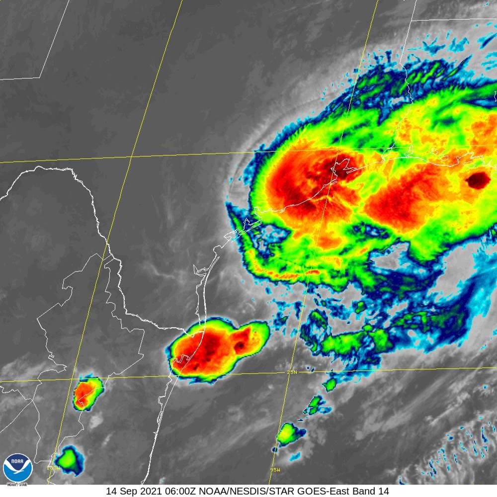
1230 AM CDT 14 September -- Hurricane #Nicholas has made landfall on the eastern part of the Matagorda Peninsula, about 10 miles west-southwest of Sargent Beach, Texas. Maximum sustained winds were 75 MPH with higher gusts at landfall. Latest: nhc.noaa.gov/#Nicholas

1230 AM CDT 14 September -- Hurricane #Nicholas has made landfall on the eastern part of the Matagorda Peninsula, about 10 miles west-southwest of Sargent Beach, Texas. Maximum sustained winds were 75 MPH with higher gusts at landfall.

Latest: nhc.noaa.gov/#Nicholas
Ed Piotrowski (@edpiotrowski) 's Twitter Profile Photo

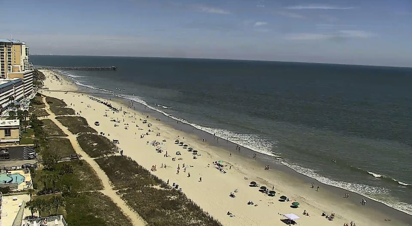
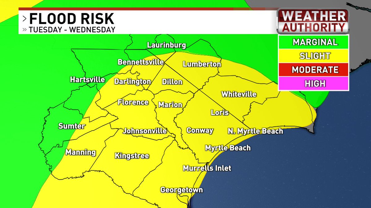
Stalled front, an onshore flow and tropical moisture will lead to rounds of heavy rain over the next 2 days (especially Tuesday). 2-4" of rain looks likely for many. Isolated amounts near 5" possible. Some minor flooding will be possible in streets and low lying areas #scwx #ncwx

Stalled front, an onshore flow and tropical moisture will lead to rounds of heavy rain over the next 2 days (especially Tuesday). 2-4" of rain looks likely for many. Isolated amounts near 5" possible. Some minor flooding will be possible in streets and low lying areas #scwx #ncwx