
flatgeobuf
@flatgeobuf
A performant binary encoding for geographic data based on flatbuffers
ID: 1120045585145434113
https://github.com/flatgeobuf/flatgeobuf 21-04-2019 19:24:11
272 Tweet
800 Followers
53 Following


Simon Elvery Glad to have helped. Will the public spot them in action in an upcoming article? cc flatgeobuf - another satisfied customer 🎉


43VR❤️&💡 MapLibre flatgeobuf The buildings are just osm extracted through the QGIS plugin QuickOSM and just loaded as flatgeobuf. The point cloud I just took from the deck gl tutorial and moved it's anchor. I might have some time for a tutorial soon, but there are a few waiting before that.

@geonanayi If I don't need to edit, I'll always use flatgeobuf for its speed, size and it's ability to stream.

I recently got to spend an amazing week at gradientretreat and I used it to dig more deeply into flatgeobuf which I think is very cool. Now I'm back home and getting around to publishing some of my findings: worace.works/2022/02/23/kic…

Got some more flatgeobuf notes to share: worace.works/2022/03/12/fla… This is a more detailed implementer's guide covering topics I wished I knew when writing a GeoJSON -> FGB encoder. Useful for anyone trying to get into the nuts and bolts of how it works.

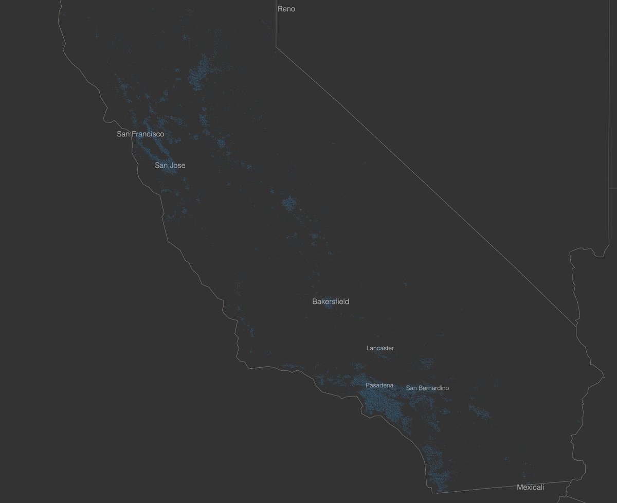
I've added basic flatgeobuf support to the Protomaps https://bsky.app/profile/protomaps.com tippecanoe fork which you can try out now: github.com/protomaps/tipp… test dataset: Microsoft California Building Footprints (~3.6GB) reading GeoJSONSeq: 75 seconds reading FlatGeobuf: 10 seconds!


This session is happening in 50 minutes! Lots of great talks on GeoParquet, which just got a 0.2 release (x.com/alasarr/status…). Do also check out the talk on flatgeobuf from earlier today for the full cloud-native vector picture: drive.google.com/file/d/1Yd9lfX… #cloudnativegeo

While GeoParquet looks cool and fast (but not spec stable) it's not on Twitter, I'm not sure that is ok for a spatial format? :D

Björn Harrtell Kyle Barron kylebarron.dev on bsky Ben Schmidt / @[email protected] flatgeobuf GeoPackage For me FlatGeobuf is also clearly the first cloud-native vector format, as it was designed for http range requests. It's set a very high bar for all that's needed to be a modern spatial format, especially the big investment in the 'ecosystem' of tools to support it.

Follow detailed steps to configure MapServer for accessing flatgeobuf as well as for WFS output of FGB : mapserver.org/input/vector/f… #foss4g #sharing cc ShapefiIe (@[email protected])


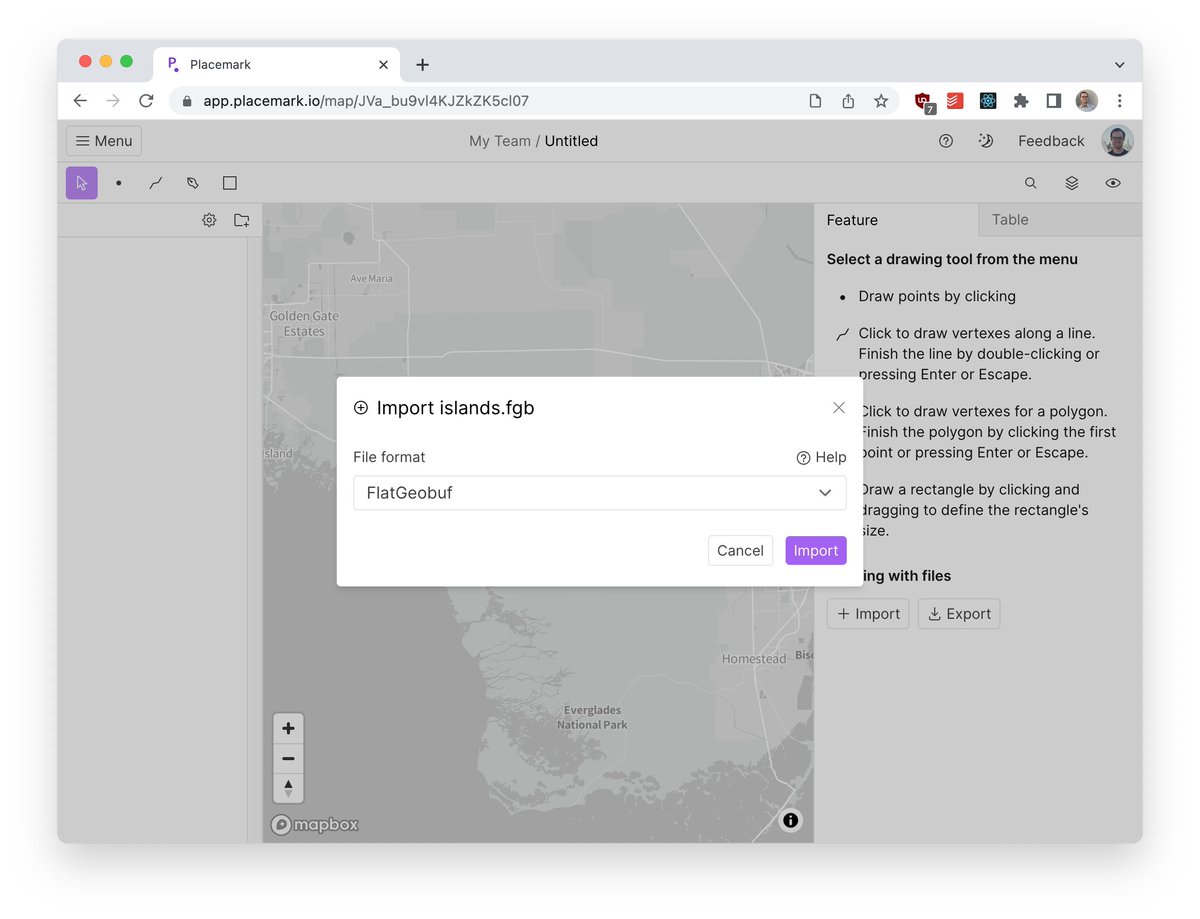
Fresh new import format: flatgeobuf! An efficient, fancy, modern alternative to formats like GeoJSON & Shapefiles.


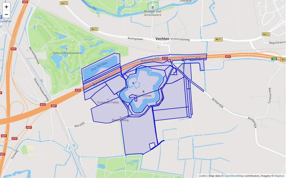
new Observable notebook: Spatial query on @FlatGeobuf 8 million cadastral parcels datafile (4GB) hosted on Microsoft Azure blob storage and visualize in @Leaflet observablehq.com/@bert/flatgeob…

To ShapefiIe (@[email protected]) or not to ShapefiIe (@[email protected]) ? That is a question...


Nice, flatgeobuf becoming Open Geospatial: OGC community standard! portal.ogc.org/files/?artifac… See for my early experiments with FlatGeoBuf bertt.wordpress.com/2022/05/03/fla…

Finally got some time to take the new flatgeobuf support in FME 2023 beta for a spin. Sorry ShapefiIe (@[email protected]), this thing seems pretty solid. And fast. 750k features per second on read.

